
Mount Rainier Hiking by Corridor, Snow, and Access
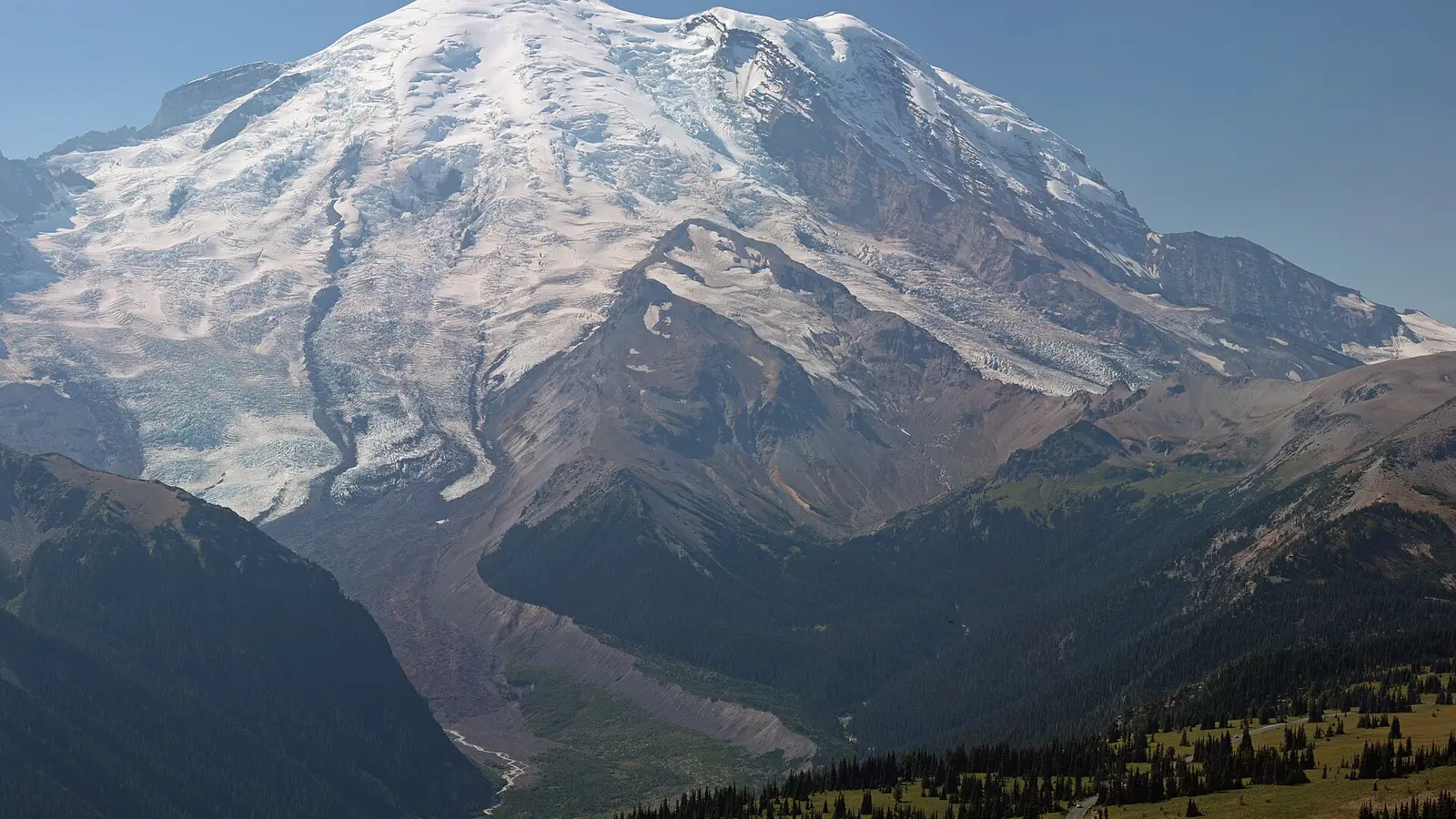
Plan Mount Rainier hiking by corridor, road status, snow continuity, weather, elevation, permit class, and the difference between a trail and technical terrain.
Weather
Conditions change rapidly with elevation. Rain, fog, wind, lingering snow, cold rivers, lightning, and wildfire smoke can alter a route during the same day.
Plan the practical details
- Access
- Paradise, Sunrise, Ohanapecosh, Carbon River, and other approaches reach different sides of the mountain. Seasonal roads and 2026 construction can remove day-use options.
- Permits
- No timed-entry reservation in 2026. Wilderness camping, climbing, and some activities require separate permits; day-use parking is not guaranteed.
Mount Rainier hiking begins with a corridor decision. Paradise, Sunrise, Longmire, Carbon River, and the southeast side reach different elevations and trail systems, and 2026 construction or fire closures can remove one area without closing the entire park.
There is no timed-entry reservation anywhere in Mount Rainier National Park in 2026. That removes one booking step, but it does not reserve parking, reopen a construction zone, or make a high trail free of snow.
Check the corridor before the trail. These are the decisions that can invalidate the day before mileage matters.
- Open the current road, fire, and trail alerts for the chosen corridor
- Confirm whether the trailhead has legal day-use parking in 2026
- Check the snow level at the highest and most shaded section
- Read the mountain forecast rather than the lowland forecast
- Choose a lower same-corridor fallback before leaving lodging
- Carry the route offline because service is unreliable
Which Mount Rainier entrance fits your hiking day?
Paradise provides the park's best-known access to subalpine meadows, the Skyline system, and climbing approaches on the south side. Sunrise normally reaches the highest vehicle-accessed developed area, while Longmire begins lower in old forest and historical terrain.
Carbon River approaches the wetter northwest corner through lower forest and road-to-trail transitions. The southeast side connects Stevens Canyon, Grove of the Patriarchs, and Ohanapecosh-area routes, but construction has changed several normal starting points in 2026.
Paradise
Subalpine loops, mountain views, snowfields, crowds, and the main south-side climbing approach.
Longmire
Lower forest, historic district, river-valley trails, and year-round road context when conditions allow.
Sunrise and White River
High east-side access, tundra and ridge routes, with a shorter operating season and closure sensitivity.
Carbon River and Mowich
Temperate rain forest, long road approaches, and remote northwest trail access.
Southeast corridor
Waterfalls, old forest, Stevens Canyon, and 2026 construction that changes Ohanapecosh access.
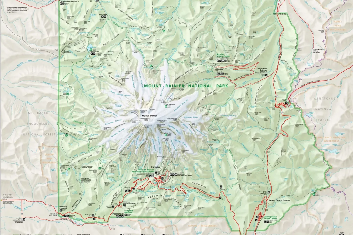
You should choose one corridor per day unless the route itself crosses between them. Driving around the mountain is slow, and a full lot at Paradise is not efficiently replaced by an improvised trip to Sunrise.
Which 2026 closures change Mount Rainier trail access?
Ohanapecosh is undergoing a major campground and water-system rehabilitation. In 2026 there is no trailhead or day-use parking at Ohanapecosh, although Silver Falls can be reached from the Grove of the Patriarchs trailhead under current access conditions.
Cougar Rock and White River campgrounds are scheduled to serve the 2026 summer season, while Ohanapecosh camping remains affected by construction. Ricksecker Point may also be closed during part of summer construction.
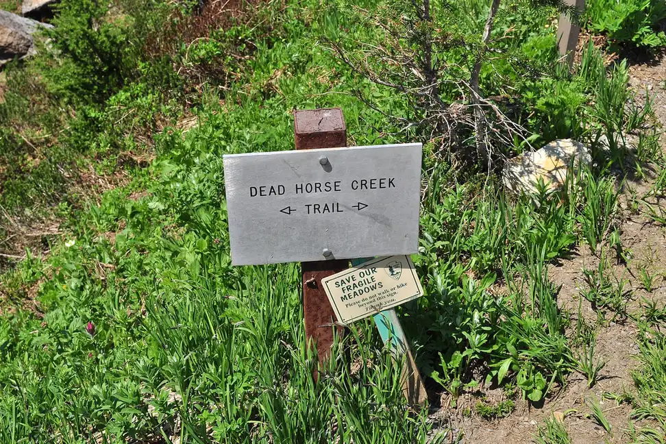
Current fires can change access even faster than construction. As of August 23, 2026, the Grand Park 2 Fire had closed Sunrise Road, White River Road, and trails originating from those roads until further notice, with additional backcountry closures changing as fire activity developed.
This is a freshness-sensitive fact, not a season-long prediction. Check the live alerts again before travel and choose another corridor when the official closure remains active.
When does snow melt from Mount Rainier trails?
High routes can hold snow well into summer after lower forest trails become dry. A sunny parking area does not confirm the condition of a shaded traverse, creek bridge, or steep slope hundreds of feet higher.
Test traction and route visibility early. If the maintained trail disappears beneath hard snow near a consequential slope, turn around before a small navigation error becomes a slide.
| Terrain state | What it changes | Better response |
|---|---|---|
| Dry lower forest | Roots, mud, and river edges remain the main footing issues | Use normal trail pace and verify bridges |
| Patchy subalpine snow | Route markers and edges can disappear intermittently | Carry map and traction appropriate to conditions |
| Continuous firm snow | Falls travel farther and the trail may be impossible to follow | Use trained snow travel judgment or choose lower terrain |
| Rapid melt | Streams rise and snow bridges weaken | Avoid unsupported crossings and check the return |
| Fresh autumn or winter snow | Roads, parking, daylight, and avalanche terrain change together | Use winter-specific routes and current hazard information |
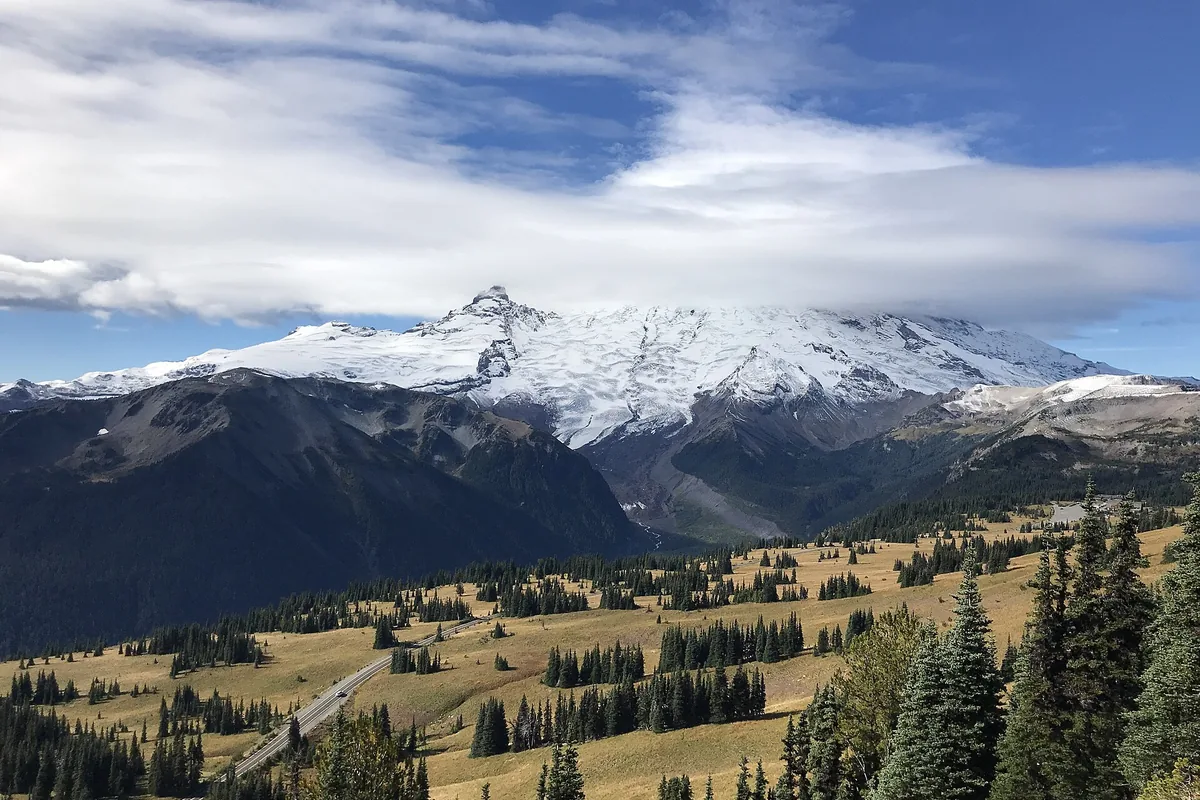
Winter hiking gear can support a suitable route, but equipment does not replace avalanche training or make an obscured traverse safe.
Why does Mount Rainier weather change so quickly?
Mount Rainier rises far above the surrounding lowlands and can create cloud, wind, precipitation, and rapid temperature changes. A clear forecast in Ashford or Enumclaw is not the forecast for Panorama Point, Burroughs Mountain, or an exposed ridge.
Start high-country hiking early enough to descend before afternoon weather and fatigue overlap. Carry a rain shell and warm layer even when the vehicle temperature feels comfortable.
- 14,410 feetSummit elevationThe mountain influences weather far below the summit
- 10,000 feetClimbing registration thresholdGoing higher or onto a glacier changes the permit boundary
- Early startUseful high-route patternPreserves time for weather and snow decisions
- TreelineA major lightning boundaryDescend before thunder reaches exposed terrain
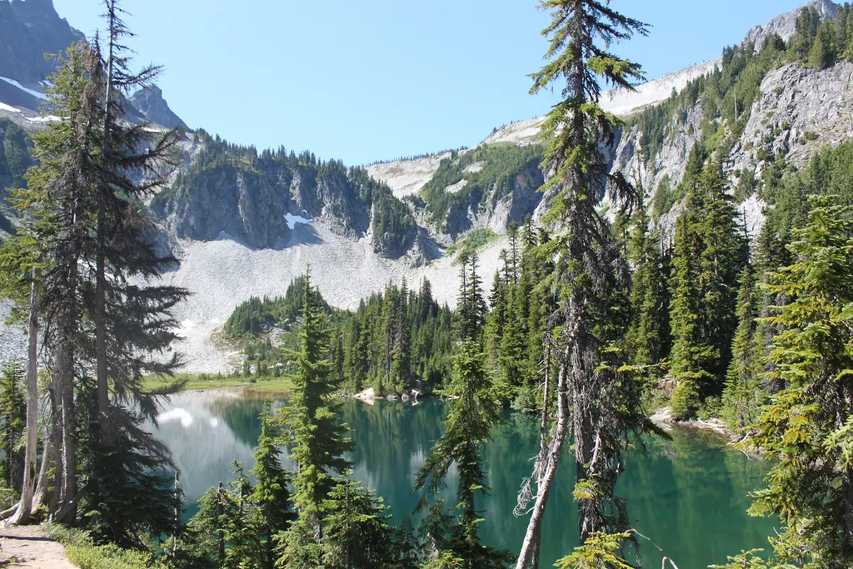
Thunder or a darkening cloud base should end time above treeline. A vehicle or substantial building is safer than a lone tree, open meadow, or rock overhang.
Can glacial rivers change a Mount Rainier route?
Rainier's rivers carry cold water, sediment, and wood from glaciated watersheds. Channels can shift, bridges can wash out, and water can rise after warm weather or heavy rain upstream.
You can use maintained bridges where available and obey closures. A braided channel that looks shallow can contain a faster main current and unstable stones.
Read a river crossing twice
- Before departureCheck bridge and trail statusThe route begins with the current crossing information
- At first viewCompare depth, speed, debris, and the far bank with the planThe group decides before entering cold water
- After warm rainExpect melt and runoff to alter the channelYesterday's crossing is not assumed usable
- On returnReassess the same crossing from the opposite bankA rising river does not receive automatic commitment
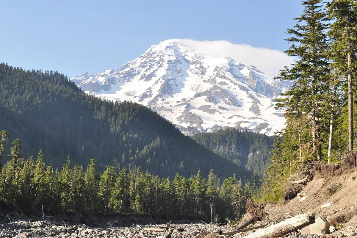
You should never climb onto a snow bridge over running water. A collapse can trap a person in a cold confined channel that rescuers cannot reach quickly.
Which Mount Rainier hikes and camps require permits?
Day hikers need the entrance pass but no wilderness permit. Every overnight wilderness camp requires a permit, available through advance reservation or limited in-person processes under current rules.
Travel above 10,000 feet or onto a glacier requires climbing registration and the climbing fee. An overnight climb also needs the appropriate wilderness permit.
- Day hike
- Entrance fee or valid pass, no wilderness camping permit
- Drive-in campsite
- Seasonal campground booking where required
- Wilderness night
- Wilderness permit for the named itinerary
- Above 10,000 feet
- Climbing registration and fee
- Glacier travel
- Climbing registration regardless of elevation
- 2026 timed entry
- Not required anywhere in the park
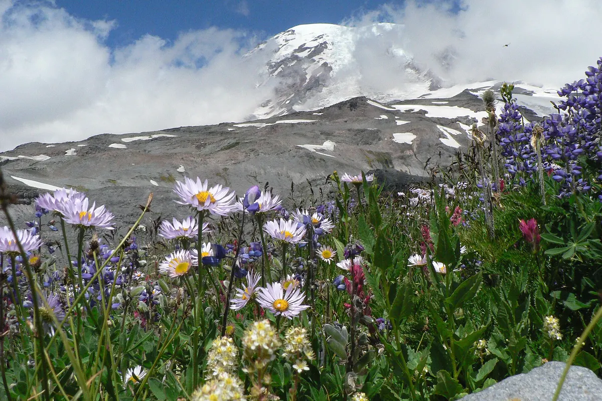
You should not let a permit create pressure to continue through fire, weather, or unsafe snow. Keep a day-hike fallback that begins from a confirmed open corridor.
When is the best time to hike Mount Rainier?
July through September usually offers the broadest high-country access, but snow, fire, construction, and storms can narrow the window within those months. Lower forest trails often become usable earlier and remain practical later.
Spring is a snow-travel season at elevation. Autumn brings cooler air and fewer visitors with shorter daylight, early snow, and facilities closing on different dates.
| Season | Most useful terrain | Main constraint | Planning focus |
|---|---|---|---|
| Spring | Lower forest and snow-based recreation | Deep snow, meltwater, limited roads, and avalanche terrain | Choose by elevation rather than calendar |
| Summer | Broadest subalpine and high-route access | Crowds, storms, fire, construction, and lingering snow | Start early with an open lower fallback |
| Fall | Forest, color, and cool ridge days | Short daylight, early snow, and reduced services | Protect the return and carry winter margin |
| Winter | Paradise-area snow recreation and selected lower routes | Road controls, avalanche hazard, cold, and storms | Use winter-specific information and carry chains where required |
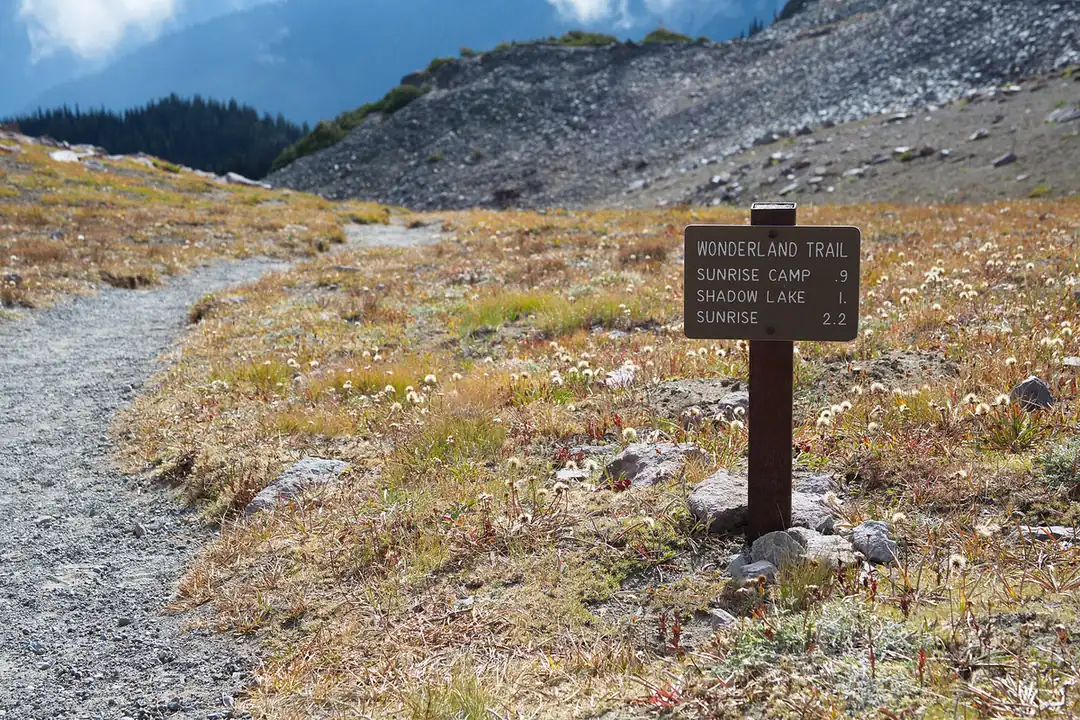
The best month cannot override a closed road or active fire. Check the actual corridor on the morning of the hike, then match the route to the highest consequential section.
Do you need timed entry to hike Mount Rainier in 2026?
Mount Rainier will not use timed entry in 2026. Visitors entering for an ordinary day trip need the entrance fee or a valid pass, but no advance corridor reservation is required.
Capacity still exists at entrance stations, roads, and parking areas. Paradise and other popular destinations can fill on summer weekends, and congestion can delay both the start and the emergency response route.
A reservation-free arrival
- Before leaving lodgingCheck the selected entrance, road, construction, and active alertsThe group avoids driving to a closed corridor
- At the entrance queueKeep the main route and a lower same-side alternative visible offlineA delay does not force improvised searching
- Lot fullContinue to the named alternative or leave the areaRoad shoulders and vegetation remain clear
- Late openingRecheck weather, snow, and daylight before attempting the original routeA parking space is useful only while the hike still fits
Arrive early because the route needs the full day, not because an early hour guarantees a space. If the approach is already slow, shorten the objective before time pressure reaches the trail.
You can use pullouts only for their intended capacity and never stop in a travel lane for wildlife or a photograph. Mountain roads have blind curves, steep edges, cyclists, and vehicles unfamiliar with the route.
A lower forest fallback should remove at least two failed dependencies. It can avoid high snow and exposed weather while remaining on the same side of the park, which is more useful than another famous trail beyond a long cross-mountain drive.
You should carry food, water, layers, and a headlamp where they remain usable during a traffic delay. A group that reaches the trailhead later than planned should reduce mileage rather than spend its return margin.
On the way home, include the entrance queue and construction delay in the driver's remaining energy. A difficult hike followed by a dark winding road deserves a conservative finish time.
No timed entry makes the access system simpler, but it cannot expand a full lot. Treat the available parking and weather window as one combined limit.
Entrance queues differ by approach, and GPS may send visitors toward a seasonal or less suitable road. Confirm the intended park entrance and the road serving the chosen corridor before departure.
Paradise sits high enough that a delayed arrival can overlap with cloud, melting snow, and afternoon crowds. Shorten the loop when the group starts late rather than pushing the same turnaround into a smaller weather window.
Longmire can provide a lower alternative when upper south-side terrain is obscured, but the replacement still needs its own river and trail check. Lower elevation reduces some exposure without removing wet roots, bridges, or cold rain.
Carbon River and Mowich approaches involve different road surfaces and longer emergency access. Carry enough fuel and a full offline map before leaving the main highway, and do not treat a remote road shoulder as overflow parking.
The east side normally gives quick access to high terrain at Sunrise and White River. When fire or road closure removes that corridor, do not improvise entry around barriers or assume a trail remains open from another direction.
Wildlife can slow any approach. Stop only in designated areas, remain far from animals, and leave the travel lane open for other vehicles and emergency response.
Cell service is inconsistent across the park. Save the official alert pages, route map, permit details, and emergency contacts before the last reliable connection.
Every passenger should know the fallback and overdue time. If the driver becomes tired or injured after the hike, another adult needs enough route knowledge to leave safely.
The entrance pass, campsite booking, climbing registration, and wilderness permit are separate records. Keep each available offline so a dead phone does not make a valid trip impossible to verify.
Finally, check the route again at the trailhead. Conditions observed on the ground outrank the plan made at home, and turning around early preserves the option to hike elsewhere.
At Paradise and Sunrise, fragile subalpine meadows can be damaged by one shortcut. Stay on the maintained route, especially where snowmelt leaves saturated soil beside the tread.
On snow, follow official markers and avoid copying a boot track that cuts a switchback or approaches a cornice. Other visitors may be traveling to a different objective with skills and equipment the group does not share.
Set the turnaround from the slowest sustainable pace. A high route that consumes all food, water, and warm daylight on the ascent leaves no margin for a changing river, cloud bank, or injured ankle.
You should carry a paper map in addition to the phone. Cold reduces battery performance, rain can disable a screen, and dense forest or terrain can interrupt location updates.
The group should stay close enough to communicate without shouting. Separation near a snowfield, river, or crowded junction can turn a small delay into a search problem.
You should leave the complete itinerary with somebody outside the park. Include the corridor, trailhead, vehicle, turnaround, group, and exact time when that person should contact emergency services.
Update that contact after switching to the fallback, because rescuers searching the original corridor cannot benefit from a safer decision that nobody outside the group knows about.
Paradise and Sunrise solve different planning problems. Paradise gives developed high-elevation access on the south side, while Sunrise reaches the drier northeast when its seasonal road is open, so space on one side does not rescue a route booked from the other.
Ohanapecosh construction in 2026 removes day-use parking and changes how the southeast corridor can support a hike. Treat that as a corridor constraint before choosing mileage, then check the current construction page because work phases and road access can change during the season.
Carbon River begins lower and wetter, with a road-to-trail transition that can make bicycles or a longer forest approach part of the day. It can be a strong fallback when high routes are stormy, but it does not reproduce the view, snow, or driving pattern of Paradise or Sunrise.
Write the entrance, trailhead, route, turnaround, and planned exit on the trip note. “Mount Rainier” is not specific enough for an overdue response when the party could be separated from another corridor by hours of mountain roads.
The maintained hiking trail is the boundary of this article. A route that enters a glacier, requires a rope, crosses crevasses, or depends on arresting a fall has moved into climbing or technical snow travel and needs different training, partners, equipment, and permits.
Even below a glacier, meltwater rivers deserve distance. Their channels can move, bridges can be removed seasonally, and water volume often rises later in the day, so an unofficial crossing does not become safe because a boot track reaches the bank.
You should keep a forest route for days when high terrain fails the weather check. Lower elevation can reduce snow and wind, but the group still needs rain protection, river awareness, and a corridor whose road is open.
That fallback should be named before the drive. Moving from Paradise to Carbon River after reaching a closed or crowded approach can consume the safe hiking window that the alternative was meant to preserve.
You should decide the fallback's trailhead, distance, and turnaround at breakfast, because “we will find something lower” still leaves the driver solving unfamiliar mountain roads while weather is already reducing visibility.
Sources
2026 timed-entry and construction details came from the National Park Service Park Construction FAQ, Fees, and Permits and Reservations pages.
Wilderness, fire, trail, and permit information came from the current NPS Wilderness Camping and Hiking guidance, last checked August 24, 2026. Live fire and road conditions must be checked again immediately before travel.
RespectHazards to plan for
- lingering snow
- rapid weather change
- glacial rivers
- lightning
- wildfire
- altitude