
Olympic National Park Hiking Across Three Ecosystems
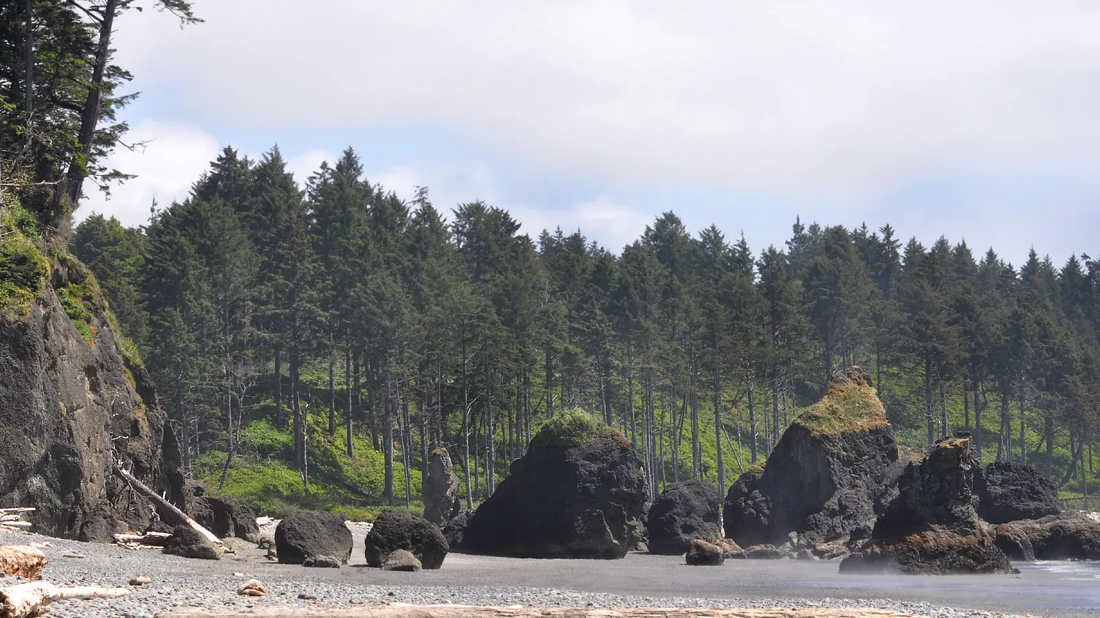
Plan Olympic National Park hiking by ecosystem, approach road, rain, tide, river state, permit, and the drive between coast, rainforest, and mountains.
Weather
Coast, rainforest, and alpine weather differ sharply. Rain, fog, wind, snow, tides, and river levels must be checked for the chosen ecosystem.
Plan the practical details
- Access
- No road crosses the mountain interior. Separate peninsula approaches serve Hurricane Ridge, rainforest valleys, lakes, and wilderness coast trailheads.
- Permits
- Day hikes generally need no wilderness permit. Wilderness nights and some popular areas require permits or reservations, while campgrounds use separate systems.
Olympic National Park hiking cannot be planned as one central park loop. Mountains, temperate rain forest, lakes, and the Pacific coast sit at the ends of separate entrance roads, and there is no road across the park's interior.
You should choose one ecosystem and one overnight base before choosing a trail. A day that tries to combine Hurricane Ridge, the Hoh Rain Forest, and a wilderness beach can spend more time on Highway 101 than on foot.
Distance between ecosystems is the first difficulty rating. The scores below describe how easily each area fits a single uncomplicated day, not the quality of the landscape.
Which Olympic National Park ecosystem should you hike?
About 95 percent of Olympic is wilderness, and the visitor roads enter valleys from the peninsula's edge before ending. Hurricane Ridge, Sol Duc, Hoh, Quinault, Staircase, and the coast therefore operate as separate hiking districts.
Hurricane Ridge serves subalpine meadows and mountain trails. Hoh and Quinault serve rain forest, Lake Crescent connects lake and mountain routes, and the coast adds tides, headlands, drift logs, and wilderness camping rules.
Hurricane Ridge
High meadows, broad views, snow, wind, limited services, and weather-sensitive road access.
Lake Crescent and Sol Duc
Lake, old forest, waterfalls, and trailheads spread along the north side of the peninsula.
Hoh Rain Forest
Short mossy loops and long river-valley wilderness routes, with heavy summer entrance waits.
Quinault and southwest forest
Rain forest valleys, waterfalls, and a quieter southern base with long drives to northern areas.
Pacific coast
Road-access beaches, foot-only wilderness shore, tides, headlands, surf, and bear-canister obligations.
Staircase
Southeastern forest and river hiking reached by a separate Lake Cushman approach.
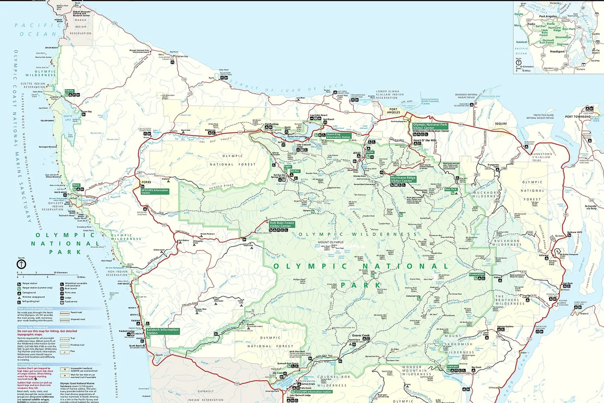
You can use Port Angeles or Lake Crescent for the north and mountain side, Forks for Hoh and the northern coast, and a southern base for Quinault or Staircase. The best base is the one that preserves the first useful hour for the chosen ecosystem.
How early should you arrive at Olympic trailheads?
Hurricane Ridge and the Hoh Rain Forest can fill completely on summer weekends and holidays. When parking is unavailable, vehicles may be held at the entrance until spaces open.
Arrive with a second route outside the same full queue. Waiting for one area can consume the time needed to drive legally to another district.
A one-ecosystem summer day
- Night beforeCheck road status, forecast, tide if relevant, and one same-area fallbackThe plan survives weak service and a full lot
- Early departureTravel directly to the chosen entrance roadThe useful hiking window is not spent crossing the peninsula
- Entry heldUse the named fallback rather than blocking the roadThe day changes before fatigue and frustration build
- ReturnLeave room for wildlife, construction, and slow Highway 101 trafficThe group reaches camp before darkness controls the drive
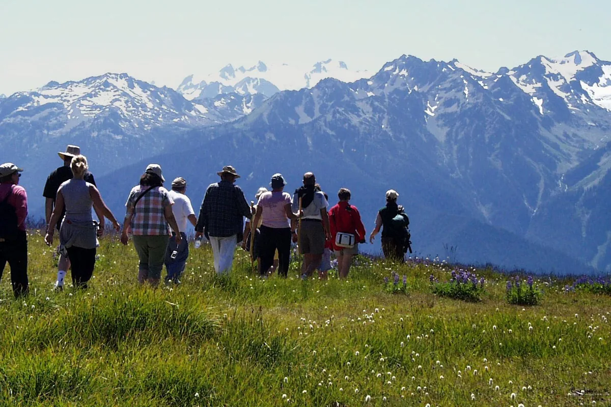
In 2026, Hurricane Ridge construction affects the main parking area and may reroute meadow trails. No potable water is available at Hurricane Ridge under the current temporary setup, so carry what the day requires from the lowlands.
Why are Olympic rainforest hikes slower than their mileage?
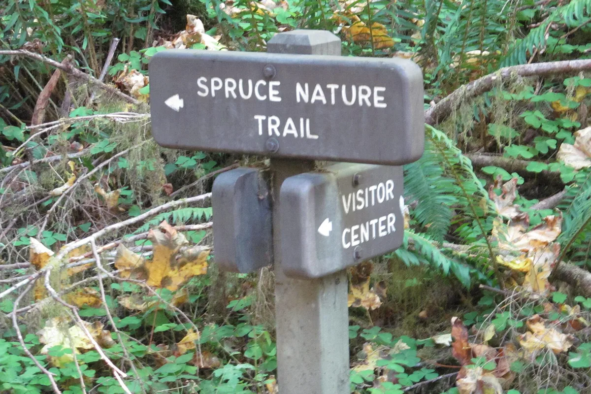
The Hall of Mosses and Spruce Nature Trail provide short signed loops near the Hoh visitor area. Longer routes follow the Hoh River toward mountain terrain and become wilderness trips rather than extensions of a visitor-center walk.
Rain keeps the forest alive and makes roots, boardwalk, bridges, and river edges slippery. Waterproof clothing controls exposure only when the group also protects insulation and maintains deliberate footing.
| Rain-forest route | What it shows | What changes the decision |
|---|---|---|
| Hall of Mosses | Compact old-growth and moss experience | Parking wait and crowded boardwalk |
| Spruce Nature Trail | River, forest, and a slightly longer loop | Mud, roots, and seasonal water |
| Hoh River Trail day hike | Deeper valley travel with flexible turnaround | Distance, river conditions, and return energy |
| Quinault forest routes | Southern rain forest and waterfall options | Base location and long drive from northern districts |
| Wilderness valley itinerary | Multi-day access toward interior mountains | Permit, campsite, food storage, river, and mileage |
Hiking in rain depends on staying warm as well as staying dry. If water reaches insulating layers or the group cannot keep a steady pace, shorten the route before a long cool return.
When is Hurricane Ridge open and snow-free?
Hurricane Ridge sits about 17 miles above Port Angeles by road and reaches a very different weather zone. Snow can linger into summer, while cloud and wind can remove views or make exposed meadow travel uncomfortable.
Obstruction Point Road branches beyond the main area and normally has a narrower seasonal window. It is not suitable for RVs, trailers, or buses, and current road status must decide whether its trailheads exist for the day.
- 5,200 feetHurricane Ridge developed-area elevationWeather differs sharply from Port Angeles
- 17 milesRoad distance from Port AngelesA closure is discovered before starting the climb
- 1.5 milesHurricane Hill Road beyond the main parking areaNot suitable for RVs or buses
- No potable water2026 Hurricane Ridge conditionCarry the full day supply from below
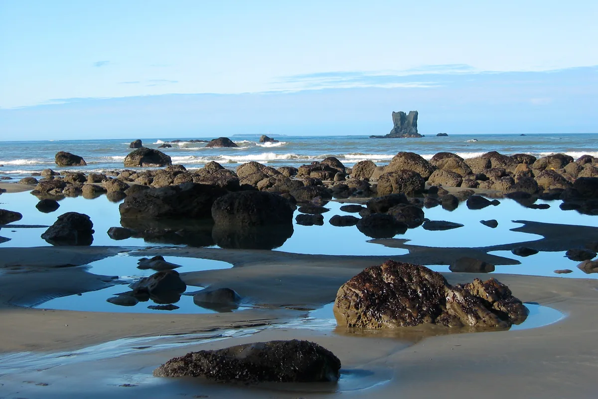
An early mountain start protects the weather window. It does not justify continuing into whiteout, unstable snow, or thunder above shelter.
How do tides affect Olympic coastal hiking?
Olympic protects more than 70 miles of wild coastline. Road access reaches places such as Rialto and Kalaloch, while much of the shore requires hiking over sand, cobble, boulders, drift logs, and headland routes.
Low tide opens walking space and tide pools. Rising water can remove the beach at a headland or force the route against unstable logs and cliffs.
- Read the official tide table for the correct beach and date
- Mark every headland and required low-tide passage on the route
- Set a turnaround that clears the final passage before water rises
- Keep distance from drift logs whenever waves can move them
- Use overland headland routes only when they are open and within the group's ability
- Carry a topographic map because the shoreline does not stay equally walkable
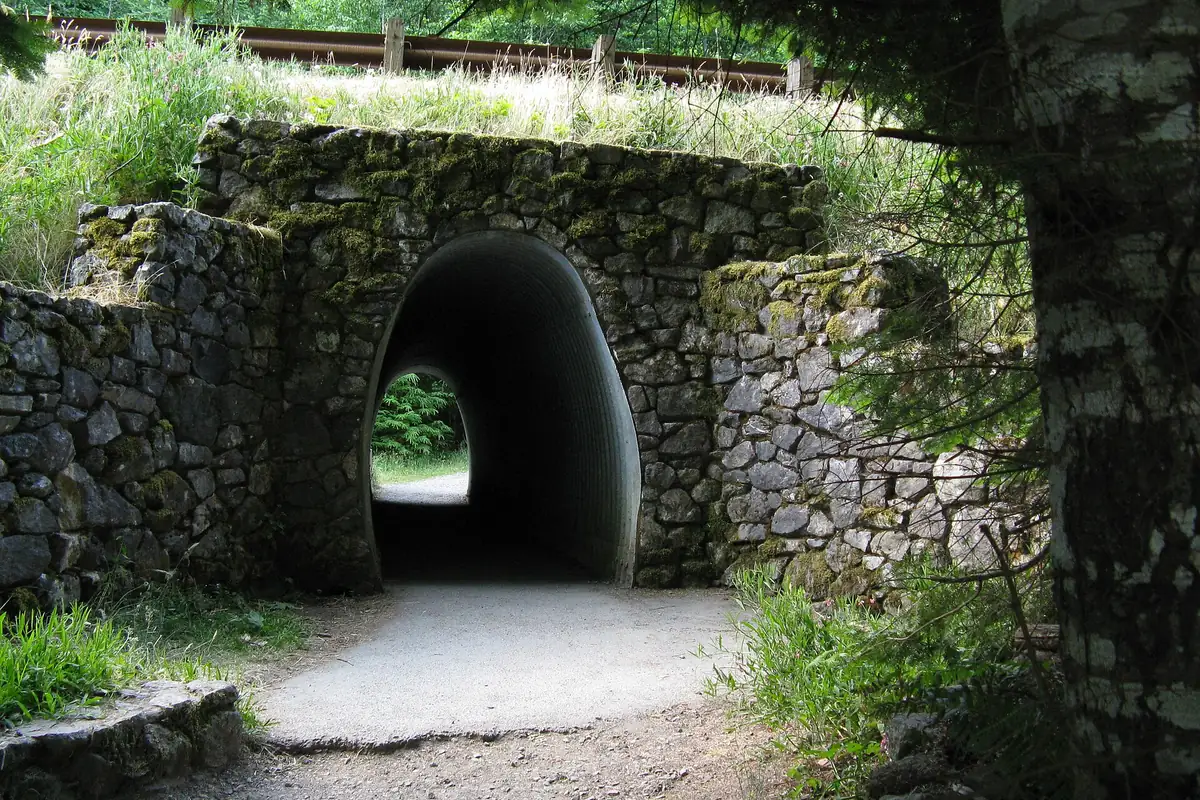
You should never camp or rest where the rising tide can reach. Large logs can move in surf and pin a person who could easily step over them on a calm dry beach.
Cold Pacific water makes an accidental entry dangerous throughout the year. A missed headland window should trigger retreat or waiting in a known safe place, not an attempt to swim around rock.
Do you need a wilderness permit in Olympic National Park?
All Olympic wilderness camping permits must be obtained in advance. Trailhead self-issue is not available, and current reservations use Recreation.gov or the Wilderness Information Center process.
Some destinations use quotas, and coastal areas can require approved bear canisters because trees or terrain do not support safe hanging. The permit and food-storage method must match the exact itinerary.
- Day hiking
- No wilderness camping permit
- Wilderness night
- Advance permit required
- Trailhead permits
- Not available
- Quota areas
- Reservation capacity limits selected popular routes
- Coastal food storage
- Approved bear canister required in designated areas
- Campground reservation
- Separate from a wilderness backpacking permit
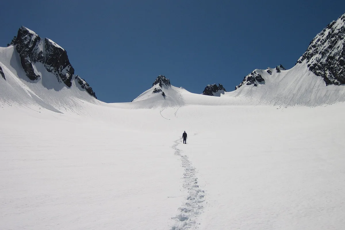
You should keep an alternate itinerary researched before permit selection. An available site is not useful when the group has not checked its tide passage, river crossing, snow level, or daily mileage.
When is the best time to hike Olympic National Park?
July through September offers the broadest mountain access and the driest average weather, but it also concentrates traffic at Hurricane Ridge and Hoh. The coast and rain forests remain meaningful in wetter seasons when storms, road conditions, and short daylight receive more conservative plans.
Spring brings high rivers, snow in the mountains, and fresh forest growth. Autumn reduces crowds while storms strengthen and services close on different calendars.
| Season | Strongest fit | Main tradeoff | Practical adjustment |
|---|---|---|---|
| Spring | Rain forest, waterfalls, and lower lake routes | High water, mountain snow, rain, and partial roads | Stay low and verify bridges and roads |
| Summer | Mountains, coast, forest, and broad campground operation | Full lots, entrance waits, heat on exposed trails, and limited sites | Choose one ecosystem and start early |
| Fall | Forest, coast between storms, and cooler lower routes | Short daylight, rain, wind, and closing facilities | Keep a compact route and weather fallback |
| Winter | Storm watching, low forest, and conditional snow recreation | Road closures, surf, avalanche terrain, and cold rain | Use current road and coastal warnings as route gates |
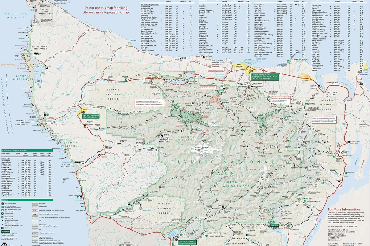
The best time is ecosystem-specific. A clear coast forecast does not prove Hurricane Ridge Road is open, and a mild Port Angeles morning does not predict safe mountain snow.
Where should you stay for an early Olympic hike?
Olympic's frontcountry campgrounds are distributed around the peninsula rather than concentrated in one center. Heart O' the Hills serves Hurricane Ridge, Fairholme sits near Lake Crescent, Hoh supports the rain-forest valley, Mora serves Rialto and the north coast, and Kalaloch provides southern coastal access.
In summer, Kalaloch, Hoh, Mora, Fairholme, and Staircase accept reservations under the current park system. Other campgrounds can use first-come processes, and operating dates differ by location.
Heart O' the Hills
Mountain access below Hurricane Ridge with a short drive from Port Angeles.
Fairholme
Lake Crescent base for lake, waterfall, and north-side mountain routes.
Hoh
Rain-forest base that avoids repeating the entrance-road queue each morning.
Mora
Northern coastal base near Rialto Beach and the Quillayute River area.
Kalaloch
Southern coast base for beaches and forest walks along Highway 101.
Staircase
Southeastern forest base reached through the separate Lake Cushman approach.
A campground reservation does not replace the park entrance pass or wilderness permit. It also does not guarantee entry to a full Hoh or Hurricane Ridge parking area later in the day.
You should carry supplies that match the campground's current services. Water, dump stations, ranger staffing, and fire rules change by season, and weak cell service makes arrival a poor time to discover a missing reservation.
When the preferred campground is full, choose legal lodging or another campground near the same ecosystem. Moving to the opposite side of the peninsula can erase the route advantage that made the trip workable.
Coastal campgrounds still require a tide and storm plan for beach days. Rain-forest campgrounds still require food storage, rain protection, and a bridge check for longer routes.
Before bed, confirm the next morning's weakest access point. A road closure, surf warning, or snow change can make a close trailhead unusable overnight.
You should keep one short route near camp that does not depend on the main attraction. It provides a complete morning when a queue, storm, or road control removes the original hike.
The peninsula's weather can isolate campground areas differently. A tree across one entrance road or surf warning on the coast does not necessarily affect a lake walk, but reaching that alternative may still require returning to Highway 101.
You should keep the vehicle fueled before entering a long valley road. Services inside the park are limited and seasonal, while detours can add many miles around the mountain interior.
Food storage rules vary with the campsite and wilderness zone, but every plan should prevent animals from receiving a reward. Secure food, rubbish, toiletries, cookware, and coolers whenever they are not under immediate control.
Cool coastal nights and saturated forest air can wet sleeping insulation through condensation. Ventilate the shelter, keep dry layers protected, and avoid packing a damp sleeping system into the next cold night without a drying opportunity.
Campfire availability depends on site, season, and current restrictions. Build the evening around a stove and warm clothing rather than assuming a fire will be legal or useful in rain.
An early checkout should not create a storage problem. Secure food and valuables while hiking, and leave the site according to campground rules before moving the vehicle to a separate trailhead.
If the next route uses a ferry, tide window, or reserved wilderness site, protect that departure from a long morning drive. The base should reduce the number of time-sensitive connections rather than add another one.
You should keep rain gear and one dry insulating layer available in the vehicle after checkout. A delayed group returning from the coast or forest should not need to unpack every bag beside a wet road.
Roadside pullouts are not overnight sites. When a campground closes or fills, move to legal lodging or camping outside the park under that land manager's rules.
An outside contact needs the campground and the hiking route because those locations may be hours apart. Update the contact whenever the group moves to another ecosystem or changes the overdue time.
Before leaving the peninsula, clean mud and plant material from footwear and equipment. That simple step reduces the chance of transporting seeds or organisms between distinct park ecosystems.
Keep separate bags for wet coastal equipment and dry sleeping insulation. Salt water and sand can damage zippers, stove parts, cameras, and the clothing needed in cold rain.
Port Angeles is a practical base for Hurricane Ridge and the north side, while Forks reduces the drive to the Hoh, Sol Duc, and much of the wilderness coast. Neither is central to every ecosystem, so moving lodging once can preserve more trail time than repeating the peninsula drive on several mornings.
Lake Crescent and the Elwha corridor can bridge a north-side itinerary without pretending to be rainforest or coast substitutes. They work best when their own road, trail, and weather conditions fit the day, not as boxes added between two distant headline stops.
The coast requires a more precise overdue note than a normal trail. Record the beach access, direction of travel, named headland or camp, tide window, and planned exit because two parties on the same beach can be separated by an impassable point at high water.
For a rainforest or river valley, record the road end and drainage. The park contains several valleys that look similar in a short message, and a road closure can leave a vehicle far from the place an outside contact assumes.
A ferry can shorten part of the regional drive without shrinking the peninsula itself. Boarding queues, sailing schedules, and the final road to the trailhead still belong in the morning plan, especially when a tide window or wilderness check-in cannot move.
The return deserves the same calculation. A late beach exit may miss a ferry or add a long drive around Puget Sound, so the group should protect enough food, alertness, and fuel for the route that remains after the hike.
You should choose the fallback inside the same ecosystem when possible. A closed Hurricane Ridge road can justify a lower north-side trail, while an unsafe tide requires a coast plan that stays landward rather than a rushed transfer to another remote beach.
This approach preserves the reason for the day while removing the failed access or hazard. It also gives the outside contact one understandable region to monitor instead of several distant possibilities.
You should save each road-status page, tide table, permit, and campground confirmation before leaving reliable service, since the peninsula's long approaches make a missing detail expensive to recover at the trailhead.
Sources
Park geography, separate entrance roads, congestion, and ecosystem planning came from the National Park Service Visiting in Summer, Directions and Transportation, and Trip Ideas pages.
Hurricane Ridge details came from the current Visiting Hurricane Ridge and Alerts and Conditions pages. Coast and permit rules came from Hiking the Wilderness Coast and the current wilderness reservation guidance, checked August 24, 2026.
RespectHazards to plan for
- tides
- cold rain
- river crossings
- snow
- road closures
- falling trees