
Absaroka Range Hiking by Gateway and Land Manager
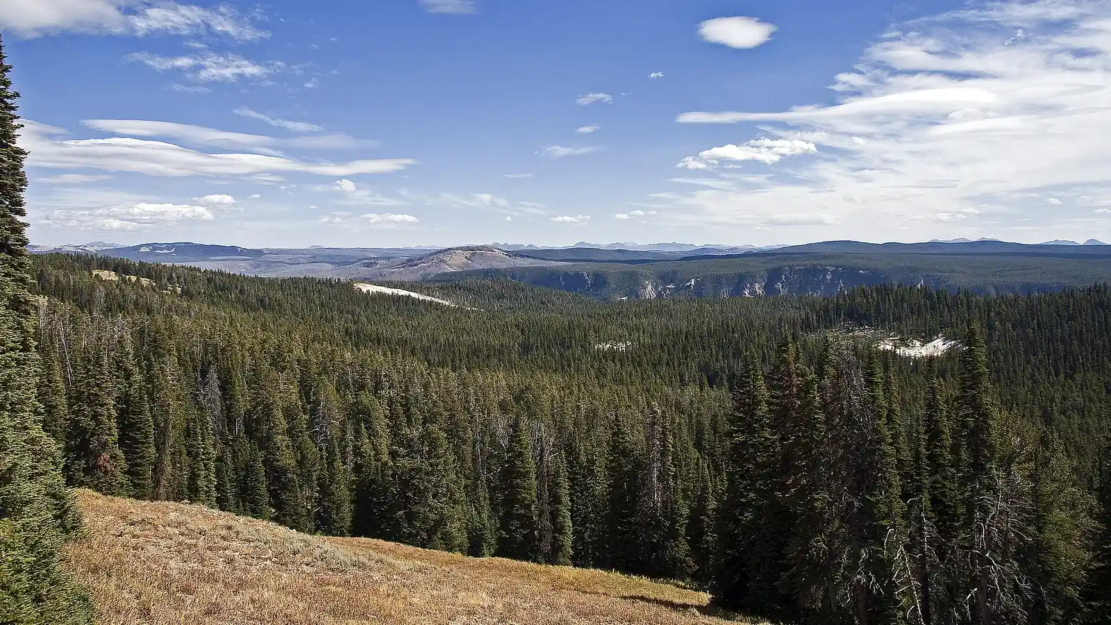
Plan Absaroka Range hiking by gateway, land manager, volcanic terrain, road access, altitude, bear habitat, snow cycle, and map scale.
Weather
Valley heat, high snow, altitude, lightning, stream flow, wildfire, and smoke vary by gateway and elevation. Seasonal roads can close before high terrain changes.
Plan the practical details
- Access
- The range extends about 165 miles across several park, forest, and wilderness systems. Each gateway has different roads, services, alerts, and emergency contacts.
- Permits
- There is no single range permit. Yellowstone, Custer Gallatin, Shoshone, developed campgrounds, and designated wilderness areas each apply their own current rules.
Absaroka Range hiking is a region-selection problem before it is a trail-selection problem. The volcanic range runs roughly 165 miles from near Livingston, Montana, toward Dubois, Wyoming, forming much of Yellowstone's eastern boundary and containing several different public-land systems.
You should choose a gateway and land manager first. Northern Montana day hikes, Yellowstone routes, Shoshone National Forest valleys, and designated wilderness trips can share the Absaroka name while using different roads, rules, elevations, and emergency contacts.
The range is larger than one wilderness. Absaroka-Beartooth Wilderness covers an important northern portion, but the broader Absarokas continue through Yellowstone and Wyoming.
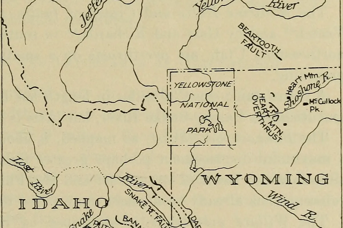
The modern Absaroka Mountains preserve remnants of a much larger volcanic field, now cut into rugged peaks, ridges, and deep drainages.
U.S. Geological Survey
Which Absaroka Range are you planning to hike?
The northern end rises near Livingston and Paradise Valley, while the range continues along Yellowstone's east side and into Wyoming. A search result for one gateway can be hundreds of road miles from a trail with the same regional label.
Public access may begin in Custer Gallatin National Forest, Yellowstone National Park, or Shoshone National Forest. The route can also enter the Absaroka-Beartooth, North Absaroka, Washakie, or Teton wilderness systems, each with its own current orders and trailhead information.
Livingston and Paradise Valley
Northern approaches, lower foothill starts, nearby national forest access, and long valleys toward high wilderness.
Yellowstone east and northeast
Park rules, wildlife concentrations, thermal-area boundaries, and high plateau weather.
Cody and Wapiti Valley
Shoshone National Forest access into rugged eastern Absaroka drainages and grizzly habitat.
Dubois side
Southern Absaroka approaches, long forest roads, broad elevation range, and remote trailheads.
Beartooth junction
A northern transition where granite Beartooth terrain differs from the volcanic Absarokas.
You should name the ranger district and road rather than writing only “Absaroka Range†in a trip note. The regional name is too broad to guide a useful response when a group is overdue.
Why is Absaroka volcanic terrain so steep and broken?
The Absarokas formed from several ancient volcanic centers, lava flows, solidified magma, and sedimentary deposits. Erosion by water, ice, and weather then carved deep drainages and sharp ridges rather than the broad caldera terrain associated with central Yellowstone.
USGS describes 123 peaks above 11,500 feet and 47 above 12,000 feet in the range. Those numbers explain why a valley approach can hide substantial relief even when the summit is not the objective.
- About 165 miApproximate north-to-south lengthGateway choice changes the entire road plan
- About 60 miBroad regional width cited by USGSEast-west crossings are limited and slow
- 123 peaksPeaks above 11,500 feetHigh elevation is a regional condition, not one summit feature
- 47 peaksPeaks above 12,000 feetSnow, wind, and altitude remain relevant well into summer
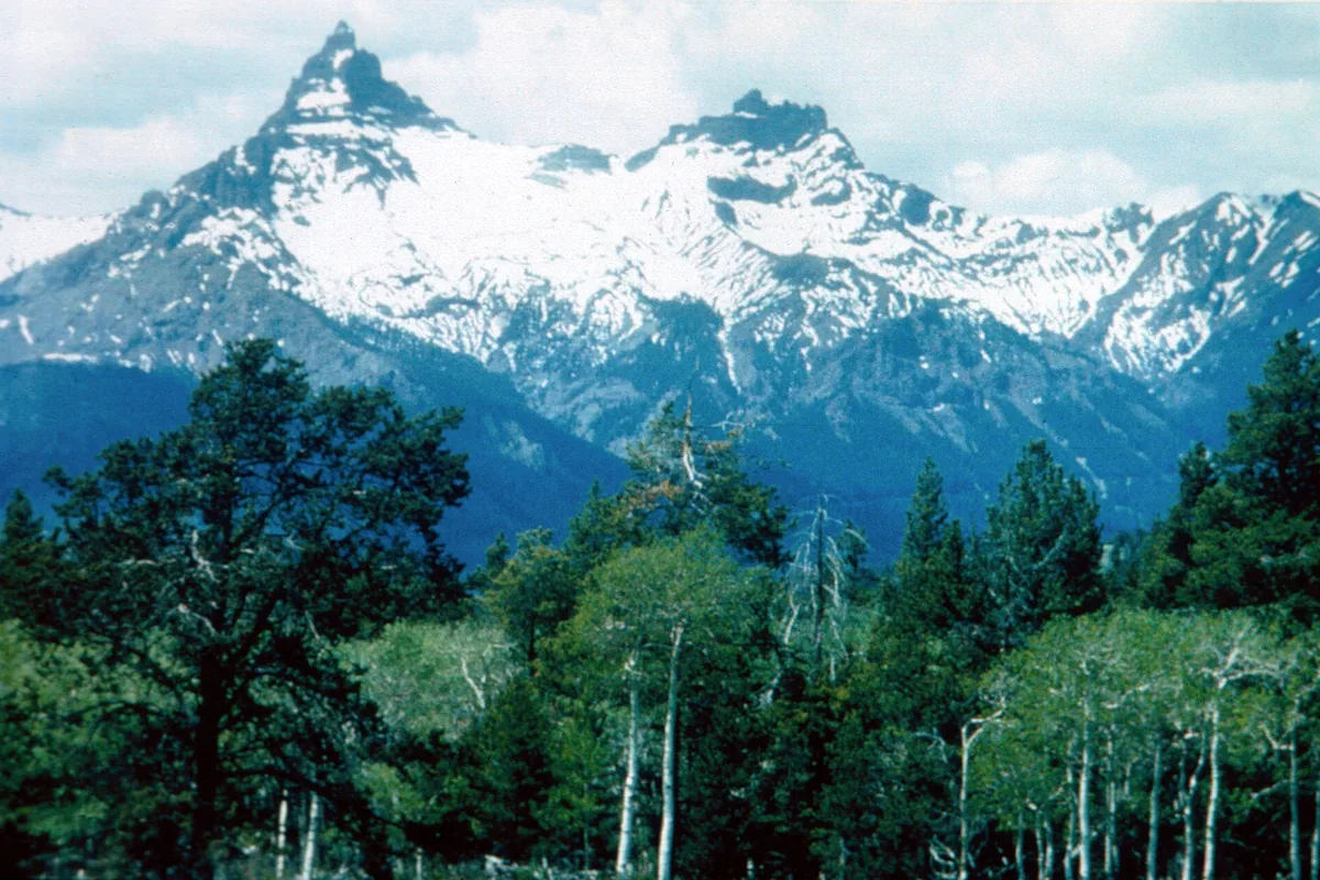
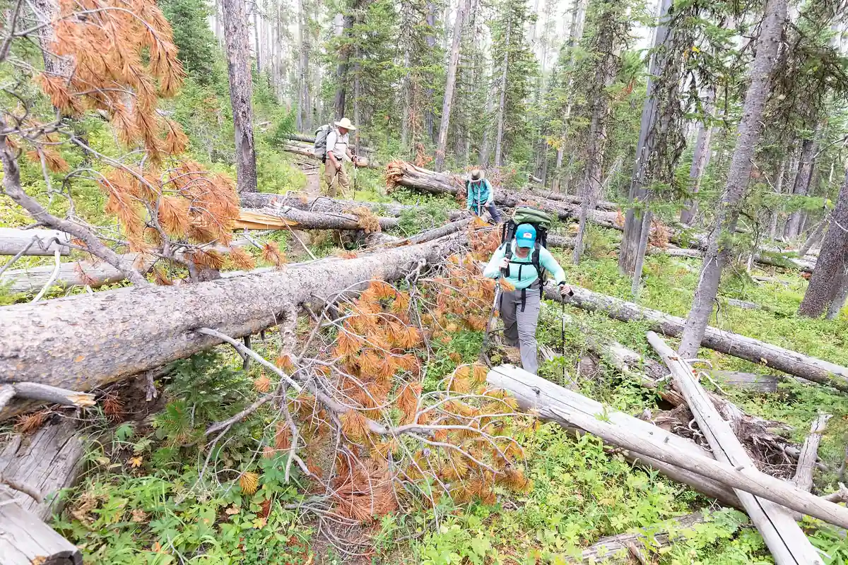
Loose rock and steep side slopes can make cross-country shortcuts much harder than the contour spacing appears. Stay on maintained routes unless the group has the navigation and terrain skills for an intentional off-trail objective where travel is allowed.
Which Absaroka gateway fits the hiking you want?
A first Absaroka hike does not need to be a remote summit. Lower forest routes, developed Yellowstone trails, and shorter national forest approaches can reveal the range without committing to a multi-day wilderness exit.
Gateway selection should combine route character with road reliability and nearby services. Cody and Livingston provide very different approach valleys, while Cooke City access depends heavily on seasonal roads and current Yellowstone connections.
| Reader goal | Strong starting area | Why it fits |
|---|---|---|
| Short maintained hike | A developed national forest or Yellowstone trail | Clearer access and a defined turnaround |
| Volcanic landscape study | Yellowstone east side or a mapped Shoshone route | Exposed geology and official interpretation |
| Long forest valley | Wapiti, Greybull, Boulder, or similar named drainage | A route follows one water system into higher terrain |
| High wilderness traverse | A designated wilderness corridor with confirmed exits | The transport and regulation problem is explicit |
| Wildlife-focused walk | An open habitat route with current closures checked | Visibility helps maintain distance |
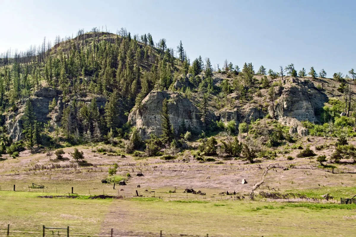
You should not choose the trail only because it is closest to lodging. A longer drive to the correct route family can be safer than forcing an exposed or remote objective onto an inexperienced group.
Why does elevation gain matter more than summit height?
Many approaches start in valleys and climb for miles before reaching open terrain. The cumulative gain, starting altitude, pack weight, and time above treeline determine the physiological cost more accurately than the highest number on the map.
People arriving from low elevation should use a lower or shorter first day. Headache, nausea, unusual fatigue, poor coordination, or worsening symptoms require attention and may require descent rather than a slower push upward.
- Record the trailhead elevation and the route's high point
- Estimate cumulative gain rather than subtracting only two elevations
- Keep the first high day shorter after a low-elevation arrival
- Set a turnaround before afternoon storms and fatigue converge
- Descend when altitude symptoms worsen or coordination changes
- Reassess the next sleeping elevation after a difficult day
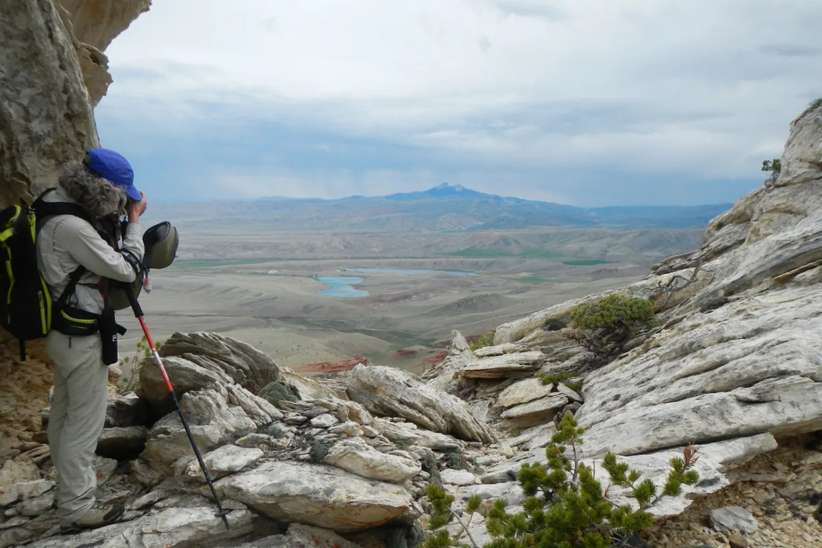
The embedded altitude planner at the end of this profile checks sleeping elevations, not personal fitness. Symptoms and current medical guidance override any schedule that looks reasonable on paper.
Where does grizzly habitat affect an Absaroka hike?
The Absarokas sit within the Greater Yellowstone ecosystem, and both grizzly and black bears use national park, national forest, and wilderness terrain. Crossing a boundary does not end bear habitat, though storage orders and campsite procedures can change.
You should carry bear spray accessibly, make noise where visibility is limited, avoid carcasses, and store attractants under the current rule for the exact unit. A normal cooler or food bag is not automatically compliant.
- Check the managing unit's current food-storage order
- Carry bear spray on the body and know how to remove the safety clip
- Keep the group together near dense vegetation and noisy streams
- Leave any carcass or concentrated feeding sign by the approach route
- Separate cooking and sleeping areas on overnight trips
- Maintain the required wildlife distance even when an animal occupies the trail
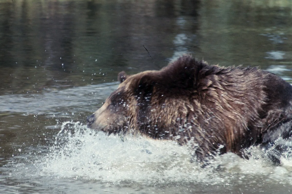
You should ask the local ranger office about recent bear activity when route choice remains flexible. A drainage closure or carcass report can make another valley the better decision without changing the whole trip.
When do water, snow, and storms change the same route?
Winter snow controls both early-season trail cover and spring stream volume. As the high country melts out, crossings may become harder before passes become easier.
Summer heating then increases afternoon thunderstorm risk on open ridges. Wildfire and smoke can reduce visibility or close an approach later in the same season.
The mountain water cycle
- SnowpackCovers high trails, hides tread, and stores the water that later feeds crossings.
- SnowmeltRaises creeks, saturates trails, and exposes unstable edges.
- Summer dryingOpens passes while increasing sun, heat, and fire susceptibility.
- ThunderstormBrings lightning, hail, cold rain, and short-lived runoff surges.
- Autumn freezeShortens daylight and returns ice before every road closes.
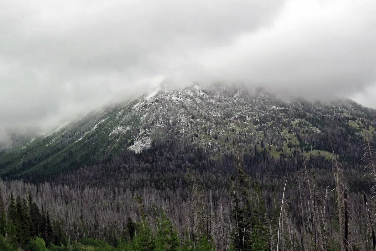
You should check both the highest pass and the largest crossing. A route is not open for the group when either point exceeds its navigation, traction, or water margin.
Do you need a permit to hike or camp in the Absarokas?
There is no single Absaroka Range permit. Yellowstone backcountry nights require park permits and designated campsites, while national forest routes may use different permit, fire, food-storage, group-size, or camping-distance rules.
Designated wilderness prohibits mechanized equipment and adds place-specific restrictions. Developed campgrounds, dispersed national forest sites, and wilderness camps are separate options, and one reservation never authorizes the others.
- Yellowstone National Park
- Park entry, backcountry permit, designated sites, and park wildlife rules
- Custer Gallatin National Forest
- District alerts, forest orders, and wilderness rules where applicable
- Shoshone National Forest
- District access, grizzly food-storage orders, and named wilderness guidance
- Developed campground
- Reservation or fee under that campground's system
- Wilderness camp
- Durable site, current setbacks, fire rules, and nonmechanized travel
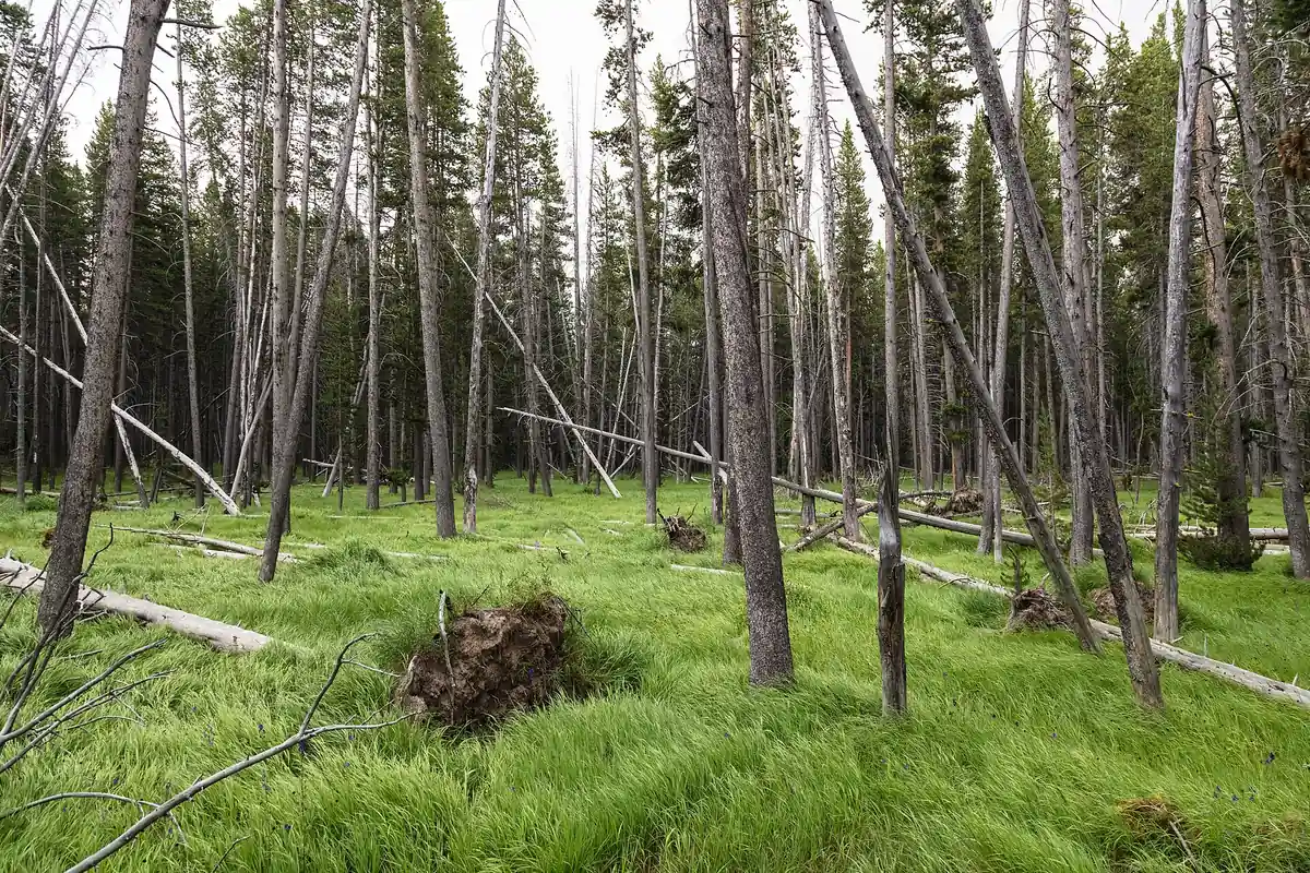
Save the current order and map offline before leaving service. When the route crosses a boundary, carry the rules for both sides rather than assuming the stricter-looking sign applies everywhere.
Where should an Absaroka fallback route go?
A regional plan has more strong alternatives than a single wilderness itinerary, but only if they are chosen in advance. A high pass under snow can become a lower valley trail, while a closed forest road can shift the day to a different named gateway with verified access.
The fallback should not repeat the failed road, elevation, crossing, or storm exposure. Keep it close enough that the drive does not consume the remaining safe window.
Leave an outside contact the named forest or park, ranger district, trailhead, vehicle, route, camp, turnaround, and overdue time. A regional descriptor alone covers too much ground to start a useful response.
Which roads make each side of the Absarokas practical?
The Absarokas do not have a continuous scenic road along every foot of the range. Major valleys approach from different highways, while forest roads narrow, roughen, close seasonally, or end many miles before the high terrain.
You should check a motor-vehicle-use map and current forest alerts for the exact road. A line shown on a general mapping app may be private, closed, unsuitable for the vehicle, or outside the season when public motor access is allowed.
You should fuel before leaving the gateway town. Long approaches, detours, wildlife traffic, and a return to the wrong side of the range can consume more fuel than the hiking mileage suggests.
High-clearance recommendations should be taken literally. Turning a low-clearance vehicle around before a rough section is stronger than continuing until road damage or a blocked turnaround traps it.
You should park without blocking gates, stock trailers, or emergency access. At remote trailheads, remove visible valuables and leave nothing scented in the vehicle where bear guidance requires different storage.
A rough approach road can consume the time reserved for hiking even when the trail itself remains open. You should set a vehicle turnaround point before the surface worsens, then know whether stopping there still leaves a legal and realistic walking route.
This separates access failure from trail failure. The group can abandon a damaging drive without improvising a cross-country shortcut or starting a route whose return now extends past daylight.
How can you combine Absaroka terrain without repeating hazards?
A multi-day visit works best when route commitment rises gradually. Begin with a maintained lower route, move to a longer high day after checking how the group handles elevation, then reserve a wilderness night only when weather and access remain stable.
This progression is not a requirement to reach a summit. Its purpose is to reveal pacing, altitude response, footwear problems, and navigation gaps while an easy retreat still exists.
Use different terrain on consecutive days. Two exposed ridge days repeat lightning and wind risk, while a forest valley after a high day allows recovery without wasting the location.
The overnight base should support the next gateway rather than the previous achievement. Moving lodging may be worthwhile when it removes a two-hour morning transfer and puts fuel, food, and the ranger office on the correct side.
Keep one full weather day uncommitted on a longer trip. That margin allows a high objective to move without forcing it into the only storm window.
Regional flexibility still needs a firm decision time. If the chosen drainage remains snowbound, the replacement should be selected before the group drives beyond the last practical junction and loses the option to change valleys.
A lower route also needs its own hazard check because moving downhill may trade snow for swollen water, dense bear habitat, or a longer forest-road approach. The useful comparison is the whole return plan rather than elevation alone.
Is there cell service in the Absaroka Range?
Cell service can disappear soon after leaving a gateway road. Download maps, alerts, permits, and contact information before the approach, then test any satellite device under open sky.
A satellite message should name the trailhead, drainage, direction of travel, and condition of the group. “In the Absarokas†leaves an enormous search area across several agencies.
Set a routine check-in only where the group can realistically send it. Missing a casual message should not trigger an emergency unless the outside contact understands the difference between a routine update and the overdue time.
When the route crosses a boundary, note which agency should receive a conditions report or rescue call. The nearest ranger station on a map may not manage the land where the incident occurred.
Which map scale do you need for an Absaroka route?
A regional highway map helps choose a gateway but cannot show contour spacing, trail junctions, cliffs, or stream crossings. A recreation map adds routes, yet a detailed topographic sheet is still needed for a remote drainage or cross-country objective.
Compare the publication date and boundary information before relying on a paper map. Roads, land ownership, closures, and trail maintenance can change while the mountain shape stays the same.
Measure distance along the trail rather than across a straight regional line. Deep side valleys force long climbs around terrain that looks close when viewed from the opposite ridge.
Contour lines also expose hidden cumulative gain. A route that repeatedly crosses spurs can climb far more than the difference between trailhead and summit elevations.
Keep the map accessible during travel and orient it at every major junction. Finding the map after the group is uncertain is slower than confirming the route while the last landmark remains obvious.
Mark the road exit as carefully as the summit. In a long volcanic valley, reaching the correct trailhead before dark can matter more than touching the highest planned point.
Sources
Range length, width, elevation distribution, and volcanic origin came from the U.S. Geological Survey feature The other volcanic range in the Yellowstone region: The Absarokas. Land-unit and bear-country context came from Shoshone and Custer Gallatin national forest visitor guidance.
Yellowstone-specific hiking and backcountry rules were checked through National Park Service planning pages. Information was verified August 24, 2026 and must be rechecked with the named land manager before travel.
RespectHazards to plan for
- altitude illness
- grizzly bears
- lightning
- snowmelt crossings
- rough roads
- navigation