
Rocky Mountain National Park Hiking by Entry and Elevation
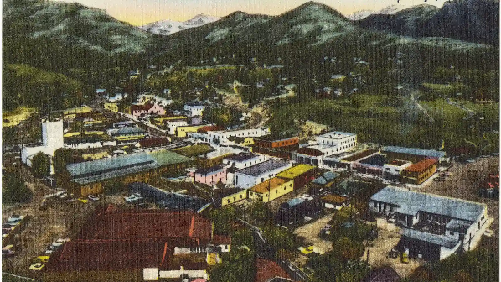
Plan Rocky Mountain National Park hiking by timed-entry product, access corridor, altitude progression, treeline deadline, shuttle, and wilderness permit.
Weather
High elevation brings cold, wind, snow, intense sun, rapid storms, and frequent summer lightning. Trail Ridge Road can close at any time for weather.
Plan the practical details
- Access
- Bear Lake Road, Trail Ridge Road, Wild Basin, and the west side use different entrances and transport. Two timed-entry products apply during the 2026 season.
- Permits
- Timed entry controls corridor access during published hours. Wilderness camping requires a separate permit, and neither product guarantees parking.
Rocky Mountain National Park hiking begins with an access choice that has two clocks.
In 2026, the Bear Lake Road Corridor and the rest of the park use different timed-entry windows, and a shuttle reservation does not substitute for permission to drive through an entrance station.
You should choose the corridor, entry method, and elevation before choosing the trail. That sequence prevents a Bear Lake objective, a Trail Ridge drive, and a west-side hike from being treated as interchangeable stops.
Reserve the access you will actually use.
- Decide whether the hike starts inside Bear Lake Road
- Choose private vehicle or the Estes Park Hiker Shuttle
- Reserve the correct timed-entry product for the entry window
- Confirm the park entrance pass separately
- Check road, trail, snow, and fire status the day before
- Save the shuttle return and a lower-elevation fallback offline
Which 2026 Rocky Mountain timed entry permit do you need?
From May 22 through October 12, 2026, the general Timed Entry reservation is required for vehicle entry between 9 a.m. and 2 p.m. It covers most of Rocky Mountain National Park but excludes the Bear Lake Road Corridor.
Timed Entry + Bear Lake Road covers that corridor and the rest of the park. Its managed vehicle-entry window runs from 5 a.m. to 6 p.m. through October 18 under the 2026 schedule.
| Access product | Managed entry window | Areas reached | What remains separate |
|---|---|---|---|
| Timed Entry | 9 a.m. to 2 p.m. | Trail Ridge Road, west side, Wild Basin, Longs Peak, Lumpy Ridge, and other non-Bear-Lake areas | Entrance pass and Bear Lake Road access |
| Timed Entry + Bear Lake Road | 5 a.m. to 6 p.m. | Bear Lake corridor plus the rest of the park | Entrance pass and parking availability |
| Hiker Shuttle ticket | Reserved departure from Estes Park | Ride to Park and Ride inside Bear Lake Road | Permission to drive a private vehicle through park entry |
| Outside managed hours | No timed-entry reservation for that entry | Area allowed by road and seasonal status | Entrance pass, parking, weather, and closures |
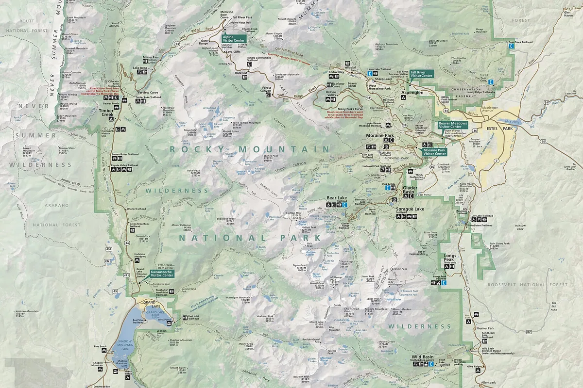
Reservations provide a two-hour arrival window and do not set a departure time. They also do not reserve a trailhead space, so a Bear Lake booking still needs a shuttle or parking strategy.
Additional reservations are released at 7 p.m. Mountain Time on the night before the desired date. They can sell quickly and should be a fallback opportunity rather than the only plan.
How does the Bear Lake Road shuttle work for hikers?
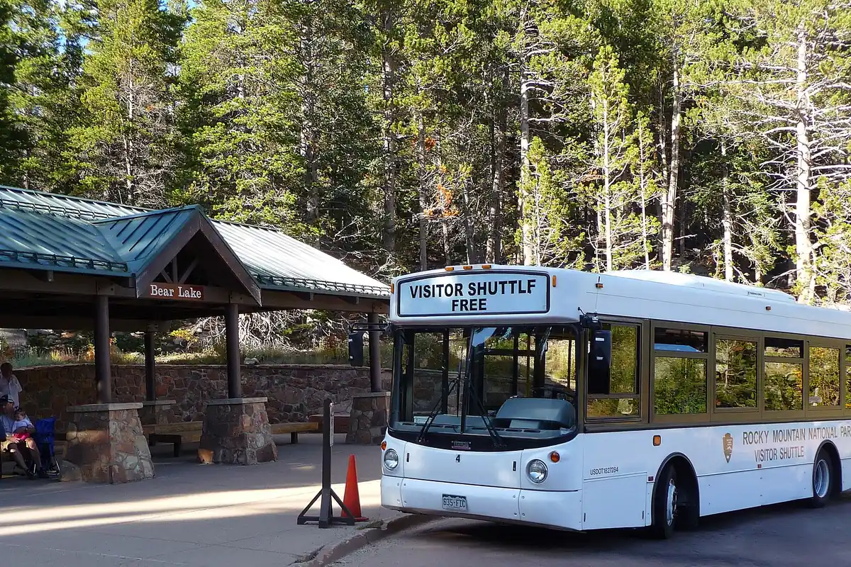
Bear Lake Road concentrates several of the park's most popular trailheads, including Bierstadt Lake, Glacier Gorge, Bear Lake, and Moraine Park. Free internal shuttles reduce the need to compete for each small lot.
The Bear Lake shuttle runs frequently between Park and Ride and the upper stops during its operating season. Moraine Park service is less frequent, which makes the last practical connection an important route boundary.
A shuttle-supported Bear Lake day
- Before travelReserve the right entry or Hiker Shuttle productVehicle and passenger access are not confused
- At Park and RideConfirm the last return serving the intended trailheadThe turnaround protects transit as well as daylight
- Trail delayShorten the route before the last useful connectionA slow group avoids an unplanned road walk
- Return stopJoin the correct line with every group member presentPacks and people arrive back at the same vehicle
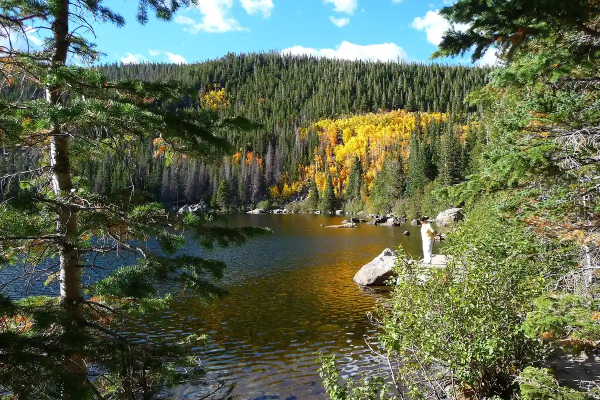
The Hiker Shuttle carries reserved passengers from Estes Park Visitor Center to Park and Ride. It does not visit other park destinations, and its ticket does not authorize private-vehicle entry.
No park shuttle crosses Trail Ridge Road or serves the west side. A west-side hike needs its own vehicle, parking, and return plan.
How does altitude affect hiking in Rocky Mountain National Park?
Park approaches near Estes Park already begin around 7,500 feet, while Trail Ridge Road rises above 12,000 feet. Visitors arriving from low elevation may breathe harder, sleep poorly, or move more slowly before developing a clear illness.
You should keep the first high day shorter than the itinerary's hardest objective. Eating, drinking, and sleeping at a moderate elevation does not guarantee acclimatization, but it gives the body a less demanding start.
- 7,500 feetApproximate elevation of nearby gateway areasMany visitors start high before hiking
- 12,000 feet plusHighest Trail Ridge Road terrainCold, wind, lightning, and altitude combine
- 10,000 feetSleeping-gain guidance becomes especially relevantOvernight itineraries need deliberate elevation steps
- Early symptomsHeadache, nausea, dizziness, unusual fatigueStop ascent and reassess before continuing
Altitude sickness should be treated as a reason to stop going higher. Worsening symptoms, confusion, loss of coordination, or breathing difficulty at rest require descent and urgent help.
Fitness does not prevent altitude illness. A strong lowland runner can still respond poorly to rapid ascent.
When does lightning make you leave the treeline?
Lightning is common from June through September, and exposed tundra leaves a hiker as one of the tallest objects in the area. High routes should begin early enough to descend below treeline before storms build.
If thunder is audible, move toward a hard-top vehicle, substantial building, or lower forest without waiting for rain. An open overlook, isolated tree, summit, or exposed parking area is not a safe place to watch the storm.
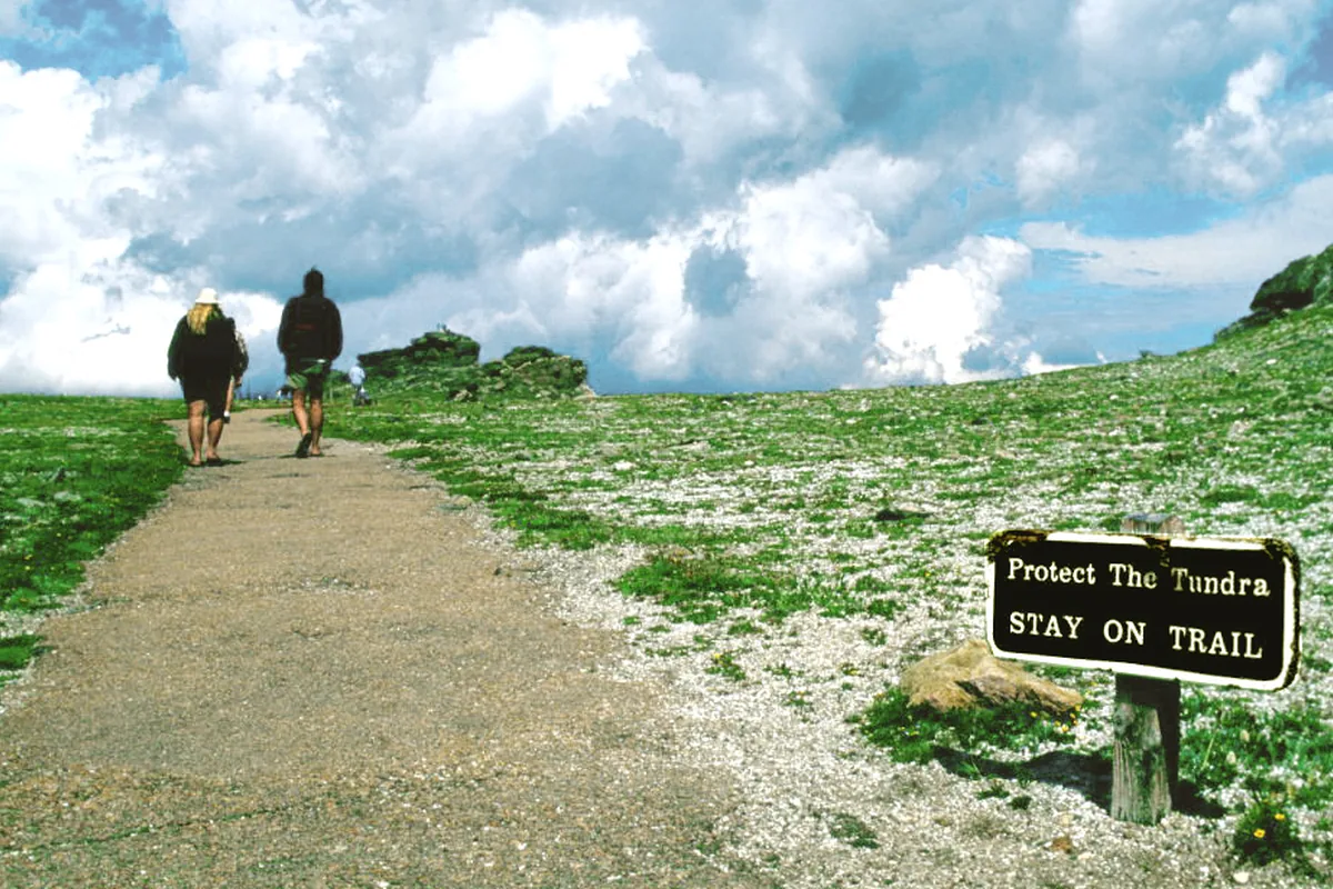
Build the turnaround from the time required to reach lower cover, not only the summit. A dark cloud over another valley can cross the ridge before it rains at the trailhead.
Is Trail Ridge Road part of your altitude plan?
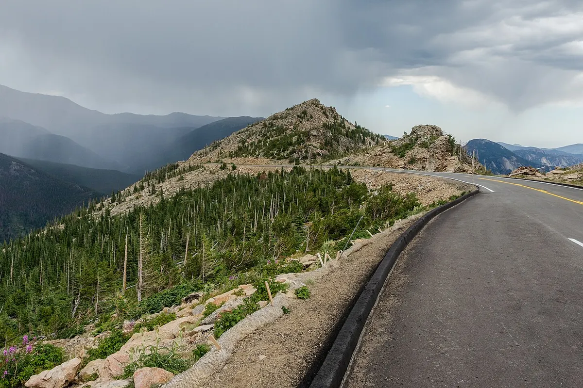
Trail Ridge Road crosses alpine tundra and links the east and west sides during its open season. Weather, snow, wind, traffic, and wildlife can slow or close it without closing lower park roads.
A walk from an overlook may begin above the elevation of many mountain summits elsewhere. Carry layers and keep the distance conservative when the group has just driven from low elevation.
- Park operation
- Open year-round, weather permitting
- Trail Ridge Road
- Seasonal high road with closure possible at any time
- Alpine Visitor Center
- Dependent on road and seasonal operation
- West side
- No park shuttle connection across the divide
- Wildlife stop
- Use designated pullouts and keep the roadway clear
- Return
- Confirm the high road remains open before depending on it
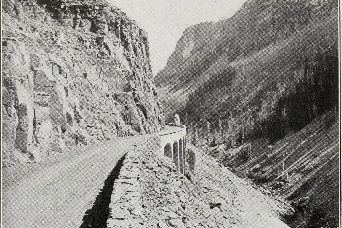
You should not use the roadway as a wildlife-viewing lane. Stop only in designated pullouts and remain far enough away that animals can move without being surrounded.
When do snowmelt and missing bridges change a route?
Lower east-side trails can be dry while shaded lakes and passes remain snowbound. On the west side, downed trees, saturated ground, and stream conditions can create different delays at the same time.
You should check the highest consequential part of the intended route. A dry first mile proves only that the first mile is dry.
- Check the trail report for the exact drainage and elevation
- Carry traction only when it matches the observed surface
- Turn around where firm snow hides a consequential edge or route
- Use bridges and established crossings rather than creating a new line
- Reassess streams on the return after warm afternoons or rain
- Keep a lower lake or forest route ready in the same corridor
Equipment should support the route decision rather than excuse a poor one. Microspikes do not arrest a long slide, and trekking poles do not reveal a buried trail.
Do you need a permit to camp in the RMNP wilderness?
Every wilderness overnight requires a permit for the named camps and dates. In 2026, advance reservations opened through Recreation.gov on March 1, with limited walk-up availability beginning later in March.
Permits must be collected under the current Wilderness Office procedure.
A wilderness permit can exempt its holder from the timed-entry requirement for access tied to the itinerary, but it does not remove the entrance fee or authorize a different corridor.
| Trip | Permission | Important boundary |
|---|---|---|
| Day hike | Entrance pass and timed entry when applicable | No overnight camp |
| Drive-in campground | Campground reservation where required | Does not provide Bear Lake parking |
| Wilderness overnight | Reserved or limited walk-up wilderness permit | Named camps, dates, and pickup procedure |
| Winter wilderness night | Off-season permit and current winter process | Avalanche, road, and weather rules still apply |
| Hiker Shuttle | Passenger reservation | Not a private-vehicle timed-entry reservation |
You should carry alternative campsite sequences only after mapping them. Scarce availability should not push the group into an elevation gain or exit it has not prepared to hike.
When is the best time to hike Rocky Mountain National Park?
July through September offers the broadest high-route access, shuttle service, and open Trail Ridge Road conditions on average. It also brings timed entry, parking pressure, afternoon lightning, and crowds.
Spring and early summer work well for lower lakes and forest while high routes remain snowy. Autumn brings cool clear days with shorter daylight and a growing chance of snow.
| Season | Useful terrain | Main tradeoff | Planning move |
|---|---|---|---|
| Spring | Lower lakes, forest, and snow travel | Mud, deep high snow, closed road, and runoff | Choose by elevation and keep crossings conservative |
| Summer | Broadest trail and transit access | Timed entry, crowds, lightning, and altitude | Reserve the corridor and start high routes early |
| Fall | Cool forest and ridge hiking | Short days, snow, elk activity, and reduced service | Protect the return and confirm road status |
| Winter | Snowshoeing and selected lower routes | Avalanche terrain, cold, road controls, and hidden trails | Use winter-specific information and a modest route |
The best month cannot make the wrong reservation valid. Start with the intended corridor, then let snow, altitude, and storm timing decide the actual trail.
How far should you stay from wildlife in RMNP?
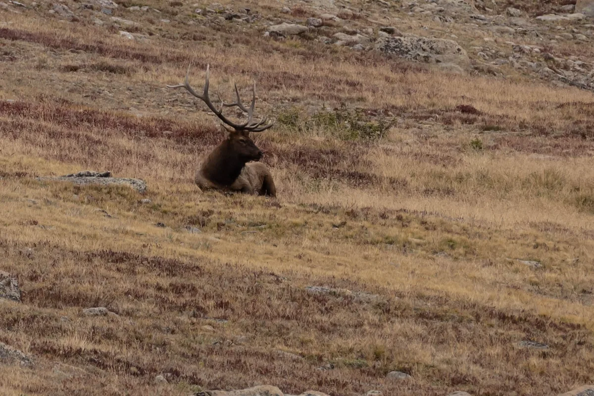
Elk, moose, bighorn sheep, and black bears use terrain near roads, trailheads, and campgrounds. Crowds do not make an animal tame or create a safe path between people and its escape route.
Stay at least 75 feet from elk, bighorn sheep, and other large wildlife, and at least 120 feet from bears and mountain lions under park guidance.
Increase the distance whenever the animal changes direction, stops feeding, watches the group, or approaches.
- Elk and bighorn sheep
- At least 75 feet of distance
- Bears and mountain lions
- At least 120 feet of distance
- Road viewing
- Stop only in a designated pullout
- Trail encounter
- Give the animal room to leave and do not surround it
- Food
- Never feed wildlife or leave packs unattended
- Children and pets
- Keep close enough for immediate control
During the autumn rut, bull elk can defend space aggressively. A meadow edge, parking lot, or town street remains part of that space when animals are present.
Moose can charge when surprised at close range, especially around willows and water. Back away and place substantial terrain between the group and the animal rather than trying to pass on the trail edge.
You should never stop in the roadway to view or photograph wildlife. A vehicle queue creates collision risk and can block the route needed by rangers or an ambulance.
Food storage rules protect the next visitor as well as the current camp. Secure food, rubbish, cookware, and scented items whenever they are not in direct use.
If wildlife occupies the intended route, wait from a safe distance or turn around. A summit or lake does not justify pushing an animal toward another group.
The better photograph uses a long lens from legal distance. If the animal fills a phone screen without zoom, the group is usually close enough to affect its behavior.
You should never move closer because another visitor already stands near the animal. Crowds often hide the first signs of stress and make it harder for wildlife to find an open retreat.
During spring calving, cows can defend young hidden in grass or willow. Give extra space to a lone adult watching one patch of ground, even when no calf is visible.
Bighorn sheep may gather near roads to use mineral deposits. Watch from a designated area without stepping between the herd and the slope it uses to escape.
At camp, inspect the site before unloading food. Locate the required storage, keep vehicle doors closed, and clean cooking residue before leaving for an evening walk.
On trail, group voices help avoid a surprise at a blind bend. Music from a speaker does not replace attention and degrades the experience for wildlife and other hikers.
If an animal follows or approaches, create distance without running and contact a ranger when behavior appears unusual. Do not reward the approach with food or allow it to corner the group against water or a cliff.
Dogs are prohibited on park trails, tundra, and meadows, even when leashed. A dog can disturb wildlife and cannot ride most park shuttles, so pet care must be settled before the hiking day begins.
You should never leave a pet in a parked vehicle while the group hikes. Mountain sun can heat a car quickly, and a shaded space can become exposed as the day progresses.
Use binoculars for meadow viewing and keep the group on durable surfaces. Stepping into tundra for a clearer angle can damage plants that survive only a short alpine growing season.
Report injured wildlife or unsafe crowd behavior to a ranger rather than intervening. Approaching an animal to help can increase stress and place the group in its escape path.
Bear Lake Road is a destination inside the park as well as an access corridor, so the reservation product and shuttle plan must agree.
A general timed-entry permit does not grant entry to the Bear Lake corridor during its controlled hours, and a Bear Lake reservation still does not reserve a parking stall.
Wild Basin provides a separate southeast approach with long waterfall, lake, and backcountry routes.
It can reduce dependence on the Bear Lake shuttle, but its narrow approach and limited trailhead parking reward an early start rather than a late pivot after another lot fills.
The west side from Grand Lake begins in a different valley and remains useful when the objective is Kawuneeche terrain rather than an east-side icon.
Trail Ridge Road closure can divide the two sides, so an itinerary should not depend on crossing the alpine road unless the current status supports it.
Give the outside contact the entrance, corridor, trailhead, highest intended point, turnaround, and planned exit.
That detail matters because a person struggling with altitude may descend to a different shuttle stop or road than the one named at breakfast.
Longs Peak is visible from many ordinary hikes, but its summit route is not a casual extension of a destination profile.
Distance, elevation, exposure, route finding, storms, and the need for a very early start make it a separate objective that deserves its own current route information.
You should not use a successful drive over Trail Ridge Road as proof that the group is ready for a long summit day. Sitting at elevation and climbing for hours impose different effort, hydration, temperature, and turnaround demands.
A lower first hike gives the group a useful observation window. Headache, nausea, unusual fatigue, poor sleep, or a slow recovery should reduce the next day's elevation rather than become a reason to push harder.
The best progression preserves an exit below the highest objective. You should keep one lower lake or forest route available so the timed-entry reservation still produces a useful day when altitude or lightning removes the alpine plan.
Sources
The two 2026 entry products, dates, hours, and release schedule came from the National Park Service Timed Entry Permit System. Shuttle routes and current 2026 service details came from Shuttle Buses and Public Transit.
Trail context came from the official Hiking page. Lightning guidance came from the NPS Lightning Safety page, and overnight rules came from the 2026 Wilderness Camping FAQ, checked August 24, 2026.
RespectHazards to plan for
- altitude illness
- lightning
- cold
- snow
- wildlife
- road closure