
AB Mountain Trail: Route Finding, Weather, and Descent
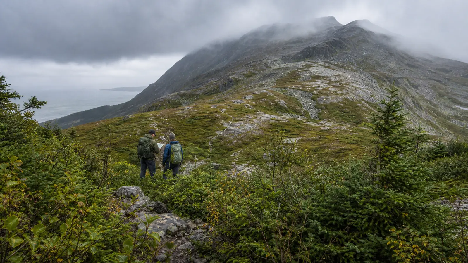
AB Mountain climbs roughly 5,000 feet over an all-day route above Skagway. The trail fades through brush into cairn-marked alpine terrain, so weather gates, reversible landmarks, and descent time matter more than summit views.
AB Mountain is an all-day route above Skagway with roughly 5,000 feet of climbing over about ten miles. Forest tread, brush, a stream crossing, cairn-marked alpine ground, sudden cloud, and the same long descent all have to fit inside your margin.
Choose the route only when every hiker can sustain the climb and still navigate it in reverse. The summit view is optional, while a recognizable descent is essential.
Is AB Mountain Trail within your margin?
The route begins near sea level and climbs into exposed alpine terrain. Mileage understates the day because route checks, brush, stream conditions, and careful downhill movement prevent a steady trail pace.
You need enough daylight to descend more slowly than you climbed.
Set a clock turnaround before leaving the trailhead, then move it earlier when actual pace or weather consumes the buffer.
The descent is half the route. A fast ascent does not repay time lost to a missed treeline entry.
Where does the trail stop behaving like a trail?
Recognizable forest tread leads through brush and a stream crossing before the route opens onto rock. Above treeline, the line becomes less continuous and terrain recognition matters more than footprints.
Record each transition while climbing
- Lower forestConfirm the first unambiguous treadThe return begins from a known line
- Stream crossingPhotograph the correct bank from the descent directionWater and approach angle can look different later
- Dense brushMark the last clear opening before sight lines closeA hidden turn can be recovered quickly
- TreelineSave the exact gap between vegetation and open rockThis is the main descent target
- Alpine groundConnect cairns to fixed terrainStone piles never become the only route evidence
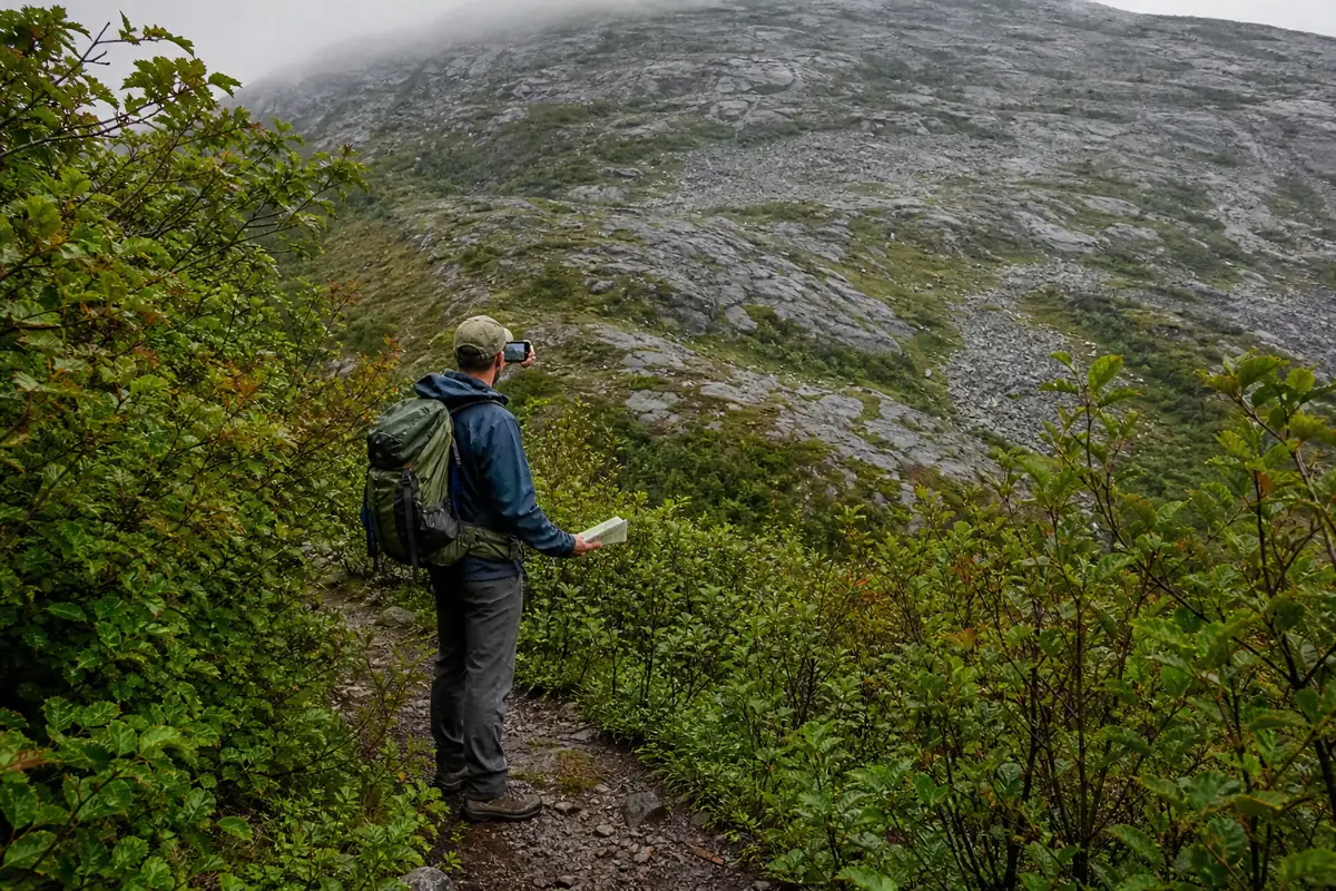
If the tread disappears inside brush, return to the last confirmed point.
Do not push toward where you imagine the route should reappear.
Why are cairns not enough above treeline?
Cairns can confirm a route, but they can be moved, obscured, or built by other visitors. A stone pile also says nothing about whether the terrain beyond is safe in current weather.
Build a chain of features you can recognize in both directions. A stream bend, isolated rock, exact treeline notch, and one summit bearing are stronger together than a single GPS track.
Cairn
Confirm it against the intended ridge or drainage before moving on.
Treeline notch
Keep the exact vegetation opening visible whenever cloud allows.
Stream bank
Record the return side and stable crossing line before climbing away.
Backward photograph
Include the path and a fixed feature, not only scenery.
Phone navigation supports the chain but cannot own it.
Preserve battery and keep a paper terrain view available.
When do cloud and wind cancel the summit?
Cloud can erase the summit and visual connection to treeline within minutes. Strong wind changes balance, cooling, and communication on open rock.
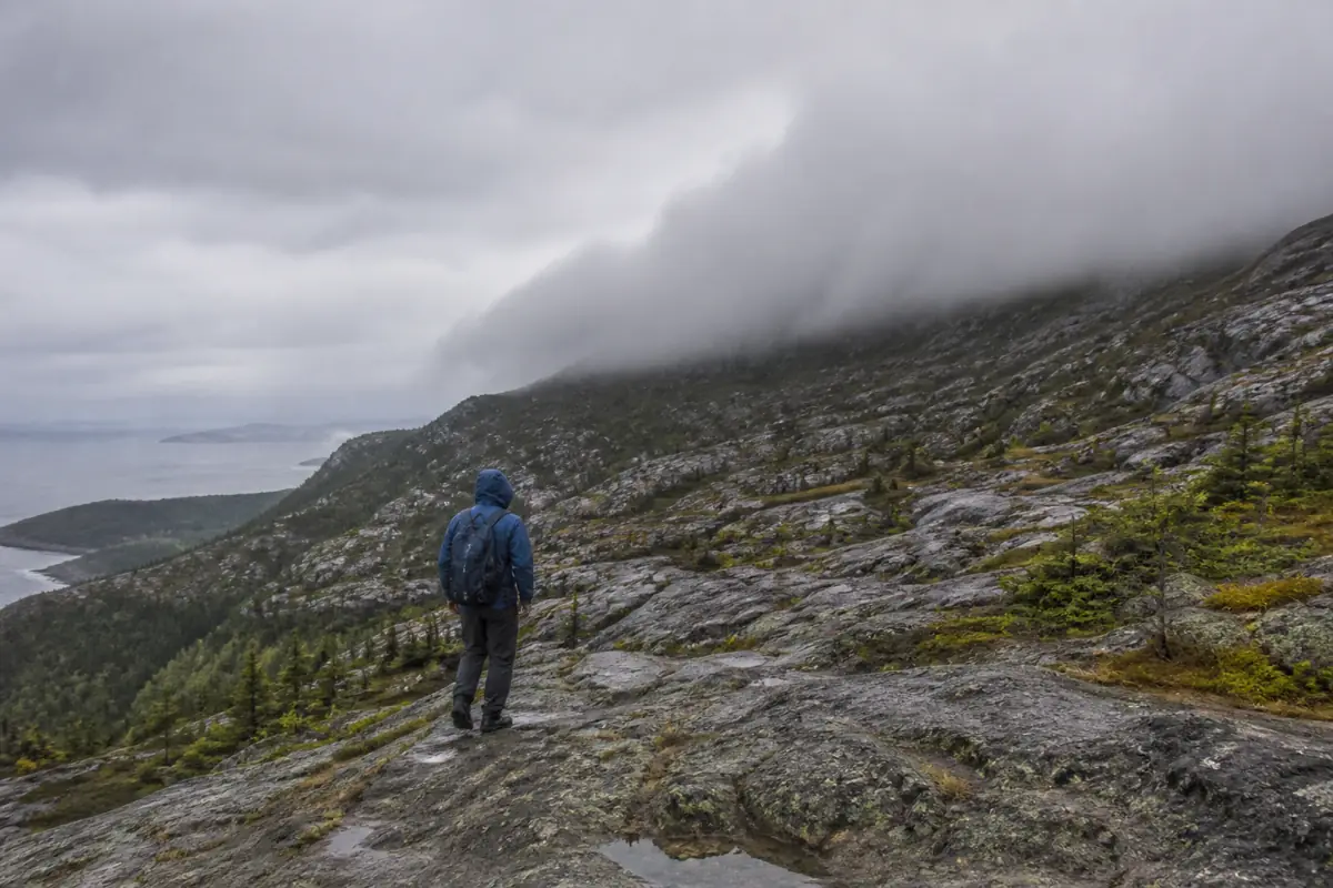
Wet rock can make the same line harder in reverse. If weather is deteriorating, use the ground you already know instead of waiting above treeline for a view.
How should you handle lingering ice?
Snow and ice can remain after lower forest looks like summer. A short firm patch can create a long fall when it crosses steep rock or blocks the only stable line.
You should continue only when every person has equipment and practiced skill suited to the actual surface. Carrying traction without knowing its limits does not make a steep traverse safe.
Avoid walking directly below another hiker on mixed rock and ice. Falling stones and dropped equipment follow the same slope.
Turn around when the group cannot reverse an icy move under control.
The summit does not remove that surface from the descent.
How much food, water, and time does the climb consume?
An all-day climb needs steady food and enough water for exposure, wind, and delay. Natural water requires treatment and cannot be assumed available at a convenient point.
- Start with a written turnaround and current sunset time
- Carry adequate water or a treatment plan for verified natural sources
- Pack food that can be eaten during short weather-safe stops
- Reserve a headlamp and phone battery for the descent
- Carry warm layers and rain protection for wet brush and alpine wind
- Leave route, vehicle, turnaround, and late-return details with a reliable contact
Food, layers, and emergency supplies cover an unplanned delay. They do not justify spending the normal descent margin.
Where is the trailhead and what must you confirm?
Official descriptions place the start on Dyea Road outside the compact Skagway street grid. Visitors without a vehicle must arrange transport or accept extra approach time before the mountain day begins.
- Start
- Signed AB Mountain trailhead on Dyea Road
- Transport
- Arrange a reliable return before hiking
- Status
- Check Municipality of Skagway information and regional NPS alerts
- Inspection limit
- Regional alerts do not guarantee a same-day route inspection
- Map
- Save offline terrain and the trailhead point
- Contact
- Give someone the late-return threshold and local emergency number
Do not invent a parking reservation or borrow permit rules from the Chilkoot Trail.
Verify notices that name this road and route.
What should trigger the turnaround?
Your turnaround should respond to the first failing margin, not wait for several problems to stack. Time, visibility, water, stream conditions, movement quality, and group communication each have authority to end the ascent.
| Trigger | Evidence on the route | Action |
|---|---|---|
| Clock | The planned turnaround arrives before the summit | Descend immediately |
| Visibility | Treeline or the next fixed landmark disappears | Return to the last connected terrain |
| Stream | Water is rising or the return line is uncertain | Cross back before conditions worsen |
| Movement | Repeated slips, shaking legs, or worsening pain appear | Preserve controlled descent while it remains possible |
| Weather | Wind affects balance or cloud keeps lowering | Leave open alpine terrain |
| Navigation | The next reversible landmark cannot be established | Stop gaining elevation |
If you lose the line, keep the group together and return to the last confirmed point while it remains close. Sending hikers in different directions multiplies the problem.
How do you make the descent recognizable?
Take backward-looking photographs at decision points during the climb. A useful image includes the path, a fixed feature, and enough surrounding terrain to relocate it.
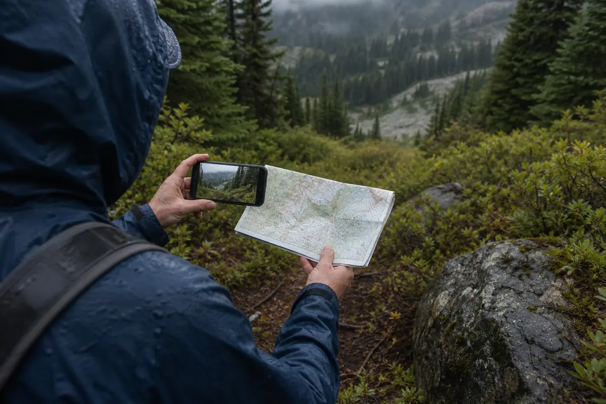
- Leave the upper mountain before visibility breaks the next connection
- Match each major cairn to the terrain recorded during ascent
- Stop above treeline and compare the live scene with the saved downhill photograph
- Enter brush only when the exact opening and next confirmation agree
- Reach the stream on the recorded bank and reassess water level
- Follow known forest tread back to the Dyea Road trailhead
Use rain protection before wet brush so clothing does not become the reason for a rushed descent. Keep both hands available where roots, rock, or vegetation demand balance.
Sources
Route and access. National Park Service longer hikes from Skagway and Municipality of Skagway trails information support the Dyea Road start, route scale, terrain, and local status checks, verified August 30, 2026.
Terrain observations. Alaska.org AB Mountain and the Skagway trail map support brush, stream, cairns, route-finding difficulty, and all-day character, verified August 30, 2026.
RespectHazards to plan for
- route finding
- dense brush
- stream crossing
- low cloud
- strong wind
- long descent