
Absaroka-Beartooth Wilderness Hiking and Self-Reliance
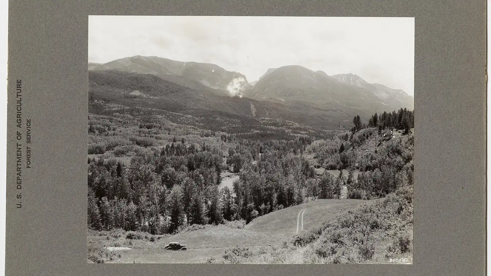
Plan Absaroka-Beartooth Wilderness hiking by ranger district, terrain family, seasonal access, food storage, camp setbacks, water, transport, and exit margin.
Weather
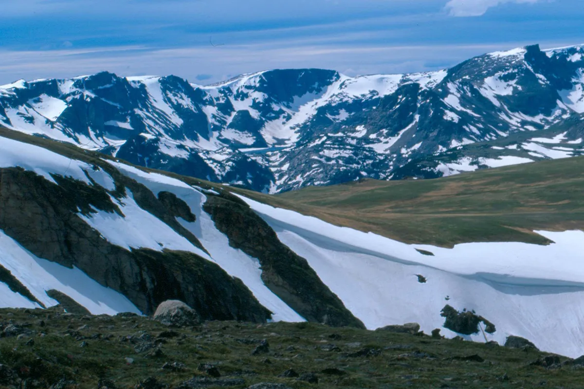
High passes hold snow into summer. Snowmelt raises crossings, afternoon thunderstorms threaten plateaus, and early fall can bring short daylight and sudden snow.
Plan the practical details
- Access
- Multiple Custer Gallatin and Shoshone forest districts serve widely separated trailheads. A traverse may finish many road miles from its start.
- Permits
- General hiking does not use one wilderness permit, but forest orders, group limits, mandatory food storage, camp setbacks, fire restrictions, and nonmechanized travel apply.
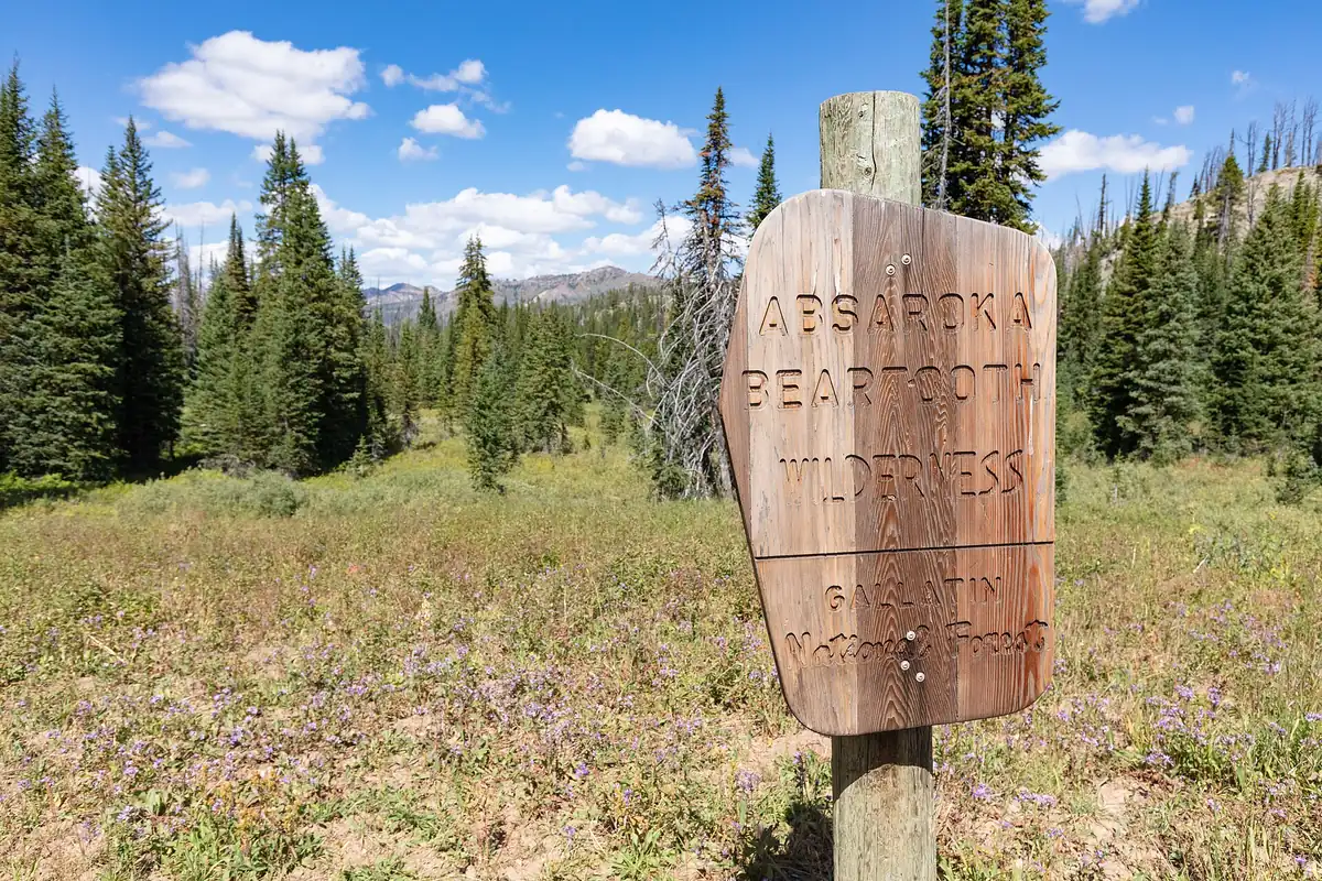
Absaroka-Beartooth Wilderness hiking starts with a jurisdiction, trailhead, and exit plan. The 944,000-acre wilderness spans Montana and Wyoming, crosses several national forest units, and combines volcanic Absaroka drainages with the granite plateaus and lakes of the Beartooths.
You should choose the managing forest and trail corridor before choosing mileage. That decision identifies the applicable alerts, road access, food-storage order, camping restrictions, and ranger office that can answer a route-specific question.
Wilderness removes mechanical shortcuts. There are no bicycles, carts, or motorized rescues waiting on a road beside the route.
Which forest office manages your Absaroka-Beartooth trailhead?
The Absaroka-Beartooth Wilderness is administered through Custer Gallatin and Shoshone national forests. Trailheads on the Beartooth front, East Rosebud, the Boulder drainage, Cooke City side, and Wyoming approaches do not share one access road or one conditions page.
A trail name can also continue across an administrative boundary. The East Rosebud Trail, often called the Beaten Path, climbs through the Beartooths and connects with the Russell Creek route toward a different exit, which makes transport a first-order problem for a traverse.
| Approach family | Landscape character | Planning owner |
|---|---|---|
| Beartooth front and Red Lodge | Granite basins, lakes, plateau access, and high passes | Custer Gallatin Beartooth Ranger District |
| East Rosebud | Long lake-and-waterfall corridor with traverse potential | Custer Gallatin trail and wilderness guidance |
| Boulder and northern Absarokas | Forested volcanic drainages and long approaches | Custer Gallatin Yellowstone or Gardiner area guidance |
| Wyoming Absarokas | Rugged volcanic valleys in grizzly country | Shoshone National Forest district guidance |
| Cooke City and northeast gateway | High seasonal roads and cross-boundary routes | Confirm both forest and Yellowstone-area access |
You should write the exact trailhead name, road number, and managing office into the plan. A broad label such as “the Beartooths†cannot tell an outside contact which drainage or state contains the vehicle.
Which Absaroka-Beartooth terrain fits your route?
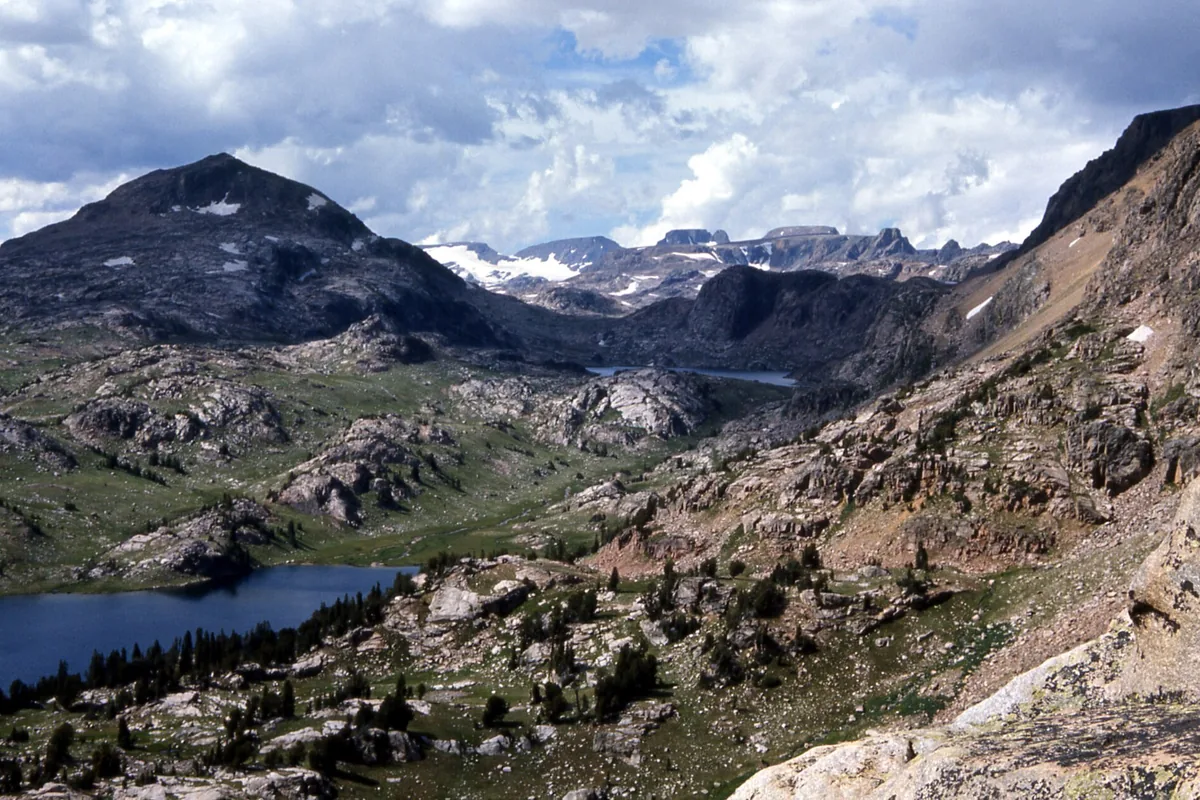
The Beartooth side holds broad high plateaus, exposed passes, glacial basins, and dense clusters of lakes. The Absaroka side uses deeper forested drainages, eroded volcanic ridges, and long creek corridors with fewer open navigation cues.
Similar elevation does not create similar movement. Plateau travel exposes a group to wind and lightning, while a narrow drainage can concentrate stream crossings, deadfall, bears, and a long retreat to the only road.
High granite plateau
Broad views, sparse shelter, lingering snow, wind, and navigation across open rock.
Lake basin chain
Repeated water access and scenic camps, with fragile shores and concentrated use.
Volcanic drainage
Long forest approaches, loose slopes, creek crossings, and limited lateral exits.
High pass traverse
Transport dependency, snow, route finding, and exposure on both sides of the divide.
Foothill day route
Faster access and lower commitment, with heat, wildlife, and a long drive from high-country services.
You should choose terrain before distance. A 10-mile day across open plateau snow can demand more navigation than a longer maintained valley trail.
When is the best time to hike the Absaroka-Beartooth Wilderness?
High snow can persist through early summer, and the Beartooth Highway is a seasonal road whose opening and closing depend on weather. Trailhead access does not prove that passes, camps, or the far exit are snow free.
Afternoon thunderstorms build quickly over exposed terrain. A group committed above treeline needs an earlier start and a descent option that does not require crossing another high pass.
A season that opens by elevation
- Late springLower approaches emerge while high roads and passes may remain closedVerify the road and expect snow beyond the trailhead
- Early summerSnowmelt raises streams and softens trailsCrossings may be harder even as access improves
- Mid-summerBroadest trail access and longest daylightLightning, sun, insects, and wildfire can control the day
- Early fallCooler travel and fewer insectsShort daylight, hunting activity, and sudden snow reduce margin
- WinterDeep snow and closed seasonal roadsTravel becomes a specialized winter objective
You should check the forecast for the highest planned point rather than the nearest town. Wind and cold at a pass can remain serious when Red Lodge or Livingston is warm.
How must you store food in Absaroka-Beartooth grizzly country?
The wilderness lies within the Greater Yellowstone ecosystem, where black and grizzly bears use the same drainages as hikers. Food, garbage, toiletries, pet food, stock feed, and cooking equipment all count as attractants.
Current orders require proper storage using an approved bear-resistant product or a compliant hang where that method is allowed and possible. A tree plan is weak on open plateaus, so a certified container often provides the more reliable solution.
- Carry bear spray where it can be drawn without removing the pack
- Store every attractant under the current forest order
- Cook and store food away from the sleeping area
- Avoid camps with fresh tracks, scat, digging, carcasses, or food remains
- Keep the group together in dense cover and near noisy streams
- Report unsafe food-conditioned wildlife to the managing office

You should not keep attractants in the tent. A clean camp reduces the chance that a bear connects people with food, and it protects later visitors using the same durable site.
Where can you camp in the Absaroka-Beartooth Wilderness?
Absaroka-Beartooth rules prohibit camping and campfires within 200 feet of a lake and within 100 feet of flowing water. These distances protect shorelines, water quality, wildlife travel, and the limited durable ground around popular basins.
Some named areas prohibit open fires entirely, and seasonal fire restrictions can be stricter. A stove should be the primary cooking system even where a small fire might technically be allowed.
- 200 ft
- Minimum camp and fire distance from a lake
- 100 ft
- Minimum camp and fire distance from flowing water
- 15 people
- Maximum daily group size under the cited wilderness guidance
- 16 days
- Maximum stay at one campsite before the required move
- 5 miles
- Required move after reaching the campsite stay limit
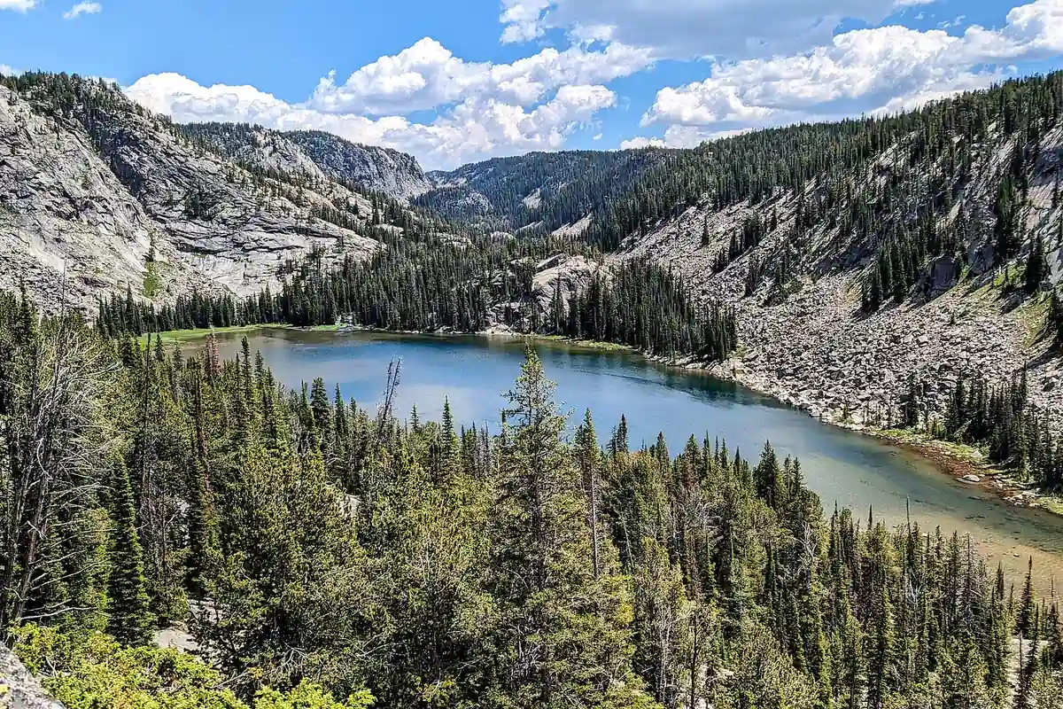
You should use an existing durable site when it meets the rules, but do not expand it or build furniture. Pack out trash and toilet paper where required, and follow current waste guidance for the exact basin.
Can you drink from Absaroka-Beartooth lakes and streams?
Lakes and streams are common in many Beartooth routes, yet every natural source should be treated. Livestock, wildlife, and upstream camps can contaminate water that looks clear.
Snowmelt and thunderstorms can make creek crossings cold and forceful. A route with one ford on the way in may require the same ford at a higher level on the return.
- Mark dependable and seasonal sources on the map
- Carry enough water to reach the next source if a small stream is dry
- Treat collected water before drinking
- Assess depth, speed, entry, exit, and downstream consequence at every ford
- Turn around when the crossing exceeds the group's balance or recovery margin
- Recheck water before leaving a basin for an exposed plateau
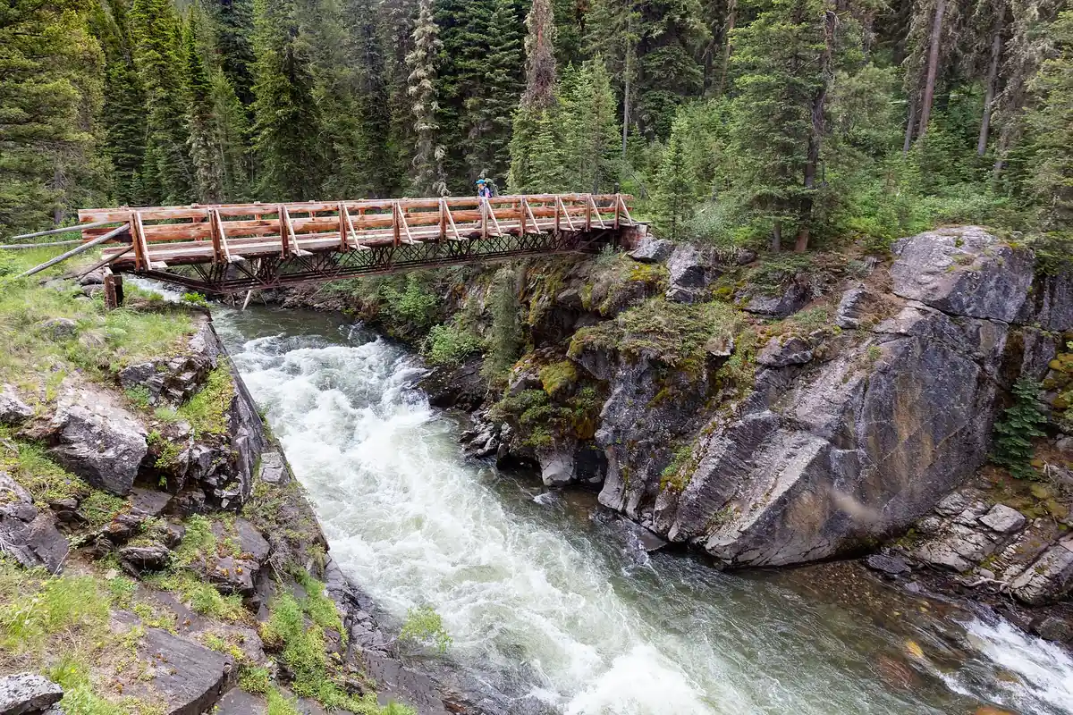
You should keep treatment and one emergency water reserve accessible. A broken filter should not force the group to drink untreated water or abandon the safest exit timing.
How do you plan transport for an Absaroka-Beartooth traverse?
The Beaten Path illustrates the appeal and cost of a through-route. The East Rosebud and Clarks Fork ends are far apart by road, and a driver, shuttle, or vehicle placement can fail even when every hiker finishes on schedule.
You should confirm the road condition at both ends and give each driver exact coordinates, vehicle descriptions, keys, and overdue instructions. Remote trailheads may have little or no cellular service.
| Transport model | Strength | Failure to solve before departure |
|---|---|---|
| Two vehicles | Independent timing at both ends | Key exchange, road condition, and vehicle reliability |
| Local shuttle | No second driver hiking | Confirmed operating date, pickup point, and cancellation plan |
| Out-and-back | One vehicle and one access road | Repeated terrain and a firm turnaround before half the resources are spent |
| Loop route | Returns to one trailhead | The loop must truly connect under current snow and crossing conditions |
| Emergency pickup | Useful only as contingency | It is not a substitute for a confirmed primary exit |
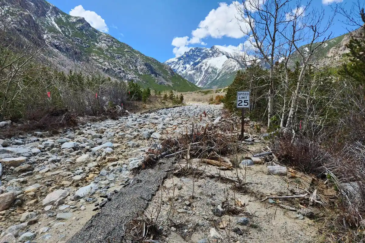
An out-and-back is often the stronger first trip because it removes the remote pickup. Turn around early enough that the return crossing, weather, and daylight remain inside the same margin used on the approach.
How much self-rescue capacity does your itinerary require?
Wilderness designation limits mechanized access and preserves a remote setting. Rescue may be delayed by terrain, weather, distance, and communication, so a minor injury can become an overnight problem.
You should carry navigation that works without a phone signal, insulation for an unplanned stop, first aid, light, fire or stove capability under current restrictions, and enough food to absorb delay. A satellite communicator can shorten the time to report an emergency but cannot make evacuation immediate.
- One map setFull route plus both exitsA phone screenshot does not show enough surrounding terrain
- One overdue timeShared with an outside contactSearch action begins from a clear trigger
- One extra night marginFood and insulationWeather or injury does not immediately exhaust supplies
- Two exit optionsWhere terrain allowsA blocked pass does not trap the itinerary
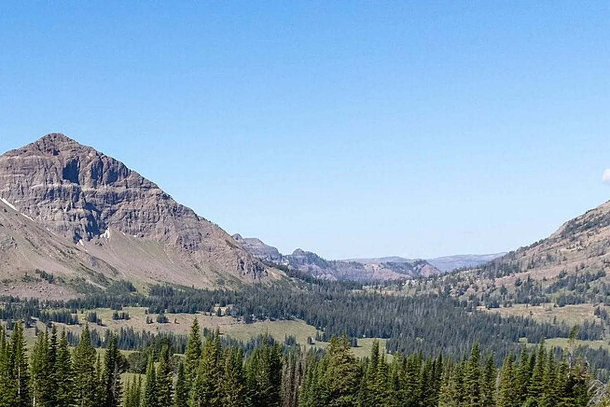
The strongest plan states when the group will stop, turn around, shelter, or call for help. Those thresholds should be agreed while everyone is rested rather than after weather or fatigue has narrowed the options.
How do you navigate when the trail disappears?
Maintained wilderness trails can fade across rock, snow, meadow, blowdown, or braided stream channels. A line on a digital map does not guarantee signs at every junction or a visible tread under current conditions.
Carry a topographic map that extends beyond the planned corridor, a compass, and a downloaded digital map as a separate aid. Every group member should know the next major drainage, pass, and exit direction rather than following one phone.
Use terrain as a continuous check. A creek flowing the wrong direction, a pass appearing on the wrong side, or an unexpected descent deserves an immediate stop before distance turns a small error into another valley.
Mark decision points and write down the bearing or drainage that confirms each one. This is more useful than recording every bend because it identifies the places where a wrong choice changes the exit.
Cold drains batteries quickly, and satellite reception can be limited by deep valleys. Protect electronics from water, carry independent power, and keep the paper tools usable when every screen fails.
A disappearing trail is more serious when the intended line crosses several similar basins. You should identify the pass, drainage direction, and last unmistakable landmark together so the group notices a wrong turn before losing substantial elevation.
If the map and terrain disagree, returning to the last confirmed point is usually safer than extending an uncertain line toward the next ridge. That decision protects daylight and prevents a small navigation doubt from becoming an unplanned exit through steeper ground.
How should group pace protect the return trip?
A long wilderness day succeeds only when the slowest hiker retains enough strength for the final crossing and trailhead approach. Splitting the group transfers navigation, bear safety, first aid, and shelter capacity into smaller teams that may not have the same resources.
Set regroup points at major junctions, crossings, and passes. Visual contact is not always possible in dense forest, so agree on a short waiting rule that prevents the lead hiker from continuing miles beyond a missed turn.
Foot problems deserve early treatment. A small hot spot, loose boot, or wet sock can become a pace-limiting injury after the only easy turnaround has passed.
Watch food and water use against the planned exit, not the summit or campsite. The halfway point in distance may occur before the hardest pass, largest crossing, or driest plateau.
When one person deteriorates, the group objective changes. Use the safest exit that keeps necessary equipment and experienced navigators together, then update the outside contact if communication is possible.
A group that reaches a turnaround late should shorten the objective before separating. The stronger hikers cannot transfer their daylight, navigation information, or bear-safety margin to people left behind.
A safer decision keeps the party together and preserves enough energy for the last ford, talus crossing, or road walk. This matters most on a traverse because the exit vehicle may be fixed at one distant trailhead.
Are dogs and stock allowed on your chosen route?
Horse use is permitted on many wilderness trails, but stock adds feed, water, containment, trail-condition, and campsite responsibilities. Check current stock restrictions and weed-free feed requirements with the managing district.
Hikers should yield using the trail guidance provided by the forest and communicate calmly with riders. Move to a safe side where animals can see the group rather than hiding below the trail or making sudden movements.
Dogs can increase wildlife encounters and may be difficult to control near stock, steep water, or bears. A leash rule is only the minimum question because heat, paws, recall, and the ability to carry an injured dog also determine whether the route is suitable.
Do not let an animal approach wildlife, enter another camp, or contaminate water near shore. Pack out waste where required and keep food for pets inside the same attractant-storage system as human food.
Weather can also make stock or dog travel unsuitable before it stops human travel. Hot exposed approaches, deep snow, sharp talus, and high crossings deserve a separate animal assessment rather than assuming four legs provide more margin.
Include animal food, first aid, restraint, and evacuation in the pack calculation. A person may need to carry an injured dog or turn back when stock cannot safely cross a bridge or ford.
Sources
Wilderness group size, camp setbacks, food storage, stay limits, and equipment restrictions were checked against the Custer Gallatin National Forest Absaroka-Beartooth Wilderness Regulations. Route context came from the Forest Service East Rosebud Trail and Custer Gallatin recreation pages.
Wyoming-side bear guidance and landscape context came from Shoshone National Forest visitor materials. Information was verified August 24, 2026 and should be checked with the managing ranger district before travel.
RespectHazards to plan for
- grizzly bears
- high snow
- lightning
- cold crossings
- navigation loss
- remote evacuation