
Adirondack Mountains Hiking Starts with the Land Unit
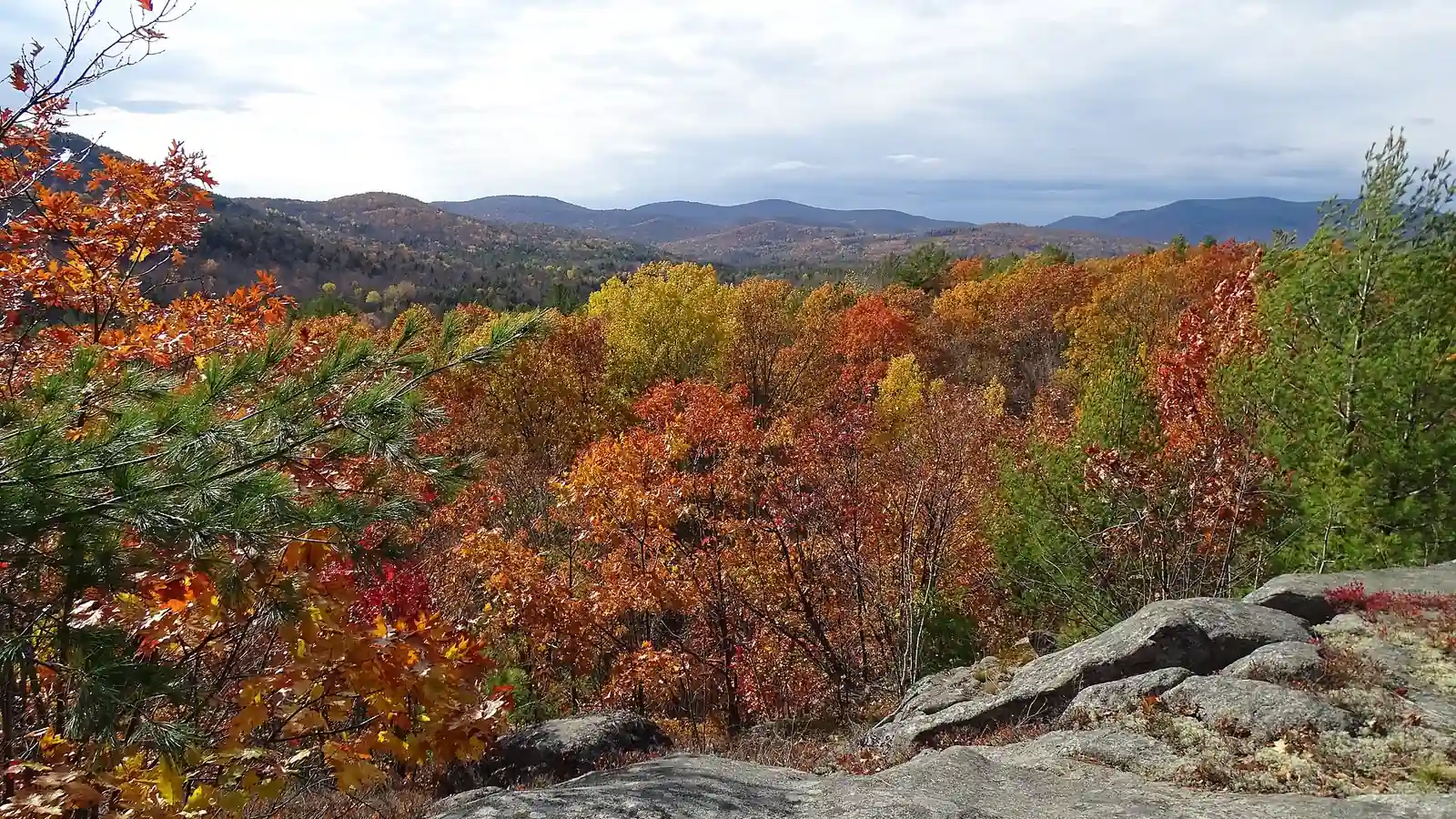
Plan Adirondack hiking by management unit, public or private access, trail surface, parking, mud or snow, camping zone, water, and emergency plan.
Weather
Wet rock, mud, flooding, ice, deep snow, wind, and short daylight can change a short route. Valley forecasts do not describe exposed High Peaks summits.
Plan the practical details
- Access
- The six-million-acre park mixes state Forest Preserve, private land, communities, easements, roads, lakes, wilderness, and Wild Forest units.
- Permits
- Rules vary by unit. AMR uses seasonal reservations, while High Peaks zones set specific group, camp, fire, dog, canister, and snowshoe requirements.
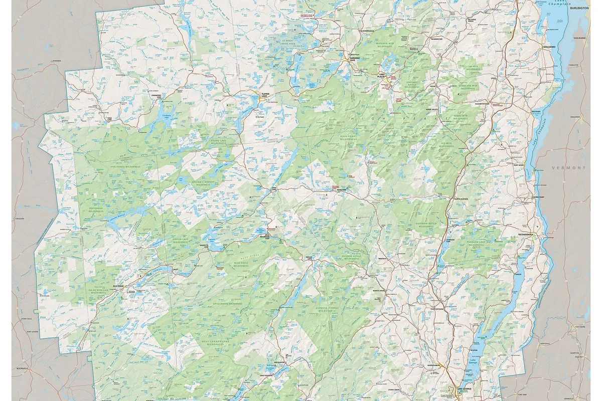
Adirondack Mountains hiking is shaped by land classification and local access rather than one national-park gate. The six-million-acre Adirondack Park mixes public Forest Preserve, private property, towns, roads, lakes, wilderness, and Wild Forest units under different rules.
You should choose the management unit before choosing a summit. High Peaks regulations, Adirondack Mountain Reserve access, a western lake district, and a southern Wild Forest trail can impose different parking, camping, dog, fire, and snowshoe requirements.
The blue line is not all public land. About half the park is privately owned, so a trail easement does not grant access to adjacent shorelines, buildings, or unmarked property.
Why does the Adirondack Park mix public and private land?
The Adirondack Park Agency describes roughly six million acres inside the boundary, with about 2.9 million acres of state land and the rest in private ownership, communities, farms, and working forests. Roads and villages remain part of the landscape rather than sitting outside a single protected block.
State land is further classified as Wilderness, Wild Forest, Canoe Area, Primitive, Intensive Use, and other categories. Those classifications influence where trails, bicycles, motor vehicles, camps, and structures may occur.
- About 6 million acres
- Total Adirondack Park area
- About 2.9 million acres
- State land guided by the State Land Master Plan
- Private land
- Towns, homes, working forests, farms, and conserved tracts remain inside the park
- Wilderness
- Nonmotorized character with unit-specific camping and group rules
- Wild Forest
- Broader recreation mix with rules set by the named unit
- Conservation easement
- Public rights are limited to the terms and marked corridors
You should stay on the marked public route when an easement crosses private land. A lake visible beside the trail may not be open for swimming, boating, shoreline use, or winter crossing.
What should you do when an Adirondack trailhead lot is full?
Popular Route 73 trailheads fill early, and roadside parking is prohibited where signs or road rules say so. Blocking a travel lane, gate, or emergency access is not an acceptable substitute for a legal space.
The Adirondack Mountain Reserve requires advance reservations for parking and trail access from May 1 through October 31. Walk-ins are not allowed under the current program, and the reservation covers access through the named private property rather than every High Peaks trailhead.
A parking-first morning
- Two weeks beforeCheck whether the selected access uses the AMR reservation systemThe booking window is not missed
- Night beforeConfirm the unit notice, closure, legal lot, and backupA changed gate does not create roadside improvisation
- At arrivalPark only inside a legal marked spaceEmergency and local traffic remain clear
- Lot fullMove to the preselected alternativeWaiting on the shoulder does not become the plan
- After the hikeSign out where a trail register is providedThe trip record reflects the group's return
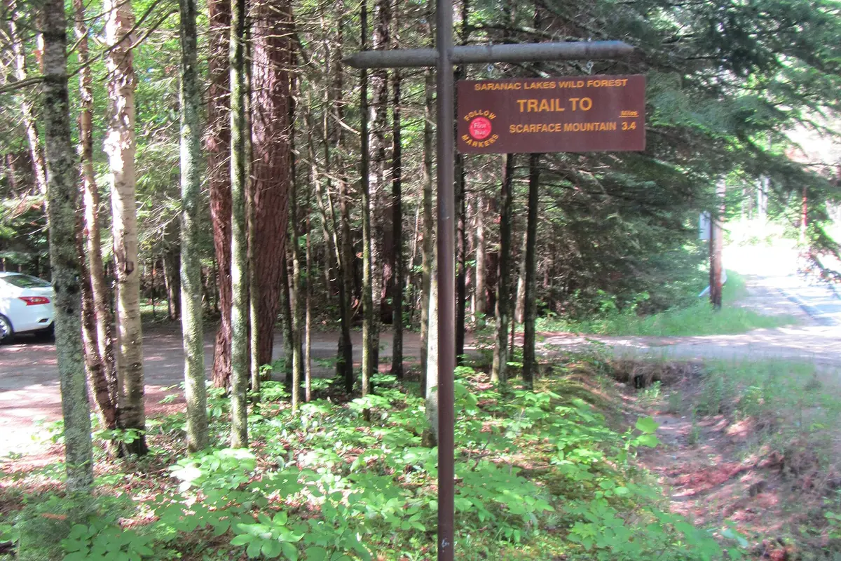
Build alternatives in different parking corridors. Two routes from the same small lot do not provide two real options when the lot is full.
If the first lot is full, use the alternate trailhead chosen during planning instead of searching roadside shoulders for an improvised space. That choice protects emergency access and gives the group a known route, distance, and turnaround.
A legal parking place can still be a poor substitute when it changes the trail network. Recheck the map before walking so an alternate start does not quietly add a road crossing, water crossing, or several unexpected miles.
Where should you base an Adirondack hiking trip?
Lake Placid, Keene Valley, Saranac Lake, Tupper Lake, Old Forge, and other communities serve different parts of the park. A base close to one trail network can be hours from another after mountain roads and village traffic are included.
Developed campgrounds, legal roadside sites marked for camping, private campgrounds, and backcountry sites are different systems. Sleeping at a trailhead or unmarked roadside location is not permitted.
Keene and Lake Placid
High Peaks access, strong demand, steep routes, and specific private-easement boundaries.
Saranac Lake and Tupper Lake
Lake districts, Wild Forest routes, paddling connections, and a wider range of grades.
Old Forge and southwest
Lower relief, extensive forest networks, and useful first-trip options.
Central Adirondacks
Fire towers, lakes, long through-routes, and dispersed trailheads.
Developed campground
Legal base with facilities and a known morning road, separate from backcountry authorization.
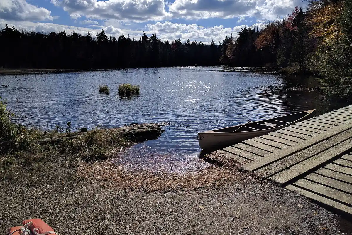
Tell an outside contact the exact trailhead, route, turnaround, camp, vehicle, and overdue time. New York lists 911 and 1-833-NYS-RANGERS for backcountry emergencies, but carrying a number does not replace a plan that works without immediate cell service.
Which Adirondack terrain fits your hiking day?
Adirondack trails often climb directly through roots, rock slabs, mud, and drainage rather than using long graded switchbacks. A short route can require slow foot placement, hand support, and careful descent on the same wet surface.
The High Peaks also concentrate demand into a limited number of trailheads. Parking pressure, fragile alpine vegetation, and unit-specific rules make a famous summit a poor default for every first visit.
High Peaks Wilderness
Steep summit routes, alpine vegetation, parking pressure, zone rules, and long days.
Western lake country
Gentler relief, wet trails, remote ponds, paddling connections, and fewer open summits.
Central Adirondacks
Fire towers, mixed forest, lakes, and routes with varied road access.
Southern Adirondacks
Lower peaks, Wild Forest networks, and practical day-hike introductions.
Northville-Placid corridor
Long-distance travel, lean-tos, wet sections, and logistics across multiple units.
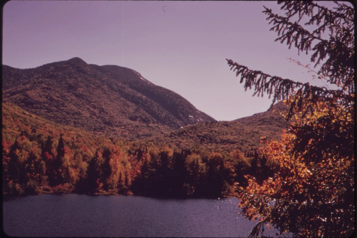
You should choose for the least experienced hiker's descent capability, not only the group's uphill ambition. Reaching a summit with tired legs leaves the same wet slabs between the group and the vehicle.
When should you avoid High Peaks trails during mud season?
Spring thaw leaves high-elevation soils saturated and vulnerable to erosion. New York guidance asks hikers to avoid steep high trails during mud season and to use lower, drier routes until conditions improve.
When mud appears on an open trail, walk through the center in waterproof footwear rather than widening the tread around it. Turning the edge into a bypass damages vegetation and creates a broader drainage scar.
- Check the current regional backcountry notice before departure
- Avoid steep high routes during the spring mud advisory
- Wear footwear that can travel through the center of wet tread
- Turn around at flooded bridges, unstable crossings, or a posted closure
- Carry traction when shoulder-season ice remains above the valley
- Choose a lower Wild Forest route as the planned spring fallback
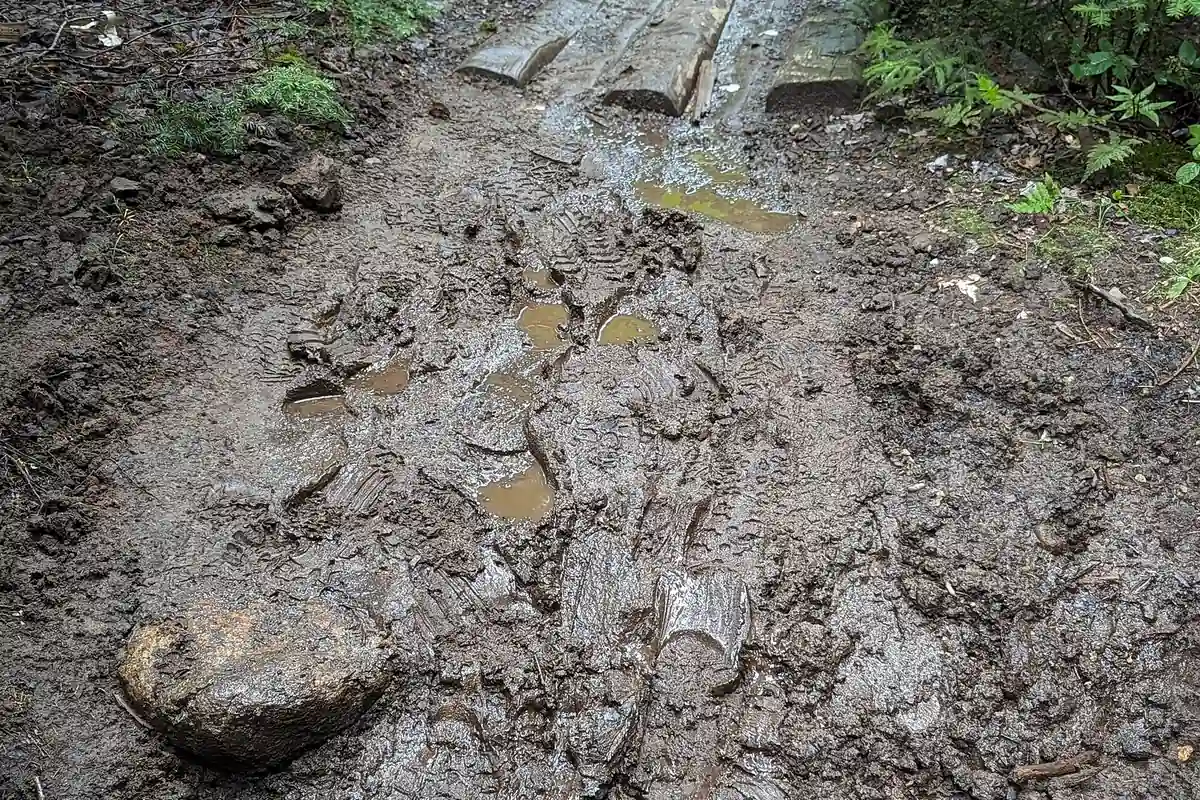
Current notices may describe washed bridges, beaver flooding, blowdown, or closed trail segments. Treat those reports as route constraints rather than challenges to bypass off trail.
When do Adirondack winter rules apply?
Snow, ice, wind, and short daylight can turn a familiar summer route into a technical winter day. Trailhead lots may be unplowed, phone batteries drain faster, and packed snow can become hard ice on steep slabs.
Skis or snowshoes are required in the High Peaks when snow depth reaches at least eight inches. The rule protects the trail surface and prevents deep postholes that can injure later users.
| Condition | Required response | Weak assumption |
|---|---|---|
| Eight inches or more of snow in High Peaks | Carry and use skis or snowshoes | Boots alone are acceptable on a packed track |
| Hard ice on steep trail | Use suitable traction and know its limits | Trekking poles replace traction |
| Unplowed trailhead | Use a legal reachable lot | A roadside snowbank is parking |
| Short winter daylight | Set an early turnaround and carry spare light | The descent will be faster because it is downhill |
| Severe summit wind | Remain below treeline or turn around | Trees lower down describe the summit exposure |
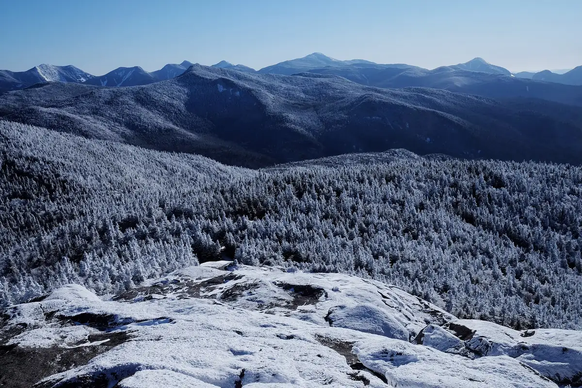
You should carry insulation for a stationary emergency, not only the heat produced while climbing. A sprain or navigation delay removes the movement that made a light clothing system feel warm.
How do water crossings change an Adirondack route?
The Adirondacks contain thousands of lakes and tens of thousands of miles of streams. Hiking routes cross wetlands, beaver flowages, bridges, and fords that can change after rain or spring melt.
You should treat natural water before drinking, even in a remote lake basin. A clear source can still contain pathogens, and cold water does not prove purity.
- Mark bridges, fords, and likely water sources on the unit map
- Read the latest notice for washouts and beaver flooding
- Carry enough water to bypass a contaminated or inaccessible source
- Treat collected water before drinking
- Turn around when a ford lacks a safe entry, exit, or downstream margin
- Keep dry insulation protected from rain and accidental immersion
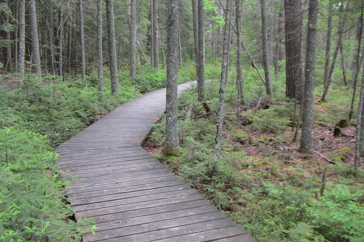
You should not invent a social trail around deep water. A closure or impassable crossing should lead to the named fallback rather than unmarked travel onto fragile or private ground.
After heavy rain, the safest comparison may be between two different watersheds rather than two nearby trailheads. Routes on the same side of a ridge can share saturated ground and high streams even when their names look unrelated.
Which High Peaks rules change an overnight plan?
The High Peaks Wilderness limits day groups to 15 and overnight groups to eight under current guidance. Camping on summits is prohibited, and camping above 3,500 feet is generally prohibited except at lean-tos.
The Eastern Zone prohibits campfires and requires bear-resistant canisters for overnight users from April 1 through November 30. Dogs must be leashed in the Eastern Zone and at trailheads, campsites, and above 4,000 feet elsewhere, while dogs are not permitted on Adirondack Mountain Reserve property.
- 15 peopleHigh Peaks day-group maximumLarge groups should split before arriving
- 8 peopleHigh Peaks overnight-group maximumOversize permits are not available
- 3,500 ftGeneral camping ceilingUse a lean-to exception only where allowed
- 4,000 ftDog leash threshold outside the Eastern ZoneOther location-specific leash rules still apply
- April 1 to Nov 30Eastern High Peaks canister periodStore all scented items inside the canister

At-large camping, where allowed, must generally sit at least 150 feet from roads, trails, and water unless a designated site applies. Use durable ground and never create a new campsite on vegetation simply because a lean-to is full.
Backcountry lean-tos are available on a first-come basis and cannot be held for one group. A full shelter does not authorize camping on fragile ground, above the elevation limit, or inside a prohibited setback.
You should carry a shelter even when the itinerary aims for a lean-to. It gives the group a legal option at a designated tent site and provides protection during an unplanned stop.
Keep the structure clean and do not attach nails, carve wood, or leave supplies for later. Food and scented items still belong in the required bear-resistant container rather than inside the sleeping space.
Campfires depend on the unit and zone. The Eastern High Peaks prohibits them, while another unit may allow them only under current conditions and at an established site.
Winter traction should match the surface expected above the trailhead rather than the bare pavement beside the car. Packed snow, hard ice, deep unconsolidated snow, and mixed rock each change which equipment works and how quickly the group can retreat.
You should also set a changeover point before cold hands or steep terrain make equipment adjustments awkward. Carrying traction in a buried compartment provides little help when the first icy pitch arrives.
How do you protect an alpine summit while staying safe?
The highest Adirondack summits support rare alpine plants in a very small area. Stay on exposed rock where directed and follow summit steward guidance so boots do not crush vegetation that survives wind, ice, and a short growing season.
Cloud can erase the next marker on an open summit even when the forest trail below is obvious. Keep the return bearing and last protected junction in mind before walking across exposed rock.
Lightning and wind require descent before the summit becomes the worst place to wait. A crowded summit does not provide shelter, and another group's decision to remain is not evidence that the exposure is safe.
Dogs need particularly close control around fragile plants and crowded ledges. Where dogs are allowed, keep them on durable surface and within the leash rules for the zone and elevation.
Do Adirondack trail registers replace a trip plan?
You should sign in and out at registers where provided, using enough route information to be useful. Rangers may consult a register during an incident, but it is not monitored as a live trip-tracking service.
An outside contact still needs the planned route, alternate, vehicle, clothing and equipment, group names, and overdue threshold. Update that person when the trailhead changes because a full lot can shift the group into another unit.
Phones may lose service inside valleys, and cold reduces battery capacity in winter. Carry offline navigation and spare power, then preserve the battery rather than using it continuously for photographs.
If a person is lost or injured, give the dispatcher the trail register name, last known landmark, direction of travel, time, clothing, and condition. Concrete location details help far more than the name of the nearest town.
Local weather observations can differ sharply between a village and an exposed summit. Check the high-elevation forecast, then carry enough protection for the group to wait during a rescue rather than only to keep moving.
When no signal is available, one person should not leave alone without a clear destination and return time. Stabilize the group, preserve shelter and light, and use the agreed emergency plan.
Sources
Park size, public-private ownership, and land classification came from the Adirondack Park Agency About the Adirondack Park and state-land guidance. Hiking notices, parking, mud, bear-canister, and trail-protection practices came from the New York State Department of Environmental Conservation Adirondack Backcountry pages.
High Peaks group, camping, dog, fire, snowshoe, and AMR access rules came from the NYSDEC High Peaks Wilderness Complex page. Information was verified August 24, 2026 and should be checked again before travel.
RespectHazards to plan for
- wet rock
- mud and flooding
- winter cold
- black bears
- parking pressure
- navigation loss