
Abol Trail: Boulder Climb, Weather Gates, and Baxter Peak
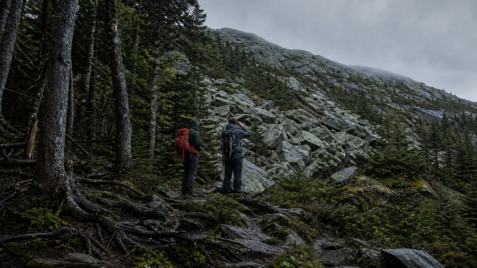
Abol Trail climbs about 3,982 feet from Abol Campground, joins Hunt Trail after 3.4 miles, and continues another mile to Baxter Peak. Large boulders, little upper water, exposed weather, and the full descent control the day.
Abol Trail is a direct Katahdin route, but its short map line concentrates almost 4,000 feet of gain into steep forest and exposed boulders. The named trail reaches Hunt Trail after 3.4 miles, then the summit still lies about one mile farther across the Tableland.
Plan the outing as an eight to twelve hour mountain day. Access, water, boulder movement, weather, and the entire descent must fit before Baxter Peak becomes a sensible objective.
Abol is direct, not easy
Abol is officially rated very strenuous. It saves horizontal distance compared with longer approaches, yet asks you to gain elevation rapidly and use your hands on large rock while preserving control for the same terrain on descent.
Direct does not mean easy. Choose Abol because your group moves competently on steep blocks and exposed mountain terrain, not because the number of miles looks modest.
How is the route divided from campground to summit?
The route divides into five practical segments, each changing what the group can still rely on. Forest provides the early water and shelter zone, the relocated ridge concentrates the steep climb, and the upper route becomes fully exposed after about 2.5 miles.
The Tableland is a junction rather than the summit. Abol joins Hunt Trail there, leaving about one final mile to Baxter Peak and the same mile back before the Abol descent begins.
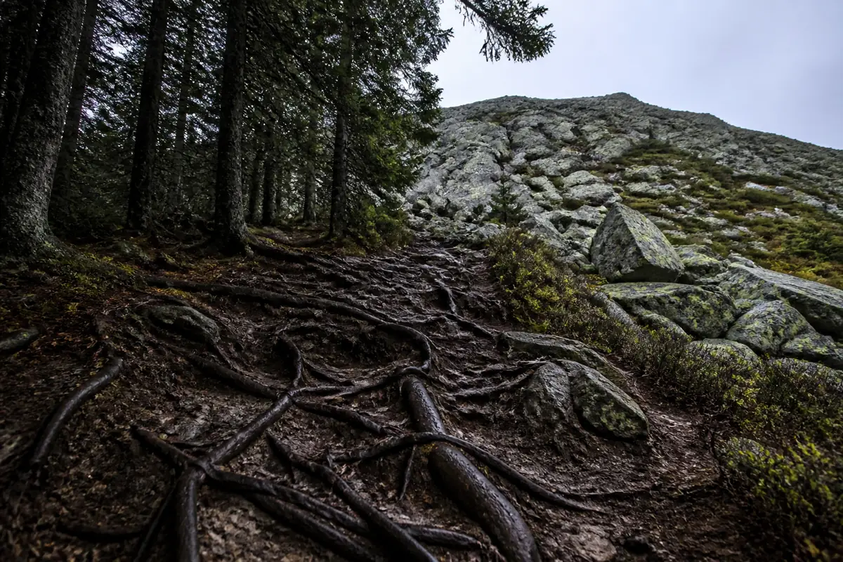
- 1. Leave Abol Campground on forest tread where roots, humidity, and early water define the pace.
- 2. Pass the first mile knowing that official guidance describes water beyond it as limited.
- 3. Follow the maintained relocated ridge as the grade steepens and large boulders demand deliberate movement.
- 4. Enter fully exposed terrain after about 2.5 miles, where wind, rain, and cloud have greater consequences.
- 5. Reach Hunt Trail on the Tableland, then reserve about one more mile for the summit and the same distance back.
Each boundary changes the cost of retreat because the group gives up water, tree cover, or a short return in that order. A pace problem noticed in forest is cheap to correct, while the same problem above the exposed boulders requires a longer and more technical descent.
The Tableland junction is a decision point, not proof that the hard work is finished. Check time, weather, water, temperature, and group movement before adding the summit mile.
Why was Abol Trail relocated?
Soil and rock movement increased hazards on the old Abol Slide line. Baxter State Park moved the maintained route to the ridge west of the slide in 2015, which means older descriptions and saved tracks may no longer match current tread.
Never improvise a shortcut onto the former slide during ascent or descent. Current markings control the route because a stale line can lead into unstable ground when visibility deteriorates.
How do you secure Abol trailhead access?
Katahdin access involves separate decisions that are easy to confuse. A Katahdin Trailhead Pass reserves day-use parking for a selected vehicle, while entrance fees, campground reservations, trail openings, and current conditions remain separate.
- Trailhead
- Abol Campground in Baxter State Park
- 2026 KTP reservation
- $10 per vehicle
- Vehicle detail
- Select the vehicle before viewing pass availability
- Separate cost
- Nonresident entrance fee is not the parking reservation
- Status check
- Confirm the mountain and Abol Trail are open before the drive
- Walk-up assumption
- Do not depend on an unreserved space
Use Baxter State Park's current reservation and condition pages rather than a secondary itinerary. If access is unresolved, select another day instead of building a long drive around parking that may not exist.
How hard are the boulders and steep tread?
Official descriptions call Abol steady, steep, and rocky. Large steps add balance and upper-body work that a gain profile cannot show, and descending those steps on tired legs may take as much care as climbing them.
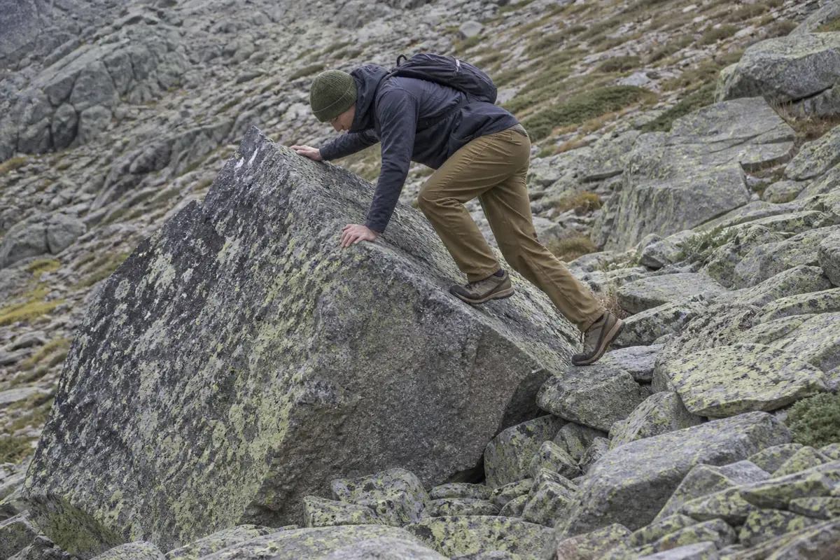
Three points of contact
Place hands and feet before shifting weight instead of lunging through a high step.
One mover at a time
Leave space so a slipped foot or dislodged rock does not strike the person below.
Test the hold
Load suspect rock gradually and avoid pulling outward on loose blocks.
Reverse the move
Before climbing a difficult step, look back and decide how you will descend it.
Pole management
Stow poles when they prevent secure hand placement. They do not solve large boulders.
This is steep hiking and scrambling rather than technical climbing, but that distinction does not make every move easy. If a member repeatedly loses balance or needs unsafe assistance, turn around while the group still has strength.
Where does water and shelter run out?
Baxter advises that water is limited after the first mile, and the route becomes fully exposed after about 2.5 miles. Carry the water you need instead of expecting an upper source, and do not drink untreated surface water merely because the day is hot.
| Zone | Resource change | Planning consequence |
|---|---|---|
| First forest mile | Water may be available, but flow and treatment needs vary | Start with a deliberate carry and use water treatment if collecting any surface water |
| Relocated ridge | Reliable refill options diminish | Protect the supply rather than drinking as though another source is assured |
| Above 2.5 miles | Trees no longer provide dependable shelter | Put on hiking rain protection before clothing becomes soaked |
| Tableland and summit mile | Wind and temperature loss can persist | Carry insulation and know the signs of hypothermia |
Warm weather increases water demand, while cold wind can hide it. Bring food that is easy to eat during brief stops because a long exposed break may chill the group.
How early should an Abol summit day start?
Baxter estimates eight to twelve hours for Katahdin summit hikes. Your start must account for park entry, the slowest group member, delays on boulders, changing weather, daylight, and the fact that nearly 4,000 feet of descent remains after the summit.
Protect the descent before committing upward
- Before entryConfirm parking, opening status, forecast, and group readinessThe day begins with access and conditions settled
- First mileCompare actual pace with the planned range while water and shelter remain nearbyAn early mismatch is cheap to correct
- Exposure pointRecheck cloud, wind, wet rock, clothing, food, and waterThe group enters open terrain with a real margin
- Tableland junctionApply a fixed turnaround time regardless of summit distanceThe final mile cannot consume the descent reserve
- DescentKeep light, food, and attention available for reversed boulder movesFatigue does not decide the route
Do not assume the descent will be fast because it loses elevation. On this trail, careful down-climbing and spacing can erase the time normally gained by walking downhill.
When should weather end the ascent?
The exposed upper route gives cloud, wind, rain, thunder, ice, and falling temperature more leverage. Wet or icy boulders reduce hand and foot security, while cloud can make the route and the safer retreat line harder to read.
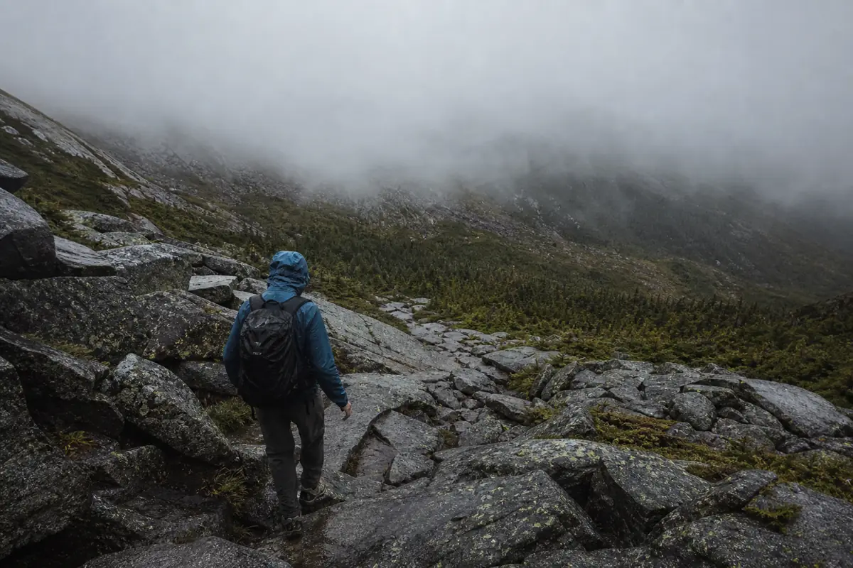
- - Turn around when cloud is closing the route you must reverse
- - Leave exposed ground when lightning safety conditions or thunder threaten the ridge and Tableland
- - Descend if wind repeatedly breaks balance or prevents clear communication
- - Retreat when rain or ice makes previously manageable holds insecure
- - End the ascent when anyone is cold, confused, unusually slow, or unable to eat and drink
- - Ignore summit traffic as evidence that conditions are safe for your group
Early descent preserves control. Waiting until everyone is soaked or cold makes the same boulders slower, riskier, and harder to navigate.
How do you protect the descent?
The summit is the midpoint of the physical problem. Abol's concentrated gain becomes concentrated loss, and boulder moves that felt intuitive upward can be awkward when reversed.
- 1. Eat, drink, add clothing, and check daylight before leaving the Tableland or summit area.
- 2. Follow current markings and reject any old Abol Slide track, even if it appears shorter.
- 3. Lower through large steps with three points of contact and keep people out of each other's fall line.
- 4. Recheck the route at every transition instead of following another group without confirmation.
- 5. Use an emergency shelter only when injury or conditions prevent safe movement. It is backup, not permission to exhaust the daylight margin.
- 6. Finish together at Abol Campground and report any trail hazard that could affect the next group.
If a hiking companion dog is part of your normal plans, verify Baxter's current rules and honestly assess large boulder movement before choosing this route. An animal that needs lifting can expose both handler and dog on steep rock.
Sources
Route and current status. Baxter State Park Katahdin trails and current conditions support Abol distance, large elevation gain, exposed terrain, expected time, route status, and closure checks, verified August 30, 2026.
Access. Baxter State Park reservations and fees support the current Katahdin Trailhead Pass, parking, vehicle, camping, and entrance planning, verified August 30, 2026.
Relocation. Baxter State Park Abol Trail relocation information supports the 2015 move away from the unstable old slide line and the need to follow current markings, verified August 30, 2026.
RespectHazards to plan for
- large boulders
- rockfall
- wet rock
- lightning
- low cloud
- limited upper water
- long descent