
Which Allegheny National Forest Hikes Fit Your Trip?
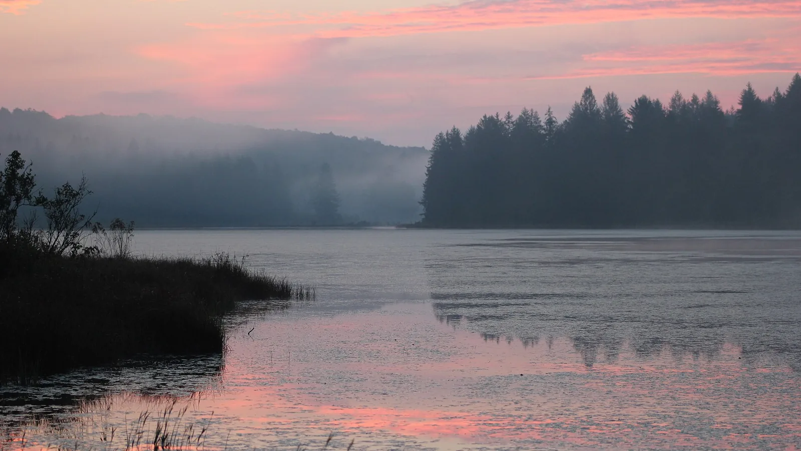
Choose an Allegheny National Forest trail system by reservoir or river district, trip length, legal camp, season, water, road access, and navigation needs.
Weather
Rain, humidity, leaf cover, high streams, wind, snow, and seasonal facilities shape routes more than high elevation.
Plan the practical details
- Access
- Reservoir, Marienville, Clarion River, Tionesta, and North Country Trail corridors use separate forest roads, recreation sites, and trail systems.
- Permits
- Most day hikes need no general permit, but fee sites, campgrounds, group use, forest orders, and specific activities have separate requirements.
Allegheny National Forest hiking is less about one signature summit and more about choosing the right landscape around the Allegheny Reservoir, Clarion River, old-growth pockets, long footpaths, and working forest roads.
A useful trip starts by matching the trail system to your desired distance, water access, camp style, and tolerance for wet footing.
The forest contains more than 200 miles of hiking trails, but those miles do not form one continuous park loop. Pick one trail system.
A ten-mile forest loop can be the harder choice when rain, creek crossings, leaf cover, and an unmarked road junction make the return uncertain.
Practical planning rule
You should also separate hiking trails from mountain-bike, snowmobile, equestrian, and multiuse networks. The map symbol and posted use at the trailhead decide whether a route fits a quiet walk, a backpacking loop, or a shared-use day.
What are the main hiking areas in Allegheny National Forest?
The northern reservoir country offers shoreline views, large rock outcrops, and connected recreation sites.
Jakes Rocks is a short overlook destination with a much larger bike network nearby, while Tracy Ridge provides interconnected foot travel on the western side of the reservoir.
The central forest around Marienville contains Minister Creek, Brush Hollow, Laurel Mill, and other loop systems. These routes emphasize forest, streams, rock formations, and practical overnight distances rather than a single high point.
The southern and eastern edges connect to the Clarion River corridor, Hearts Content, Tionesta, and longer through-travel on the North Country National Scenic Trail. Road approaches and services differ enough that crossing the forest for a second hike can consume much of a short day.
Reservoir country
Shoreline terrain, overlooks, connected campgrounds, and longer drives around water.
Minister Creek area
Compact loop options with rock formations, streams, and backpacking potential.
Hearts Content and Tionesta
Old forest character, shorter walks, and quieter road approaches.
Clarion River corridor
River access, wet low ground, developed sites, and seasonal road questions.
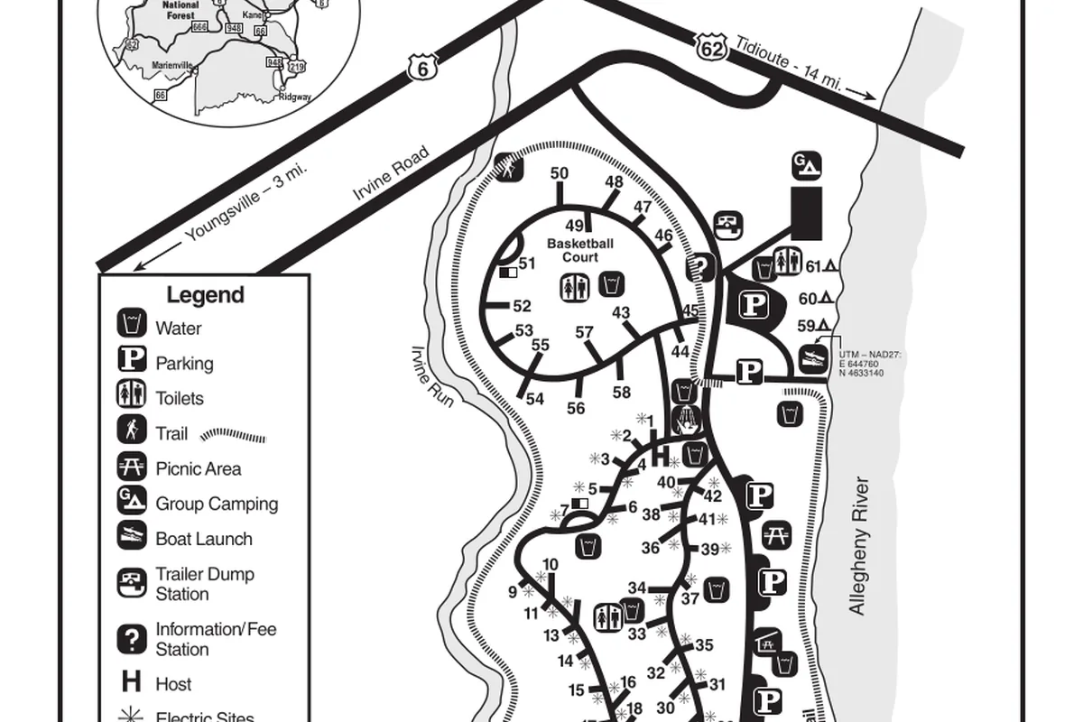
You should choose the district and road approach before selecting a campsite. This keeps the morning drive, current alerts, and fallback route inside the same practical area.
Which Allegheny trails fit a day hike or backpacking trip?
Short walks around Jakes Rocks, Beaver Meadows, Twin Lakes, and Hearts Content suit visitors who want a clear return and nearby facilities. They still include roots, wet leaves, uneven rock, and limited water at some trailheads, so an easy distance does not remove normal forest preparation.
The Forest Service brochure describes Minister Creek as a 10-mile loop that climbs from the campground to the plateau and briefly shares the North Country Trail. Its rock formations, creek valleys, limited mobile service, and legal camping choices can support a first backpacking trip rather than a short interpretive walk.
Tracy Ridge offers roughly 20 miles of interconnected trail system, plus access to about 10.7 miles of the North Country Trail inside the roadless area. That network supports several trip lengths, but abandoned grades and repeated junctions make careful tracking more important than chasing a single named summit.
The North Country Trail is the better fit for linear mileage. The official forest brochure divides 96.3 miles into road-to-road segments, including sections of 5.4, 6.0, 6.5, 9.0, and 10.4 miles, so a group can choose a measured segment instead of treating the whole crossing as one trip.
Its logistics are the hard part because the same vehicle cannot wait at two ends, and a road crossing does not guarantee legal overnight parking.
Use a loop when the group wants simple vehicle logistics, but inspect every crossing that closes the circuit. One damaged bridge can turn a compact loop into a long out-and-back, while a linear section needs a pickup plan that still works without mobile service.
| Route choice | Published scale | Best fit | Main planning friction |
|---|---|---|---|
| Beaver Meadows | 3-mile loop | Short forest and wetland walk | Seasonal facilities and wet tread |
| Brush Hollow system | Three loops totaling 7.7 miles | Half-day route with several distance choices | Shared use and junction tracking |
| Minister Creek | 10-mile loop | Full day or introductory overnight | Plateau climb, creek water, and limited service |
| Tracy Ridge and Johnnycake | About 20 miles of connected trails | Custom loop or multi-night route | Abandoned grades and intersecting loops |
| North Country Trail | 96.3 forest miles split into road sections | Linear backpacking segment | Vehicle placement and legal parking |
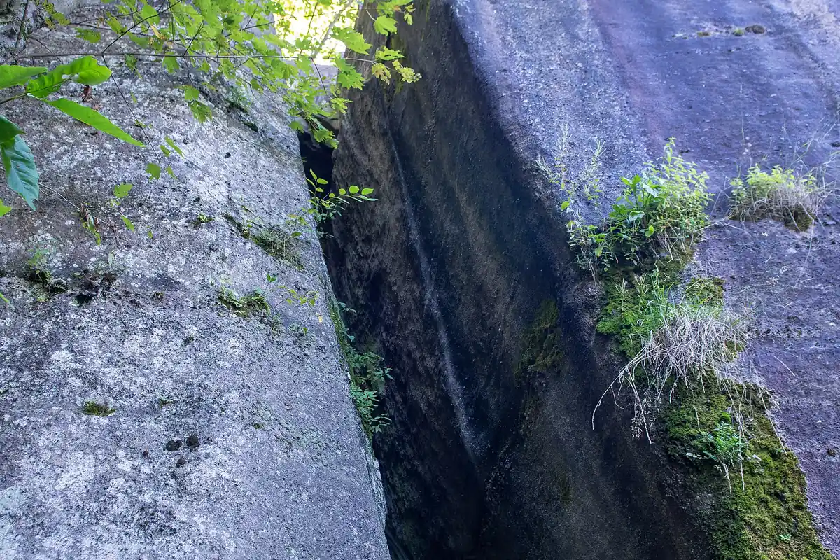
Do not judge the route by summit gain alone. Repeated creek hollows, small climbs, and a wet descent can make modest relief tiring late in the day.
Can you camp while hiking in Allegheny National Forest?
Yes, but developed campgrounds, designated dispersed sites, and backcountry camping are different systems.
A campground may accept reservations and provide water or toilets during its operating season, while a dispersed location can have no service and still be subject to a forest order.
Current forest orders restrict camping along some roads, waterways, and recreation corridors. You need the site-specific order rather than a general statement that national forests allow dispersed camping.
- Developed campground
- Marked site with posted season, fee, occupancy, and facility rules
- Dispersed roadside site
- Legal only where current orders and signs allow it
- Backcountry camp
- Reached on foot and selected under trail, water, and resource restrictions
- Reservation
- Applies to the named facility, not nearby dispersed ground
- Fire rule
- Can change with current restrictions even where camping remains open
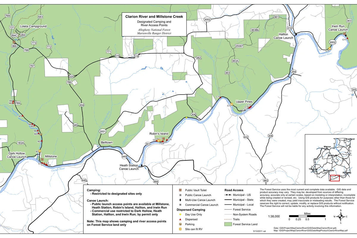
You should carry a shelter even when a lean-to or developed site appears on the map. A closed facility, occupied site, or delayed arrival should not force the group onto vegetation or into a prohibited roadside pullout.
For a backcountry night, identify a second legal camp before departure and record the distance from the last dependable water. This prevents an occupied site or dry creek from becoming a reason to camp too close to the trail or stream.
Do you need a permit or parking pass?
Most ordinary day hikes do not require a general hiking permit.
Individual fee areas, developed campgrounds, group sites, special events, and certain activities can still require payment, reservation, or authorization.
The correct question is whether the chosen trailhead or facility has a posted fee. Jakes Rocks, for example, lists no day-hiking permit or fee, while a nearby campground or day-use area can use a different system.
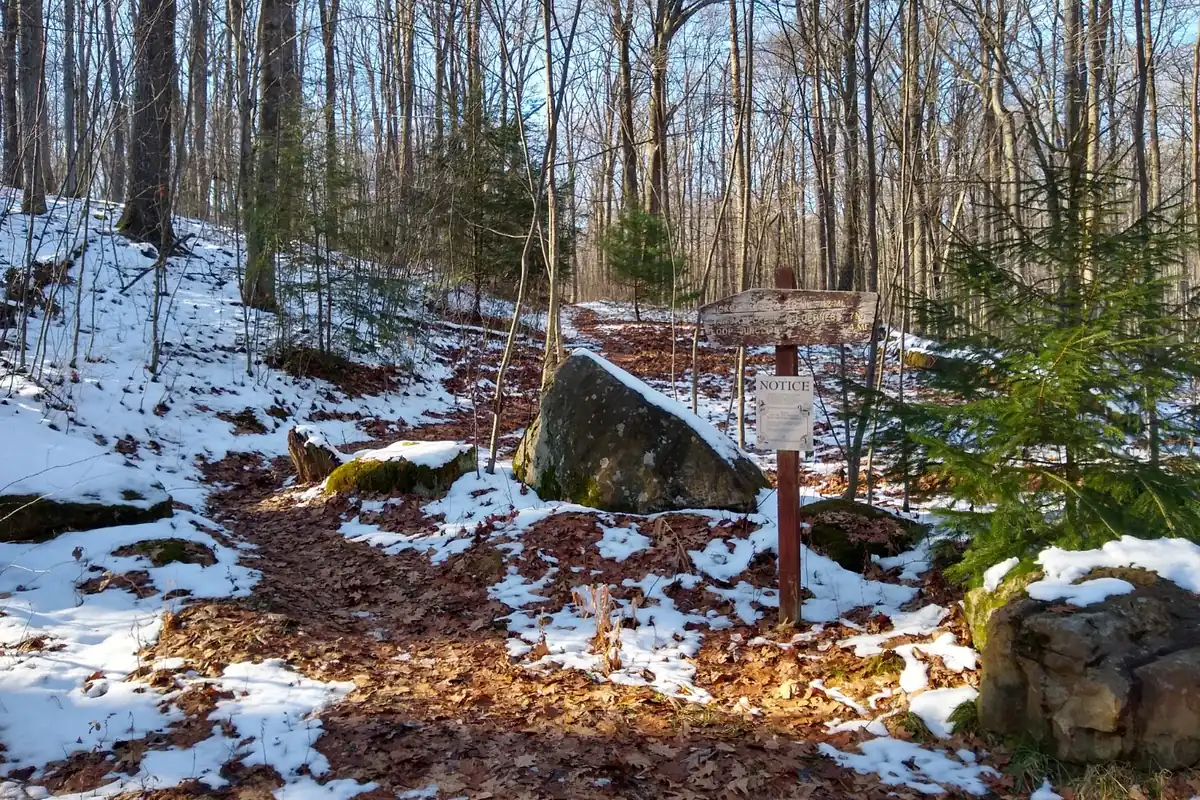
You should carry proof of any reservation and keep the vehicle outside gates, travel lanes, and signed no-parking areas. A quiet roadside shoulder is not automatically a legal overnight space.
When is the best time to hike Allegheny National Forest?
Late spring through fall provides the broadest mix of open facilities and snow-free trails.
Spring can be wet and muddy, summer brings humidity and ticks, and autumn combines cooler air with heavy leaf cover and popular color weekends.
Peak leaf color is not a fixed date. Elevation, rainfall, wind, and the specific part of the forest shift the display, while fallen leaves can hide roots, rocks, shallow holes, and trail edges.
Winter hiking is possible on routes with open road access, but developed facilities may close and parking may not be plowed. Snowmobile and cross-country ski use also changes which shared corridors are appropriate for walking.
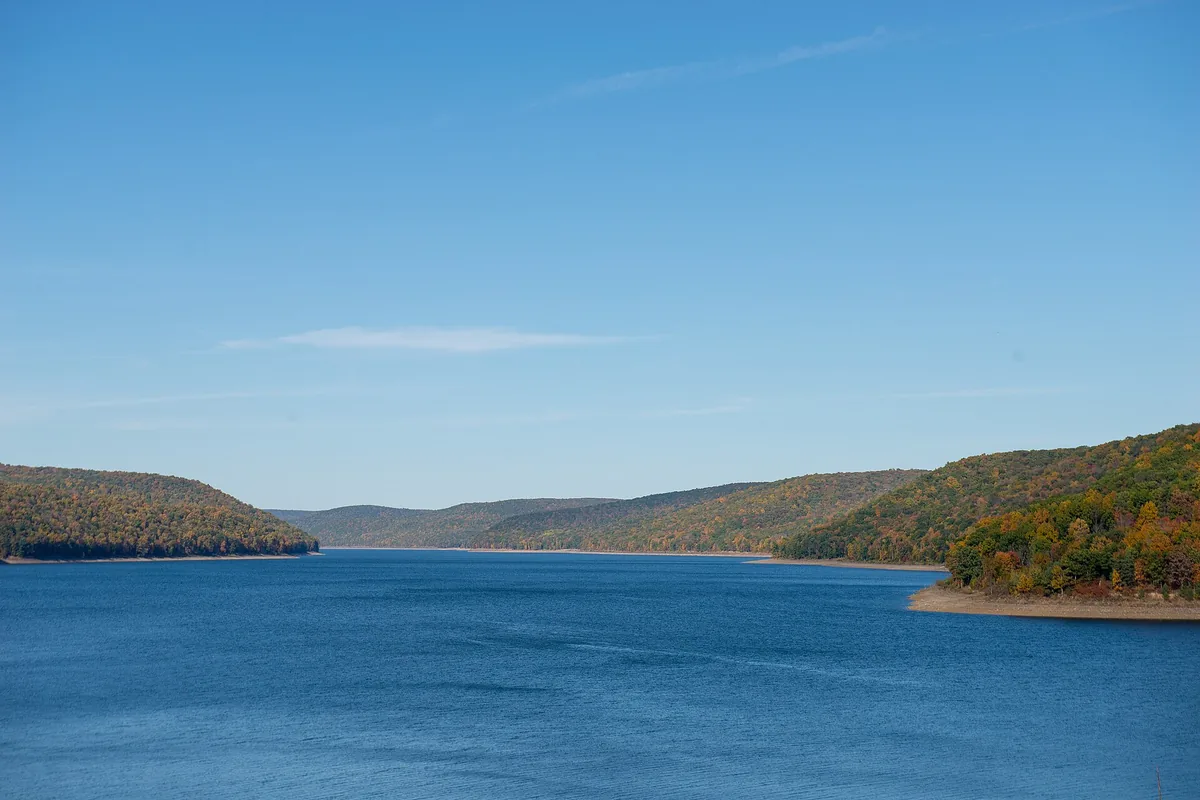
You should check both the weather forecast and the active-alert page. Wind damage, flooding, prescribed fire, construction, and seasonal gates can affect one system while another remains usable.
Spring favors short loops with several exit points because saturated soil and high creeks can slow every mile. Summer makes water and tick checks more important, while autumn shifts attention to hidden tread and drivers stopping along narrow roads for color.
Winter is primarily an access question. A trail can remain legally open while the approach road, gate, shoulder, or shared snow corridor makes the planned start impractical.
How reliable is water on Allegheny hiking routes?
The forest looks wet, but a mapped stream may be seasonal.
It may also be difficult to reach or downstream from a developed area, while trailhead taps operate only when the facility is open and the water system has been activated.
Carry enough water to reach a confirmed source, then filter or otherwise treat natural water. Brown color from tannins or clear flow over rock does not prove that a source is safe to drink.
- Mark every expected source and the distance between them
- Check whether campground water is operating on the travel date
- Carry a reserve that can cover a dry or contaminated source
- Collect upstream from obvious camps and road drainage when possible
- Treat all natural water before drinking
- Keep one dry camp option that does not depend on a creek-side site
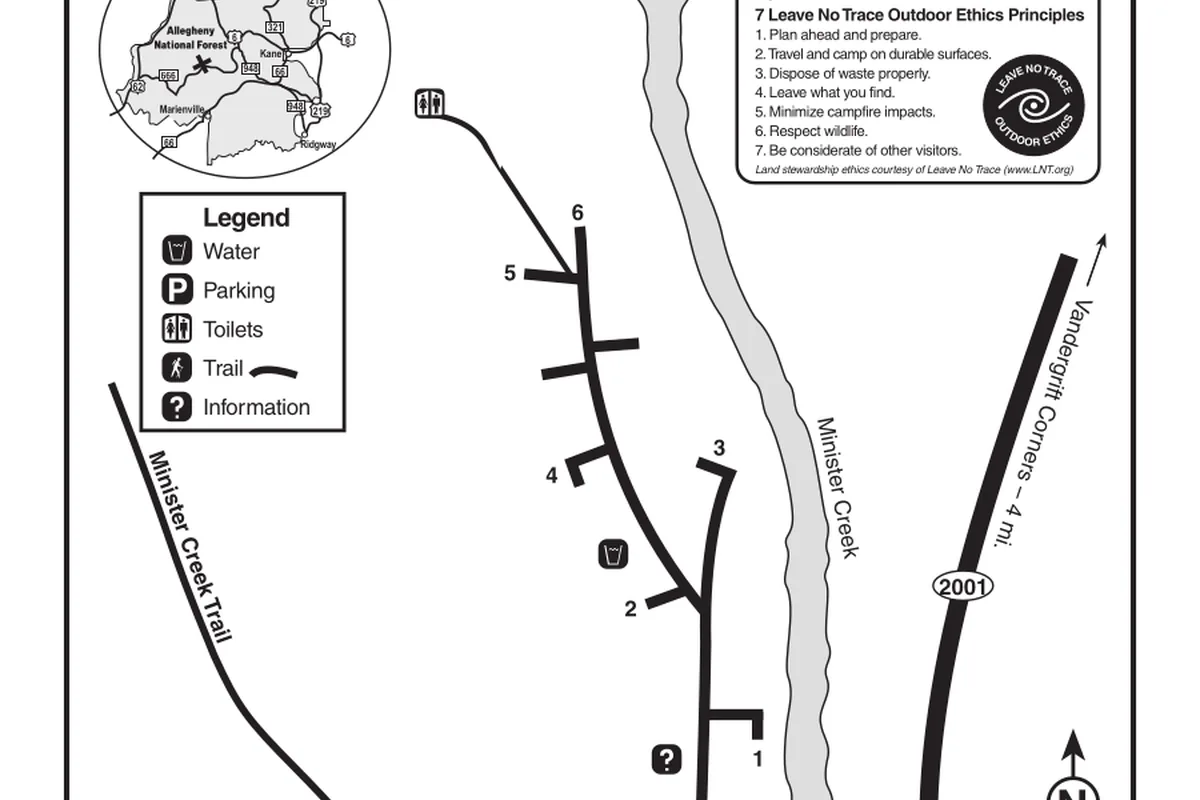
After storms, a familiar ford becomes the turnaround. Avoid creating a bypass through unstable banks or private land when the marked crossing is unsafe.
Water treatment does not solve every source problem. Agricultural or road runoff, stagnant pools, and a source below a busy campground may still be poor choices, so move upstream or carry enough to skip the questionable water.
What hazards deserve more attention than elevation?
Ticks, wet footing, falling limbs, black bears, hunting seasons, and navigation errors are more common planning issues than high altitude.
Dense canopy can make weather feel distant until wind or lightning reaches the ridge and trees begin dropping branches.
Low relief also encourages hikers to keep moving after pace begins to fall. Wet leaves, small creek climbs, and repeated junction checks accumulate slowly, so compare actual elapsed time with the map at each major crossing.
You should wear visible orange during applicable hunting seasons and confirm current Pennsylvania rules. Keep dogs controlled because wildlife, other trail users, and shared-use traffic can appear with little warning.
- Check for ticks during the day and after returning to camp
- Carry a paper or offline map for intersecting loop systems
- Avoid standing beneath damaged trees during high wind
- Store food and scented items securely away from the sleeping area
- Wear high-visibility color during hunting seasons
- Turn around at flooded crossings or a trail closed by an official order
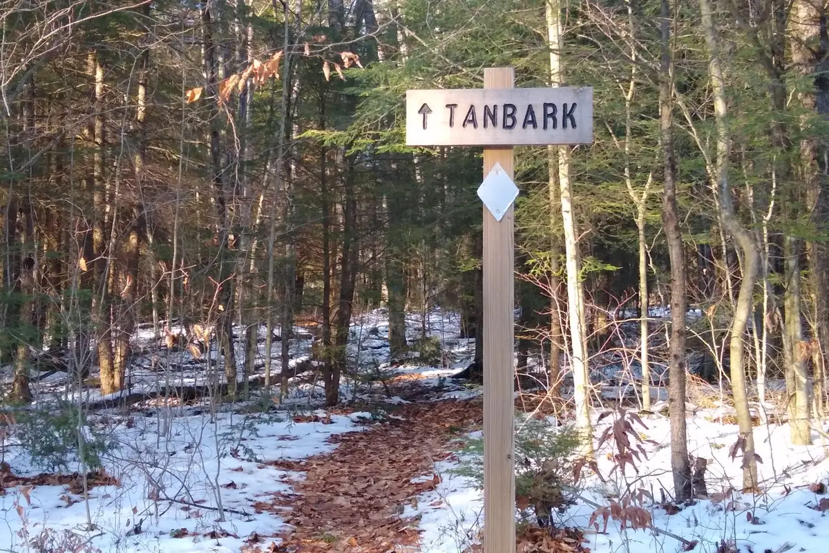
A black bear encounter usually calls for distance and calm behavior, not an attempt to approach for a photograph. Food discipline at camp reduces the chance that the next group meets an animal that has learned to seek people.
A reliable fallback changes roads or watersheds
You should choose a fallback in the same district but with a different failure mode.
A shorter loop beside the same flooded creek is not useful if both routes depend on the same bridge or access road.
You should record the trail system, vehicle, planned loop direction, camp location, and overdue time with an outside contact. Cell service is uneven, so the plan should remain understandable without live tracking.
A forest-specific backup
- Three days beforeRead active alerts and the exact recreation-site pageCurrent closures replace old trip reports
- Night beforeCheck rain, wind, road access, and facility statusThe backup responds to the actual forecast
- At the trailheadPhotograph the map and verify permitted usesThe group starts on the intended network
- At the first junctionConfirm marker color and loop directionA confident wrong turn is caught early
- At the turnaroundUse time and water thresholds, not destination pressureThe return keeps its daylight margin
If high wind, flooding, or a closure affects the chosen watershed, move to a developed short walk or postpone the hike. The fallback must avoid the original hazard rather than preserve the original mileage.
A useful fallback can be shorter without being less worthwhile. An old-growth interpretive loop may preserve the forest experience when wind, high water, or an unplowed road removes a remote backpacking objective.
Are dogs allowed on Allegheny hiking trails?
Dogs are allowed on many forest trails, but the specific recreation site, campground, seasonal order, and shared-use setting can add restrictions. For hiking with a dog, a leash remains the practical default near trailheads, camps, other dogs, horses, wildlife, and narrow overlooks.
Carry water for the dog rather than relying on creeks, and remove waste from developed areas and busy trail corridors. A dog that drinks from stagnant water or runs through thick brush also has more exposure to ticks and injury than the people on the path.
During hunting seasons, use visible equipment on both person and dog. If the route crosses an area with active hunters, noisy traffic, or an uncontrolled dog, turning around protects everyone better than testing recall under pressure.
Forest roads are part of the route
Trails may meet gated roads, active roads, old grades, and utility corridors that look similar on the ground.
A broad road is not automatically the correct route, and an unmarked shortcut can lead toward private land or a distant drainage.
At every road crossing, identify the road number, trail marker on the far side, and direction of travel before continuing. Photographing the junction helps on the return, but an offline map remains necessary when signs are missing or turned.
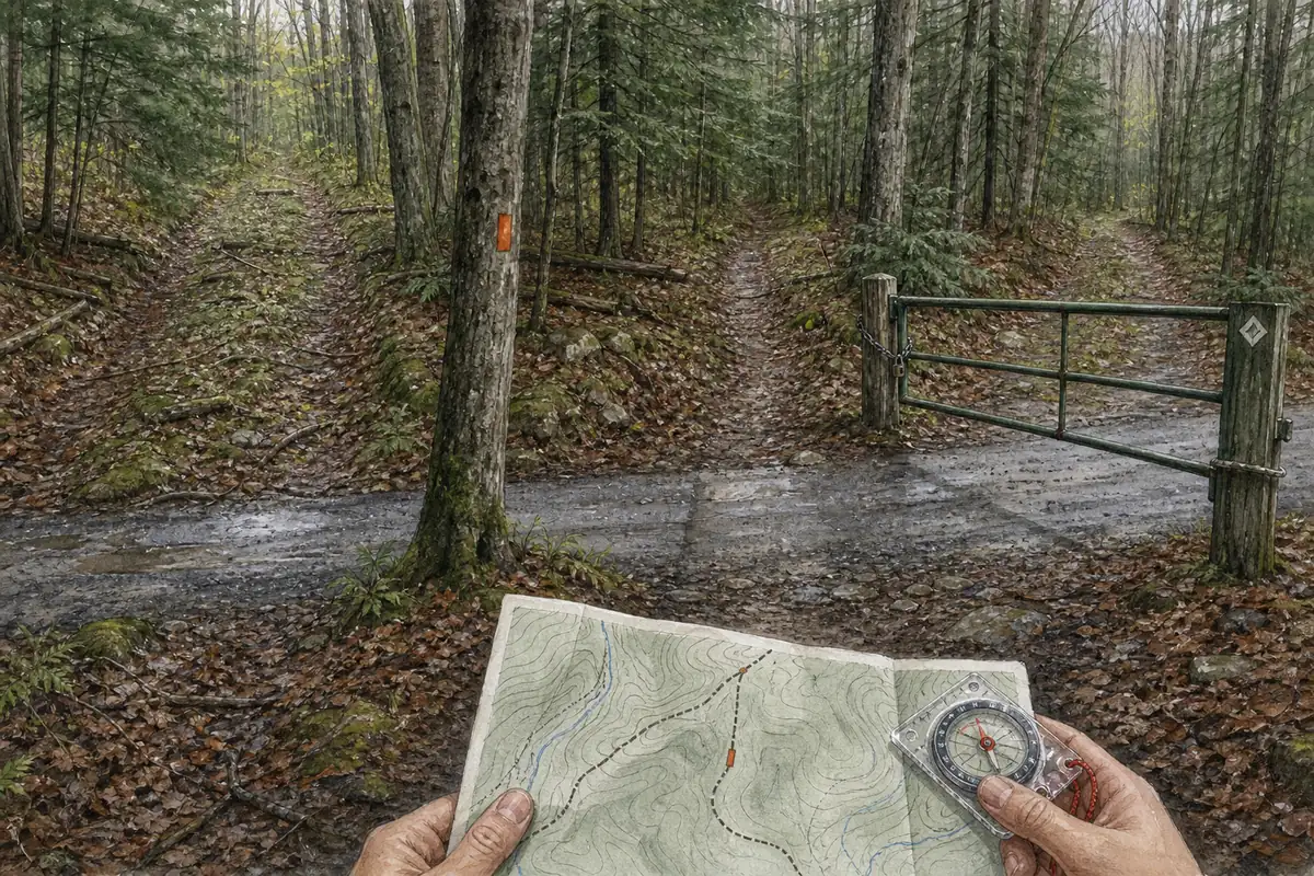
Forest roads can also close seasonally or after storms. A closure may add miles to the approach even while the foot trail remains open, so vehicle access belongs in the route distance rather than the driving notes.
Where a trail follows a road briefly, measure the distance to the next turn instead of walking until a marker appears. Similar gravel intersections are a common place to lose confidence and choose the most traveled surface rather than the mapped line.
Note whether the expected road is uphill, downhill, gated, or beside a drainage. Those physical clues let the group test the map against the ground before committing to a long wrong direction.
Carry a recreation map and a topographic map
Carry the Forest Service map for the selected recreation area and a topographic layer that shows roads, drainages, and public-land boundaries.
A phone screenshot of the loop alone cannot explain where a wrong turn leads.
You should download the map before driving and keep a paper backup in the group. Mark the vehicle, intended direction, water, camps, bailouts, and the road that emergency responders could use.
Trail marker colors can repeat in separate systems, so record the route name as well as the blaze. At an ambiguous junction, return to the last confirmed point instead of extending the error while searching for a familiar color.
Compass bearings between major roads and drainages provide a final check when every wooded slope looks alike.
A route note should identify the road or drainage that confirms the return, especially where old grades cross the marked trail.
Sources
Trail inventory, recreation-site status, fees, permits, water, and seasonal facility details came from the USDA Forest Service Allegheny National Forest recreation pages. The Forest Service pages for Jakes Rocks, recreation opportunities, and general forest orders supplied site examples and current rule boundaries.
The official North Country Trail and Tracy Ridge maps supplied segment mileage, camping boundaries, water cautions, roads, and junction context. Conditions, gates, fire restrictions, facility water, and active orders can change, so verify the exact district and recreation site before travel.
RespectHazards to plan for
- ticks
- wet footing
- falling limbs
- black bears
- hunting seasons
- navigation errors