
Great Smoky Mountains Hiking by Corridor and Elevation
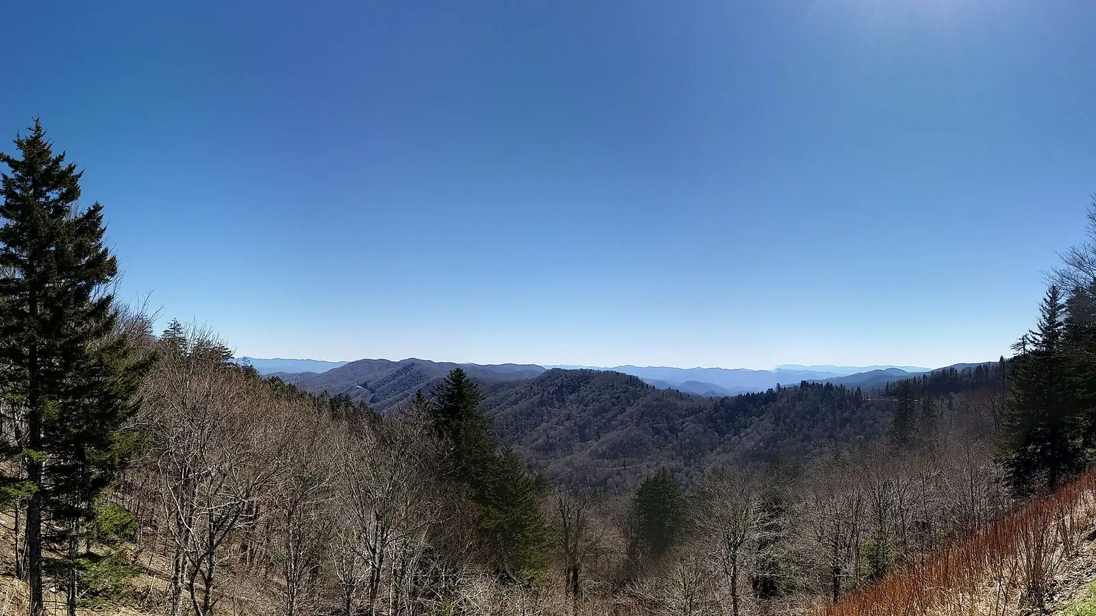
Plan Great Smoky Mountains hiking by road corridor, elevation, water, parking rules, wildlife, and the overnight base that serves the next trailhead.
Weather
Low valleys can be warm and humid while ridges above 6,000 feet are 10 to 20 degrees Fahrenheit cooler, windier, foggier, or icy.
Plan the practical details
- Access
- Separate valley and ridge corridors connect through slow mountain roads. Parking longer than 15 minutes requires a tag, which does not reserve a space.
- Permits
- No general entrance reservation. Backcountry nights require a permit and named campsite or shelter reservation; the vehicle may still need a parking tag.
Great Smoky Mountains hiking is organized by long valleys, high ridges, and roads that do not connect as quickly as the map suggests. A trail near Cades Cove, Newfound Gap, Greenbrier, or Deep Creek can demand a different approach to parking, weather, water, and the drive home.
You should choose the park corridor first, then choose whether the day is built around a ridge, waterfall, forest walk, or overnight route. That order keeps one full parking area or one flooded stream from breaking every part of the trip.
The trailhead is a timed resource. The park has no entrance fee, but parking for more than 15 minutes requires a valid parking tag.
| Decision | What applies | What it does not provide |
|---|---|---|
| Entering the park | No general entrance fee | A legal parking space |
| Parking 15 minutes or less | No parking tag required | Permission to remain after 15 minutes |
| Parking longer than 15 minutes | Daily, weekly, or annual parking tag | A reserved or guaranteed space |
| Frontcountry campsite | Campground reservation and fee | Parking away from the registered campsite |
| Backcountry night | Permit and campsite reservation | Exemption from the parking-tag rule |
Why does free entry still require a Smokies parking plan?
Great Smoky Mountains National Park does not charge a general entrance fee. The parking-tag system is separate, and every vehicle parked for more than 15 minutes needs a tag displayed according to the current instructions.
A tag confirms payment, but it does not reserve a space. Popular trailheads can fill before the hiking day begins, especially around Alum Cave, Laurel Falls, Newfound Gap, Cades Cove, and the busiest waterfall routes.
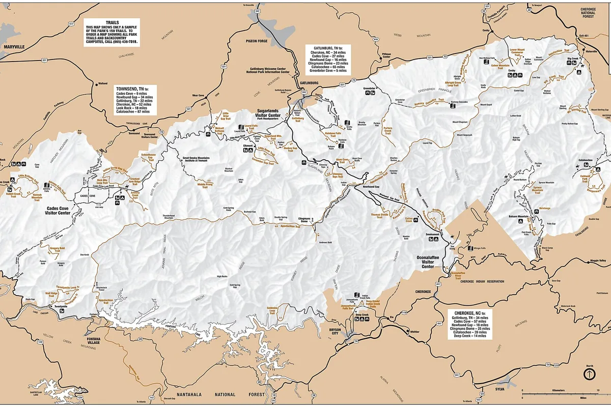
Buy the tag before losing reliable service and write the vehicle information correctly. Keep one alternate trail in the same corridor so a full lot does not trigger a long cross-park drive.
A parking-aware hiking morning
- Night beforeBuy or confirm the parking tag and save two same-corridor routes offlinePayment and route details remain available without cell service
- At the approach roadCheck current closures and traffic before passing the last easy turnaroundA road problem does not become a trailhead queue
- Lot fullContinue to the named alternative or use a permitted shuttleThe vehicle stays out of travel lanes and fragile shoulders
- ReturnLeave time for the mountain road and wildlife traffic after the hikeFatigue is not compounded by a rushed dark drive
You should not wait in a roadway or create a space on vegetation. A legal fallback should preserve the desired terrain while changing the failed access point.
Which type of Smokies hike fits your day?
The Smokies contain more than 800 miles of trails, so a list of famous hikes is less useful than choosing a route family. Ridge walks trade shade for views and fast weather changes, while waterfall routes concentrate wet rock, stream crossings, and crowded stopping points.
Forest loops can be physically demanding even when views are limited. Repeated roots, mud, and rolling elevation use energy differently from a steady climb on a drier ridge.
High ridge
Broad views and cooler air, with wind, fog, lightning exposure, and a longer retreat from shelter.
Waterfall approach
A clear destination, with slippery rock, crowding, and dangerous temptation to climb beside the falls.
Old-growth forest
Shade and biological detail, with roots, mud, stream crossings, and fewer distant navigation cues.
Cove and historic landscape
Gentler grades and cultural sites, with road congestion and wildlife stopping traffic.
Long backcountry route
Greater solitude and connected trail mileage, with permit, campsite, water-treatment, and food-storage obligations.
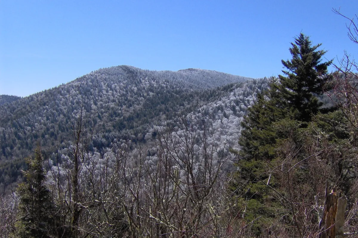
You should choose for the least experienced hiker and the slowest expected pace. A route is a poor fit when the group can complete the first half only by consuming the time, water, or leg strength needed for the return.
The Appalachian Trail crosses the park's high spine, but a short encounter with it is not the same as a prepared overnight itinerary. Day hikers still need a turnaround that accounts for fog, temperature, and the descent to the parked vehicle.
How much does elevation change Smokies hiking weather?
The park rises from low valleys to peaks above 6,000 feet. Temperatures at the highest elevations can be 10 to 20 degrees Fahrenheit cooler than in nearby low country, and cloud, wind, or ice can arrive while Gatlinburg or Cherokee remains mild.
Newfound Gap and Kuwohi provide quick vehicle access to high terrain, which can make the exposure feel easier than it is. A paved approach does not warm a wet hiker or create shelter on an open ridge.
- Low valleys
- Earlier spring growth and warmer summer conditions
- High ridges
- Cooler temperatures, stronger wind, cloud, and possible ice
- Afternoon summer
- Frequent shower and thunderstorm development
- Autumn
- Shorter daylight and heavy foliage traffic
- Winter
- Seasonal road closures, snow, ice, and hidden trail surfaces
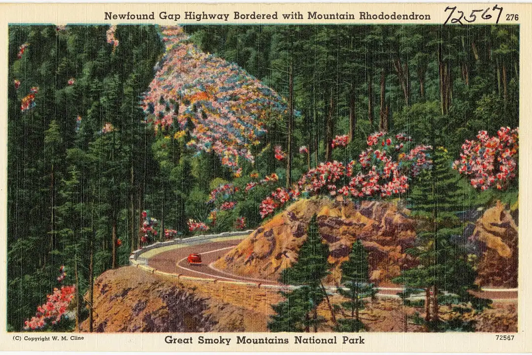
You should carry a warm layer and rain shell where they can be reached without unpacking the whole bag. If cloud removes the next landmark, stay on the maintained trail instead of following an unofficial track across vegetation.
Thunder should move a group away from exposed ridges before the storm arrives overhead. A lower forest alternative changes both the elevation and the lightning consequence.
Can you climb on waterfalls in the Smokies?
Water is one of the park's strongest attractions and one of its most serious hazards. Rocks beside waterfalls and fast streams can carry algae, spray, and polished surfaces that offer little reliable friction.
You should never climb to the top or side of a waterfall. A viewpoint railing or established trail end marks the useful destination even when another visitor has scrambled beyond it.
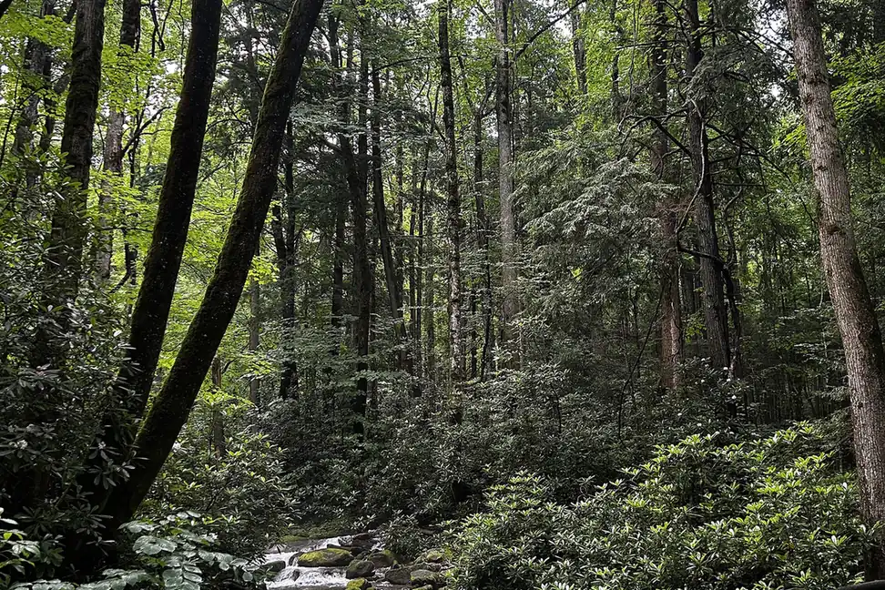
Turn around when a crossing is deeper, faster, or less visible than the group planned for. Crossing upstream or removing footwear does not fix force, cold, or an uncertain riverbed.
You should treat natural water before drinking it. Clear mountain water can still carry organisms, while high flow can make a planned source difficult to reach safely.
How much space should you give bears in the Smokies?
Black bears live throughout the Smokies, including developed areas. Stay alert in dense vegetation, around berry-producing plants, near streams, and wherever wind or water makes the group hard to hear.
You should keep the group together and give any bear a clear way to leave. Never approach for a photograph, feed wildlife, or abandon food and a pack as a distraction.
- Keep food, rubbish, cookware, and scented items under control
- Make regular human-voice noise where sight distance is short
- Back away without running when a bear has not approached aggressively
- Carry EPA-registered bear spray where you can reach it, not inside the pack
- Report unusual bear behavior or a bear in a developed area to a ranger
- Review bear encounter actions before the trip
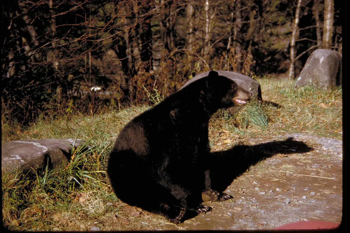
Elk also require distance and can charge when crowded, especially during calving or rutting periods. A vehicle pullout or trail does not give people priority over an animal already using the space.
When is the best time to hike the Smokies?
Spring brings wildflowers, rising streams, rain, and large temperature differences by elevation. Summer gives long daylight and full forest shade, but humidity, thunderstorms, heat in the valleys, and busy roads shape the day.
Autumn offers cool hiking and foliage with the park's heaviest traffic pressure. Winter opens quiet views through bare trees while snow, ice, road closures, and short daylight reduce route choice.
| Season | Useful hiking character | Main constraint | Better planning move |
|---|---|---|---|
| Spring | Wildflowers, waterfalls, and emerging forest | Rain, high streams, mud, and cold high ridges | Choose crossings conservatively and carry layers |
| Summer | Long daylight and shaded forest | Humidity, thunderstorms, valley heat, and crowds | Start early and leave exposed ridges before storms build |
| Fall | Cooler air and foliage | Slow roads, full parking, and short days | Stay in one corridor and protect the return window |
| Winter | Quiet trails and open views through trees | Ice, snow, closed roads, and limited services | Use lower routes after checking road and trail status |
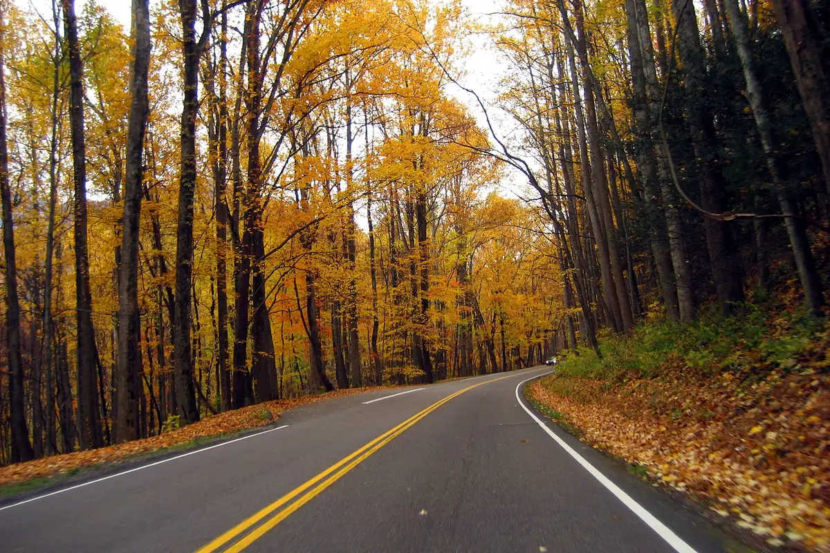
The best season is the one that supports the chosen corridor and surface. A waterfall goal depends on stream safety, while a ridge goal depends more heavily on cloud, wind, thunder, and ice.
Do you need a permit to backpack in the Smokies?
Every backcountry overnight stay requires a permit and advance campsite or shelter reservation. Beginning April 30, 2026, new permits use Recreation.gov, with current fees and availability shown during booking.
The permit authorizes named overnight locations and dates. It does not exempt the vehicle from the parking-tag rule, make a full trailhead lot available, or guarantee that a bridge, stream, or road remains open.
Build a permit-ready Smokies itinerary
- Before bookingCheck current closures, realistic mileage, and the road serving each trailheadThe reserved sites remain physically connected
- At reservationSelect only nights the group can reach with overnight weightCampsite availability does not set fitness
- Before departureConfirm parking tag, weather, food storage, and water treatmentThe permit and trailhead plan agree
- At each campSecure food and scented items using the required systemWildlife does not receive a food reward
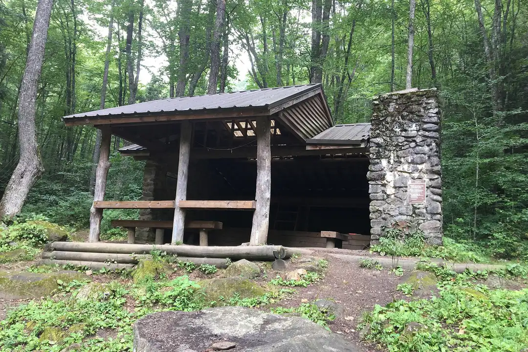
The 2026 fee change adds a nonrefundable permit fee while keeping the per-person, per-night charge. Verify the amount during reservation because fees and systems can change after publication.
Comparing backpacking with day hiking matters here because the night adds food storage, campsite timing, water treatment, a heavier climb, and a longer response to injury.
You should keep a day-hike fallback in the same corridor. If the overnight route loses a bridge, campsite, or safe crossing, the permit should not pressure the group into continuing.
Where should you stay for an early Smokies hike?
Frontcountry campgrounds sit in different valleys and do not function as interchangeable bases. Elkmont favors Little River and Gatlinburg-side access, Cades Cove serves the western cove, Smokemont sits near Cherokee and Newfound Gap Road, while Deep Creek begins outside the park's main cross-mountain traffic pattern.
Match the campground to the next morning's first trailhead. A site that looks central on a regional map may still require a slow drive behind wildlife traffic or across a mountain gap.
Elkmont
Useful for Little River, quiet forest walks, and the Tennessee side without beginning in downtown Gatlinburg traffic.
Cades Cove
Best when the cove and western trailheads are the main objective, with a one-way loop road that can move slowly.
Smokemont
A North Carolina base near Cherokee and the southern end of Newfound Gap Road.
Deep Creek
Waterfall and creek access near Bryson City, separated from the park's busiest central approaches.
Cosby
A quieter northeastern base for long forest and ridge routes, far from Cades Cove and Deep Creek.
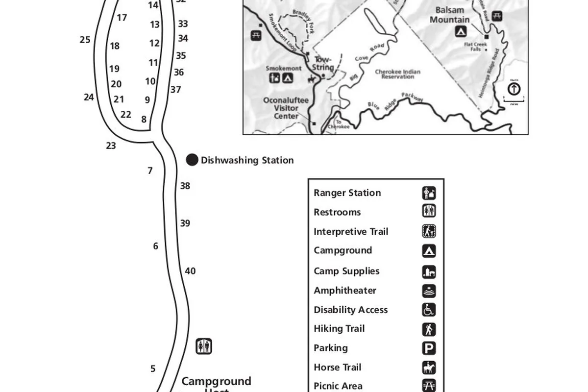
A frontcountry campground reservation covers the registered campsite and its associated vehicle under the current parking policy. It does not allow the same vehicle to park at another trailhead all day without the required tag.
Store food and scented items according to campground rules whenever they are not in immediate use. A cooler left outside overnight can reward a bear even when the campsite feels busy and developed.
Lodging outside the park can be the better base when the route depends on an early shuttle or when every suitable campground is full. Put the entrance drive inside the schedule and settle fuel, breakfast, water, and the parking tag before joining mountain traffic.
Do not sleep in a pullout, trailhead, or roadside area. When no legal site remains, move to lodging or camping outside the boundary under that land manager's rules.
The morning plan should begin at the weakest dependency. Recheck the road, parking, stream level, and ridge weather before leaving camp, because proximity cannot make a closed bridge or unsafe crossing usable.
Keep one low-commitment walk close to the overnight base. It protects the day when weather or access removes the longer route without requiring another cross-park drive.
Campground quiet hours and generator rules protect a crowded valley after dark, but they do not eliminate wildlife movement. Keep a headlamp within reach for every walk to water, restrooms, or a bear-proof storage area.
Rain changes the campsite as well as the trail. Tent placement should avoid drainage depressions, and the next day's clothing should remain dry even if the outer shelter leaks or condensation builds overnight.
Frontcountry camping also changes the emergency plan. Write down the campground name, loop, site, vehicle, trailhead, and overdue time so an outside contact can distinguish a late hiker from a group simply delayed on a mountain road.
If the group uses a shuttle for a popular trail, confirm whether it returns to the campground, a visitor center, or a town pickup. A one-way ride is useful only when the final connection remains available after the descent.
Treat the first evening as a planning checkpoint. Walk the campground, locate water and food storage, review the morning road, and agree on the fallback while everyone is rested.
Place wet boots and rain gear where they can dry without attracting wildlife or blocking the tent exit. A small camp routine preserves the clothing, light, and food needed when the hiking plan changes before dawn.
Confirm that every hiker can name the campground and site before leaving for the trail, since one separated person may return without the vehicle driver or the only phone.
Cades Cove needs an extra timing check because its loop road is one-way and can close to vehicles for scheduled bicycle and pedestrian access. Entering the loop without checking that schedule can remove both the planned trailhead and the expected drive-out time.
Newfound Gap Road is the park's principal cross-mountain connection, yet a closure there separates the Tennessee and North Carolina sides rather than creating a small detour. A same-corridor fallback is stronger than a second choice that depends on crossing the gap.
Deep Creek, Cosby, and Greenbrier can protect a day from central-park traffic, but each puts the group near a different edge community and road network. Set fuel, food, medical access, and the overdue contact around that actual exit instead of using Gatlinburg as the default reference point.
The parking map also helps an outside contact understand the plan. Record the named entrance, trailhead, vehicle, route, turnaround, and expected exit road because “hiking in the Smokies” covers too much ground to guide a useful response.
A high trailhead can shorten the climb while increasing weather exposure from the first step. When Newfound Gap or Kuwohi is already in cloud, the group should decide whether the route still works without a view and whether every hiker has clothing for a wet, cooler return.
Low-elevation alternatives do more than reduce wind. They can keep the group below ice, preserve a safer stream approach, and shorten the drive after a high road closes, although warm valleys may require more water and an earlier summer start.
The useful fallback changes only the failed dependency. A full Alum Cave lot should lead to another same-corridor objective, while unsafe ridge weather should lead to lower terrain even when parking remains available.
You should put both fallbacks on the trip note before departure. That keeps a traffic decision from becoming an improvised route and lets the outside contact understand why the group may return from a different trailhead.
Sources
Parking rules and current fee boundaries were checked through the National Park Service Fees and Passes guidance. Hiking choices and safety details came from the official Hiking, Hiking Safety, and Your Safety pages.
Backcountry reservation and 2026 fee information came from the NPS Backcountry Camping page and the April 29, 2026 fee-change notice. Conditions were verified August 24, 2026 and should be checked again before travel.
RespectHazards to plan for
- slippery waterfalls
- fast streams
- black bears
- thunderstorms
- fog
- winter ice