
Joshua Tree Hiking by Heat, Water, and Desert Zone
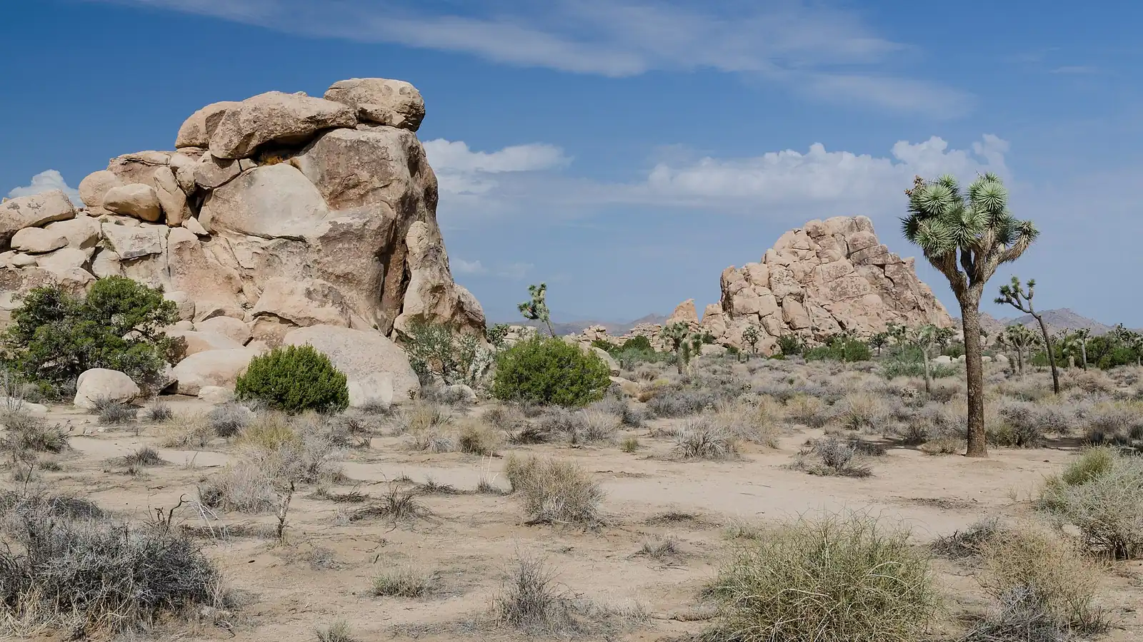
Plan Joshua Tree hiking by desert zone, heat window, water carry, navigation, rock consequence, permits, and the road that gets you back out.
Weather
Cool-season days can still be dry and exposed. Summer heat is extreme, nights cool quickly, and monsoon storms can create lightning and flash flooding.
Plan the practical details
- Access
- Three main entrances serve two desert ecosystems and widely separated trail groups. The interior has no food, fuel, or dependable drinking water.
- Permits
- No general timed-entry reservation. Entrance fees apply, campgrounds have separate reservations, and overnight backcountry travel requires a permit.
Joshua Tree hiking changes more with temperature, elevation, and water access than with the distance between attractions.
The same park road crosses the higher Mojave Desert, the lower Colorado Desert, boulder fields, washes, and exposed ridges without creating shade or reliable water between them.
You should plan the season and time window before choosing mileage. Then keep the hike, water carry, campground, and exit on the same side of the park whenever possible.
Summer is a different activity plan. These scores summarize hiking suitability rather than scenery, and every day still requires a current forecast.
Which Joshua Tree entrance reaches the hiking you want?
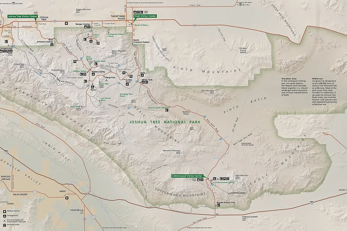
Joshua Tree National Park sits where the higher Mojave Desert meets the lower Colorado Desert.
Joshua trees and granite boulder fields dominate much of the north and west, while the lower Pinto Basin and Cottonwood area are hotter, more open, and filled with different plant communities.
That elevation difference changes temperature and driving time. A tolerable morning near Black Rock can become a severe afternoon in the lower desert before the group has begun walking.
West Entrance and Hidden Valley
Joshua tree woodland, boulder loops, climbing areas, and the park's busiest approach from the northwest.
Black Rock
Higher campground and trail network near Yucca Valley, reached without driving through the central park road.
Twentynine Palms and North Entrance
Access to Oasis of Mara, Fortynine Palms, and the northern end of Park Boulevard.
Pinto Basin
Broad lower-desert driving with little shade and long distances between developed areas.
Cottonwood
Southern entrance, campground, water station, fan-palm hiking, and the park's hottest major trail zone.
You should choose one or two adjacent zones for a hiking day. Driving from Black Rock to Cottonwood can consume the cooler window that made either route reasonable.
The northwestern entrances carry the heaviest congestion on busy weekends and holidays. Entering from the south can avoid one queue, but it also commits you to a long drive through hotter low desert before reaching the central boulders.
When is it too hot to hike in Joshua Tree?
From April through September, temperatures can exceed 85 degrees Fahrenheit, with July and August producing the most severe heat.
The National Park Service advises starting before 10 a.m. or after 4 p.m. and carrying at least one gallon of water per person per day.
That gallon is a daily starting point, not a promise that a long exposed hike is safe. Duration, effort, group size, and the distance to a confirmed refill still determine what must leave the vehicle.
- 1 gallonMinimum daily water guidance per personMore may be needed for exertion and heat
- Before 10 a.m.Preferred start window in hot conditionsLong routes should finish before peak heat
- After 4 p.m.Cooler activity windowDarkness and navigation still limit route complexity
- 85 F plusHeat concern from spring through early fallLower desert can be much hotter
- Very limited serviceCellular coverage inside the parkMaps and trip details must work offline
Drink when thirsty and eat enough food, including salty snacks during prolonged sweating. Dizziness, weakness, headache, nausea, cramps, or declining coordination should end the activity and begin cooling.
Heat exhaustion can progress when the person remains in the heat. Confusion, collapse, or abnormal behavior can indicate heatstroke, which requires emergency cooling and emergency help.
Turn around before half of the usable water is gone. Reserve enough for delays and the drive to a working fill station.
Why are Joshua Tree trails harder to navigate than they look?
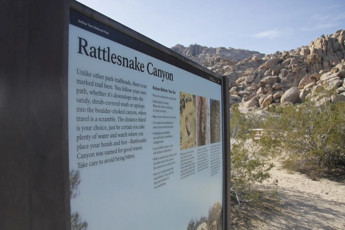
Some Joshua Tree walks follow short signed loops, while longer routes cross washes, open desert, old roads, and rock fields with fewer reliable landmarks. A boot track can separate from the intended route without looking obviously wrong.
You should download the route before entering the park and carry a paper map. A phone with no signal can still show stored GPS, but heat, battery drain, and impact can remove that single navigation tool.
| Route family | Surface and navigation | What should change the choice |
|---|---|---|
| Nature loop | Signed path, compact distance, frequent visitors | Heat, accessibility, and crowding |
| Boulder loop | Sand, stone steps, rock edges, and multiple social paths | Footwear, supervision, and route attention |
| Peak trail | Sustained climb with open sun and distant views | Temperature, wind, turnaround time, and descent energy |
| Wash route | Broad drainage with subtle junctions | Flash-flood forecast and offline navigation |
| Backcountry traverse | Long waterless distance and limited rescue access | Permit, water cache rules, transport, and route-finding skill |
You can use the first half mile to test the group. Early navigation confusion, stumbling in deep sand, or faster-than-planned water use is evidence to shorten the route while the road remains close.
If someone becomes lost, stop before turning one uncertain position into a moving search area. Stay findable, conserve energy, and use the emergency plan rather than scattering the group.
Can flash floods happen under a clear Joshua Tree sky?
Summer monsoon storms can bring heavy rain, lightning, wind, hail, and flash flooding. Water can reach a wash from a storm that the group cannot see from the trail.
You should never enter or remain in a drainage when storms threaten its watershed. Move to higher ground before water arrives rather than trying to outrun a visible surge.
When desert weather changes
- Clouds buildingCheck radar and the whole watershed, not only the sky aboveA distant storm is treated as part of the route
- Thunder heardLeave exposed ridges, isolated high rocks, and open viewpointsThe group moves before lightning is overhead
- Rain beginsExit washes and low road dips for stable higher groundFloodwater does not control the escape
- After the stormRecheck road closures and unpaved access before drivingA dry trailhead does not prove the exit road is open
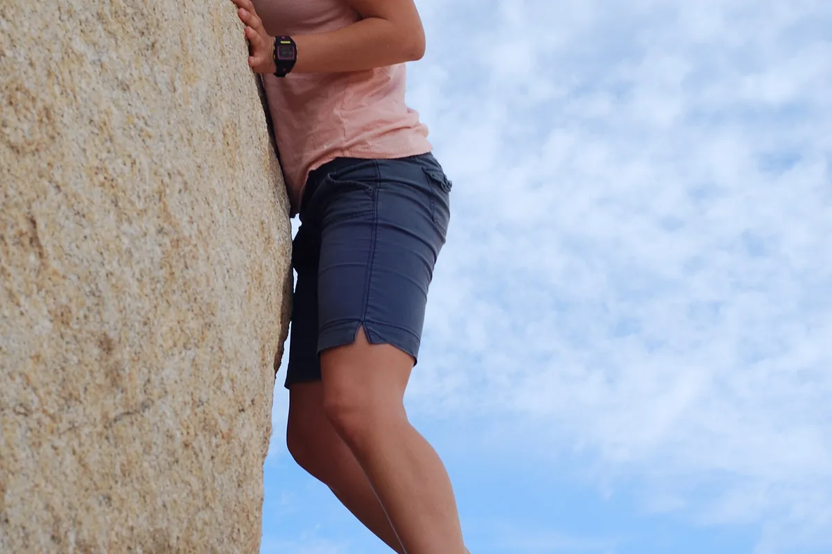
Wet rock also changes scrambling friction, and lightning makes high boulders poor shelter. A visitor center or hard-top vehicle provides a better storm plan than an overhang beside a drainage.
Does camping make summer hiking safer in Joshua Tree?
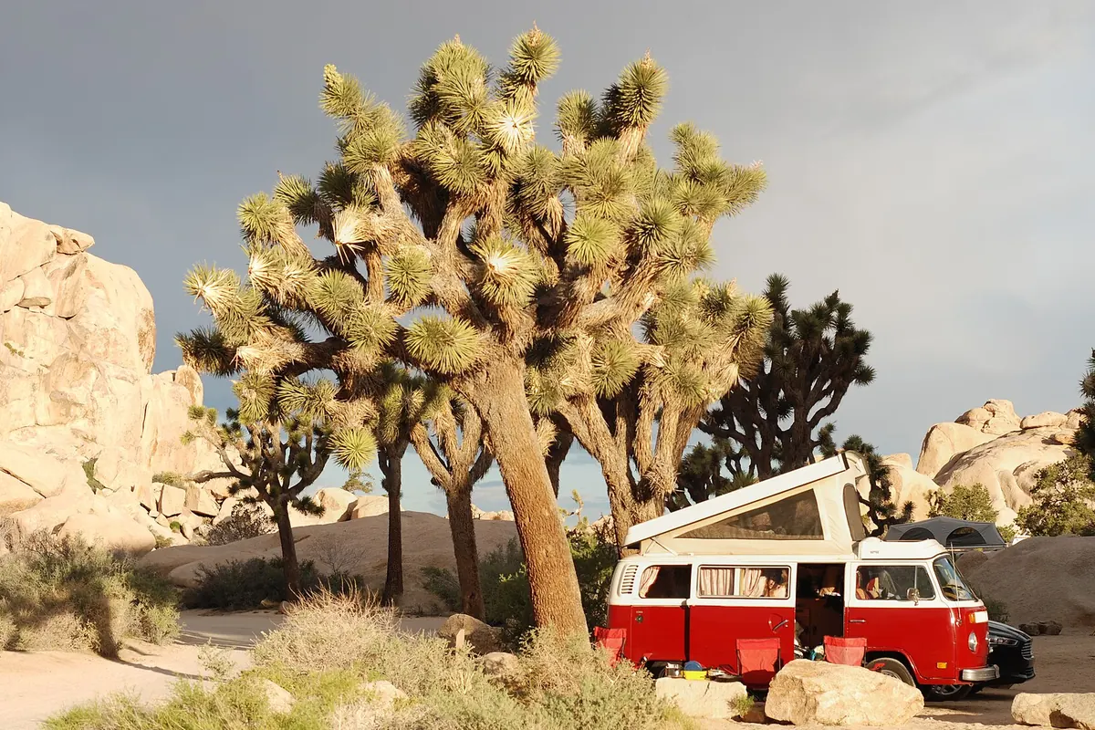
Most of the park's roughly 500 campsites are reservable, and busy weekends from October through May can fill well ahead.
Belle, White Tank, and Hidden Valley follow different availability rules, so verify the selected campground rather than relying on an old list.
Black Rock and Cottonwood have water fill stations. Many other campgrounds do not, and a campsite reservation does not create water at the next trailhead.
- Busy camping season
- October through May
- Reservation window
- Same day to six months ahead where reservations apply
- Reliable fill points
- Black Rock and Cottonwood campground areas plus listed visitor facilities
- Cell service
- Very limited inside the park
- Summer fire rule
- Seasonal campfire restrictions can apply
- Overflow plan
- Legal lodging or camping outside the park under that land manager's rules
Store water before arriving at a dry campground and protect containers from damage. Bees may gather around moisture, so keep food and drink controlled rather than leaving open water beside camp.
During summer, campground sections can close and fire restrictions can tighten. Check current status before building a night around a specific site or campfire.
Do you need a permit to backpack in Joshua Tree?
Ordinary day hiking does not require an advance entry reservation. A park entrance pass is still required, and every overnight stay in the backcountry requires a backpacking permit.
A permit can be obtained through Recreation.gov, by telephone, or through the park permit office under current procedures. It authorizes the overnight itinerary, not off-road driving, an unverified water cache, or camping beside any attractive rock formation.
- Confirm the trailhead and legal overnight zone
- Measure the longest waterless segment and the return
- Obtain the backcountry permit for the actual dates
- Record any legal water cache under current park rules
- Carry the route on paper and offline GPS
- Leave the itinerary and overdue time with a trusted contact
- Check heat, flood, fire, and road alerts immediately before departure
You should not accept an available permit for a route the group has not mapped. In desert travel, a different trailhead can change the water, transport, and navigation problem completely.
The practical difference between backpacking and day hiking begins with the water and exit plan, long before the tent comes out.
Is it safe to hike in Joshua Tree at night?
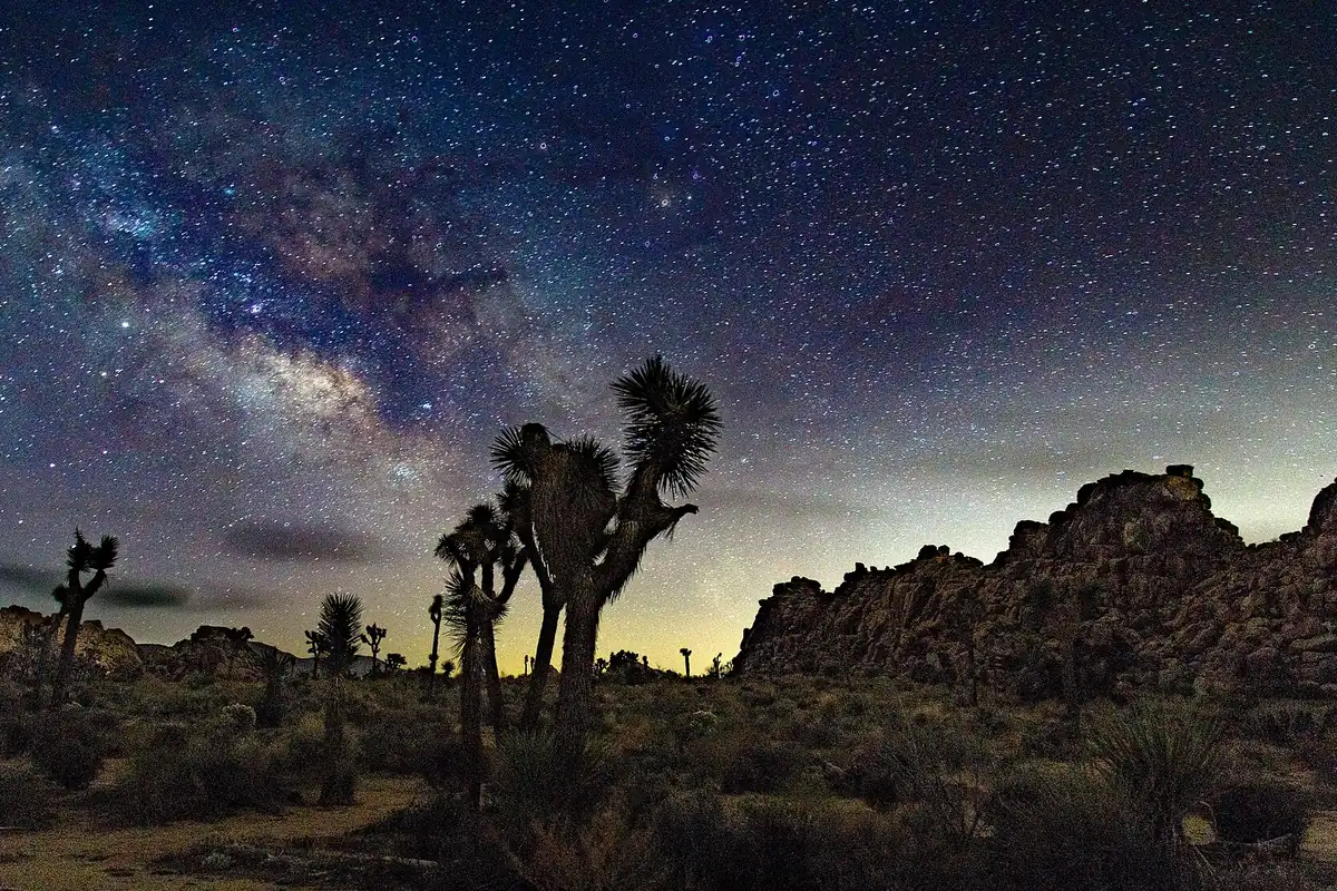
Joshua Tree's dark sky makes evening and night attractive when daytime heat is high. Darkness can extend a short defined walk, but it should reduce route complexity rather than justify a long unmarked crossing.
You can use a familiar or clearly signed path, carry a headlamp for every person, and keep a second light available. Cactus, uneven rock, mine features, and wildlife become harder to see before they become less dangerous.
- Choose a short defined route with a known turnaround
- Mark the vehicle and trailhead offline before walking
- Carry one working headlamp per person plus backup power
- Keep warm layers available because desert temperatures fall quickly
- Avoid scrambling and wash navigation after dark
- Tell the outside contact when the group is safely back
An evening route still needs the same water and emergency plan as a daytime route. Cooler air does not restore cell service or make an uncertain wash junction obvious.
How much water and fuel should a Joshua Tree road plan include?
Park Boulevard and Pinto Basin Road create a through-drive between entrances, but services are sparse inside the boundary. There are no fuel stations, restaurants, hotels, grocery stores, or repair shops along the hiking corridor.
Fill the vehicle and settle food before entering. A fuel warning light near Cottonwood can turn a delayed hike into a long roadside problem after visitor facilities close.
| Road decision | What to settle before entry | Why it matters |
|---|---|---|
| West to north loop | Parking pressure and the intended exit town | Busy lots can slow the central boulder corridor |
| North to south traverse | Fuel, water, food, and daylight | Pinto Basin is long, exposed, and service-free |
| Black Rock day | Separate access from Yucca Valley | The campground is not reached through the central park road |
| Unpaved side road | Current road status and suitable vehicle | Rain can damage or close desert surfaces quickly |
| Night exit | Correct gate and highway connection offline | Darkness removes landmarks and cell service remains limited |
You should keep drinking water in more than one container. A cracked jug or leaking bladder should not remove the group's entire reserve, and the vehicle supply should remain separate from what the hike consumes.
Summer road travel deserves the same heat planning as walking. Carry enough water for a disabled vehicle, keep the phone shaded, and avoid leaving a person or pet inside a parked car.
After monsoon rain, check paved and unpaved road status before committing to a remote trailhead. Floodwater can cross a low section even when the sky above the vehicle has cleared.
Tell the outside contact which entrance and exit the group expects to use. If the plan changes, update that person before service disappears again.
A useful fallback stays on the same exit side. Replacing a closed Cottonwood route with Black Rock can require almost the entire length of the park, while a short Cottonwood-area nature walk preserves the transport plan.
End the drive before fatigue removes attention. Dark park roads can contain wildlife, cyclists, pedestrians near campgrounds, and drivers stopped where they should have used a pullout.
Wind can raise dust and reduce visibility across open basins. Slow down before the road disappears into blowing sand, and avoid pulling onto a soft shoulder where the vehicle can become stuck outside reliable service.
The park's entrances do not all lead toward the same town. Save the correct highway junction and lodging address offline, especially when a night hike ends at a different gate from the one used in daylight.
Keep emergency supplies accessible rather than buried under camping equipment. Water, food, warm layers, first aid, and a light should remain reachable if the vehicle cannot continue.
Do not depend on an electric-vehicle charger inside the park. Confirm the external charging plan and reserve enough range for a closed road, a return to another entrance, or climate control during a delay.
A roadside problem can also become a heat emergency. Stay with the vehicle when it provides the clearest location for help, conserve battery and water, and avoid walking a long unknown distance toward services.
Record the park dispatch number with the trip plan, but call 911 for an immediate emergency where a connection exists.
A satellite messenger or personal locator beacon adds another contact path only when the group knows how to activate it and has registered the device.
Leave the vehicle description, plate, route, and expected exit with the outside contact. Those details narrow the search when several entrances and trailheads could fit the same broad itinerary.
If another vehicle stops, exchange clear information without abandoning the group. The most useful message gives the exact road, nearest signed landmark, problem, people involved, and supplies remaining.
Place a reflective marker only where it is legal and remove it when help arrives. Do not build rock arrows, damage vegetation, or leave permanent signs in the desert.
The west and north entrances reach the higher Mojave Desert, where Joshua trees, granite formations, and many short trail systems concentrate.
Cottonwood approaches the hotter Colorado Desert and is a poor last-minute substitute for a western trail when the group has not recalculated driving time and water.
That zone change matters on the return.
A vehicle left at a remote southern trailhead cannot be treated as if it were a short drive from Joshua Tree village, and an overdue contact needs the entrance, road, trailhead, and planned exit rather than only the park name.
Water planning should use the entire time away from a reliable supply, including the drive between the entrance and trailhead, the hike, and any wait behind traffic.
A cooler in the vehicle can support the drive home, but it cannot rescue a carry that runs short several miles from the road.
Use the map to mark the last dependable water, the last staffed location, and the turn that begins the remote segment. Those three points turn a vague desert itinerary into a route that another person can follow if the group misses its check-in.
Roadside pullouts and unpaved roads are not equal escape routes. Sand, washouts, and sharp rock can stop a low-clearance vehicle, so you should keep the hiking fallback on a road the vehicle and driver can actually use.
Heat also changes the vehicle plan after the walk. Water left in the car may become unpleasantly hot, electronics can fail, and nobody should wait inside a disabled vehicle without shade or ventilation simply because the trail has ended.
The safest response to a wrong turn is usually early correction, not faster walking. You should compare the last confirmed landmark with the stored route while the group still has water, daylight, and a short retreat to the road.
If the position cannot be confirmed, you should stop the route from growing. Shade, communication, and a precise last-known point give rescuers more useful information than a wandering track across several similar washes.
You should also keep the vehicle key, map, emergency contact, and enough return water with the same responsible person, because a separated group cannot use supplies locked at a trailhead it cannot identify.
Sources
Trail families and heat exclusions were checked through the National Park Service Hiking page. Current heat, water, navigation, terrain, and storm guidance came from the NPS Safety Guidelines and Visiting in Summer pages.
Entry, backpacking, and reservation boundaries came from Permits and Reservations. Campground availability and water details came from the current Campgrounds guidance, checked August 24, 2026.
RespectHazards to plan for
- extreme heat
- dehydration
- navigation loss
- flash floods
- falls while scrambling
- cactus contact