
Yellowstone Hiking Beyond the Roadside Stops
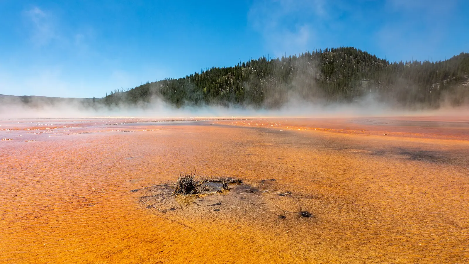
Plan Yellowstone hiking by road district, thermal boundary, wildlife distance, bear habitat, snow, water, permits, and the return road.
Weather
Many trails begin above 7,000 feet, where snow can persist into summer. Lightning, cold, stream flow, wildfire, and rapid road closures change the return margin.
Plan the practical details
- Access
- Five major road districts are separated by long drives, wildlife jams, construction, and seasonal closures. One same-district fallback is more reliable than a park-wide checklist.
- Permits
- Day hiking generally needs no backcountry permit. Backcountry nights require a permit and designated campsite; campground, fishing, and winter systems are separate.
Yellowstone National Park hiking is governed by three boundaries that a road itinerary can hide: thermal ground, wildlife distance, and backcountry access. A short trail may cross a hydrothermal basin, open bear country, or a high plateau where snow lasts well into summer.
You should build the day around one road district, then classify the route by thermal exposure, wildlife habitat, elevation, and return dependency. This keeps scenic stops from becoming an unsafe chain of unrelated trail conditions.
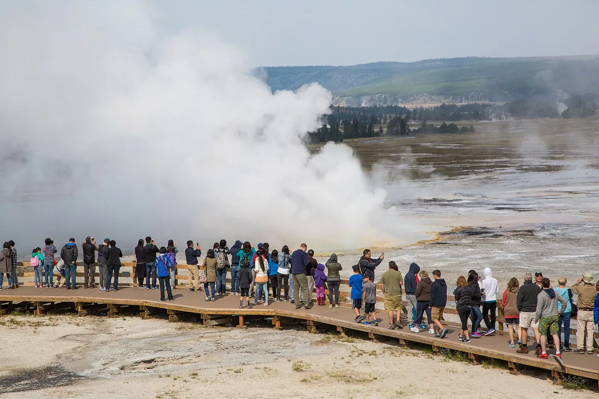
The ground is part of the hazard. Boardwalks and marked trails are safety structures because thin crust can cover scalding water.
Stay on boardwalks and designated trails in thermal areas. A firm-looking surface can be a fragile crust over boiling water.
Yellowstone National Park Service
Which Yellowstone district is best for hiking?
Yellowstone's road system connects major developed districts, but wildlife jams, construction, temporary closures, and long distances make transfer times unpredictable. Old Faithful, Canyon, Mammoth, Lake, and the northern range each provide a different trail context.
A route near a geyser basin uses built walkways and strict boundaries. A trail from Canyon may add steep drop-offs, while the northern range places hikers in broad wildlife habitat and the eastern high country adds snow and remoteness.
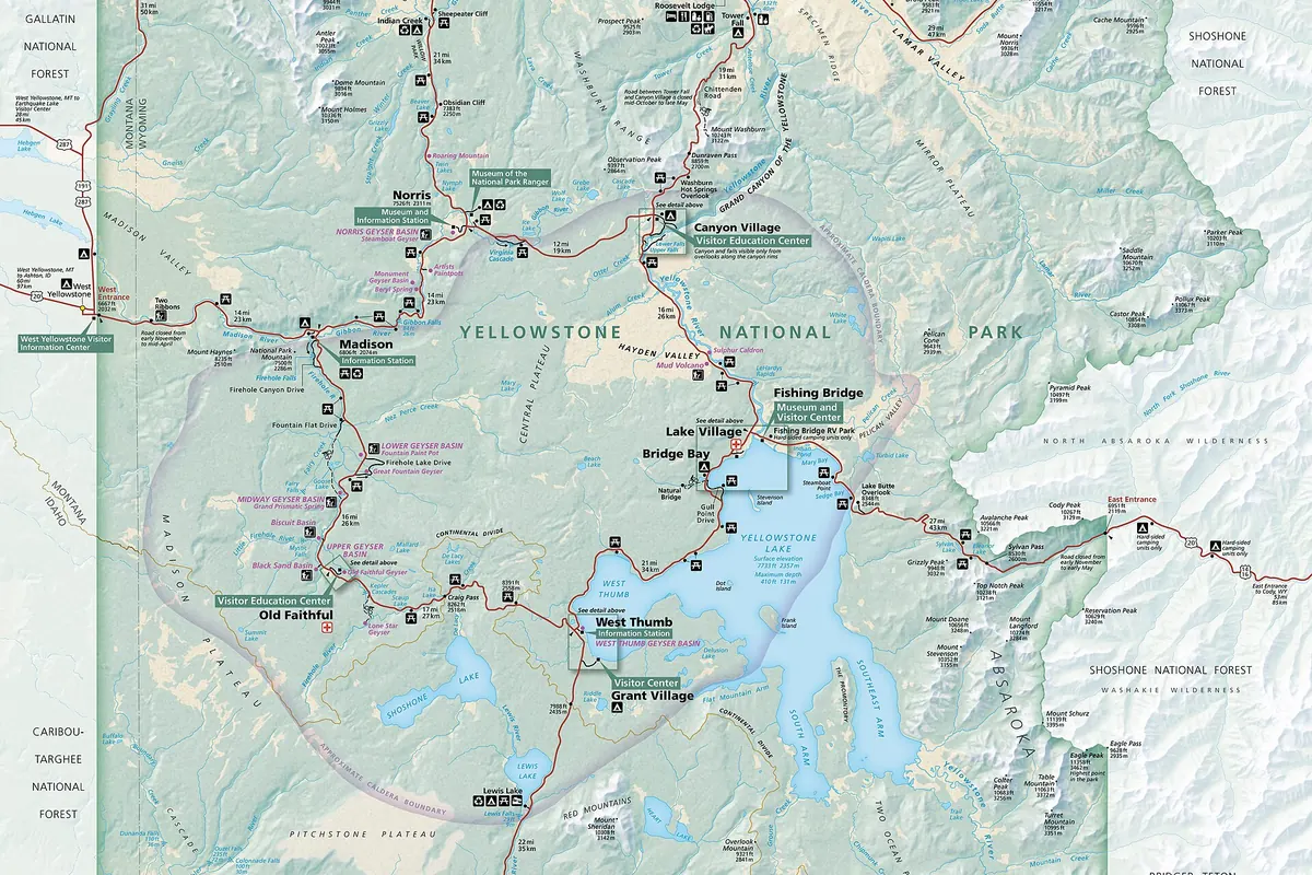
Old Faithful and geyser basins
Boardwalks, thermal ground, concentrated parking, and predictable visitor density.
Canyon area
Rim routes, steep grades, waterfall viewpoints, exposed edges, and winter access limits.
Mammoth and north entrance
Lower-elevation access, open slopes, seasonal heat, and wildlife movement.
Lamar and northern range
Wildlife observation, bear and bison space, limited services, and long drives.
Lake and east side
High plateau weather, snow, water exposure, and remote trailheads.
You should choose a second route within the same district. A closure near Lake should not send a tired group across the entire park to Mammoth late in the day.
You should treat each district as a separate hiking base for the day. That keeps a delayed road segment from consuming the daylight reserved for the return and lets a nearby alternative preserve the same wildlife, canyon, lake, or thermal interest.
A district plan also makes current notices easier to interpret because the relevant road, trail, and bear-management information belongs to one area. You can then reject an option for a specific closure without rebuilding the entire day in a parking lot.
Can you hike off the boardwalk in Yellowstone thermal areas?
Hydrothermal ground can look dry, stable, and walkable while only a thin mineral crust separates the surface from hot water. Leaving a boardwalk risks severe burns and damages formations that take years to develop.
Children need close physical supervision because a stumble beyond the edge has a consequence far beyond an ordinary fall. Pets are excluded from many thermal trails and should never be carried onto a route where the rules prohibit them.
- Enter only at the signed boardwalk or maintained trail
- Keep every person and object inside the constructed boundary
- Hold children close where rails are absent or crowds compress the path
- Do not retrieve a dropped item beyond the edge
- Leave immediately if fumes make anyone feel ill
- Report damaged boardwalks or unsafe behavior to park staff
Swimming or bathing in water entirely of thermal origin is illegal and dangerous. A pleasant air temperature does not make a hot spring, runoff channel, or crust edge safe to approach.
How far should you stay from Yellowstone wildlife?
Yellowstone requires at least 100 yards of distance from bears, wolves, and cougars, and at least 25 yards from other wildlife such as bison and elk. Those are minimum distances, and an animal moving toward you requires more space rather than a closer photograph.
Bison can accelerate quickly and may appear calm before charging. Never use a vehicle, boardwalk crowd, or another visitor as proof that standing closer is acceptable.
- 100 ydBears, wolves, and cougarsIncrease distance when behavior or terrain reduces the margin
- 25 ydBison, elk, and other wildlifeDo not approach or block the animal's travel line
- DaylightPreferred backcountry travel windowBears are more active around dawn, dusk, and darkness
- One canisterBear spray carried accessiblyKnow how to deploy it before entering habitat
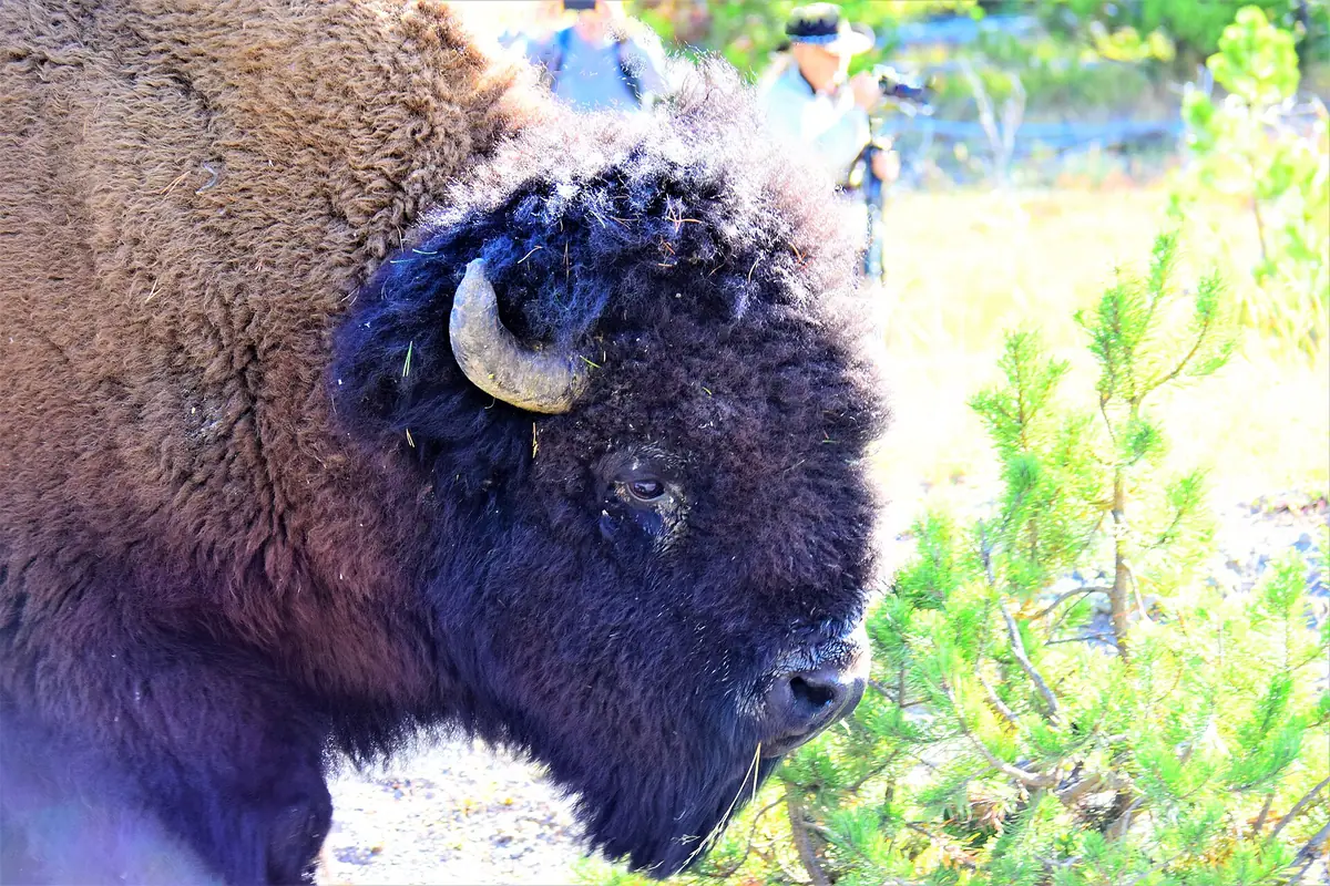
If wildlife blocks the trail, you should stop well outside the required distance and allow it to move. Going off trail to pass can create a second problem in thermal terrain, fragile vegetation, or bear habitat.
Wildlife distance must remain possible after other visitors gather around the same animal. You should keep an exit behind the group and move away early rather than letting stopped vehicles, a boardwalk rail, or another crowd close the only retreat.
How should you hike safely in Yellowstone bear country?
All of Yellowstone is bear country. You should hike in groups when possible, stay alert, make noise where visibility is limited, carry bear spray where it can be reached immediately, and avoid carcasses or fresh feeding signs.
Running from a bear can trigger pursuit. Follow the park's current response guidance for the species and encounter, because a defensive surprise at close range differs from a bear persistently following people.
- Carry bear spray on the body rather than buried in a pack
- Check the safety clip and practice drawing without discharging it
- Make human noise near blind corners, dense vegetation, and noisy water
- Leave the way you came when you find a carcass or concentrated bear sign
- Store food, trash, toiletries, and cooking items under the applicable rule
- Keep the group together instead of stretching across a long trail segment
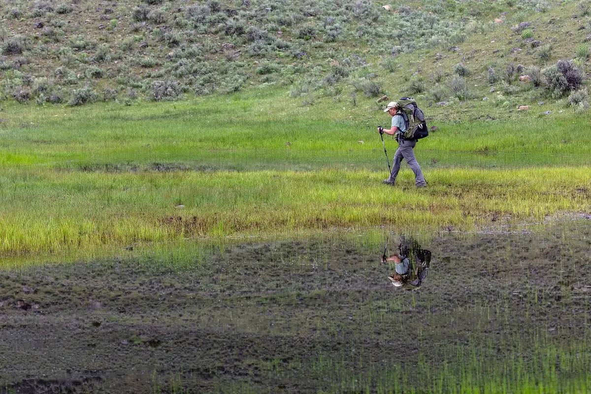
Bear-resistant products must meet the rules for the place where they are used. A container accepted in Yellowstone's backcountry may not replace campground storage instructions, and a normal cooler is not automatically bear resistant.
When are Yellowstone trails free of snow?
Many Yellowstone trails begin above 7,000 feet. Snow often remains into late May or early June, while mountain passes may stay snow covered until late July.
Early and late season travel can require map-and-compass navigation, mud management, cold-weather camping, and difficult stream crossings. A warm boardwalk near a developed basin says little about a shaded pass several thousand feet higher.
How the hiking season opens
- Spring road openingSome developed corridors become reachableTrails can still hold snow, mud, and closed bear-management areas
- Early summerLower routes dry before high passesRiver crossings may run high with snowmelt
- Mid to late summerBroadest high-country accessHeat, storms, fire smoke, and wildlife remain active constraints
- FallQuieter trails and colder nightsSnow can return quickly and services begin to contract
- WinterLimited roads and specialized travelOrdinary summer trail assumptions no longer apply
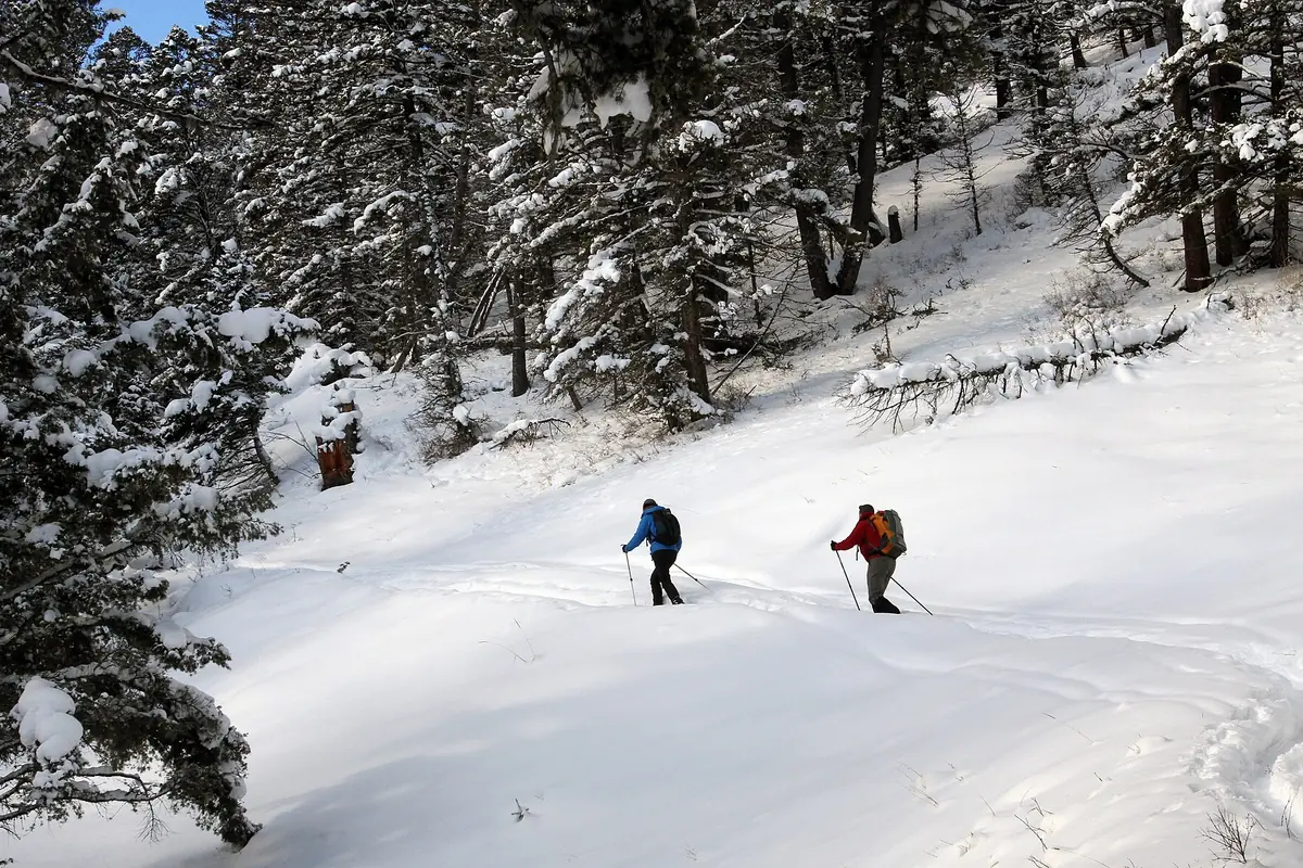
You should turn around when snow removes the trail and the group lacks the navigation or traction for the continuation. Following footprints is not a substitute because the earlier party may have had a different destination or made the same mistake.
Do you need a permit to backpack in Yellowstone?
Backcountry camping requires a permit and a named campsite. The itinerary must account for site availability, mileage, elevation, water, bear management, and any seasonal closure affecting the approach.
Reservations and walk-up procedures change by date, so use the current official system. Some areas limit off-trail travel or require hard-sided food storage because thermal features and wildlife create constraints beyond ordinary campsite selection.
| Trip type | What you need | What it does not guarantee |
|---|---|---|
| Day hike | Valid park entry and legal parking | An open trail or wildlife-free route |
| Frontcountry night | Campground reservation or site under current rules | Backcountry camping access |
| Backcountry night | Permit and designated itinerary | A change to closed-area or bear rules |
| Fishing trip | Yellowstone fishing permit when required | Permission to ignore trail or thermal restrictions |
| Winter trip | Open road and appropriate travel plan | Summer trail access |
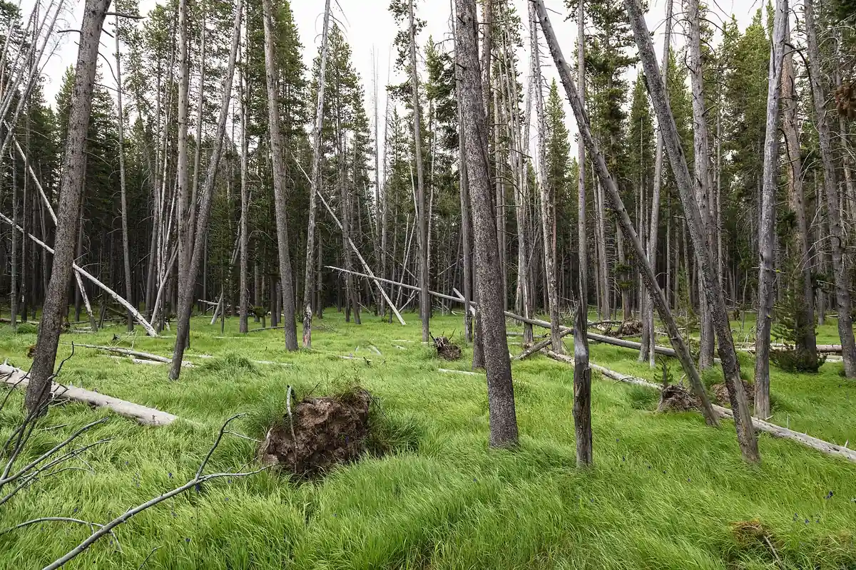
You should camp away from obvious bear activity and keep cooking, sleeping, and food storage arranged under current instructions. Pack out every attractant because even a small food reward changes wildlife behavior.
Can you rely on water sources and river crossings in Yellowstone?
Streams rise with snowmelt and storms, while open plateaus develop wind, hail, and lightning with little shelter. A route that crosses water on the outward leg must still be safe several hours later.
Natural water requires treatment. Thermal runoff introduces additional hazards, so collect only from an appropriate source and never assume clear water near a thermal basin is suitable.
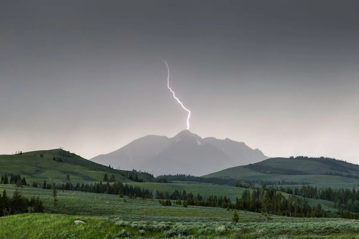
You should move away from exposed ridges before lightning reaches the area. Waiting for rain to begin can leave the group on the highest ground during the most dangerous part of the storm.
Where should you stay for an early Yellowstone hike?
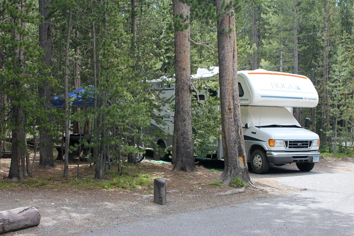
Campgrounds and lodges are distributed around a very large road network. Staying near the chosen district protects early trail time and reduces the chance that a wildlife jam or construction delay consumes the safe hiking window.
Roadside camping, sleeping at pullouts, and overnighting at trailheads are not allowed. When the park is full, use a legal reservation outside the boundary and include the entrance drive in the morning schedule.
Old Faithful base
Efficient for geyser-basin walks and nearby high plateau routes, with intense visitor demand.
Canyon base
Useful for rim trails, waterfalls, and central road connections, with steep terrain close to developed areas.
Mammoth base
Favors northern routes and year-round road access from Gardiner, with a long transfer to the southern basins.
Lake base
Places the group near east-side and lakeshore routes, with high-elevation weather and seasonal services.
Outside gateway
Adds entrance travel but can provide fuel, food, and lodging when park inventory is full.
You should download maps and reservation details before entering areas with limited cellular service. A saved confirmation cannot replace the permit or site instructions, but it prevents a missing signal from hiding information already obtained.
What makes a useful backup hike in Yellowstone?
When a thermal boardwalk closes, another thermal route in the same affected area may fail for the same reason. When wildlife occupies a trail, waiting at distance or choosing a route in a different habitat is stronger than squeezing around the animal.
The best alternative changes one failed dependency while preserving the day's main goal. A high pass under snow can become a lower forest walk, while a full Canyon lot can become another legal stop within the central district.
- Thermal closure
- Choose a maintained nonthermal trail rather than an unofficial edge route
- Wildlife blockage
- Wait at distance or turn around without leaving the trail
- High snow
- Move to lower elevation instead of following tracks into obscured terrain
- Road delay
- Keep the alternate within the current district
- Storm development
- Leave exposed terrain before thunder is overhead
You should record the district, trailhead, route, turnaround, vehicle, camp, and overdue time with an outside contact. Recheck roads, bear-management closures, fire conditions, and weather on the day of travel because Yellowstone changes faster than a saved itinerary.
How do crowds change a Yellowstone hiking plan?
A busy trailhead can create a false sense of support. Visitor density often drops quickly beyond a viewpoint, and the next mile may have no shade, water, phone service, or easy vehicle access.
You should count the return from the farthest point rather than the last visible crowd. The group should still have enough water, light, weather margin, and the ability to retreat without relying on strangers.
Boardwalk routes create the opposite problem because crowd movement can compress spacing near thermal edges. You should slow down, allow room for wheelchairs and children, and wait at a wide platform rather than stepping off the structure to pass.
Parking pressure also changes the start. A legal space in another district can add hours of driving, so the better fallback is usually a less famous route near the current road rather than the next iconic stop on a checklist.
Wildlife jams belong in the return calculation. Vehicles may stop for bison or bears after the hike, and a campground check-in or dinner reservation does not make that road clear faster.
When should you turn around on a Yellowstone hike?
Yellowstone does not have one universal reason to turn around. Thermal damage, wildlife position, high water, altitude symptoms, lightning, snow, and road closure each provide a different signal.
At a thermal area, a damaged or closed boardwalk ends the route. In wildlife habitat, an animal holding the trail can require a long wait or retreat even when the weather and daylight remain good.
On a high route, obscured tread or a storm building over the plateau can remove the safe return before anyone feels tired. At a stream, depth and current decide the crossing rather than the group's desire to reach a named campsite.
You should agree on these triggers before walking. A threshold chosen in the parking area is easier to follow than one negotiated after the group has invested hours in the objective.
The final check is the road home. If a closure separates the trailhead from the overnight base, use the official detour or remain in a legal district facility rather than entering a closed road.
One person should carry the offline district map while another retains the vehicle and lodging details. Separating those pieces prevents a dead phone or separated group member from holding every part of the return plan.
Before leaving the trailhead, confirm that everyone knows which developed district contains the vehicle. “Near a geyser†or “by the canyon†is not precise enough in a park with several similarly named features.
Your turnaround should preserve enough time for both the walk and the road back to camp. A route that remains physically possible can still become a poor choice when darkness, a long detour, or wildlife traffic removes that margin.
Sources
Thermal-area rules, wildlife distances, 2026 visitor guidance, and general safety were checked through the National Park Service summer planning guidance and Safety pages. Bear practices came from the official Backcountry Safety guidance.
Permit, snow, campsite, and food-storage details came from the NPS Backcountry Camping page. Information was verified August 24, 2026 and should be checked again before travel.
RespectHazards to plan for
- thermal ground
- bison and bears
- high snow
- lightning
- cold water
- road delays