
How to Plan a Hike During Wildfire Season When the AQI Climbs
Fire season changes two things independently of each other, the air you breathe and the land you are allowed to walk on, and both move faster than the plan you made in spring.
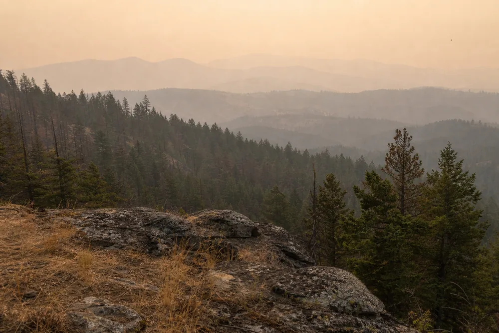
Plan a hike around wildfire season by reading air quality numbers against your own exertion, confirming closures and fire restrictions with the managing agency, and setting the conditions that end the trip before you leave the house.
Wildfire season rarely announces itself at the trailhead. The sky looks slightly wrong, the light turns flat and orange, and a hike you booked time off for in March becomes a decision you have to make standing next to your car.
Two separate things go wrong during fire season, and they go wrong independently of each other. The air degrades, and the land closes.
Both are public information, both update faster than most hikers expect, and both can be settled before you turn the key. What follows is how to read the numbers, where the official closure information lives, and the conditions that should end a trip outright.
Those five numbers do most of the work. The rest is knowing which source to trust and how much your own effort changes the exposure behind them.
Which Air Quality Numbers Should Decide Whether You Walk?
AirNow is the starting point. It is the joint federal air quality service run by the EPA with state, tribal, and local partners, and it publishes both current monitor readings and a smoke forecast layer built from satellite fire detection.
The number it gives you is the Air Quality Index, a 0 to 500 scale rather than a direct pollutant measurement. In fire season that index is nearly always being driven by PM2.5, the fine particulate fraction that smoke produces in enormous quantity.
That distinction earns its keep because PM2.5 is small enough to reach deep lung tissue and pass into the bloodstream. Coarse ash makes your throat sore and your eyes water, but the fraction doing measurable harm is the part you cannot see as individual particles.
There are things the index number will not tell you, and they change what it means:
- How long that smoke has been sitting in the valley you are about to walk into - Whether the reading came from a regulatory monitor or a low-cost consumer sensor - What the plume is forecast to do over the next six hours - How much harder you will be breathing than the resting adult the guidance describes
Official monitors report hourly using a NowCast calculation that weights the most recent hours more heavily than older ones. It reacts quickly when smoke arrives and lags slightly when smoke clears, so a falling number is usually a little better than it reads and a rising one is usually worse.
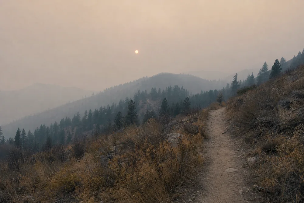
Low-cost sensor networks fill the enormous gaps between regulatory monitors and are genuinely useful in mountain valleys where no official station exists. They read high in dense smoke unless the map applies a correction factor, so use them to understand the shape of the plume rather than as a precise value you act on.
Read the forecast layer alongside the current number, because what matters is the air you will be breathing at two in the afternoon rather than the air in the parking lot at seven. Clean mornings followed by an afternoon plume are a standard fire-season pattern, and the fix is usually a pre-dawn departure rather than a cancellation.
What Each AQI Band Means Once You Are Working Hard
The EPA scale has six categories with fixed boundaries. Good runs 0 to 50, moderate 51 to 100, unhealthy for sensitive groups 101 to 150, unhealthy 151 to 200, very unhealthy 201 to 300, and hazardous from 301 upward.
Those category names describe a resting adult going about an ordinary day in town. They do not describe someone climbing 2,000 feet with a loaded pack, and exertion is the multiplier the index leaves out entirely.
Sitting still, you move roughly six liters of air a minute. On a sustained climb that can rise past sixty liters a minute, and every one of those liters carries the same particulate concentration as the air the guidance was written about.
So an AQI of 90 while you eat lunch at a picnic table is a genuinely different exposure from an AQI of 90 four hours into a ridge climb. Identical air, close to ten times the delivered dose.
The practical consequence is that intensity becomes a dial you can turn down without abandoning the day. Dropping from a steep 12-mile objective to a flat 5-mile walk cuts your ventilation rate more than it cuts your enjoyment, which makes honest effort-to-fitness matching more useful in smoke than in any other condition.
| AQI range | Category | What it means for a hiking day |
|---|---|---|
| 0 to 50 | Good | Normal plans, no adjustment needed |
| 51 to 100 | Moderate | Fine for most, unusually sensitive hikers may notice a dry cough |
| 101 to 150 | Unhealthy for sensitive groups | Sensitive hikers cut distance and climbing sharply, everyone else trims the hard section |
| 151 to 200 | Unhealthy | Everyone reduces prolonged or heavy exertion, save the big objective for another week |
| 201 to 300 | Very unhealthy | No recreational exertion outdoors |
| 301 and above | Hazardous | Stay inside with filtered air |
Sensitive groups is a defined category rather than a vague hedge. It covers children, adults over 65, pregnant people, and anyone living with asthma, COPD, or heart disease.
Children carry more risk than the label suggests, because they move more air per kilogram of body weight than adults do and their lungs are still developing. Anyone planning a family hike in smoke should treat the 100 mark as the real ceiling, and the same caution that shapes hiking with children applies harder when the air itself is the hazard.
Above 150 the guidance stops being group-specific. Everyone should cut prolonged or heavy exertion, and a full-day hike with elevation gain is precisely what that phrase means.
Dogs deserve a mention because they cannot report symptoms and they run harder than you walk. Smoke compounds the heat and respiratory load that already shape hiking with a dog, and a short flat loop is a better call than a canceled dog entirely.
Masks are worth understanding before anyone relies on one. A well-fitted N95 filters PM2.5 effectively at rest, but breathing resistance climbs steeply with effort and most people break the seal within a few minutes of real climbing.
Treat a respirator as insurance for the walk back to the car if conditions turn. It is not permission to hike into air you would otherwise skip.
Closure and Fire-Restriction Checks Belong the Night Before
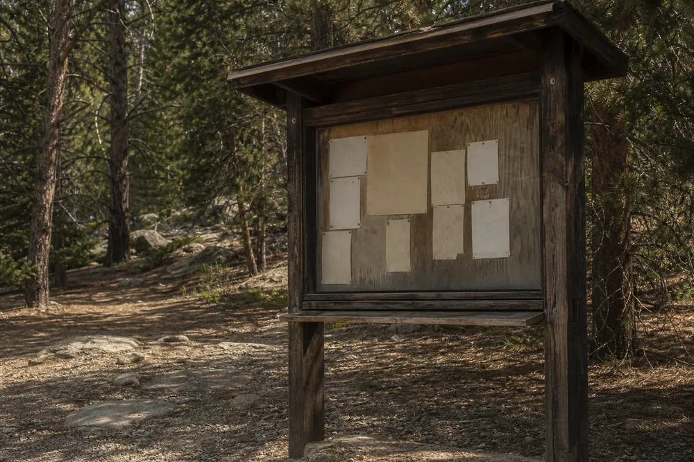
Air quality moves hourly, but closures move on a schedule you cannot infer from anything. A forest order signed on a Thursday afternoon shuts a trailhead you researched on Tuesday, and nothing about the drive there will warn you.
The managing agency is the only authority on whether land is open. InciWeb carries incident-level information for large fires and will tell you where one is burning and how it is behaving, though it does not publish every closure that fire has triggered.
- Identify the managing agency firstTrailheads sit on Forest Service, Park Service, BLM, state, or county land, and each publishes its own orders separately.
- Read the current forest or park orderOrders name the exact roads, trails, and areas that are closed, and state how long the closure runs.
- Pull incident information for nearby firesFire location, acreage, and containment tell you which direction the trouble sits relative to your route.
- Confirm the fire restriction stageRestrictions escalate in numbered stages that progressively ban campfires, stoves, smoking, and off-pavement vehicle travel.
- Call the ranger district when anything is ambiguousA two-minute phone call resolves what a week-old web page cannot.
- Recheck on the morning you leaveOvernight fire growth is the single most common reason a legal plan stops being legal.
None of this is bureaucratic box-ticking. Entering a closed area during an active incident puts you underneath working aircraft and in front of crews who now have to account for you, and it carries real financial penalties in most jurisdictions.
Overnight plans need the same checks run against a much longer exposure window. A closure that opens behind you on day two is a different problem from one you meet at a gate, which is why overnight trip safety puts current orders ahead of gear decisions in fire season.
How Do You Plan an Escape When One Road Reaches the Trailhead?
Look at the access road before you look at the trail. A large share of good trailheads sit at the end of a single dead-end road up a single drainage, and that road is the only way out for everyone parked there.
Fire does not have to reach a road to close it. Smoke that drops visibility below a car length, one burning snag across the surface, or an evacuation order covering the drainage will each shut it just as completely.
So ask one blunt question of any fire-season plan. If that road closed behind you at noon, what exactly would you do next?
A loop with two trailheads on separate roads gives you a real answer. An out-and-back up a single canyon gives you a shrug, which is why the terrain shape matters as much as the mileage when you are picking a trail in August.
Single dead-end road
One closure traps everyone above it. Keep the day short and set the turnaround early.
Ridge routes above a burning drainage
Fire climbs fastest uphill and ridges funnel wind. These are the first routes to drop from a list.
Narrow canyons and side drainages
Smoke pools here and the exits are few. A poor choice with any active fire within twenty miles.
Open terrain with access on two sides
The most forgiving shape available in fire season, and worth accepting a duller route to get.
Write down what you know about the road itself, not just the trail:
- Whether it dead-ends or connects through to a second highway - How long the drive is from the trailhead to the nearest paved road - Which drainage it follows, since evacuation orders are usually written by drainage - Whether cell coverage exists anywhere along it
Wind direction on the day decides more than raw distance to a fire. A fire fifteen miles upwind will put far more smoke across your trail than one burning five miles crosswind.
Afternoons are the worst window on both counts. Daytime heating drives fire behavior upward, wind picks up through the afternoon, and the smoke column that sat comfortably aloft all morning begins mixing down toward the ground.
That argues for the same early start you would use in summer heat, though for an entirely different reason. Finishing while the smoke column is still lifting is a separate calculation from the heat-load timing that drives a normal August departure.
Group size cuts both ways here. More people means slower movement and a longer exposure window, though it also means someone can drive for help, so pace-setting decisions carry more weight when the exit window is uncertain.
Anyone walking alone should shorten the plan further, because a single blocked road with nobody else at the trailhead removes every informal backup you would otherwise have. Fire season is a poor time for an ambitious solo objective up a dead-end canyon.
Tell someone at home the route and the specific road you are using. Evacuation orders are announced by road and drainage name, so the road is the detail that lets anyone track whether you are inside a closure.
Stoves, Sparks, and the Rules You Carry Yourself
Fire restrictions arrive in numbered stages, and the stage tells you what you are allowed to carry. Stage 1 typically bans campfires and charcoal outside developed sites while still permitting a pressurized gas stove with a working shutoff valve.
Stage 2 usually goes further, banning stoves of any kind, smoking outside an enclosed vehicle, and running an internal combustion engine off paved surfaces. A canister stove that was perfectly legal last weekend can be a citation this weekend, so the stage number is worth reading rather than assuming.
Your car is a genuine ignition source and it is the one hikers reliably forget. Parking a hot exhaust or catalytic converter over cured grass at a dirt pullout has started real fires, which is exactly why restriction orders name vehicle parking as specifically as they name campfires.
Carry food that needs no heat whenever any restriction is in force. Cold food removes the entire question, weighs less than a stove and fuel, and slots into the same trail snack planning you would do for any other summer day.
Two additions earn their weight in smoke and neither is heavy. A pair of wraparound sunglasses keeps particulate out of your eyes far better than the sunglasses you already carry, and a buff pulled over the nose cuts the coarse ash that makes a throat raw within an hour.
Neither item filters PM2.5, so treat them as comfort rather than protection. What actually belongs in a fire-season pack is the ordinary load plus a printed or offline copy of the closure order, because the trailhead is exactly where cell coverage disappears.
Water is the one quantity worth revising upward. Smoke rides on hot dry air and coughing costs fluid, so the water carry you calculated for a clear day will run short if the walk out takes longer than you planned.
When Do You Cancel, and What Happens if Smoke Arrives Mid-Hike?
Write your cancel conditions down before you leave the house. Judgment degrades badly once you have already driven three hours and everyone in the car wants the day to work.
Three conditions should end a trip outright. An AQI above 150 at the trailhead or forecast to pass it, an active closure order covering any part of the route or approach, or a fire burning in the same drainage with wind pushing toward your trail.
A fourth is softer but worth honoring anyway. If anyone in the group falls into a sensitive category and the number sits above 100, choose a different day rather than a shortened version of the same hike.
- Hard cancel, air
- AQI 151 or above at the trailhead or in the day's forecast
- Hard cancel, access
- Any closure order covering the route or the approach road
- Hard cancel, position
- Active fire in the same drainage with wind toward the trail
- Soft cancel, group
- Any sensitive-group member with AQI already above 100
- Turn around mid-hike
- Visibility dropping below roughly half a mile
- Immediate exit
- Ash falling, or smoke smell strengthening quickly
Smoke that arrives while you are already out gives you two reliable signals, and both are visual rather than numerical. Visibility drops noticeably over twenty or thirty minutes, and the sun shifts from white to orange to a disc you can look straight at.
Falling ash means you are downwind of active fire and close enough for debris to travel to you. That is not a wait-and-see moment, and it sits alongside the other early-exit triggers that end a day without further debate.
Your body will also tell you, and the signals are easy to write off as ordinary trail fatigue:
- A cough that keeps going well after you stop climbing - Chest tightness or a burning feeling behind the sternum - Stinging eyes that blinking and water do not clear - A headache arriving with no dehydration to explain it
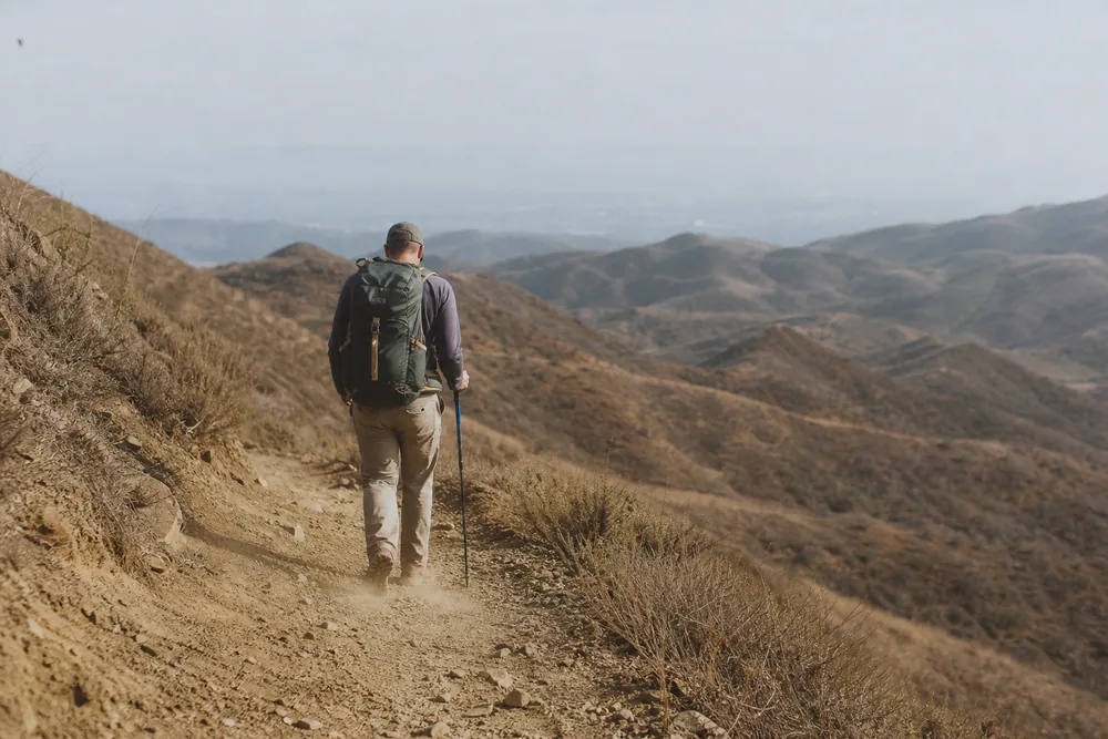
Head downhill and toward the car rather than up to the nearest high point for a better look. Height buys you a view and costs you exit time, and exit time is the only resource that matters once smoke is moving.
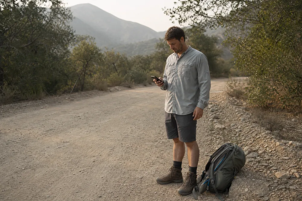
Visibility loss is also a navigation problem, and it arrives faster than most people plan for. Familiar handrails such as a distant peak or a ridgeline vanish first, so solid map and compass work becomes the fallback at exactly the moment your phone battery is draining in the heat.
If the road out is genuinely blocked, open ground with no fuel on it is safer than any structure or vehicle parked in timber. Call 911, describe the drainage and road by name, and stay somewhere dispatchers can reach rather than walking a road whose far end you cannot see.
Sources
- United States Environmental Protection Agency, AirNow, Air Quality Index basics and PM2.5 categories - United States Environmental Protection Agency and United States Forest Service, Wildfire Smoke: A Guide for Public Health Officials - National Wildfire Coordinating Group, InciWeb incident information system
Step by stepPractical steps
- Identify the managing agency first, because trailheads sit on Forest Service, Park Service, BLM, state, or county land and each publishes its own orders separately.
- Read the current forest or park order, which names the exact roads, trails, and areas that are closed and states how long the closure runs.
- Pull incident information for nearby fires so that location, acreage, and containment tell you which direction the trouble sits relative to your route.
- Confirm the fire restriction stage, since restrictions escalate in numbered stages that progressively ban campfires, stoves, smoking, and off-pavement vehicle travel.
- Call the ranger district when anything is ambiguous, because a two-minute phone call resolves what a week-old web page cannot.
- Recheck on the morning you leave, as overnight fire growth is the single most common reason a legal plan stops being legal.
AnswersQuestions readers ask
What AQI is too high to hike?
Treat 151 as the hard stop for a full day with elevation gain, because that is where the EPA scale reaches unhealthy and everyone is advised to reduce prolonged or heavy exertion.
Between 101 and 150 the advice targets sensitive groups, so children, adults over 65, pregnant people, and anyone with asthma, COPD, or heart disease should cut the distance and climbing sharply while others trim the hard section. The index describes a resting adult, and a hard climb can move roughly ten times as much air through your lungs as sitting still, so the effective exposure at any given number is much higher for a hiker than for the person the guidance was written for.
Does an N95 mask make it safe to hike in wildfire smoke?
No.
A well-fitted N95 filters PM2.5 effectively at rest, but breathing resistance rises steeply with effort and most people break the face seal within a few minutes of real climbing, which removes most of the benefit. A mask is worth carrying as insurance for the walk back to the car if smoke arrives while you are out, and it is not a reason to start a hike in air you would otherwise skip.
Cloth face coverings and bandanas do nothing at all against fine particulate.
How do I find out whether a trail is closed because of a fire?
The agency that manages the land is the only authority, so start by working out whether the trailhead sits on Forest Service, Park Service, BLM, state, or county ground, then read that agency's current closure order.
Orders name the specific roads, trails, and areas affected and give the dates they run. InciWeb, the interagency incident information system, tells you where large fires are burning and how they are behaving, which helps you understand the direction of the risk, though it does not list every closure a fire triggers.
Call the local ranger district when anything reads ambiguously, and check again the morning you drive.
Is it safe to hike the day after the smoke clears?
Usually yes for the air, if the monitor reading has genuinely dropped and the forecast holds, though check the closure situation separately because it does not clear on the same timetable. Official readings use a NowCast calculation that lags slightly when smoke thins, so a falling number is often a little better than it reads.
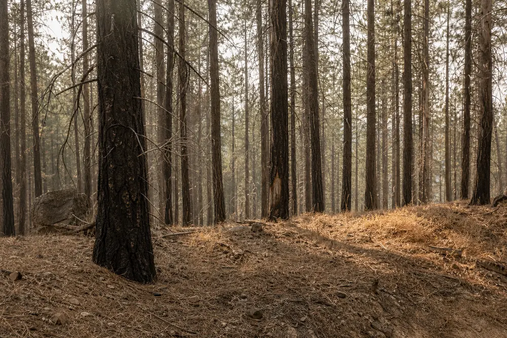
The bigger unknown is the ground itself near a recent burn, where standing dead trees fall without warning and loose soil sheds rock more readily, so recently burned areas often stay closed after the air is fine.
Can I use a camp stove during fire restrictions?
It depends on the stage in force, and the stage is published in the order itself rather than being consistent between agencies.
Stage 1 restrictions typically ban campfires and charcoal outside developed sites while still allowing a pressurized gas stove with a working shutoff valve, because that flame can be extinguished instantly. Stage 2 usually bans stoves of any kind along with smoking outside an enclosed vehicle and running an engine off paved surfaces.
Read the current order for the specific unit rather than assuming last month's rules apply, and carry cold food whenever any restriction is active.