
Zion National Park Hiking Starts with the Right Sector
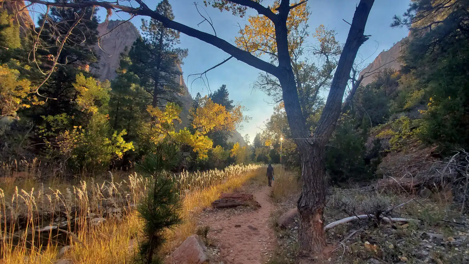
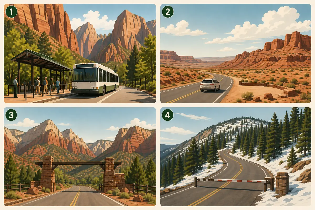
Zion works as four access systems, so a useful hiking plan starts with the sector and then resolves transport, terrain, permits, weather, and the overnight base.
Weather
Conditions vary sharply with elevation, terrain, and time of day. Summer canyon heat can exceed 100°F, monsoon storms can create flash floods, and winter snow or ice can close roads and reduce traction.
Plan the practical details
- Access
- Zion Canyon uses a seasonal shuttle, the east side uses private vehicles, and Kolob Canyons and Kolob Terrace have separate roads and access constraints.
- Permits
- No general reservation is required to enter Zion or ride the shuttle. Angels Landing beyond Scout Lookout, overnight backpacking, top-down Narrows travel, the Subway, and controlled wilderness activities require their applicable permits.
Zion National Park hiking works best when you choose the park sector before the trail name. Zion Canyon, the east side, Kolob Canyons, and Kolob Terrace use different roads, transport, weather assumptions, and overnight bases.
A hike that looks close on a map may begin an hour away by road. Another may require a shuttle, a separate permit, or a river check that has nothing to do with the weather above the visitor center.
Start with access, then terrain. Once those two choices agree, permits, heat, flood risk, season, and camping become specific checks instead of a long collection of warnings.
Zion Canyon
The park's busiest hiking corridor, reached by seasonal shuttle for most of the year. It concentrates trailheads for Angels Landing, Emerald Pools, the West Rim, and the Narrows.
East side and Zion-Mount Carmel Highway
A private-vehicle corridor through higher slickrock country, small pullouts, and trailheads outside the canyon shuttle system.
Kolob Canyons
A separate northwest entrance at Interstate 15 Exit 40, roughly 40 road miles from Zion Canyon, with a five-mile scenic road and access to more than 20 miles of trails.
Kolob Terrace
A high-country approach to Lava Point, Hop Valley, and wilderness trailheads on a seasonal road that can close for snow.
The four areas belong to one national park, but they do not form one practical trailhead.
A useful itinerary keeps each day inside one access system unless the transfer itself has been measured and accepted.
Which part of Zion is best for hiking?
Zion covers nearly 150,000 acres, and the cliffs that create its scenery also separate its roads. The distance between places is therefore better measured by the entrance and road that serve them than by a straight line across the map.
Zion Canyon holds the densest concentration of famous day hikes.
During shuttle season, the visitor center becomes the main transfer point and Zion Canyon Scenic Drive closes to private vehicles beyond the permitted exceptions.
The east side works differently.
State Route 9 crosses the Zion-Mount Carmel Highway, so hikers drive to trailheads and pullouts rather than joining the canyon shuttle line. That freedom creates a different constraint because parking areas can be small and roadside stopping is not automatically legal.
A full pullout should move you to a prepared alternative, not to the shoulder.
Kolob Canyons sits near Interstate 15, about 40 miles north of Zion Canyon and 17 miles south of Cedar City. Its five-mile scenic drive reaches overlooks and trail access below cliffs that rise about 2,000 feet.
The district can fill a full hiking day, especially when the objective extends into designated wilderness. Treating it as a quick add-on after a Zion Canyon morning usually replaces trail time with the drive between entrances.
Kolob Terrace is another separate decision. The road climbs toward Lava Point and high trailheads, gaining cooler conditions and wider views while also becoming more vulnerable to seasonal snow closures.
A sector is the first commitment. It determines the road, transport, likely parking pattern, elevation range, and reasonable fallback before distance or elevation gain enters the comparison.
After you choose one branch, compare only the trailheads, transport limits, and fallback options that the same branch can actually serve.
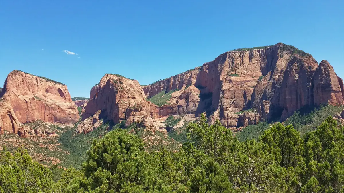
For a short first visit, Zion Canyon offers the greatest concentration of choices and the simplest shuttle-based orientation.
The east side fits a private-vehicle day, while Kolob Canyons and Kolob Terrace reward visitors who deliberately make them the main destination.
Do not let a famous trail erase this geography. Angels Landing belongs to Zion Canyon's shuttle and permit system, while a Kolob Canyons hike begins from a different entrance and cannot rescue a late canyon start without a substantial drive.
Use this overview to choose the district that suits the trip. Exact junctions, mileage, exposure, and turnaround points belong to the individual trail you select.
How does the Zion Canyon shuttle work for hikers?
The Zion Canyon shuttle is free, and riders do not need a ticket, permit, or reservation.
During the operating season, however, private vehicles cannot use Zion Canyon Scenic Drive even before the first bus or after the last bus.
That restriction makes the published schedule part of the hiking window. The National Park Service adjusts service seasonally, so an old screenshot or last year's itinerary cannot set this year's return time.
Shuttles generally arrive every five to ten minutes on the canyon line. The ride from the visitor center to Temple of Sinawava takes about 45 minutes, which means transport can consume roughly 90 minutes before waiting and walking are added.
Four shuttle decisions
- Before leaving lodgingCheck the current canyon and Springdale schedules, open stops, parking status, and the last bus out of the canyonThe hiking window begins with verified service rather than an assumed start time
- At the visitor centerBudget the queue and approximately 45-minute ride to the final stopTrail time is measured from arrival at the stop, not arrival at the park entrance
- At the trailheadSet a turnaround that protects more than one possible return busA slower descent or full bus does not force reliance on the final departure
- If service is missedBe prepared for the stated consequence, which can include a nine-mile walk to the visitor centerThe group does not confuse the final bus with a guaranteed ride
The park warns visitors not to wait for the last shuttle.
If that bus is full or has already left, the return to the visitor center may become a nine-mile road walk after the hike is supposedly finished.
Springdale has a separate free shuttle line with stops through town and at the pedestrian entrance.
It can reduce parking pressure near the visitor center, but it adds another transfer and follows its own hours.
Parking and transit are one system. Park lots often fill early, while paid parking in Springdale can pair with the town shuttle and pedestrian entrance when the visitor-center lots are unavailable.
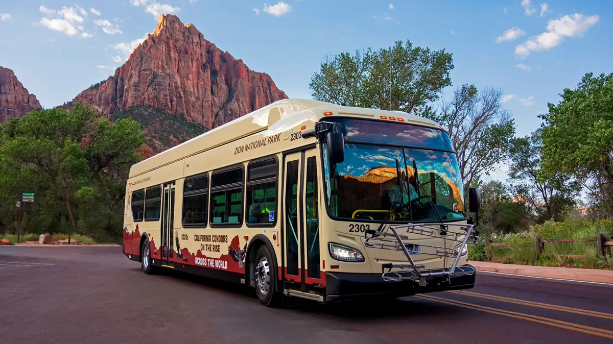
The canyon shuttle serves Zion Lodge and trailheads for several major hikes, but it does not serve the east side, Kolob Canyons, or Kolob Terrace. A shuttle-based backup must therefore remain inside the corridor unless the group has a vehicle and enough time for a district transfer.
Bicycles can provide another way into Zion Canyon Scenic Drive, though riders must follow current road and shuttle rules.
E-bikes do not ride inside shuttle buses or on their front racks, so a mechanical problem cannot be solved by assuming the bus will carry one out.
Keep food rules in mind when building the morning. Shuttle buses allow capped water bottles, while eating and smoking are prohibited, so breakfast and substantial snacks should be handled outside the vehicle.
The current schedule verified on August 24, 2026 shows long daily service through summer and reduced hours in fall, with a period of no service between late November and Christmas. Those dates remain source-dependent, and the official shuttle page should be checked again for the exact visit.
When shuttles are not operating, private vehicles may enter the Scenic Drive until parking controls or another closure intervenes. Winter access therefore exchanges a bus schedule for limited trailhead parking, ice, shorter daylight, and possible road restrictions.
Which Zion trail surface and exposure fit your ability?
Zion's easy, moderate, and strenuous labels summarize several different kinds of effort. Distance and elevation gain matter, but sand, water, cliff exposure, uneven slickrock, heat, and chains can change which person finds the same hike difficult.
Official easy hikes range from 0.4 to 3.5 miles and gain no more than 100 feet. Some are wheelchair accessible with assistance, although accessibility depends on the specific path and current condition rather than the difficulty label alone.
Moderate hikes range from one mile to 7.6 miles and add larger climbs.
The broad category can include a gentle-looking distance with loose sand or uneven steps that tax ankles and legs more than a smooth path would.
Strenuous hikes range from 2.5 to 9.4 miles and can gain up to 2,148 feet. Several also cross steep cliffs or use chains, so mental comfort with exposure becomes a separate requirement from fitness.
| Terrain family | What your body does | Condition that changes it | Better fit |
|---|---|---|---|
| Paved or riverside path | Walks a predictable surface with modest climbing | Heat, crowding, ice, or temporary damage can still limit access | Mixed groups seeking lower exposure and flexible turnaround points |
| Sand and uneven desert tread | Pushes through loose footing, rock steps, and irregular grades | Midday heat and deep sand raise effort faster than mileage suggests | Hikers with stable footwear and enough time for a slower pace |
| Slickrock and cliff-edge trail | Balances on rock, climbs steps, and may travel near open drops | Rain, ice, wind, or discomfort with heights can remove the option | Sure-footed hikers in dry conditions who remain calm near exposure |
| River or slot-canyon travel | Steps through moving water over hidden, rounded rocks | Flow, water temperature, cyanobacteria, and upstream storms control feasibility | Prepared groups that have checked every current water condition |
Paved does not mean consequence-free. Pa'rus Trail and portions of Riverside Walk reduce technical difficulty, but summer heat, crowding, maintenance, and ice still decide whether the path fits the group.
Sand creates quiet effort. A route can show modest elevation gain while every step slips backward, and exposed desert tread may offer almost no relief from direct sun.
Slickrock can be secure when dry and treacherous when wet or icy. Near an edge, the important question is not whether you can climb the grade but whether every person can place feet deliberately while looking at open space.
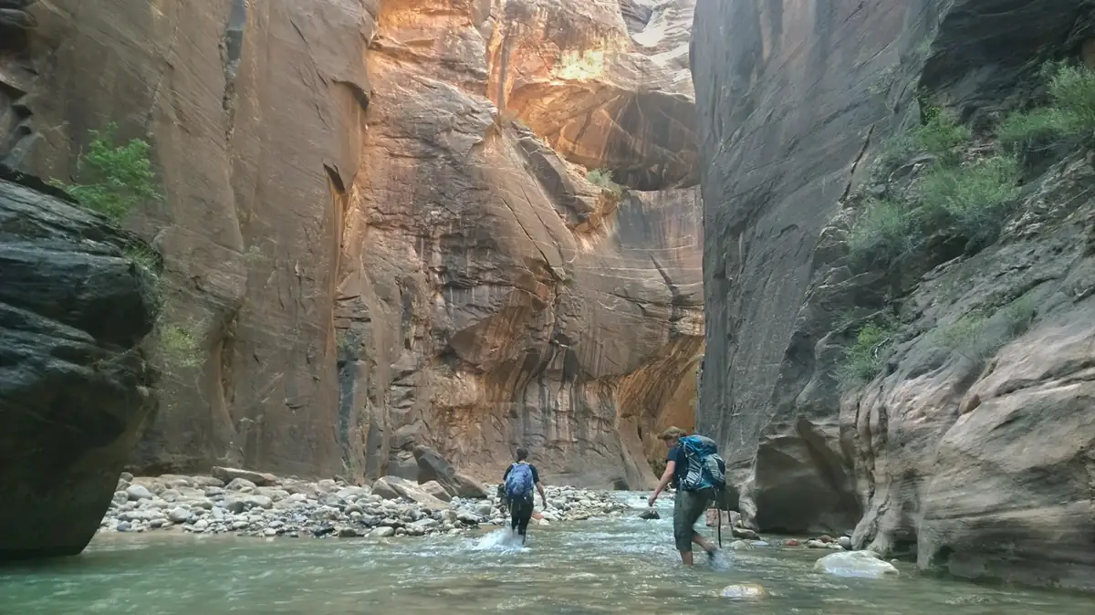
River travel adds moving conditions that a trail statistic cannot contain. Depth, current, water temperature, rounded stones, upstream rain, and river health all change after the distance was published.
Difficulty can move during the same day. A dry sandstone ascent in the morning can become slick after a storm, and a manageable river walk can gain force as upstream runoff reaches the canyon.
Use the least confident member of the group as the exposure limit. A chain or cliff section does not become suitable because the strongest hiker is comfortable, and a turnaround is cheaper than forcing someone to reverse in panic.
A lower-exposure alternative should change the surface, not only the trail name. Replacing one exposed slickrock climb with another leaves wind, wet rock, and fear of heights in place.
Which Zion hikes require permits?
Most visitors do not need a reservation or permit to enter Zion National Park, ride the shuttle, or visit most of Zion Canyon.
They do need to pay the applicable park entrance fee.
Permits attach to specific activities rather than to ordinary park admission. Confirm the activity first because an entrance pass, campground reservation, and wilderness permit solve different problems.
- Park entry
- Entrance fee required, but no general entry reservation
- Park shuttle
- Free, with no ticket, permit, or reservation
- Angels Landing
- Permit required for everyone continuing beyond Scout Lookout onto Angels Landing
- Scout Lookout
- No Angels Landing permit required when the hike ends there
- Bottom-up Narrows day hike
- No permit required from Temple of Sinawava going upstream
- Top-down Narrows and Subway
- Wilderness permit requirements apply
- Overnight backpacking
- Wilderness permit required for every overnight trip
- Canyoneering
- Permit required for controlled technical and wilderness routes
- Details verified
- August 24, 2026
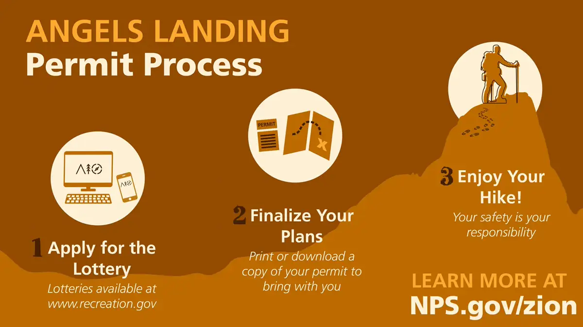
Angels Landing is the most visible exception.
Everyone who continues from Scout Lookout onto Angels Landing needs the specific permit, while hikers who stop at Scout Lookout do not.
That distinction should be settled before lodging and shuttle timing are built around the hike. The permit does not reserve parking, a shuttle seat, favorable weather, or a safe passage through the chain section.
The bottom-up Narrows day hike from Temple of Sinawava does not require a wilderness permit. Top-down Narrows trips, overnight travel, the Subway, and many canyoneering objectives follow separate permit rules.
Backpacking searches can blur this line. Zion Wilderness contains more than 90 miles of trails and designated overnight sites, but every overnight backpacking trip requires a wilderness permit.
Group size can also matter in wilderness. At Kolob Canyons, affiliated groups larger than 12 are limited to Timber Creek Overlook Trail, which protects the surrounding designated wilderness from concentrated use.
Do not infer permission from an open trailhead. A route can be physically accessible while the intended activity still requires a permit, and the correct response is to select an activity that is legal under the documents already held.
When is it too hot to hike in Zion?
Summer daytime temperatures in Zion Canyon regularly exceed 100°F.
Open slickrock, sand, and unshaded climbs absorb that heat, while narrow or forested sections may remain cooler for part of the morning.
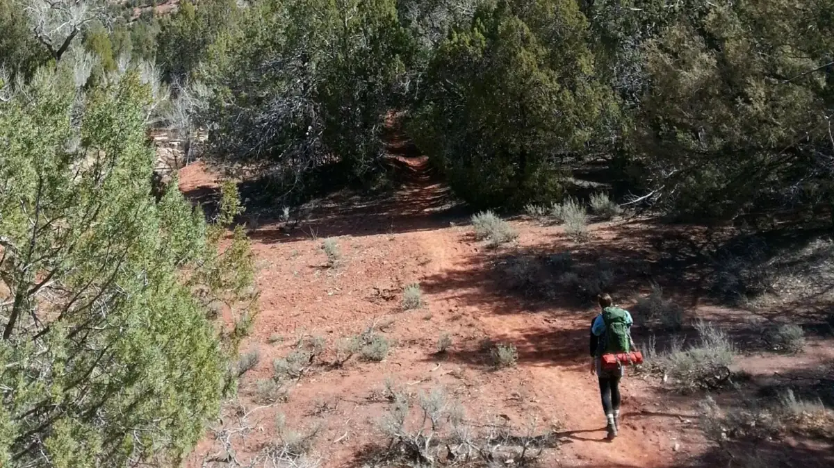
Elevation complicates any single forecast. Temperature changes across the park's vertical range, and day and night can differ by more than 30°F, so a cool sunrise does not describe the return across an exposed bench.
Heat belongs in trail selection. Start time, shade, climb direction, water access, and the length of the exposed return matter before pace or summit ambition.
A pre-dawn start can reduce exposure, but it does not make the entire day cool. Estimate when the group will cross the most exposed ground on the return, including shuttle waits and time spent at viewpoints.
South Entrance campgrounds illustrate the same issue.
Watchman and South sit in desert terrain with few trees, and NPS notes that daytime summer temperatures there often exceed 95°F.
Lava Point sits much higher and can be cooler, yet its seasonal road and distance from Zion Canyon create different constraints. Moving the overnight base to escape heat can add a long drive or introduce a road closure.
- Check the forecast for the actual park sector and elevation
- Identify the longest unshaded segment in both directions
- Carry the water and electrolytes required by the people, duration, and forecast
- Set a heat-based turnaround before the climb begins
- Move to a shaded or lower-effort surface if the group is heating faster than expected
- Protect enough energy and water for the shuttle stop or vehicle return
Water planning should respond to conditions rather than one universal bottle count. Group size, body size, temperature, effort, duration, shade, and acclimatization all change the requirement.
Heat illness can develop before someone announces a crisis. Watch for a pace that collapses, unusual irritability, dizziness, nausea, confusion, or the inability to cool, and end the exposure while the group can still move deliberately.
The best substitute removes the heat source. A shaded riverside walk, an earlier session, or a higher and safely accessible district may solve the problem, while another open sandstone climb merely changes the scenery.
Can flash floods happen under a clear sky in Zion?
Flash water can arrive from rain that fell beyond the visible canyon walls. A dry trailhead and blue sky therefore do not prove that a slot canyon or river corridor is safe.
Mid-to-late summer monsoons increase the chance of sudden heavy rain. Narrow drainages concentrate runoff quickly, leaving little room to escape once muddy water, debris, and a rising current enter the canyon.
The official checks answer different questions.
The National Weather Service warning addresses immediate danger, the regional Flash Flood Potential rating covers broader drainage risk, and river gauges show the present flow where instruments are available.
- Read the National Weather Service forecast and active warnings for the relevant drainage
- Check the Southern Utah Flash Flood Potential rating rather than only the local hourly forecast
- Check the North Fork Virgin River gauge before any Narrows plan
- Confirm the current NPS trail and river status on the morning of the hike
- Treat thunder, darkening water, rising flow, debris, or a sudden change in clarity as reasons to leave the channel
- Never enter a closed canyon or river corridor
The Narrows closes when the North Fork Virgin River exceeds 150 cubic feet per second. It also closes when the National Weather Service issues a Flash Flood Warning, so a permit status or shuttle arrival cannot override the closure.
Flow is not the only water concern.
NPS warns visitors to avoid exposure to toxic cyanobacteria, keep their heads out of park rivers, and never drink untreated river water.
River difficulty also changes below the closure threshold. Stronger current, deeper water, cold conditions, and reduced visibility around submerged rocks can make each step slower and more tiring.
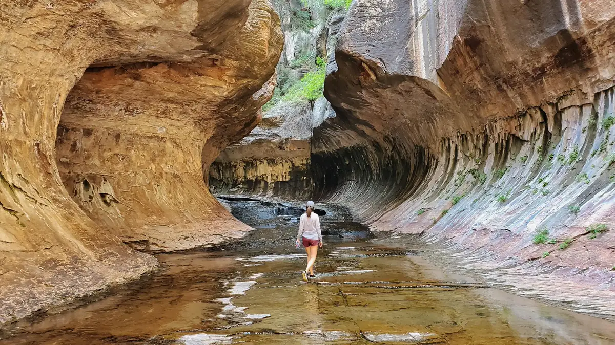
Cold water can coexist with hot air. Clothing and footwear chosen only for the parking-lot temperature may leave a hiker chilled during hours of wading.
The drainage is the weather unit. Check where the water comes from, not only where the trail begins.
A flood-safe fallback must leave the drainage. Another slot canyon, wash, or river walk may share the same upstream storm and therefore fail for the same reason.
When is the best time to hike Zion?
There is no single best season for every Zion hike. Spring can offer cool land trails while high water limits river travel, and winter can restore private driving in Zion Canyon while ice closes the margin on steep sandstone.
Choose a season by the terrain and district you want, then accept the access and hazard tradeoff that accompanies it. The operating calendar matters as much as average temperature.
| Season | Strongest fit | Main limits | Decision to verify |
|---|---|---|---|
| Spring | Cooler desert hiking, waterfalls, and lower exposed routes | Variable rain, cold water, high river flow, lingering ice, and the return of shuttle restrictions | Shuttle start, river flow, trail status, and traction at elevation |
| Summer | Long daylight and broad high-country access | Canyon heat above 100°F, crowded transport, monsoon storms, and flash floods | Exposed return time, flood potential, water status, and final shuttle |
| Fall | Cooling temperatures, long hiking windows early in the season, and reduced monsoon frequency | Shortening daylight, continued shuttle rules, cold mornings, and changing campground operations | Exact service end dates, overnight lows, and sunset margin |
| Winter | Quiet canyon days and possible private-vehicle access on Scenic Drive | Ice, snow, short daylight, limited shuttle service, and seasonal Kolob road closures | Road opening, traction, daylight, and whether the intended trail holds snow or ice |
Spring rewards flexibility.
Warm sunlight can make the canyon floor feel ready for summer while shaded ledges, high trails, and water routes remain cold or icy.
High snowmelt can raise the Virgin River and close the Narrows even on a clear day. Land routes may be the better spring objective, provided rain and wet sandstone do not remove traction.
Summer opens many high-country choices and supplies the longest daylight. It also combines the year's strongest canyon heat with heavy visitation and the monsoon pattern that threatens narrow terrain.
An early start solves only part of that combination. A long hike still returns through afternoon heat, and a morning river entry still depends on the full drainage forecast.
Fall often offers the most balanced conditions for sustained land hiking. Temperatures ease while the shuttle continues, though shorter days and seasonal service changes require more attention as the calendar advances.
Winter changes the transport system. Scenic Drive may open to private vehicles when shuttles stop, but limited parking can close the road temporarily, and snow or ice can turn a simple grade into a traction problem.
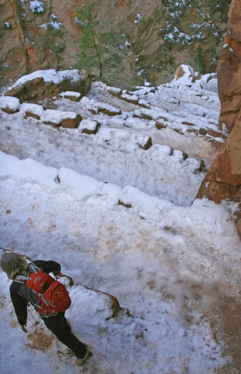
Kolob roads respond differently from Zion Canyon. Kolob Terrace usually closes for months above Maloney Hill when snow arrives, and Kolob Canyons Road can close frequently in winter.
Winter daytime temperatures in Zion Canyon typically range from about 30°F to 60°F. That broad band says little about ice in shade, wind on an exposed rim, or snow at a higher trailhead, so the current condition matters more than the monthly average.
Where should you stay for Zion hiking?
Zion has three park campgrounds, and reservations are required.
Watchman and South sit near the South Entrance, while Lava Point lies high on Kolob Terrace about an hour from Zion Canyon.
Those locations make the campground part of the hiking decision. A Zion Canyon base supports the visitor center and shuttle, while Lava Point supports high-country access only when its road and campground are open.
Watchman Campground
South Entrance location, year-round operation, and reservations offered up to six months ahead. It is the clearest park base for early access to the visitor center and canyon shuttle.
South Campground
South Entrance location with seasonal operation and reservations offered up to 14 days ahead. Check current rehabilitation and opening status before depending on it.
Lava Point Campground
Booking opens only 14 days ahead when this high-country campground is operating. The site is about an hour from Zion Canyon and depends on Kolob Terrace Road being open.
From mid-March through late November, park campgrounds fill almost every night.
An open-looking site is not available unless the reservation system confirms it.
Watchman offers the longest booking horizon and year-round operation. Its location can reduce the morning transfer to the canyon shuttle, but it does not reserve visitor-center parking or a place on the next bus.
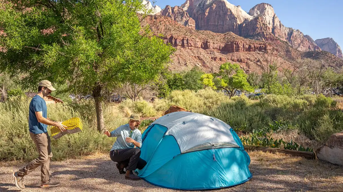
South Campground uses a shorter reservation window and operates seasonally. Current rehabilitation work or other conditions can affect availability, so its status must be checked rather than inferred from a general camping page.
Lava Point is a different kind of base. It places campers near high-country access but adds a long trip to Zion Canyon and can become unreachable when snow closes Kolob Terrace Road.
Summer camping near the South Entrance brings its own heat exposure. NPS notes that this desert area has few trees and often exceeds 95°F during the day, so a campsite is not guaranteed afternoon relief.
The campground should follow the primary district, not the other way around. Booking Lava Point for a canyon-focused trip or a South Entrance site for several Kolob Canyons days creates a repeated transfer that consumes the cool morning hours.
If no park campground is available, lodging or camping outside the boundary can still support the trip. Measure the morning drive, parking plan, and shuttle transfer from that actual base rather than from the park entrance on a map.
What makes a useful backup hike in Zion?
Many backup plans are duplicates wearing different trail names. Two Zion Canyon hikes can share the same full parking lot, two slot canyons can share the same storm, and two exposed climbs can share the same heat or ice.
A useful fallback removes the reason the primary plan might fail. It changes access, hazard exposure, permit dependency, or physical demand while staying realistic from the same overnight base.
- Give the backup a different parking or transport dependency
- Remove the primary hazard, such as flood exposure, cliff exposure, or open midday heat
- Avoid a second activity that needs the same unavailable permit
- Keep the transfer short enough to preserve a safe hiking window
- Download both plans and their maps for offline use
- Check current roads, trails, river status, alerts, and shuttle service that morning
- Tell someone which of the two plans you selected
If Zion Canyon parking or shuttle access breaks the first plan, an east-side option may provide independent vehicle access. That substitution works only when legal parking, weather, daylight, and drive time have already been checked.
If flash-flood potential removes the Narrows, another slot canyon is not independent. Choose open terrain outside the drainage and reassess heat exposure because the safer flood option may be hotter.
If an Angels Landing permit is unavailable, Scout Lookout may remain a legal objective without continuing onto Angels Landing. Another non-permit trail can also work, but it should match the group's exposure tolerance rather than imitate the chain section.
Current closures belong in the final decision.
Hidden Canyon remains under a long-term rockfall closure, and the traditional Observation Point approach from Weeping Rock remains closed, so an old map or blog itinerary can direct hikers toward an unavailable line.
Road status can remove an entire sector. Kolob Terrace and Kolob Canyons roads close for winter conditions, while Zion Canyon Scenic Drive may close temporarily to private vehicles when parking fills outside shuttle season.
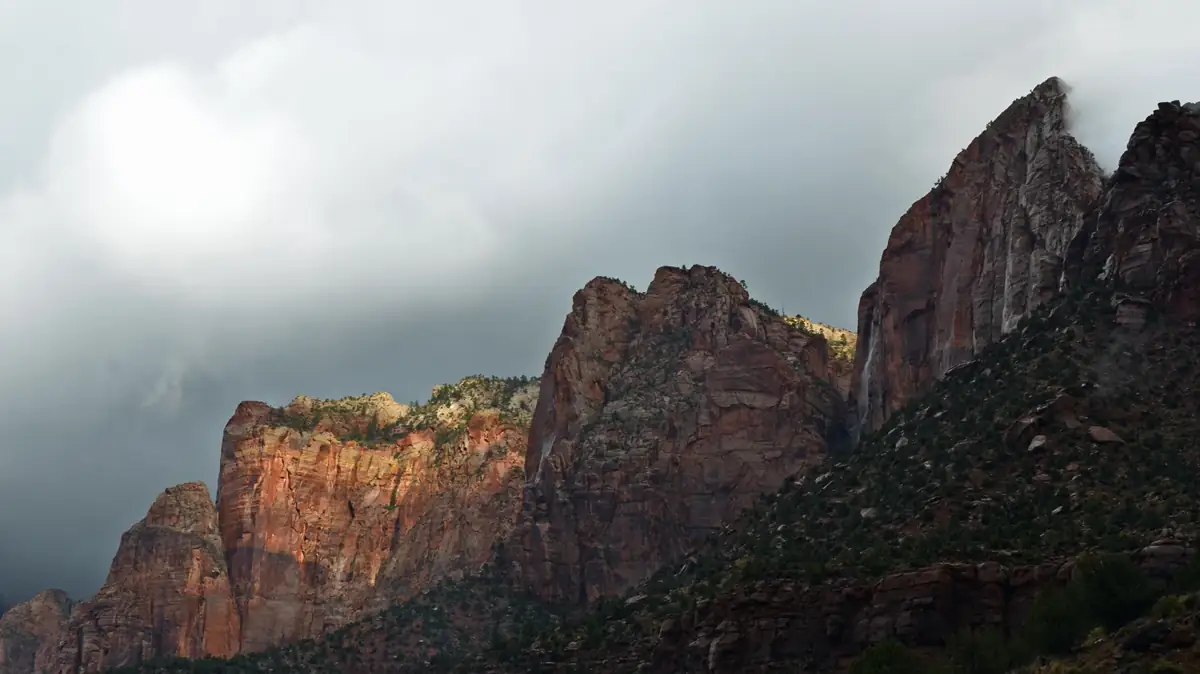
The final check should be short because the analysis already happened. You are confirming live inputs against two prepared options, not searching for a third trail while cell service and daylight disappear.
Different failure modes create resilience. A backup that depends on the same road, permit, forecast, and terrain is only a second name on the same fragile plan.
End the choice with the person who has the least margin. The plan must fit the group's slowest pace, lowest heat tolerance, least confidence near exposure, and most restrictive permit status.
Sources
Park districts, Kolob Canyons access, acreage, road distance, cliff scale, wilderness use, and group limits were verified through the National Park Service Kolob Canyons page on August 24, 2026.
Shuttle restrictions, service intervals, travel time, vehicle rules, parking guidance, and missed-bus consequences came from the official Zion Canyon Shuttle System page.
Trail difficulty bands, distance and elevation ranges, exposure guidance, and the Scout Lookout permit distinction came from the NPS Zion Canyon Trail Descriptions page.
Entry, shuttle, Angels Landing, Narrows, backpacking, canyoneering, and wilderness authorization details came from the current NPS Permits and Reservations page.
Temperature variation, live weather resources, river gauges, and flash-flood information came from the NPS Weather and Climate and Current Conditions pages.
Campground locations, operating patterns, booking windows, heat exposure, and wilderness-camping requirements came from the official NPS Camping page.
RespectHazards to plan for
- extreme heat
- flash floods
- cliff exposure
- wet or icy sandstone
- cold river water and cyanobacteria
- seasonal road closures