
How Do You Navigate With GPS Without Following It Blindly?
The screen supplies a position. You still have to decide whether it belongs to the terrain in front of you.
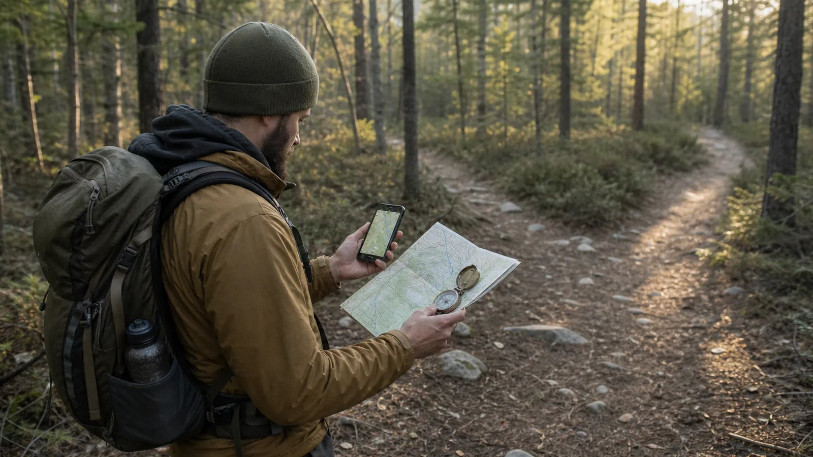
GPS navigation works when you treat the blue dot as one observation rather than an instruction. A reliable field loop checks the device against terrain, direction, distance, and a backup before each important choice.
A GPS receiver can calculate a position with impressive precision and still leave the important question unanswered. Navigation begins when you decide whether that position agrees with the route, the ground, and the distance already traveled.
That distinction matters at the ordinary moments where hikers go wrong. An unsigned fork, a trail hidden by snow, or a dot drifting under cliffs needs judgement rather than another glance at the screen.
What does a GPS tell you, and what must you still decide?
GPS supplies coordinates, an estimated accuracy, direction of travel when you are moving, and distance to stored points.
A mapping app or handheld receiver then places that estimate over a base map, route, or recorded track.
Position
Where the receiver estimates you are, including its stated uncertainty
Direction
Whether your movement and the intended route point the same way
Distance
Whether the next known feature is arriving when expected
Terrain
Whether ridges, drainages, slopes, and junctions match the map
Use those four checks as one system. If one disagrees with the others, stop and find the reason before covering more ground.
The position fix and the route line come from different sources. A good fix can sit on an outdated trail line, while a current route file can be displayed beneath a weak fix.
The small accuracy circle around a phone position is more honest than the sharp dot in its center. A circle 40 feet wide means the true position may fall anywhere in that area, which can cover both branches of a close junction.
Treat the dot as evidence. Confirm it against the direction you have been walking, the time or distance since the last known point, and a terrain feature that exists independently of the device.
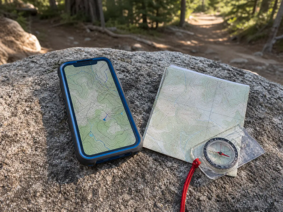
Useful confirmation clues include:
- A creek crossing or bridge that appears at the expected distance. - A sustained climb that starts where the contours predict it. - A trail bend that changes your direction by roughly the expected amount. - A ridge, road, or open area that is difficult to mistake for a minor feature.
A position that fits all four clues deserves confidence. A position that fits only the route line deserves another check.
Notice what the receiver does not observe. It cannot see that a bridge washed out, that a slope is icy, that a gate is locked, or that the line under the dot crosses land where travel is not allowed.
It also cannot decide whether the remaining distance fits your daylight and group. Those are route decisions that use the position but do not come from it.
What should you download before a hike?
Satellite positioning works without cell service because the receiver listens to navigation satellites.
The receiver can work while the map does not. Map imagery, trail data, route files, weather, and search functions in an app may still need a data connection unless you stored them locally.
Test in airplane mode. Open the route, zoom across the whole area, inspect the surrounding terrain, and wait for the phone to show a position without Wi-Fi.
- Offline base map and topographic layer covering the route and surrounding terrain
- The intended route or track file stored on the device
- Critical waypoints saved with names you will recognize under pressure
- Coordinate format and map datum checked when coordinates will be shared
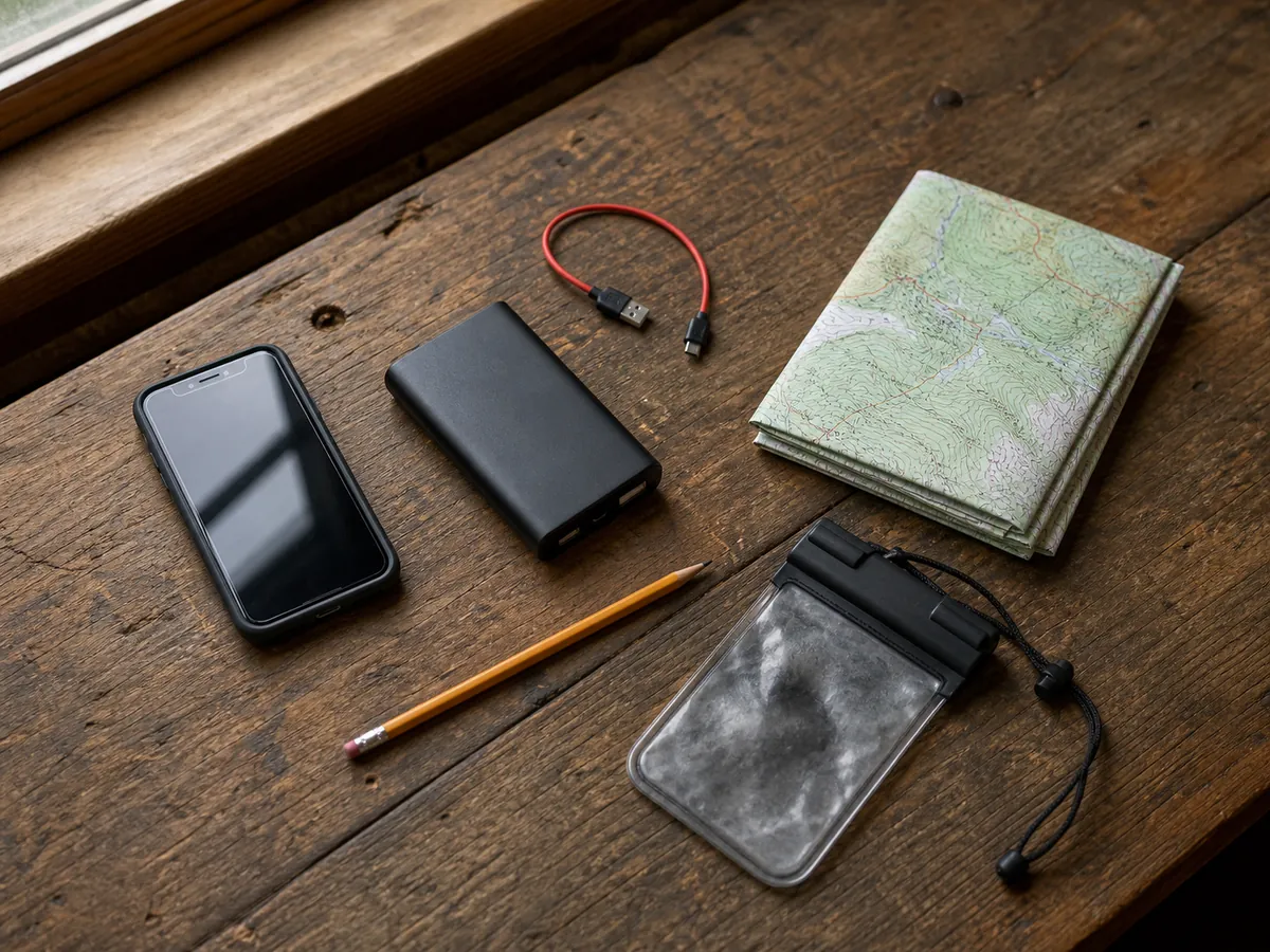
- Full battery, suitable cable, and protected spare power
- A paper overview and route notes that do not depend on the phone
Download more map than the narrow trail corridor. A detour, wrong turn, blocked crossing, or evacuation often pushes the real question beyond the tiles a route-only download saved.
Coordinate format and datum matter most when a hiker reads a position to another person or copies a waypoint from a map. Degrees and decimal minutes are not interchangeable with decimal degrees, and a datum mismatch can move a plotted point enough to confuse a field search.
Write the selected format in the route notes. That small label prevents a rescuer or trip partner from having to infer what a string of numbers means.
Open every saved route after the download finishes. Some apps cache the screen you viewed but leave nearby zoom levels or map layers unavailable, so a route can look complete at home and become a blank field after you zoom on trail.
Save the source and date of the route as well. An official current route, a personal recording from last year, and a public user track may draw similar lines while carrying very different confidence.
How do you confirm the blue dot is believable?
Open sky usually gives a receiver a cleaner view than dense canopy, a narrow canyon, or the base of a cliff. Reflected and obstructed satellite signals can widen the accuracy estimate or make a stationary position jump.
Set the device where it has a reasonable view of the sky and stand still for a short time.
Watch the uncertainty, not only the dot. The accuracy estimate should tighten and the position should settle rather than chase each movement across the map.
| What you see | What it may mean | Safer response |
|---|---|---|
| Wide accuracy circle | Weak satellite geometry or obstructed sky | Wait in a safer open position and compare terrain |
| Dot jumps while you stand still | Reflected or unstable signals | Do not use one jump to choose a branch |
| Track runs parallel to the trail | Map alignment or fix error | Compare a clear landform and the next junction |
| Stable dot conflicts with the ground | Route or map layer may be wrong | Stop and diagnose the data before moving |
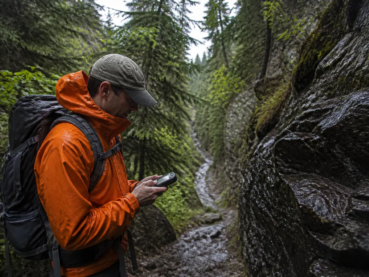
Phone compasses can also point poorly after magnetic interference or when the device has not been calibrated. Direction of travel becomes more trustworthy after you walk several purposeful steps than when you rotate the phone while standing still.
Precision is not agreement. A stable but implausible position can reveal bad route data, the wrong offline layer, or a coordinate copied in a different format.
Altitude from a handheld receiver is useful as another rough clue, especially on a long climb, but satellite elevation often moves more than horizontal position. A calibrated barometric altimeter may be steadier over a short period, while changing weather can move its reading.
Use elevation to support a contour or known pass, not to overrule the drainage and slope in front of you.
Which GPS waypoints are worth saving?
A waypoint earns space when it changes what you do.
Hundreds of scenic pins make the map noisy, while four operational points can carry an entire route plan. Save the trailhead, critical junctions, resources that change timing, and turnaround boundaries before adding optional locations.
Mark the trailhead after the receiver has a stable fix, then compare that saved point with the mapped parking area. This catches a gross map or datum problem while the vehicle is still visible.
A point is not a path. The straight bearing shown by a receiver can cross a cliff, deep water, private land, or terrain far rougher than the trail.
A route is a planned sequence you intend to follow, while a track is a record of positions the receiver estimated over time.
A bearing gives direction, not permission to travel straight. It says nothing about the ground between you and the point.
That distinction matters during a correction. A recorded track can help you retrace known ground, but neither a route line nor a bearing proves that a direct shortcut is safe.
Useful waypoint notes are literal:
- North fork, take left branch. - Reliable bridge, check river level. - Camp boundary, do not continue after dark. - Last confirmed water, seasonal source ahead.
The note should tell a tired reader why the point matters. A name such as "Waypoint 017" preserves coordinates and loses the decision.
Do not mark every pause as a waypoint. Save the few points you would use to answer a radio call, reverse a route, protect a turnaround time, or locate a resource that could change the trip.
For an uncertain water source or seasonal bridge, add the uncertainty to the name or note. The point then prompts verification instead of presenting old information as a current fact.
How should you check progress while moving?
Frequent screen watching narrows attention to the graphic line and hides the trail evidence that could correct it.
Predict, walk, then confirm before the next decision.
- Predict the next featureName the junction, climb, creek, bend, or opening you expect
- Walk with the screen awayKeep trail signs, footing, weather, and terrain in view
- Confirm direction and distanceCheck that two independent clues agree at the feature
- Stop when one clue failsResolve the discrepancy before the distance from certainty grows
Check before commitment. Look at the map on the approach to a fork, not fifty yards after taking one branch.
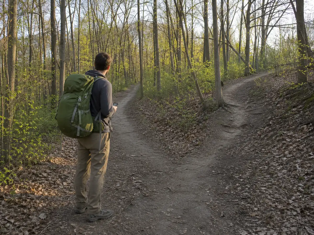
Distance provides a quiet error signal. If a bridge expected in half a mile has not appeared after a mile, continuing because the line still looks close is weaker than returning to the last confirmed feature.
Track recording can support this loop, but choose a recording interval that preserves meaningful turns without draining power unnecessarily.
Verify early in the hike that the track is actually recording rather than discovering an empty history when it is needed.
Keep the phone warm with your cold-weather hiking system and protected from rain, but not buried so deeply that checks become inconvenient.
A device that takes several minutes to retrieve encourages the group to skip the short checks that prevent long corrections.
When several people carry the route, agree which version is authoritative before departure. Conflicting files with slightly different turns create a debate precisely where the group needs one clear plan.
What should you do when the track and terrain disagree?
Stop in a safe place and identify the last confirmed point where route, terrain, direction, and distance all agreed. That point is more valuable than the nearest part of the colored line.
Check for a simple explanation first:
- The wrong route or reverse direction is active. - The offline map layer is stale or incomplete. - A user track follows an old trail alignment. - The position estimate is weak under cliffs or canopy. - A turn was missed before the recorded track began.
A breadcrumb track proves where the receiver estimated you traveled.
Trackback is not a safety guarantee. The same path may no longer be safe in darkness, rising water, wildfire smoke, snow, or changed trail conditions.
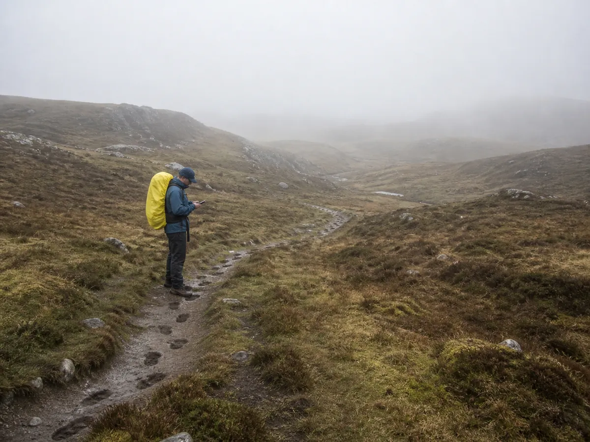
If you can return confidently to the last confirmed point, do that before attempting another interpretation. If you no longer know how to reach that point, the situation has moved beyond a navigation correction into a lost-person decision.
Can GPS replace a map and compass?
Two apps on one phone are not independent backups. They share the same battery, screen, charging port, operating system, and often the same underlying trail data.
Choose a backup that fails differently. Carry a paper topographic map, simple route notes, and a compass you know how to use, with enough surrounding terrain to support a retreat or detour.
A screenshot preserves a route image when an app fails, but it cannot calculate position and may omit scale or neighboring terrain.
Back up the failure mode. A second powered device adds useful redundancy, yet it still does not replace an independent overview.
Practice the whole loop on a familiar marked trail:
- Download the route and switch to airplane mode. - Predict each major junction and terrain change. - Confirm the fix using direction, distance, and visible ground. - Save one waypoint and navigate back to it by the safe trail. - Turn the screen off and describe the paper route home.
The goal is not to reject GPS. The goal is to know what the receiver knows, what it does not know, and which clue gets the final vote.
Sources
The four core receiver functions, waypoint use, track recording, coordinate formats, and datum matching are described in REI's guide to choosing and using a hiking GPS.
The U.S. government explains position accuracy, satellite geometry, signal blockage, multipath, and mapping-software errors through GPS.gov's accuracy guidance and the USGS GPS education collection.
National Park Service trip-planning advice places navigation tools, route knowledge, and independent preparation among the essentials in its Trip Planning Guide.
Step by stepPractical steps
- Download the route and surrounding map for offline use
- Confirm the map datum and coordinate format
- Mark decision points rather than every bend
- Check position before and after every important junction
- Compare the screen with terrain and direction of travel
- Stop when the track and terrain disagree
- Return to the last confirmed point instead of cutting toward the line
AnswersQuestions readers ask
Can GPS work without cell service?
Yes. The receiver can calculate a position without cell service, but map tiles, route files, weather, and search may not be available unless you downloaded them and tested airplane mode.
Why does a phone position jump when you are standing still?
Trees, cliffs, buildings, and reflected signals can weaken or distort the fix. Wait where the sky view is safer, watch the accuracy estimate, and compare the result with terrain and distance.
Does the phone compass work while you are standing still?
It may point poorly after magnetic interference or before calibration. Direction of travel becomes more useful after several purposeful steps, while a magnetic compass provides an independent check.
Should you follow a recorded GPS track exactly?
No. A track is a history of estimated positions, not proof that the same ground is safe or legal now. Stop when the line, terrain, and current conditions disagree.