
How Do You Stay Found Before the Trail Stops Making Sense?
Keep a short, unbroken chain between where you were certain and where you stand now.
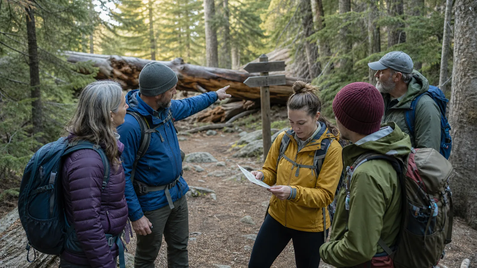
Staying found is a prevention skill built from small checks at junctions, terrain changes, group gaps, and turnaround points. The aim is to notice uncertainty while returning to certainty is still easy.
Most hikers do not become lost at one dramatic turn.
They pass several small chances to notice that the route, distance, terrain, or group no longer matches the plan.
Staying found means keeping those discrepancies small enough to reverse. You preserve a continuous chain from one confirmed position to the next instead of waiting for a navigation problem to feel urgent.
What does staying found mean on a trail?
A confirmed point is more specific than "somewhere on the trail." It is the signed fork, bridge, sharp bend, ridge crossing, or trailhead whose identity agrees with the map and the ground.
- Last confirmed point
- A place you can identify again from the return direction
- Travel direction
- The general heading your route should maintain
- Expected next feature
- A junction, climb, creek, ridge, road, or opening you can test
- Elapsed time or distance
- A limit that tells you when the feature is overdue
That chain does not require staring at a screen. It requires noticing when one link has failed and refusing to build another assumption on top of it.
Certainty comes from agreement. The habit works with a topographic map, GPS, signs, and visible terrain together.
Record the time or distance there, then predict the next feature. The prediction turns walking into a test because the route must produce something observable within a reasonable range.
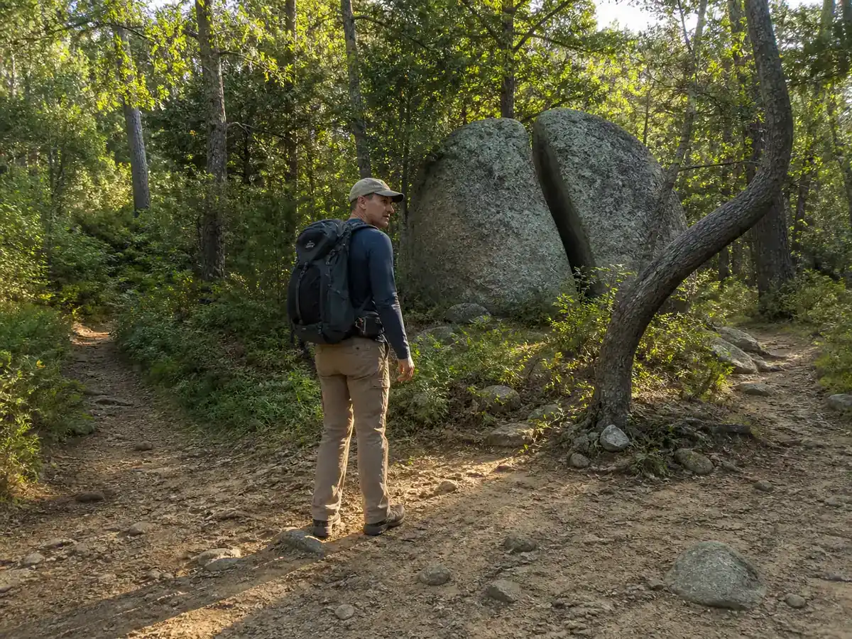
Certainty has a location. When the expected feature does not appear, the last confirmed point gives you somewhere useful to return rather than a vague direction to search.
The chain weakens through ordinary habits:
- Talking through a junction without seeing which branch was chosen. - Following footsteps or another group without confirming their destination. - Explaining away a missing creek, climb, or road because the trail still looks established. - Letting the fastest hiker move beyond sight with the route on one phone.
Uncertainty grows with every additional turn and minute. A discrepancy noticed at the fork may cost a short walk back, while the same discrepancy accepted for a mile can create several plausible return routes.
This is the boundary between prevention and emergency response. If you can identify and safely return to the last confirmed point, you are correcting early.
If you cannot, stop treating the problem as a routine route check.
Route notes strengthen that boundary when they describe transitions rather than only destinations. "Leave the creek at the second bridge and climb west for half a mile" gives both a decision and a feature that should appear.
A shared location supports the plan from outside the group, but it does not remove the need for each hiker to know the current route.
Which moments deserve a deliberate navigation check?
A fixed timer gives equal attention to a straight road and a complex junction.
Decision points deserve more attention because they change direction, visibility, route options, or the cost of reversing.
High-value route checks
- Before a forkConfirm the intended branch while every option is visibleThe choice is made from the map rather than from momentum
- Just after a turnLook back and note the return viewThe same junction can be recognized from homeward travel
- At a terrain changeConfirm the predicted climb, water, ridge, or clearingTerrain independently supports the route line
- When a feature is overdueStop and compare direction, distance, and the last confirmed pointA small discrepancy stays reversible
Look back after every consequential turn. Signs often face one direction, side trails can be hidden from the opposite approach, and a broad fork can resemble a narrow merge on the return.
Useful memory cues are concrete:
- The left branch climbs immediately beside a pale rock. - The bridge has a smaller stream joining from upstream. - The return path enters behind the fallen log. - The road crossing leaves through the second opening, not the first.
Photographing a confusing junction can help, but frame the route relationship rather than only the sign. A close picture of an arrow may omit the three paths you need to distinguish later.
A missing feature is information. A feature expected after 30 minutes may arrive earlier or later with pace, yet it should not remain missing after every other clue says the route has continued well beyond it.
Trail markers deserve confirmation rather than blind trust. A fallen marker, temporary detour, livestock path, or sign for another destination can look official while pointing away from the planned route.
Read the words, identify the mapped branch, and confirm the travel direction. Three seconds spent at the sign protects far more time than recognizing the error at the next drainage.
Use handrails and catching features to bound your route
A handrail is a linear feature followed in roughly the same direction as travel. Trails, ridges, shorelines, stream edges, fences, and roads can all serve that job when they are safe and mapped.
A catching feature lies beyond a target and tells you that you have gone far enough. A major road, unmistakable ridge crest, or large creek can reveal an overshoot even when the smaller destination was missed.
| Feature | Navigation job | Important limit |
|---|---|---|
| Trail or road | Handrail followed along its length | Intersections still require confirmation |
| Broad ridge | Handrail that keeps travel on high ground | Spurs can split and lead away |
| Stream edge | Handrail where travel beside it is safe | Banks may become cliffs, brush, or flood channels |
| Major road or ridge crest | Catching feature beyond a target | Must be safely reachable and unmistakable |
| Cliff or dangerous river | Visible boundary | Never choose a hazard as the planned stopping method |
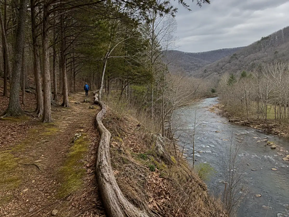
Use a handrail and catching feature together. For example, follow a ridge toward a saddle, with a road beyond the saddle as the sign that the descent point was missed.
A handrail contains an error only while it remains safe and relevant.
Drainages can tighten into cliffs, streams can rise, and fences can lead away from access or mark private property.
The map must show where the feature goes, while current conditions decide whether traveling beside it is sensible.
How do groups stay together when pace and visibility change?
A group can remain on the correct trail while one member becomes lost. That happens when the route lives with the leader and the spacing grows through junctions, fog, trees, or fatigue.
Every person needs the destination, route outline, and next checkpoint. The group regroups before each junction, one lead and one sweep account for everyone between them, and spacing shortens until visual or voice contact works in the current visibility.
If the sweep or next person is missing, the lead stops immediately. Nobody leaves the route alone to search without a deliberate group plan.
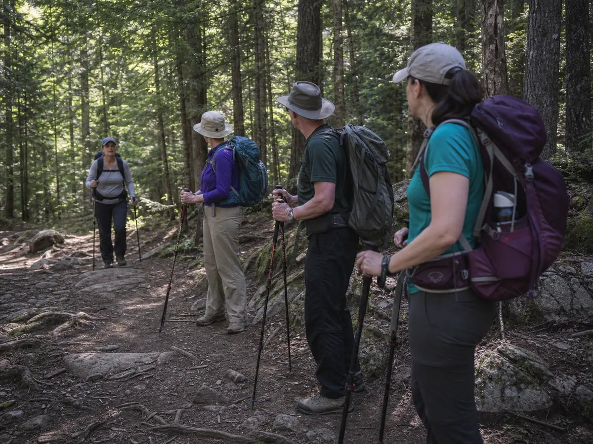
The fastest person creates the largest gap when they continue through a fork. Waiting on the far side can still leave the last person choosing between branches alone.
Place the pause before the decision and keep the full group visible. In thick fog, darkness, dense brush, or noisy water, shorten the spacing until losing contact would be noticed within a few steps.
Children, dogs, and tired hikers need an explicit rule rather than an assumption.
Nobody passes the lead or falls behind the sweep. Both stop at every junction.
Each subgroup needs its own route information, navigation tools, turnaround time, and meeting rule.
"We will catch up" does not identify where anyone should wait if pace or route changes.
If separation occurs, the first question is where the missing person was last confirmed. That is why group checkpoints need names and times rather than "somewhere back there."
Turn around while the uncertainty is still reversible
Momentum is not evidence. A path can look purposeful, contain recent footprints, and continue in the wrong direction for miles.
Use three questions before continuing:
- Can you name the last confirmed point and the route back to it? - Do at least two independent clues support the current position? - Will daylight, weather, group condition, or terrain make reversal harder soon?
If the first answer is clear and the second is no, reverse while the route is short.
Uncertainty changes the task. If the first answer is no, stop moving casually and shift to the response plan for realizing you are lost.
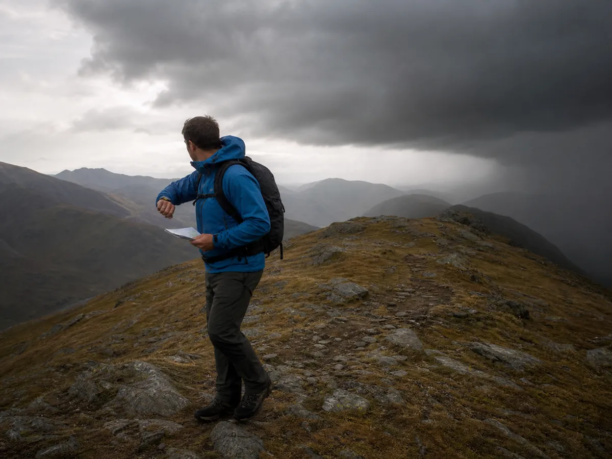
Do not cut across terrain because the mapped line looks close.
The screen or paper cannot show every cliff, wet channel, fence, unstable slope, or dense barrier between two points.
Turning around is easier before pride has been invested in the wrong branch. Make the rule during planning so the field decision feels like following the plan rather than admitting failure.
Weather can shorten the reversal window without moving the route. Snow covers tread, fog removes distant landforms, and darkness turns small junction details into weak clues, so uncertainty that is manageable now may not remain manageable later.
How can you practice staying found on an easy trail?
Choose a familiar marked loop with several forks and obvious terrain changes. Familiarity keeps the exercise safe while prediction and reverse recognition remain real.
- Preview three decision pointsName the feature and intended branch before starting
- Predict each point before it appearsUse distance, direction, and terrain rather than waiting for the sign
- Look back after every turnNotice how the junction changes from the return direction
- Retrace the loop from memoryCheck the map after each prediction rather than before it
- Describe the last confirmed point aloudPractice the information a partner would need
Run one section with the phone screen off but available. The aim is to strengthen route awareness, not to manufacture a risky no-device challenge.
Prefer cues that will still exist on the return. A bright flower or parked vehicle may disappear, while a drainage, bridge, road, or major boulder remains a stronger reference.
Repeat the drill in rain, leaf-off season, or low light only after the route is familiar in easy conditions. A skill grows when the environment changes one variable at a time.
The successful outcome is simple. You notice uncertainty at the first missed prediction, and the last place you were sure is still close enough to reach.
Sources
National Park Service hiking guidance recommends route research, a trip plan, navigation tools, and awareness of changing conditions in its Trip Planning Guide.
The U.S. Forest Service covers preparation, group travel, and lost-person prevention in Know Before You Go.
The distinction between maintaining positional awareness and responding after the chain has broken is developed in SROM's Staying Found field lesson and the University of California Santa Cruz field-safety resource Avoiding Getting Lost or Staying Found.
Step by stepPractical steps
- Name your last certain point
- Look back at every junction from the return direction
- Predict the next terrain feature before moving
- Use handrails and catching features to bound the route
- Regroup before junctions or visibility changes
- Stop when the next expected feature does not appear
- Return to the last certain point before choosing again
AnswersQuestions readers ask
Why should you look backward at a trail junction?
The return view can hide the branch, sign, or landmark that was obvious on approach. Looking back stores the view you will actually need on the way home.
What should you do when an expected trail feature is overdue?
Stop and compare direction, distance, terrain, and the last confirmed point. Return on known safe ground while that correction remains short.
How can a hiking group prevent separation?
Regroup before junctions, use a lead and sweep, shorten spacing in poor visibility, and make sure every subgroup has route information and a meeting rule.
When does route uncertainty become a lost-person problem?
It crosses that boundary when you can no longer identify and safely return to the last confirmed point. Stop casual movement and use the trip response plan.