
Where Should You Hike in the Alaska Range First?
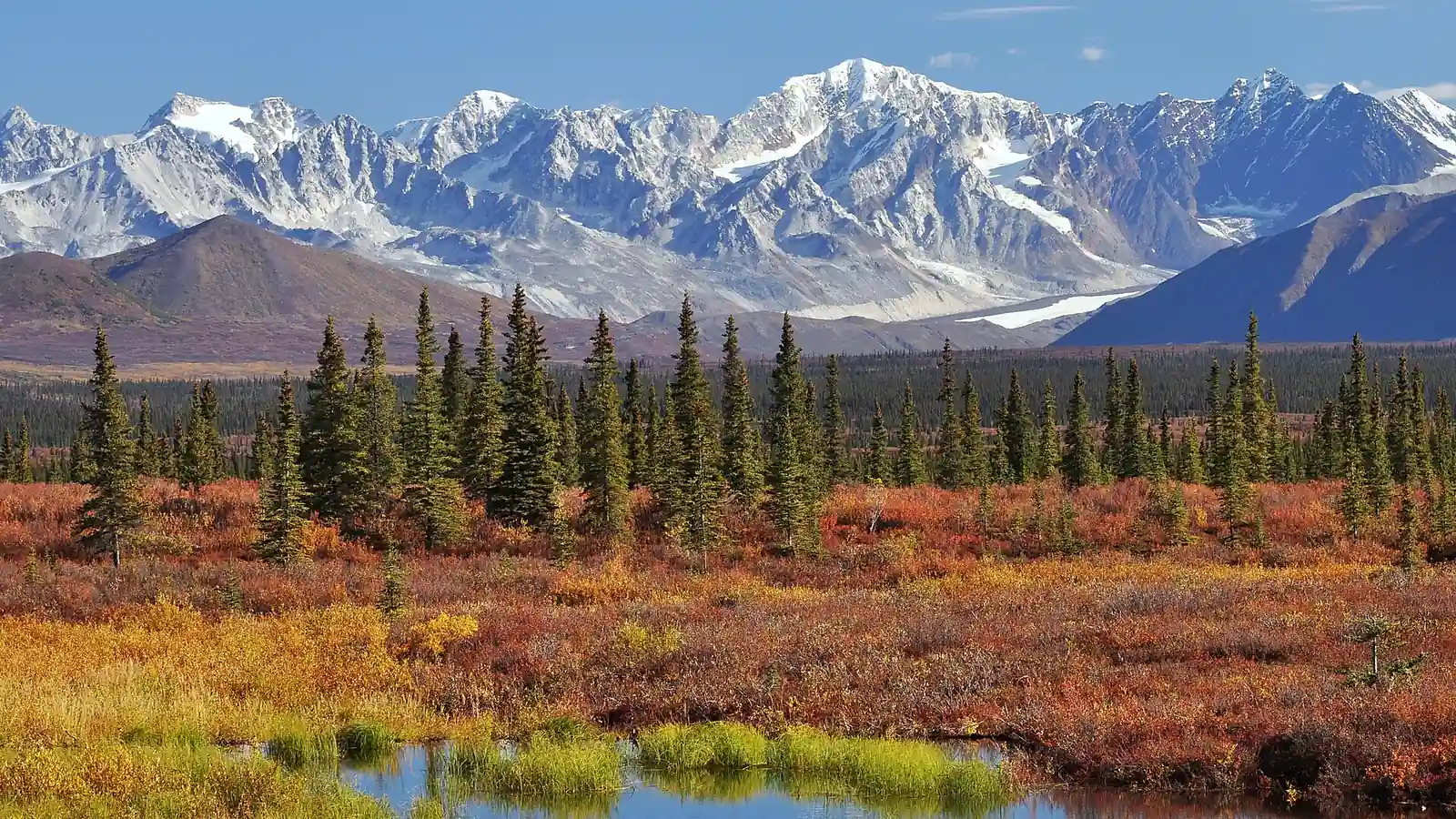
Choose an Alaska Range gateway by access system, trail availability, permits, river travel, season, wildlife, altitude, and rescue margin.
Weather
Valley warmth can coexist with pass snow, cold rain, high runoff, wind, smoke, and freezing nights across the range's short hiking season.
Plan the practical details
- Access
- The range is reached through separate systems. In summer 2026, Denali National Park buses turn around at Mile 43, while Denali State Park, the Parks Highway, the Denali Highway, and remote gateways use separate access rules.
- Permits
- There is no range-wide permit. Denali overnights, mountaineering, state-park camping, transport, and remote commercial access use separate rules.
The Alaska Range is not one hiking district with a shared trail map.
It is a long mountain system crossed by separate parks, highways, rivers, glaciers, and land managers, so the useful first decision is which gateway gives you the kind of travel you can safely complete.
For most hikers, that means choosing between developed trails with views of the range, trail-light tundra near the Denali Park Road, or a remote route that depends on a bus, air taxi, river crossing, and backcountry permit. Choose access first.
- 600 miles
- Approximate length of the Alaska Range across southcentral Alaska
- Parks Highway
- Road access to Denali State Park and the north side of the central range
- Denali Park Road
- Bus-supported access to trail-light terrain inside Denali National Park
- Denali Highway
- Seasonal gravel corridor with broad views and scattered public-land access
- No single permit
- Rules come from the park, preserve, state land, or federal unit you enter
- Off-trail travel
- Common in the central range and much slower than maintained-trail mileage
The name can also hide a large skill jump. A ridge walk in Denali State Park and an overnight route across glaciated terrain may share the same skyline, but they do not share the same navigation, rescue, or equipment requirements.
Where can you hike in the Alaska Range?
The easiest answer is often to hike opposite the range rather than deep inside it.
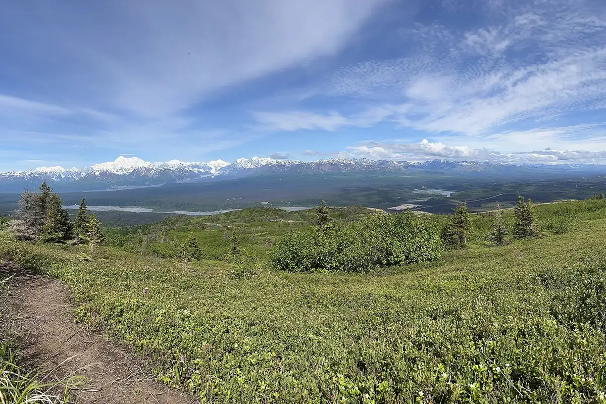
Denali State Park lies east of the highest central peaks, and its K'esugi Ridge system provides maintained access, camps, and long views across the Chulitna and Susitna lowlands.
Inside Denali National Park, short entrance-area trails feel conventional, but much of the backcountry has no maintained route or designated campsite. The road is the access spine, while hikers choose their own line through tundra, river bars, brush, and passes.
The Denali Highway crosses the broad country south of the central range. It offers road-accessible views and some trailheads, but its gravel surface, long service gaps, and variable weather make it a different trip from a paved-highway day hike.
Farther east, Wrangell-St. Elias reaches the eastern Alaska Range and adjacent mountain systems. Roads are few, distances are large, and many serious routes begin with local transport or aircraft rather than a signed parking lot.
These gateways also differ in how quickly a mistake becomes a transport problem. Missing a turn on a state-park loop may cost time, while reaching the wrong river bank after a bus drop can leave the group separated from the only practical road pickup.
Ask what the group must do without outside help for six hours, one night, and two nights. That answer often removes a remote gateway before scenery or mileage enters the comparison.
Denali State Park
Maintained ridge and lake trails with road access and strong views toward the central range.
Denali entrance area
Short marked trails near services, useful for a first day or limited weather window.
Denali road backcountry
Trail-light tundra and river travel reached through the park transport system.
Denali Highway corridor
Scattered trailheads, open tundra, rough-road logistics, and limited nearby services.
Remote glacier gateways
Aircraft-supported mountaineering terrain where hiking equipment alone is not sufficient.
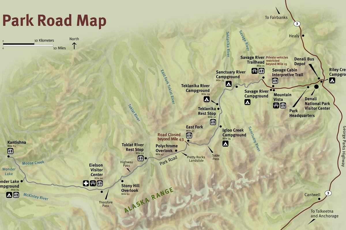
Choose one corridor and one land manager before comparing route names. That choice determines which alerts, maps, permits, food-storage rules, transport schedules, and emergency contacts actually apply.
Are there marked trails in the Alaska Range?
Marked trails exist around developed gateways, but the range should not be described as a trail network. Denali State Park has named routes such as K'esugi Ridge and Byers Lake, while Denali National Park concentrates most maintained trails near its entrance and visitor facilities.
Beyond those developed areas, an itinerary may be a route across terrain rather than a line on the ground.
River bars can provide efficient travel, low brush can reduce speed to a crawl, and a clear tundra slope may end at a channel that was not obvious on a small map.
Off-trail distance must be budgeted by surface and visibility. One mile through open gravel can be straightforward, while one mile through wet tussocks, willow, or steep loose ground can consume much more time and energy.
| Travel surface | What it changes | Planning response |
|---|---|---|
| Maintained trail | Predictable line but not predictable weather | Use posted distance and elevation, then add a weather margin |
| Open tundra | Easy route choice with uneven footing | Reduce expected pace and protect ankles from repeated side steps |
| River bar | Efficient walking until channels force crossings | Keep an exit bank and water-level threshold in view |
| Willow or alder | Hidden footing and very slow progress | Shorten the day and avoid a schedule tied to normal trail speed |
| Glacier | Crevasses and rope-travel hazards | Treat it as mountaineering, not hiking |
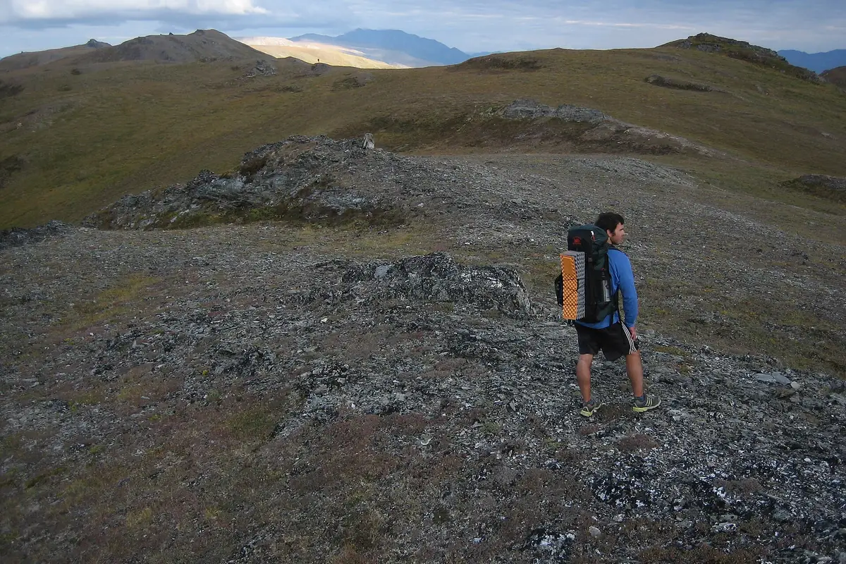
A GPS track does not turn a remote line into a maintained trail. It can show where another traveler went under different river, snow, and visibility conditions, so you still need a map-scale route model and the ability to retreat.
Build that model around handrails you can recognize from the ground, such as a major drainage, ridge, road, or broad valley. A string of precise coordinates is less useful when fog hides the next point and brush forces the group away from the recorded line.
Denali transport controls the hiking day
Denali National Park does not work like a park where every trailhead has a personal-vehicle lot. The park road, current bus operation, wildlife closures, and the condition of the road determine where a hiking day can begin and where it can end.
For summer 2026, the Pretty Rocks landslide keeps Denali Park Road closed beyond Mile 43.
Transit and tour buses turn around near the East Fork River, so road-based routes, camps, and pickup plans west of that boundary remain unavailable.
Trail-light hiking can start from a bus stop, but the return depends on the current transport rules and available service. You need to know whether you can flag a bus, whether space is limited, what happens after the last practical pickup, and whether you can return on foot.
A Denali road day
- Before bookingCheck the current park-road operating boundary and bus optionsThe route begins inside the area that is actually reachable
- Before boardingConfirm the intended drop point and a simpler alternateOne closure does not erase the entire day
- At the dropRecord the road landmark and return sideThe group can identify the correct pickup corridor
- During the hikeKeep a time reserve for brush, crossings, and wildlife detoursThe return is not based on trail pace
- At turnaroundLeave enough daylight and warmth for a delayed pickupWaiting does not become an exposure emergency
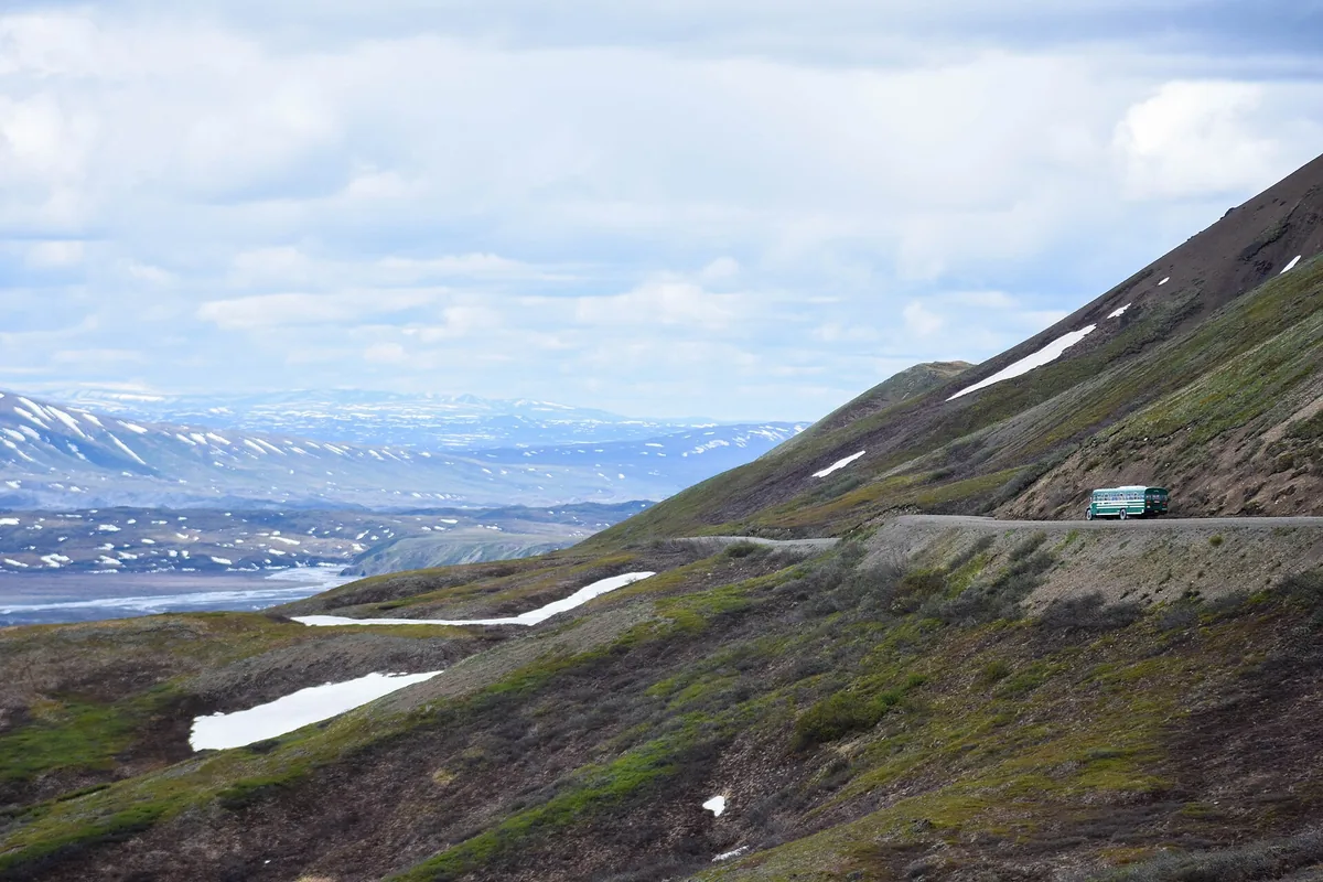
If you prefer a fixed trailhead and a predictable return to your car, choose a developed state-park or entrance-area trail. A first visit does not need to prove self-reliance in the most complex access system available.
Do you need a permit to hike in the Alaska Range?
There is no range-wide hiking permit.
A day hike on a state-park trail, an overnight trip in Denali, and a flight-supported climbing expedition each fall under different rules.
Denali requires a free backcountry permit for most overnight backpacking.
In the summer system described by the National Park Service, the whole group attends an orientation, the permit assigns camping units, and an approved bear-resistant food container is required during the published season.
Day hiking in Denali generally does not use that overnight permit, but entrance fees, transport tickets, closures, and temporary wildlife restrictions still matter. Mountaineering on Denali or Mount Foraker uses a separate registration and fee system with a long lead time.
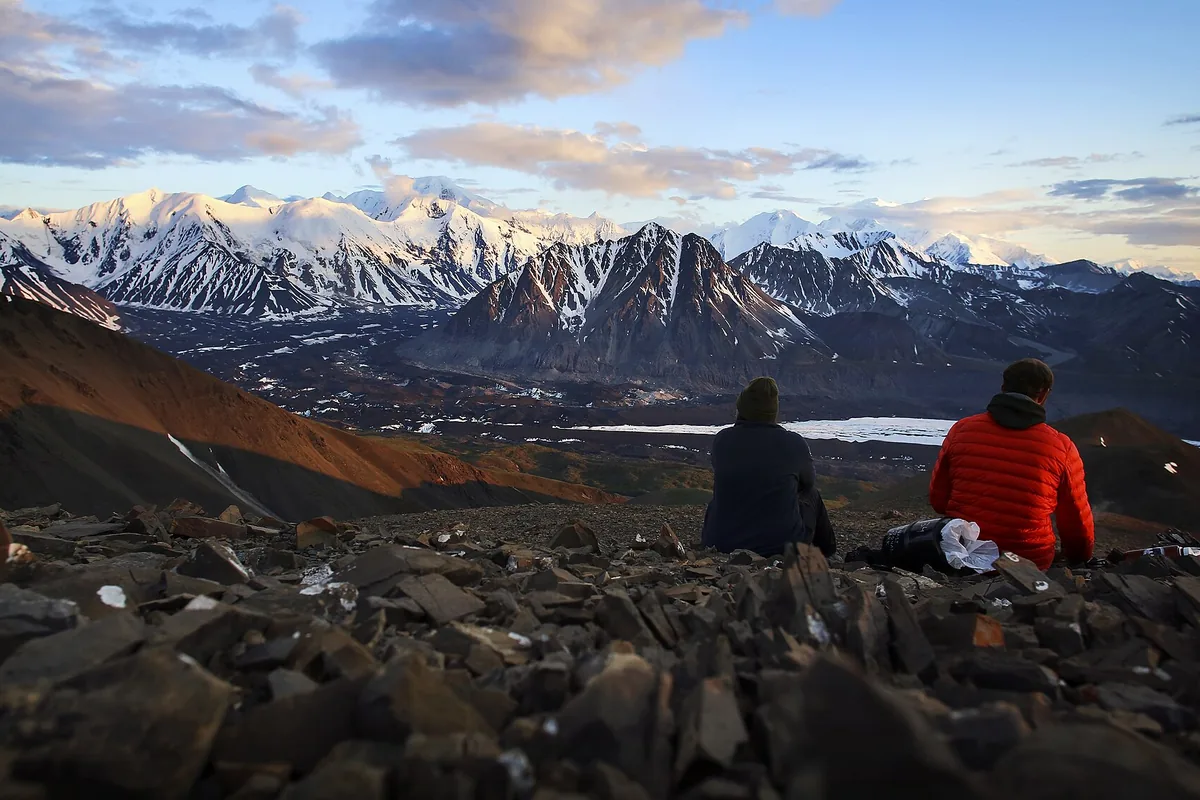
State-park campsites, public-use cabins, developed campgrounds, and commercial air services have their own reservations. Check each booking separately instead of treating one confirmation as permission for the whole itinerary.
Keep the confirmations in one offline trip file, but label what each document controls. A bus ticket proves transport, a campground booking proves a site, and a backcountry permit controls an overnight area, so none of them substitutes for the others.
When is the best time to hike the Alaska Range?
For nontechnical hiking, the main window usually falls between late June and early September, but elevation and latitude prevent one date from describing the whole range.
Snow can remain on passes after low trails have dried, and fresh snow can return before autumn ends in the valleys.
June offers long daylight but can bring wet ground, high runoff, lingering snow, and strong mosquito pressure. July usually provides the broadest access, while August often brings cooler nights, changing vegetation, berries, and continued rain risk.
By September, short days and freezing nights reduce the margin for a delayed crossing or pickup. Some services scale back before the mountains become visibly wintry, so transport dates can close the practical season before snow closes every trail.
The short hiking season
- BreakupRoads, rivers, and saturated ground change faster than published trail descriptions.
- Early summerLong daylight arrives before every pass, campground, and route is dry.
- Mid-summerAccess is widest, insects are active, and afternoon weather still changes quickly.
- Late summerCooler nights and lower light sharpen the cost of an overdue return.
- Early winterSnow and service closures move ordinary hiking into winter travel.
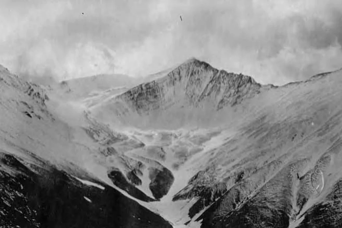
Ask the managing office about the exact corridor, not simply whether summer has arrived. Current river levels, road work, smoke, snow, and bus operation have more value than a general seasonal label.
Insect pressure changes the practical plan too. A calm evening near wet tundra can make cooking and route discussion difficult, so carry head protection and choose a camp where the group can perform essential tasks without rushing into the tent.
River crossings can end the route
Water is often the route-defining hazard in the Alaska Range.
Glacial rivers can be cold, opaque, braided, and responsive to heat or rain, while small map symbols may represent channels that are difficult to cross safely.
Crossing conditions can worsen during the day as meltwater moves downstream. A channel that looks manageable in the morning can be deeper and faster on the return, so an out-and-back plan must protect the return crossing rather than judge only the first.
- Identify every major drainage on a topographic map before leaving the road
- Ask rangers or local managers which channels currently control access
- Approach from a wide gravel bar where several smaller channels may exist
- Unbuckle the pack hip belt and protect insulation and communication equipment
- Turn around when depth, speed, footing, temperature, or downstream hazards exceed the group
- Recheck the return crossing before moving farther from the safe bank
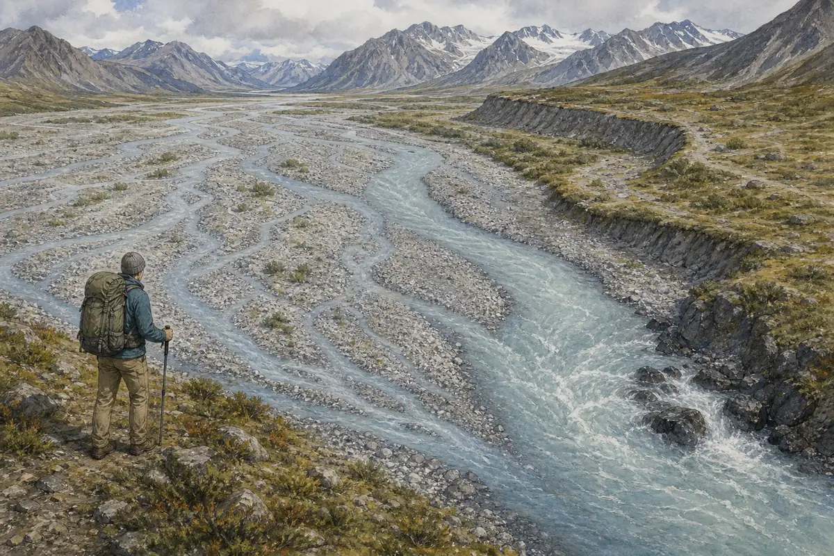
Wet tundra adds a quieter cost. Tussocks twist ankles, conceal holes, and slow the group, so footwear, dry socks, and realistic time estimates matter even when no single obstacle looks dramatic.
If the planned line crosses the same glacial system twice, write a route that can stop on either side. A bridge, high bench, or legal camp before the channel gives the group an option when afternoon melt or rain removes the return crossing.
Wildlife space matters more than mileage
The range crosses bear, moose, and other wildlife habitat.
Rules vary, but the reliable practice is to keep food and scented items controlled, make your presence known where visibility is poor, and give animals a clear way to leave.
Bear spray should be accessible on the body rather than buried in a pack. Every person should know how the safety clip works and when not to run, while the group avoids surprising an animal at a noisy stream or in dense willow.
Moose deserve the same planning attention near brush and wetlands. A cow with calves or an animal blocking the route can require a long detour, and the itinerary needs enough time to wait instead of pressing closer.
- Carry bear spray where it can be reached immediately
- Use the food-storage method required by the land manager
- Cook and store scented items away from the sleeping area
- Make noise before entering dense brush or a blind river bend
- Back away and change the route when an animal controls the corridor
- Report current closures or unusual behavior to the managing office
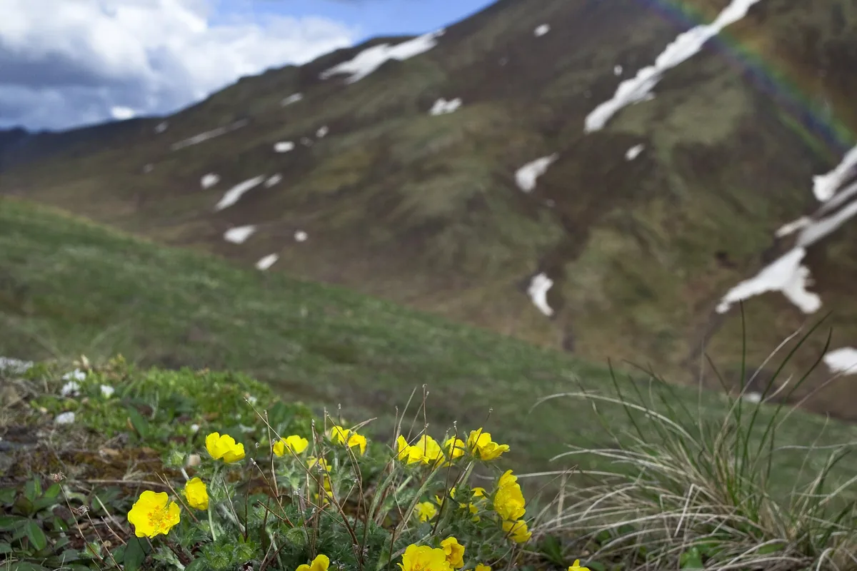
Do not use another hiker's proximity as evidence that an animal is comfortable. Space is the safety tool you control, and leaving the route is sometimes the correct response.
Can a first-time visitor hike independently?
Yes, if the route matches the visitor's actual skills and access tolerance.
A marked state-park trail or maintained entrance-area route can provide a strong first day without a guide, while off-trail backpacking demands independent navigation, river judgment, wildlife practice, and an overdue plan.
A guide becomes useful when aircraft logistics, glacier travel, technical climbing, unfamiliar river systems, or a lack of remote-country experience creates a gap the group cannot close with preparation. Hiring transport alone does not provide field leadership after the aircraft leaves.
A useful independence test is whether everyone can name the route boundary, crossing limit, wildlife response, and overdue action without consulting the strongest member. If one person owns every critical decision, the group is less independent than the itinerary suggests.
Leave an exact route, transport provider, vehicle location, equipment description, party list, and overdue threshold with a reliable contact.
In remote Alaska, rescue may depend on weather and aircraft availability, so the emergency plan must keep the group sheltered and stable while help is delayed.
Carry enough insulation and food to remain functional beyond the planned pickup, even on a day reached by bus or aircraft. The emergency reserve is sized for a delayed exit, not for the distance shown on the route.
Does altitude matter for ordinary Alaska Range hiking?
It can matter well below technical climbing terrain, especially when a route gains elevation quickly from a road or aircraft landing. A first day of hiking at altitude should stay below the hardest objective so pace, breathing, and recovery can be judged before the group commits to a pass.
Headache, nausea, unusual fatigue, dizziness, and poor coordination should not be dismissed as the normal price of a view.
Build the first day below the hardest objective and increase sleeping elevation gradually where the itinerary allows.
Descent is the reliable response when symptoms worsen, and confusion, inability to walk normally, or breathing trouble at rest requires urgent evacuation.
Cold and wind can resemble or worsen altitude problems when dehydration is also present. Keep the person with the group, reduce exertion, and judge improvement after moving lower rather than asking them to push over the next pass.
Sources
Gateway, trail, and facility information came from Alaska State Parks material for Denali State Park and the K'esugi Ridge trail system. Denali hiking, the summer 2026 Mile 43 road boundary, bus-supported access, permits, backcountry units, bear-resistant food containers, and trail-light travel came from current National Park Service conditions, maps, day-hiking, and backpacking pages.
Denali Highway season and road-surface details came from Alaska DOT, while Wrangell-St. Elias route context came from the National Park Service. All current access, transport, closure, and permit details should be checked with the named manager before departure.
RespectHazards to plan for
- cold rivers
- off-trail navigation
- bears and moose
- altitude
- weather exposure
- delayed rescue