
Grand Teton National Park Hiking by Trailhead
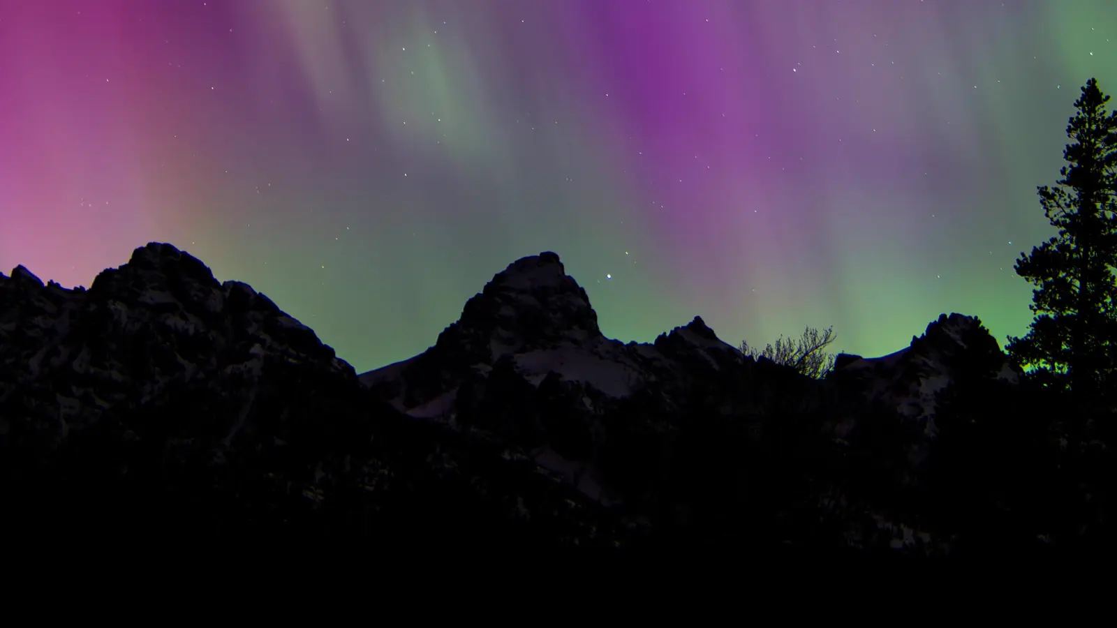
Plan Grand Teton by trailhead corridor, then fit Jenny Lake boat access, 2026 construction, bears, weather, seasons, and permits around it.
Weather
Valley and alpine conditions diverge. Snow can linger into summer, afternoon storms affect exposed terrain, and winter closes several roads to vehicles.
Plan the practical details
- Access
- A long north-south road system serves distinct trailheads. 2026 construction closes Death Canyon access and changes Taggart and Moose-Wilson travel.
- Permits
- Normal day hiking needs no camping permit. Every backcountry overnight requires a permit, and boating uses separate rules and permissions.
Grand Teton hiking is organized by trailhead corridors along a long valley. Jenny Lake, Lupine Meadows, Taggart, Colter Bay, and Teton Village lead to different terrain, and changing between them can consume the weather window you meant to use on foot.
Choose one corridor first. Then fit your boat plan, 2026 construction, bear practice, lingering snow, thunder, and overnight permission around that starting point.
The trailhead is part of the route. A closed access road can remove a hike before distance or fitness matters.
Jenny Lake
Popular lake, boat, waterfall, and Cascade Canyon access with parking pressure.
Lupine Meadows
Direct approach toward Amphitheater Lake, Garnet Canyon, and high mountain terrain.
Taggart and Bradley Lakes
Valley-to-lake routes with 2026 trail reconstruction affecting one approach.
Colter Bay
Easier lakeshore and forest routes with broader parking and north-park services.
Teton Village
Southern access into Granite Canyon and the backcountry from outside the central park road.
The mountain wall looks close from the road, but trail distance rises quickly once a route enters a canyon or climbs toward an alpine lake. Keep the same-area backup lower, shorter, and open under the same construction map.
Which Grand Teton trailhead corridor fits your day?
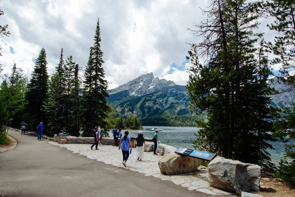
Jenny Lake concentrates several famous objectives in one small area. Hidden Falls, Inspiration Point, Cascade Canyon, and longer alpine routes share parking, lakeshore approaches, and the optional shuttle boat.
Colter Bay creates a different day with flatter lakeshore and forest walks around Jackson Lake. It is a useful alternative for a group that wants Teton views without committing to a steep canyon climb.
| Corridor | Typical day | What can remove it |
|---|---|---|
| Jenny Lake | Boat-supported waterfall, viewpoint, and canyon hikes | Full parking, boat schedule, bears, or storms |
| Lupine Meadows | Steeper alpine lake and climbing approaches | Snow, exposure, and sustained elevation gain |
| Taggart | Shorter lake routes with broad Teton views | 2026 reconstruction and partial trail closure |
| Colter Bay | Lakeshore, forest, and gentler family options | Seasonal facilities and north-park driving time |
| Teton Village | Southern backcountry access | Lift or trail operations, weather, and return logistics |
Jenny Lake parking often fills in summer. The park recommends arriving before 9 am or after 3 pm, with Colter Bay as one practical north-park alternative when the area is saturated.
Do not turn a full Jenny Lake lot into a shoulder-parking plan. Move to the named alternative and preserve the day instead of blocking traffic or extending the walk along an unsafe road edge.
Lupine Meadows and Taggart can look adjacent on a regional map, but the intended route may climb into entirely different terrain. Keep the backup similar in energy demand only after confirming it removes the access or weather problem.
Colter Bay is more than overflow parking. Its lakeshore and forest network can provide a complete lower-commitment day with services nearby, which is better than treating it as a waiting room for Jenny Lake.
Can the Jenny Lake boat shorten your hike?
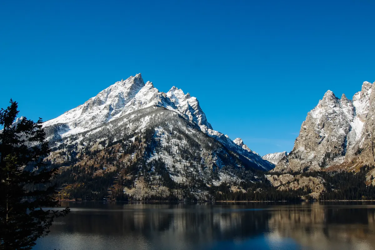
The Jenny Lake shuttle boat crosses to the west dock for a fee. It reduces Hidden Falls from about five miles round trip to about one mile, and Inspiration Point from about six miles to about two miles.
Those savings can make a waterfall day fit a mixed group. They do not make Cascade Canyon, Lake Solitude, or an exposed alpine route shorter in the same proportion.
- Hidden Falls from visitor center
- About 5 miles round trip
- Hidden Falls from west boat dock
- About 1 mile round trip
- Inspiration Point from visitor center
- About 6 miles round trip
- Inspiration Point from west boat dock
- About 2 miles round trip
- Boat service
- Paid and seasonal, with operating details set by the concessioner
Decide whether the return also uses the boat. A last-boat assumption can leave a group with the full lakeshore walk after the mountain portion has already used its energy.
Wind and thunderstorms can interrupt boat operation. Carry the map and enough daylight for the walking return whenever the route depends on reaching the opposite shore.
The boat is most valuable when it changes the day's actual constraint. For a child or an adult with limited climbing capacity, removing the shore miles can reserve energy for the viewpoint ascent.
Buy time as carefully as distance. Boarding queues, loading, and the walk between parking and the dock belong inside the schedule, especially when afternoon storms threaten the western mountains.
If the boat stops running, do not wait until dusk to discover the shore route. Mark both north and south walking returns on the map before leaving the east dock.
Which 2026 closures change Grand Teton trail access?
Grand Teton has major construction in 2026. Death Canyon Road and trailhead are closed, the north side of Taggart Trail is closed for reconstruction, and some park roads have substantial delays.
You should treat those conditions as route filters before reserving a boat, permit, or early departure. An old guidebook can describe a trail accurately while sending you to an access point that no longer works.
Moose-Wilson Road can involve delays of 45 minutes or more and temporary closures during the construction period. A Teton Village or Granite Canyon plan needs that time inside the schedule.
Use the park conditions page again on the morning of your hike because project timelines can change. Your same-corridor backup should use a confirmed open start and similar group ability without copying the failed road approach.
Construction delays also affect the drive home after a long hike. Add the expected delay to the return, not only the arrival, and carry enough food and fuel for the vehicle to wait safely.
A pilot-car queue is controlled road travel rather than a place to stop for wildlife or photographs. Follow worker directions and keep the route clear.
Where should you carry bear spray in Grand Teton?
Black and grizzly bears live throughout Grand Teton, including developed areas around Jenny and String lakes. Busy trails do not remove the chance of meeting a bear at a blind corner or in dense vegetation.
Make noise with your voice, hike in a close group, and keep children near adults. Be especially alert near streams, in wind, around berry patches, and wherever sight distance is short.
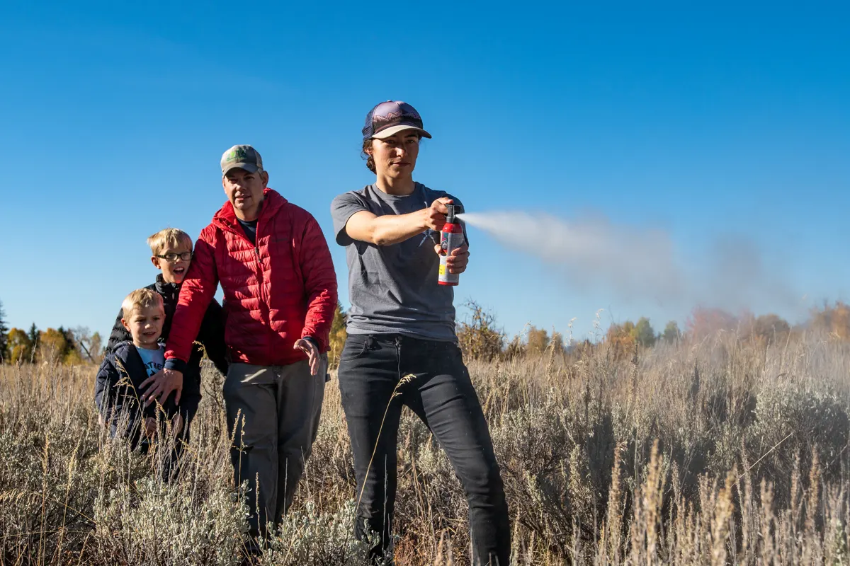
- Carry EPA-approved bear spray on a belt or chest strap
- Practice removing the safety clip with an inert canister
- Stay at least 100 yards from bears and wolves
- Back away and give any animal using the trail room to pass
- Keep food and packs under direct control during day hikes
- Review bear encounter actions before travel
Do not throw food or a pack to distract a bear. Human food can change animal behavior and removes supplies the group may need to leave safely.
If vegetation or moving water makes the group hard to hear, increase the frequency of voice calls. Bear bells do not carry enough sound to replace active noise.
Moose require distance too and can charge when crowded or surprised. Stay at least 25 yards from other large wildlife and increase that space when behavior changes.
Never approach an animal for a photograph. A long lens preserves both the hiking route and the animal's room to leave.
When should snow or thunder move you lower?
High routes can retain snow well into summer, while valley trails may be dry. The mountain forecast also changes quickly, with colder temperatures, wind, and afternoon thunderstorms arriving above the lakes.
A dry Jenny Lake shoreline does not confirm a dry pass. Verify the highest and most shaded part of the intended route, not only the trailhead webcam.
- Valley floorEarliest dry trail accessLower routes can work while passes remain snowbound
- High canyonLonger snow and cold retentionCheck shaded traverses and creek crossings
- Above treelineGreater wind and lightning exposureTurn around before thunder reaches the ridge
- Late afternoonCommon storm and fatigue overlapPut sustained climbing earlier in the day
An early start protects both the climbing window and the boat or parking plan. It cannot justify continuing above treeline when thunder is audible.
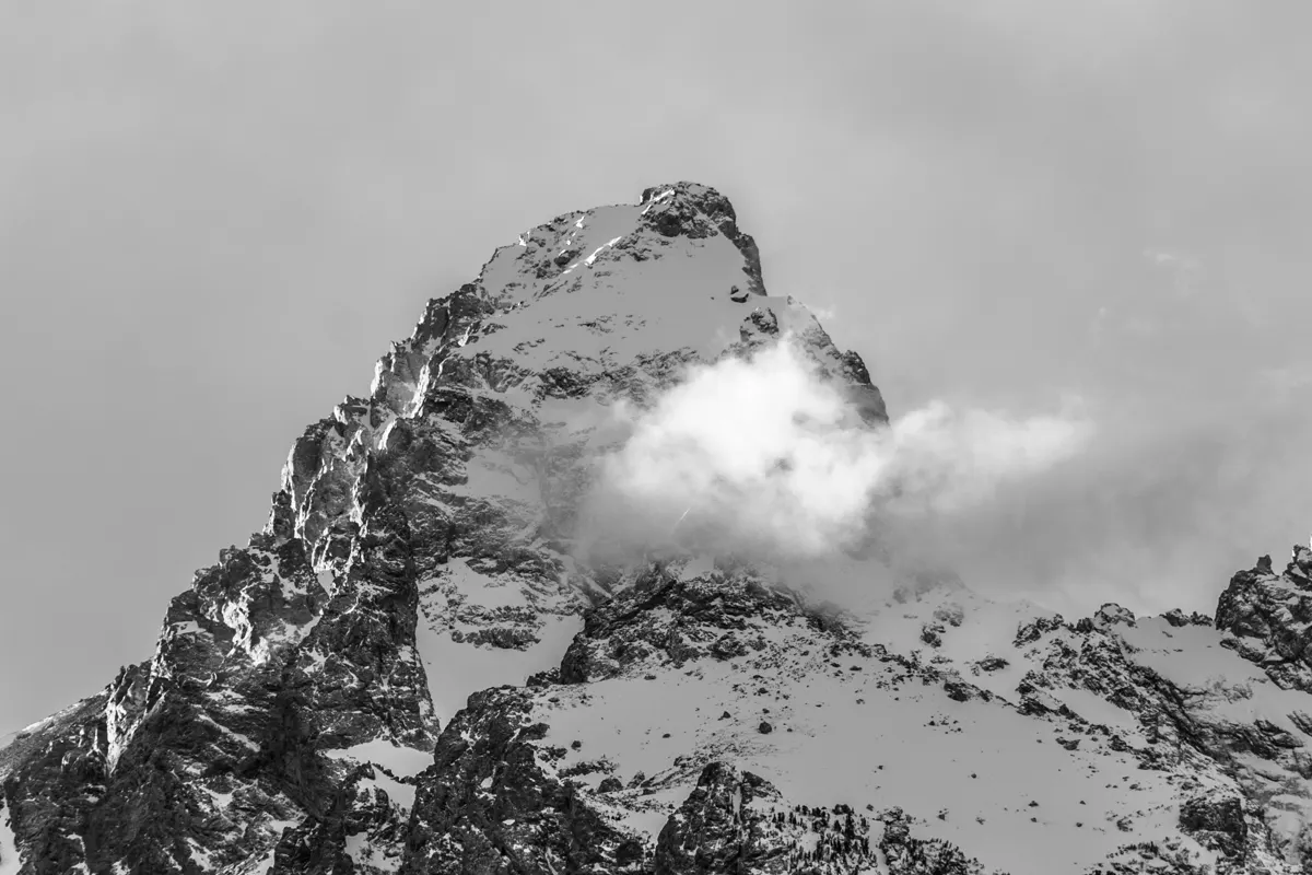
Choose a lake or forest fallback when snow, wind, or storms remove the alpine route. Hiking in rain still requires careful footing on roots, rock, and boardwalk.
When is the best time to hike Grand Teton?
May through September is the most popular period because roads and facilities offer their broadest operation. Route access within that window still depends on snow level, creek crossings, construction, wildfire smoke, and thunderstorms.
Spring favors valley lakes and lower forest while alpine routes remain snowbound. Early fall can bring cool clear hiking with shorter daylight and facilities closing on different dates.
| Season | Useful terrain | Main tradeoff | Better plan |
|---|---|---|---|
| Spring | Valley lakes, pathways, and lower forest | Snow, mud, cold water, and partial road access | Keep the first route low and verify every trailhead |
| Summer | Broadest canyon and high-route access | Crowds, thunderstorms, construction, and bears | Start early with a same-corridor alternative |
| Fall | Cool hiking and changing vegetation | Short daylight, cold nights, and tapering services | Protect the return window and carry warm layers |
| Winter | Groomed road travel, snowshoeing, and skiing | Closed vehicle roads and avalanche terrain | Use winter-specific routes and current avalanche information |
Teton Park Road closes to private vehicles between Taggart Lake Trailhead and Signal Mountain Lodge from November 1 through April 30. Winter recreation uses the road differently and does not preserve summer trailhead access.
Winter hiking gear supports cold travel, but avalanche terrain requires separate training and current hazard information.
Fall wildlife activity can also close trails or slow road traffic. Shorter daylight means that a wildlife delay near sunset can remove the final margin from a canyon route.
Spring snowmelt raises creek crossings and softens trails. A dry parking area cannot prove that a shaded bridge approach or high drainage is ready.
Do you need a permit for Grand Teton day hikes or backpacking?
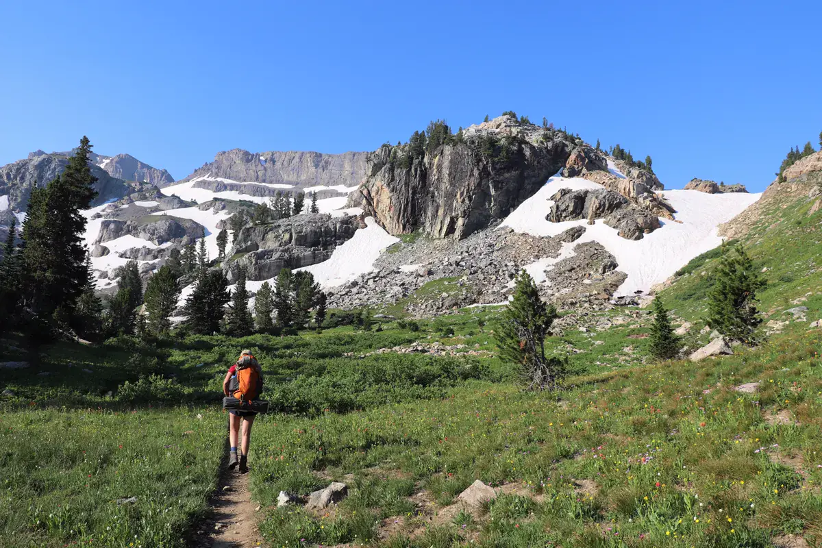
Ordinary day hikes do not require a backcountry camping permit. Every overnight stay in Grand Teton or the Rockefeller Parkway backcountry does, whether the campsite sits by a lake, inside a camping zone, or near a climbing route.
Advanced reservations cover about one third of permits. Roughly two thirds are held for walk-up issuance one day before the trip, subject to actual availability.
- Day hike
- No general backcountry camping permit
- Overnight stay
- Permit required for every backcountry campsite or zone
- Advance inventory
- About one third reservable ahead
- Walk-up inventory
- About two thirds held for in-person issuance
- Peak season
- May 1 through October 31 for the 2026 permit schedule
A permit authorizes the location and dates, but it does not reopen Death Canyon or the closed Taggart segment.
Build the itinerary from current access before competing for a campsite.
The difference between backpacking and hiking includes much more than sleeping outside. Grand Teton adds bear-resistant storage, campsite zones, snow, and a heavier exit from steep canyons.
Walk-up permits work best with several researched itineraries, not one desired campsite.
Each alternative needs its own daily mileage, elevation, water, food-storage, and construction check before the permit desk opens.
Do not accept a route that the group has not mapped simply because a site is scarce. A night in the wrong canyon can create a larger access problem than having no permit.
Where should you camp for an early Grand Teton hike?
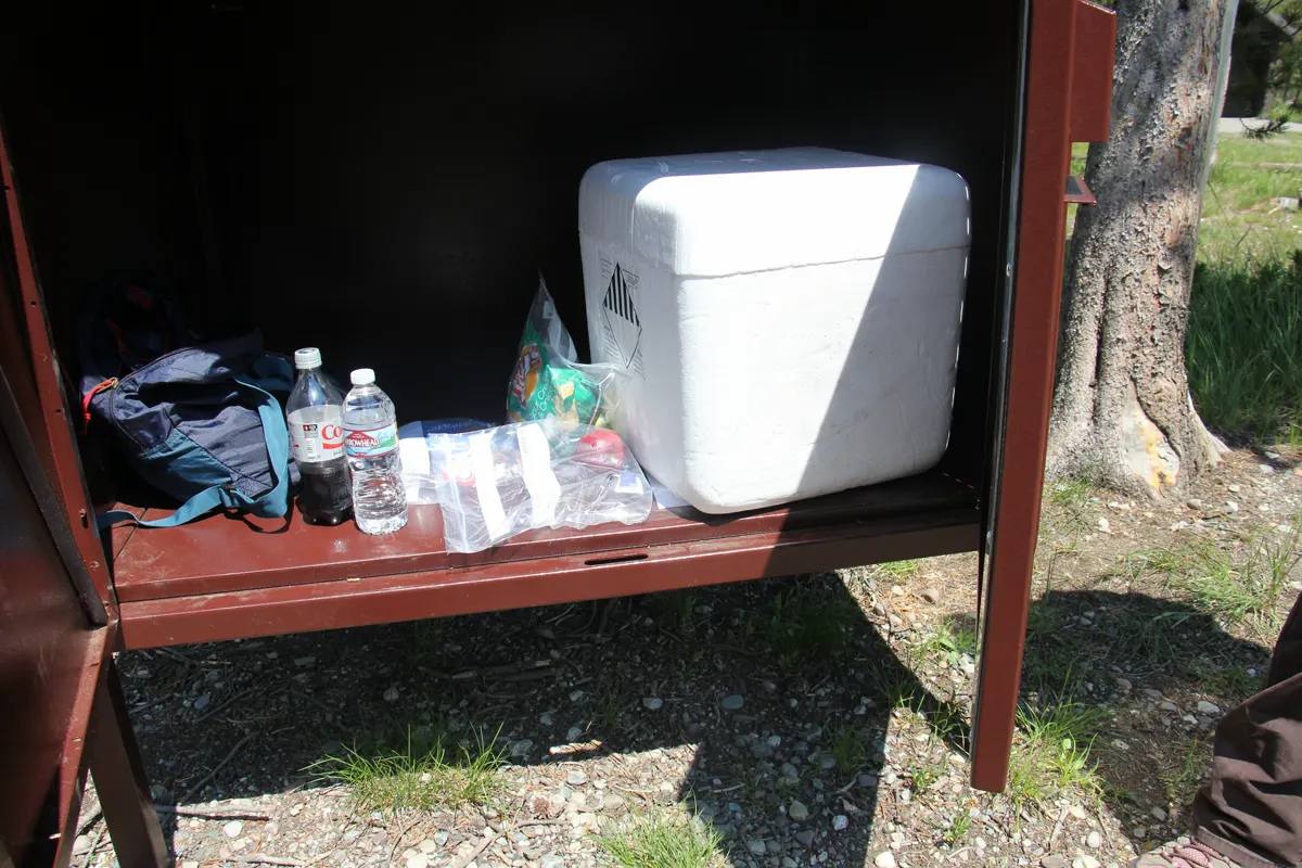
Backcountry campers must store food and scented items in an approved bear-resistant container where required. Cooking, storage, and sleeping areas should follow the park's campsite layout and instructions.
Do not leave a pack, food bag, cookware, or toiletries unattended while setting up camp. Bears can learn from one successful food reward and return to the area.
Build a permit-ready overnight
- Before bookingCheck construction, snow, and the trailhead that serves the itineraryThe requested camps remain physically connected
- Reservation or walk-upAccept only a sequence the group can hike with overnight weightPermit availability does not set fitness
- At pickupReview bear, fire, water, and current closure instructionsThe itinerary reflects the latest park conditions
- At campSeparate food handling from sleep and secure every scented itemThe site remains unattractive to bears
Carry more than one legal campsite sequence when seeking a walk-up permit. A ranger may find space on a different route, and the group should already know whether that change fits its ability.
The strongest overnight plan also has a day-hike fallback. If weather, snow, or permit availability breaks the itinerary, use the same corridor for a shorter trip instead of forcing an unauthorized camp.
Carry the permit, map, and emergency contacts in a waterproof place independent of the phone. Batteries and screens are vulnerable to cold, rain, and impact, while the paper route remains readable.
At the trailhead, tell every person where the first campsite, water source, turnaround, and exit lie. Shared knowledge prevents one separated hiker from carrying the entire plan.
Your alternate itinerary must be ready before the permit desk offers it. Trace the access road, trail junctions, first-night distance, and final exit rather than deciding from an available campsite name.
One person should not carry the only map, permit copy, or bear spray.
If the group splits during an emergency, each side needs enough route information to stop safely and avoid creating a second search problem. Agree on the last place everyone will return to instead of assuming phones will reconnect the group.
You also need a clear threshold for abandoning the overnight plan. A closed trailhead, unsafe snow, lost food storage, or thunder over the first pass should move the group to its day-hike fallback before the permit creates pressure to continue.
At the final vehicle check, confirm that the exit trailhead is still reachable under the same construction schedule.
An overnight permit makes the campsite legal, but your preparation makes the route coherent. When access, weather, and bear practice all point to the same workable itinerary, the mountains become the experience rather than a series of avoidable corrections.
Sources
Jenny Lake distances and boat-supported route planning were checked against the National Park Service Jenny Lake plan. Construction, road, and trail status use the park's current conditions and hours and seasonal operations.
Wildlife decisions use the park's bear safety guidance. Overnight authorization and allocation details come from backcountry reservations.
RespectHazards to plan for
- bear encounters
- lightning
- snow travel
- falls
- cold exposure
- river and lake hazards
- road closures