
Acadia Mountain Trail: Best Loop Direction and Difficulty

Acadia Mountain is a 2.5-mile granite loop above Somes Sound. Current NPS guidance approaches by Man O War Brook and the fire road, climbs the western side, and descends the eastern side.
The Acadia Mountain loop climbs steep granite to a 681-foot summit above Somes Sound. The current National Park Service route uses Man O' War Brook and the fire road to reach the mountain's western side, climbs the western trail, then descends the eastern side back toward Route 102.
The National Park Service describes the complete loop as about 2.5 miles. Short mileage does not remove steep stone steps, scrambling, wet granite, or the busy Route 102 crossing at the trailhead.
Which direction should you hike the Acadia Mountain loop?
Approach
Cross Route 102, follow Man O' War Brook Trail, and use the fire road to reach the western Acadia Mountain Trail junction.
Climb
Ascend the western side toward the summit, where high stone steps and open granite still require hands and deliberate foot placement.
Descend
Continue down the eastern side toward Route 102, controlling the steeper steps rather than searching for an unsigned shortcut.
Change plans
Choose another Acadia trail when rain, ice, strong wind, or discomfort with scrambling removes controlled movement.
This direction follows the park's current Acadia Mountain-only loop description. It differs from older summaries that describe Man O' War Brook as a simple descent, and it also differs from longer combinations that add St. Sauveur Mountain.
A person with limited upward reach or uncertain downhill control should choose another route rather than reverse the loop casually. Both mountain sides contain steep granite, and reversing the sequence changes which moves must be climbed and descended.
Choose the direction around the hardest movement. Views and tradition are secondary to a route every person can reverse safely.
How hard are the granite ledges and stone stairs?
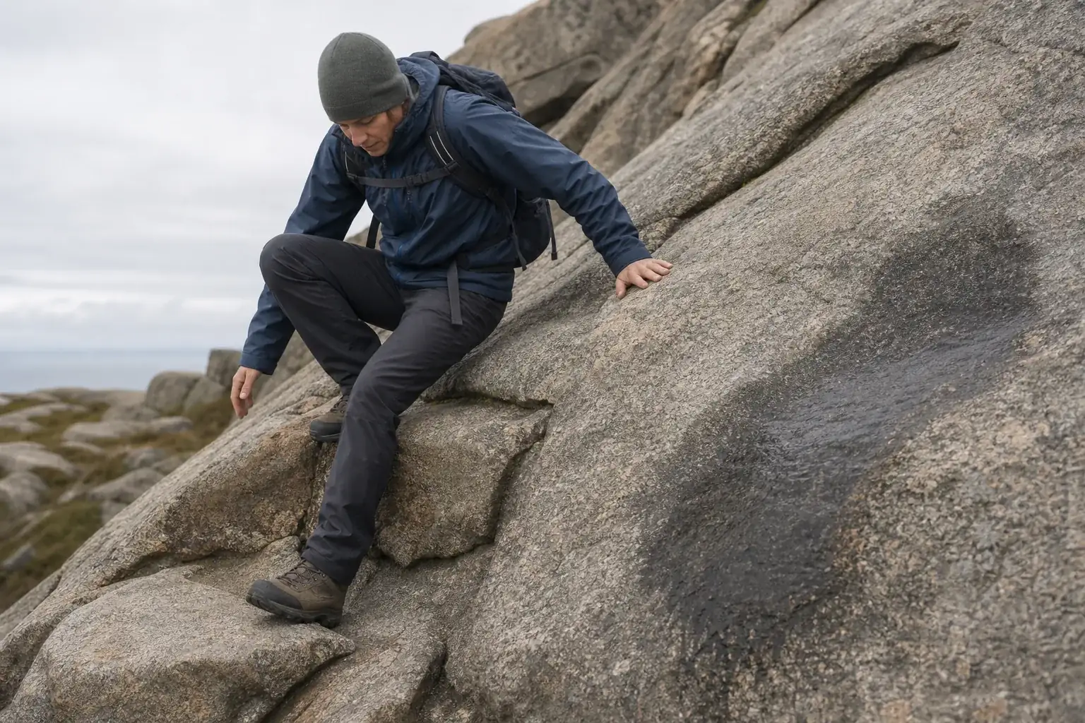
The eastern side rises through forest, stone steps, roots, and open granite. Several moves require high steps or hand support, though this is not a technical climbing route.
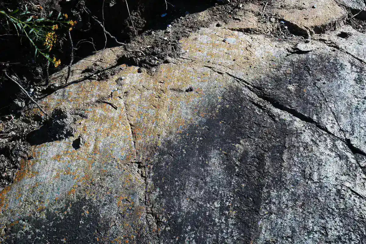
Granite friction changes sharply when wet, icy, or covered by damp leaves and needles. A surface that feels secure in dry sun may not hold the same downhill step after a shower.
- Loop distance
- About 2.5 miles
- Summit
- 681 feet
- Primary challenge
- Steep granite ledges, stone stairs, roots, and scrambling
- Gentler return
- Man O' War Brook Trail
- View
- Somes Sound and surrounding mountains
- Trailhead
- Route 102 with parking across the road
Keep both hands available on the steep side and secure poles before a scramble. If a dog or child cannot complete a move without being lifted beside a drop, the terrain has already exceeded the plan.
Where do the Somes Sound views appear?
Open rock near the summit reveals Somes Sound below and the mountains that frame Mount Desert Island. The view develops between trees rather than arriving only at one fenced platform.
Stay on durable granite and established tread because thin summit soils recover slowly from repeated shortcuts. Give other hikers room at narrow viewpoints instead of widening the route around them.
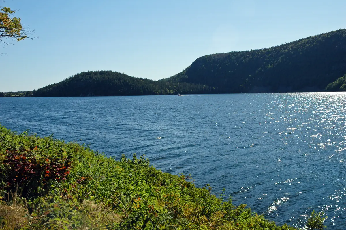
Fog can remove the visual payoff and reduce route cues on open rock. Follow blazes carefully and do not substitute a line toward the water for the actual trail.
How does Man O' War Brook change the return?
Man O' War Brook Trail trades much of the open ledge descent for a more sheltered forest route. Roots, stones, and wet ground remain, so gentler does not mean flat or obstacle-free.
The junction is also a navigation decision. Confirm the sign and map before leaving the summit area because an improvised descent can put you on the wrong side of the mountain.
| Feature | Acadia Mountain sides | Man O' War Brook and fire road |
|---|---|---|
| Exposure | Open granite, steep steps, and summit views | Sheltered forest and a lower connector |
| Movement | Hands may help on high steps and ledges | Roots, stones, wet ground, and road walking |
| Wet-weather concern | Slippery granite and reduced visibility | Mud, roots, and stream moisture |
| Role in current loop | Western ascent and eastern descent | Approach to the western trail junction |
Man O' War Brook does not bypass the mountain portion. It positions you for the western climb, so a group that reaches the junction and dislikes the conditions should turn back there rather than assume the forest connector solved the exposed terrain.
How do you cross Route 102 safely?
The parking area and restrooms sit across Route 102 from the trail. Traffic moves quickly through a corridor where drivers may not expect hikers stepping from parked cars.
Gather the group before crossing, keep children close, and wait for a clear gap in both directions. Do not let the person holding the map lead half the group across while others are still collecting packs.
- Finish footwear, packs, water, and map checks beside the vehicle.
- Walk together to the designated crossing point with full visibility.
- Wait until both directions are clear rather than relying on a driver to wave you through.
- Cross directly and regroup before entering the trail.
- Repeat the same check after the hike when fatigue can reduce attention.
An Acadia entrance pass is required. A Cadillac Summit Road vehicle reservation is not required for this trailhead because Acadia Mountain is outside that reservation-controlled road.
When should weather change the plan?
Do not use the steep granite side during ice, active thunder, or conditions that prevent secure foot placement. Strong wind on open rock can also change balance even when the forest below feels calm.
Summer heat is moderated by the coast but still increases water needs on exposed slabs. Autumn leaves can conceal roots and wet rock, while winter conditions can turn the route into a traction and route-finding problem.
- Granite is dry enough for secure uphill and downhill movement
- Thunder and strong summit wind are absent
- Visibility is adequate to follow blazes across open rock
- Every hiker is comfortable with high steps and occasional hand use
- Daylight covers a slower-than-expected descent and road crossing
A short loop still needs an exit margin. If the steep side is questionable from the trailhead, choose a lower route rather than climbing toward a decision that becomes harder above the trees.
Sources
Route. National Park Service Acadia Mountain loop with Island Explorer and Acadia Mountain Trailhead support the current Man O' War Brook and fire-road approach, western ascent, eastern descent, 2.5-mile loop, 681-foot summit, terrain, road crossing, parking, and restrooms, verified August 30, 2026.
Access and conditions. Acadia current conditions and fees and reservations support the pre-hike alert check, entrance pass, and scope of the Cadillac vehicle reservation, verified August 30, 2026.
RespectHazards to plan for
- slippery granite
- steep scrambling
- road crossing
- fog
- thunderstorms
- strong wind