
How Do You Plan an Angeles National Forest Hike?
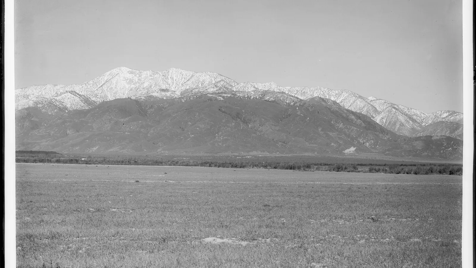
Plan Angeles National Forest hiking from current closures, access corridor, parking pass, heat or snow, fire recovery, water, camping, dogs, and fallback.
Weather
Basin heat, exposed chaparral, high-elevation snow, wind, lightning, smoke, and debris-flow rain can occur within one mountain system.
Plan the practical details
- Access
- Angeles Crest Highway, Highway 39, foothill roads, and the Mount Baldy side reach separate zones whose closures and road controls can change independently.
- Permits
- Some developed trailheads require an Adventure Pass or accepted interagency pass. Wilderness entry, camping, special use, and fire rules remain separate.
Angeles National Forest rises directly above the Los Angeles basin, but a nearby trailhead can lead into high heat, winter snow, fire closures, damaged roads, or terrain with little shade.
The most reliable hiking plan begins with the current closure map and access corridor, then chooses distance and elevation.
The forest is not a single open recreation area. Fire recovery and emergency orders can close roads, trails, or broad zones while another district remains available, so an old route recommendation is never enough.
- Open the current Angeles National Forest alerts page
- Match the trailhead to its ranger district and access road
- Check whether parking requires an Adventure Pass or accepted interagency pass
- Read fire restrictions before packing a stove
- Compare trailhead heat with summit wind, snow, or lightning
- Choose a fallback outside the same closure or drainage
Current access decides the hike. A famous summit has no practical value when the approach road, parking area, or fire-closure boundary prevents legal entry.
Is Angeles National Forest open for hiking?
Parts of the forest are usually open, but the answer must be checked by area.
Wildfire recovery, storm damage, road repair, resource protection, and public-safety orders can create boundaries that do not follow familiar trail names.
You should start with the forest alerts page, then open the order and map for any closure near the intended trailhead.
A news report about a fire ending does not cancel the official order that governs public entry.
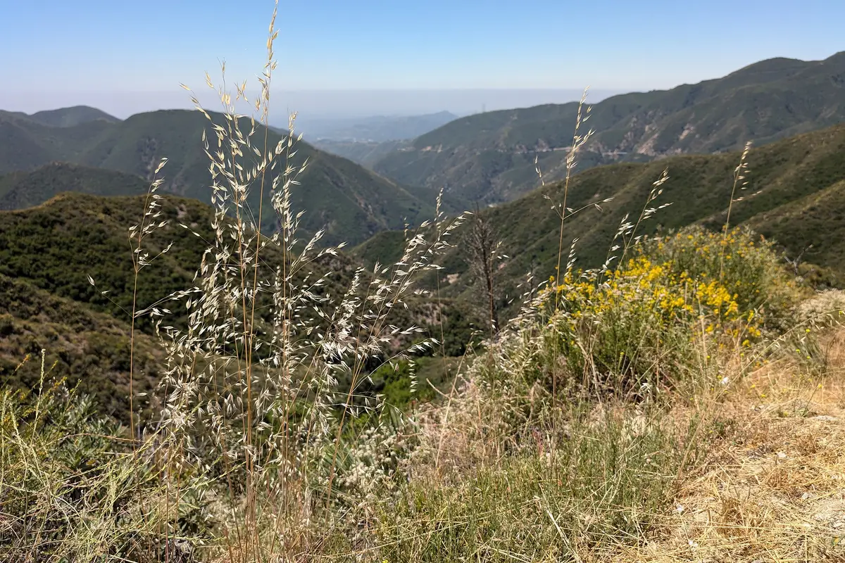
You should check again on the morning of travel because wind, fire behavior, flooding, and repair work can change access quickly. Save the order or map offline where mobile service is unreliable.
Read both the written boundary and its map. A trailhead can sit outside a closure while the ridge, canyon, or exit lies inside it, so checking only the parking pin can produce a legal start and an illegal route.
Where should you hike in Angeles National Forest?
The San Gabriel Mountains contain several distinct access corridors. Angeles Crest Highway reaches high country from the west, Highway 39 approaches drainages from the south, and the Mount Baldy side serves steep eastern routes under its own road and closure conditions.
Lower foothill routes can be hot and exposed even when they sit close to neighborhoods. Higher trailheads reduce summer heat but introduce altitude, wind, lingering winter snow, and longer consequences if the road closes.
Published Forest Service examples show how sharply the choices differ.
The Mount Baden-Powell route from Vincent Gap is listed at about four miles one way with roughly 2,800 feet of gain, while Bear Creek is listed as an 11-mile trail from the Highway 39 side. These figures are planning references only because an active closure or road order overrides the recreation listing.
Angeles Crest corridor
High trailheads, ridge exposure, winter closures, and long drives between alternatives.
Front Range foothills
Quick urban access with intense heat, limited shade, and crowded parking.
Highway 39 drainages
Canyon travel where fire, flood, and road orders control entry.
Mount Baldy side
Steep elevation gain, winter snow, and separate San Bernardino boundary questions.
Western forest
Chaparral, historic fire impacts, and route-specific recovery closures.
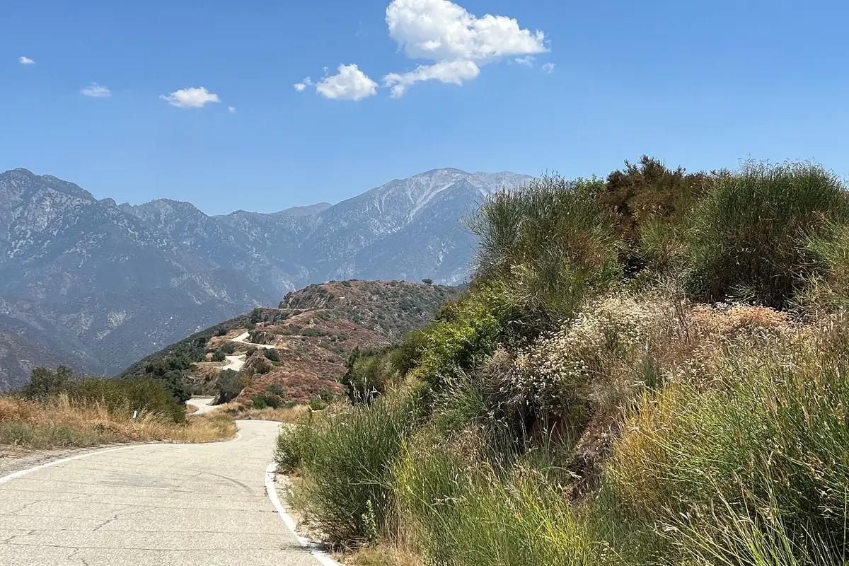
Pick a corridor that fits the forecast and vehicle, then select a trail inside it. This order prevents a route name from hiding a closed gate, rough road, or two-hour transfer to the fallback, and the final trail choice can account for distance, gain, surface, and the slowest person.
Record the road agency as well as the land manager. The Forest Service may manage the trail while Caltrans, a county, or another authority controls the road that makes the trailhead reachable.
Do you need an Adventure Pass to park?
Some developed recreation sites and trailheads require a National Forest Adventure Pass or an accepted interagency pass.
Other locations have no fee, so the exact site page and signs determine the requirement.
A pass covers only the vehicle. It does not authorize entry into a closure, reserve a parking space, permit overnight camping, or replace a wilderness permit where one applies.
| Item | What it does | What it cannot do |
|---|---|---|
| Adventure Pass | Covers parking at participating Southern California national forest sites | Override a closure or reserve a space |
| Interagency pass | May satisfy the recreation fee where accepted | Authorize camping or special use |
| Wilderness permit | Records entry where the named wilderness requires it | Pay a parking fee |
| Campground reservation | Assigns a site under facility rules | Permit roadside camping |
| Fire permit or restriction | Governs allowed flame use under current rules | Guarantee that stoves remain legal during higher restrictions |
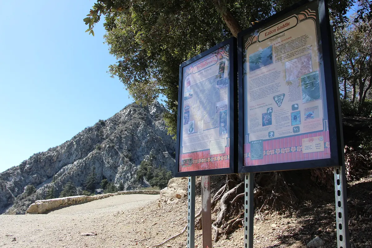
You should display the pass as directed and park only in a marked legal area. A full lot does not make a turnout, gate, or narrow mountain-road shoulder safe.
Keep payment and permit questions separate during planning. The correct parking pass can still accompany an illegal camp, closed trail, or stove use prohibited by the current fire restriction.
When is it too hot to hike the lower San Gabriels?
There is no safe universal temperature because shade, humidity, water, pace, acclimatization, and emergency access change the load.
Lower chaparral routes can become dangerous early in the day, while a high ridge may be much cooler and windier.
You should use the forecast for the trailhead and the high point, then calculate exposure by hour.
An early start helps only when the group also sets a turnaround before the hottest return and carries enough water for delays.
A heat-controlled day
- Two days beforeCompare trailhead and ridge forecastsThe route matches the real elevation band
- Night beforeFreeze or cool part of the water supply and confirm shadeThe group starts with usable capacity
- At sunriseCheck actual temperature, wind, and smokeThe plan changes before commitment
- At each hourCompare water use and pace with the turnaroundThe return reserve remains protected
- Before noonLeave exposed lower terrain when the threshold is reachedDescent does not happen in peak heat
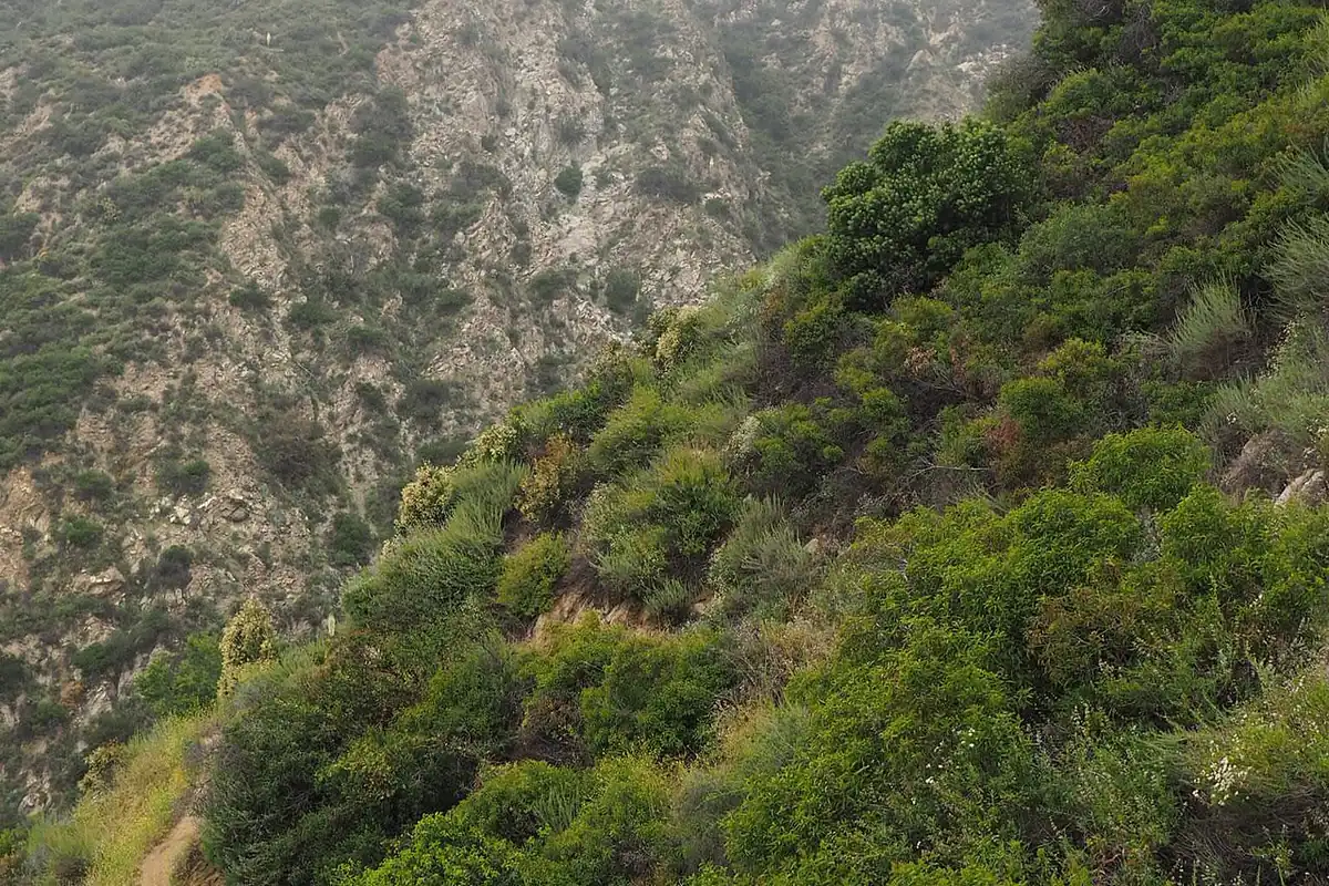
Heat illness can progress faster than the group can return to a road. Stop for headache, nausea, unusual fatigue, dizziness, confusion, or loss of coordination, and call emergency services for altered mental status or collapse.
Measure water at the turnaround instead of relying on thirst. If the group has consumed more than the planned outbound share, begin the return immediately because the exposed descent often requires more water than the cooler climb.
Can you hike Angeles National Forest in winter?
Yes, but winter conditions vary sharply by elevation.
Lower foothills may be dry while shaded high slopes hold hard snow or ice that creates a serious fall hazard.
Road closures and chain controls can block a high trailhead before the walking begins. You should check Caltrans or the responsible road agency as well as the Forest Service, and do not park where snow removal or emergency traffic needs the lane.
Classify the route by the worst continuous surface, not by the dry trailhead. A short shaded traverse of hard snow can control the entire day even when most of the path is bare.
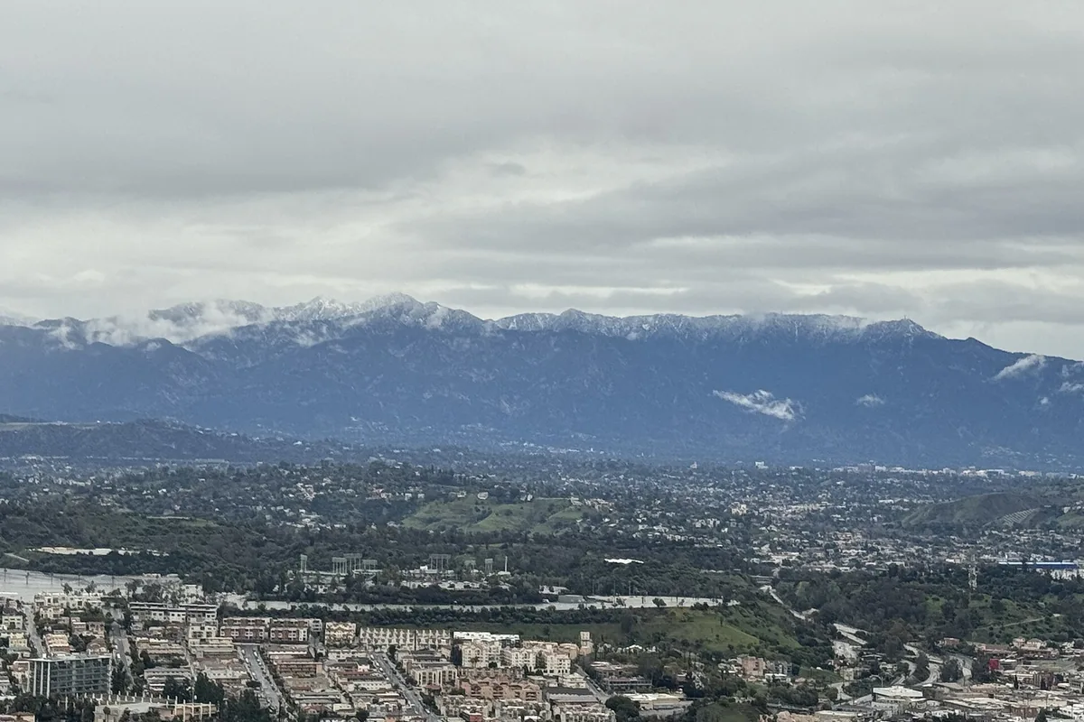
Traction does not make every slope appropriate. If a slip would carry a person into rocks or a gully, the group needs the equipment and arrest skill for that terrain or a different route.
Wildfire effects last beyond reopening
Wildfire removes shade, weakens roots, changes drainage, and leaves unstable trees and rock.
A trail can remain closed after flames are out because the first heavy rain may send debris through a burned canyon.
Rain over a burn scar can create fast runoff and debris flow with little warning. Avoid narrow drainages during storm watches and obey evacuation or closure orders even when the immediate trailhead sky looks clear.
- Burned slope
- Lower shade, loose soil, damaged roots, and falling-rock exposure
- Dead tree
- Wind can drop limbs or the whole trunk beyond the visibly burned area
- First heavy rain
- Increased flash-flood and debris-flow potential
- Closure order
- Legal boundary remains active until officially changed
- Smoke
- Air quality can make an otherwise open route unsuitable
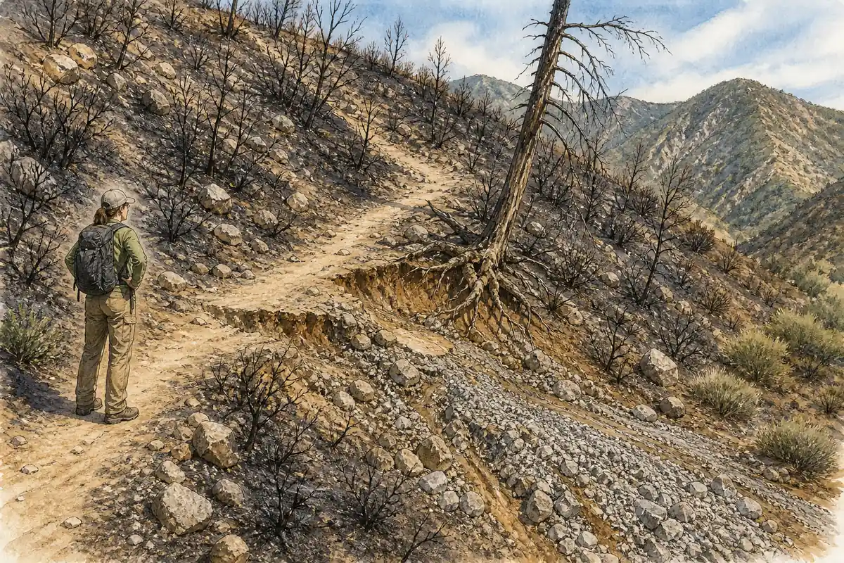
You should not walk around a barrier to inspect damage. Trail crews and emergency managers may be addressing hazards that are not visible from the closure point.
After reopening, expect a familiar route to behave differently. Lost canopy increases heat, new drainage cuts can erase tread, and weakened trees may fall during wind long after the fire is no longer visible from the basin.
Seasonal water means carrying the dry-route supply
No.
Many routes cross seasonal creeks that can be dry, contaminated, or inaccessible, and developed water may be unavailable even at a recreation site.
Carry the full requirement for short dry routes and map a confirmed source for longer travel. If a longer route depends on collection, choose a water filter that fits silty or intermittent sources, treat every natural source, and never build an itinerary around a crowd-sourced report without checking its date and recent weather.
- Estimate water from distance, elevation, heat, and the slowest person
- Confirm whether the trailhead has operating potable water
- Mark natural sources and a dry-route alternative
- Carry a reserve that is not consumed before turnaround
- Treat collected water before drinking
- End the hike when use exceeds the planned return allowance
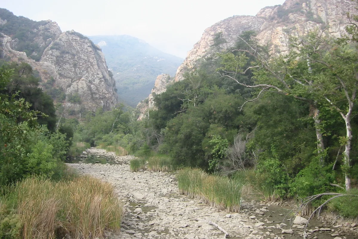
Water cached by another person may be empty, damaged, or intended for a specific group. Carry your own safety margin.
For a dry ridge, place the final confirmed source before the hardest climb on the map. The group turns there when remaining carried water cannot cover the climb, descent, and a delay, even if the summit appears close.
Can you camp in Angeles National Forest?
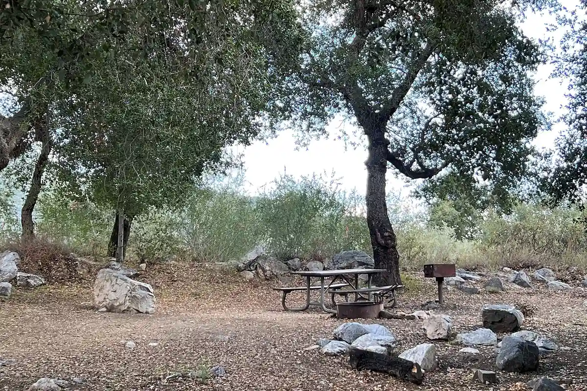
Developed campgrounds, trail camps, wilderness camping, and roadside dispersed use follow different rules.
Closures, fire restrictions, occupancy limits, and reservation systems can apply even when the surrounding forest is open to day hiking.
Extreme restrictions can prohibit stoves. Bring food that can be eaten cold whenever the restriction level or forecast makes flame use uncertain.
Developed campground
Posted season, fee, reservation, water, and fire rules.
Trail camp
Walk-in site whose capacity and water may be limited.
Wilderness night
Permit and campsite practices set by the named wilderness.
Roadside use
Allowed only where current orders and signs expressly support it.
Closure area
No camp or shortcut is legal inside the active boundary.
You should keep food secured from bears and smaller animals, and do not leave a tent or equipment to hold a site beyond the rules. A legal overnight plan includes the return road and any gate time the next morning.
Check whether the campground’s water and trash service operate on the travel date. An open site with seasonal facilities can still require the group to carry all water and pack out every item.
A useful backup changes the access corridor
The backup should sit outside the same closure, fire scar, storm drainage, and access road.
Two trailheads on Angeles Crest Highway can fail together when snow, rockfall, or a road order blocks the corridor.
Use a lower urban-edge route only when heat and air quality are acceptable. On hot or smoky days, postponing is a stronger backup than moving into a different exposed canyon.
You should leave the exact trailhead, vehicle, route, turnaround, and overdue time with an outside contact. Mobile service can disappear behind a ridge only a short drive from the city, and familiarity with the skyline does not provide a rescue location.
Name the backup corridor in that message before departure. If the group changes plans at a full lot or closed gate, one short update then gives the outside contact a complete route instead of an improvised place name.
Are dogs allowed on Angeles National Forest trails?
Dogs are allowed on many forest trails, but wilderness rules, recreation-site restrictions, heat, wildlife, and shared use still control the decision. A plan for hiking with a dog must include paw temperature, carried water, wildlife, and a route the handler can safely descend.
Keep the dog leashed where required and under close control everywhere else.
Chaparral can hide rattlesnakes, sharp plants, and hot ground. Carry enough water for the animal, check paws frequently, and turn around at heavy panting, weakness, vomiting, or loss of coordination.
Snow presents a different problem because a dog can slide into a chute or pull a handler off balance. A leash does not make steep icy terrain safe for either partner.
Pack out waste near developed corridors and keep dogs away from water sources used by people. In a campground, secure food and the animal so wildlife does not learn to enter occupied sites.
How hard are San Gabriel hikes compared with their mileage?
Many routes climb directly from low canyon floors to ridges, so a short distance can contain substantial elevation gain and exposed descent.
Loose decomposed granite, eroded tread, and repeated sun exposure add effort that a mileage-only app does not show.
Compare elevation gain per mile, highest elevation, shade, surface, and escape points before assigning difficulty. A five-mile ridge walk in cool weather and a five-mile canyon climb in summer are not equivalent days.
Descending deserves its own time budget. Tired legs slip more easily on loose switchbacks, and an afternoon return can place the group in stronger heat than the morning ascent.
Choose for the least experienced person's downhill control and heat tolerance. A summit reached by one strong hiker does not solve the group's return to the vehicle.
A full trailhead ends that parking plan
Leave for the preselected alternative rather than circling, stopping in a travel lane, or parking beyond the legal edge.
Mountain roads need clear space for emergency vehicles, snow work, and drivers negotiating blind corners.
The alternative should have a separate access point and a route that fits the same heat, snow, and fire forecast. A second trail from the full lot does not solve parking, and a nearby canyon may still sit inside the same closure.
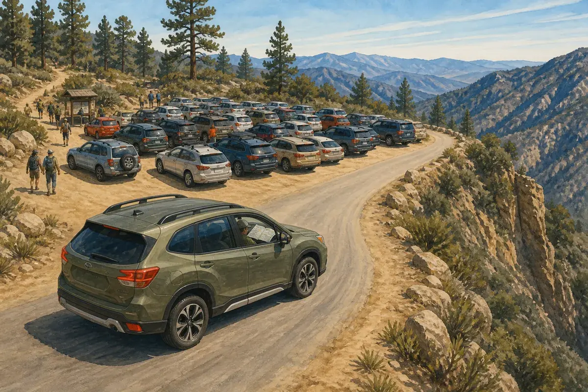
If no legal space exists at either option, postpone the hike. Starting late after a long parking search removes daylight and water margin before the first step.
Tell the outside contact when the route changes. A person searching the original trailhead cannot help responders locate a group that quietly moved to another canyon.
Before leaving the alternative lot, repeat the water, map, and turnaround check. The backup may have different elevation, shade, and mobile coverage even when it lies only a few road miles away.
Sources
Access, recreation sites, passes, permits, fire restrictions, and active closure orders came from USDA Forest Service pages for Angeles National Forest. State-highway status and chain controls should also be confirmed through Caltrans QuickMap, while county roads require the responsible local agency.
Heat, snow, fire-recovery, water, camping, and trail status can change rapidly. Check the exact trailhead page, current forest alerts, weather, air quality, and road controls on the day of travel.
RespectHazards to plan for
- extreme heat
- wildfire and smoke
- winter snow
- debris flow
- dry water sources
- road closures