
How Do You Plan an Alpine Lakes Wilderness Hike?
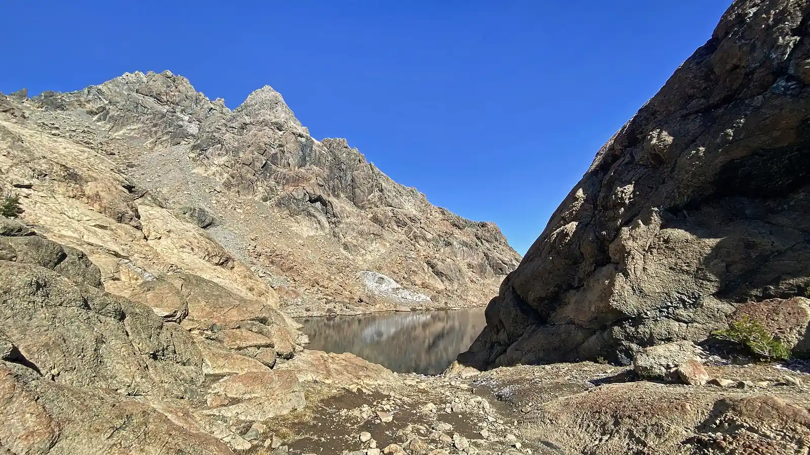
Plan Alpine Lakes Wilderness by west or east corridor, Enchantments boundary, permit, parking, snow, camp, dogs, water, and turnaround terrain.
Weather
West-side rain, eastern heat, lingering pass snow, runoff, lightning, smoke, and early autumn cold create different windows by corridor.
Plan the practical details
- Access
- I-90, Highway 2, Icicle Creek, Cle Elum, and Teanaway approaches reach different sides of the wilderness through two national forests.
- Permits
- All visitors use the applicable wilderness permit. Enchantments overnight zones have a limited quota system, while most other entries use self-issued permits in season.
Alpine Lakes Wilderness hiking spans two sides of Washington's central Cascades, dozens of trailheads, and a permit system that changes when a trip enters the Enchantments.
The important planning question is not simply which lake looks best, but which access corridor, snow level, parking requirement, camp rule, and exit the group can manage.
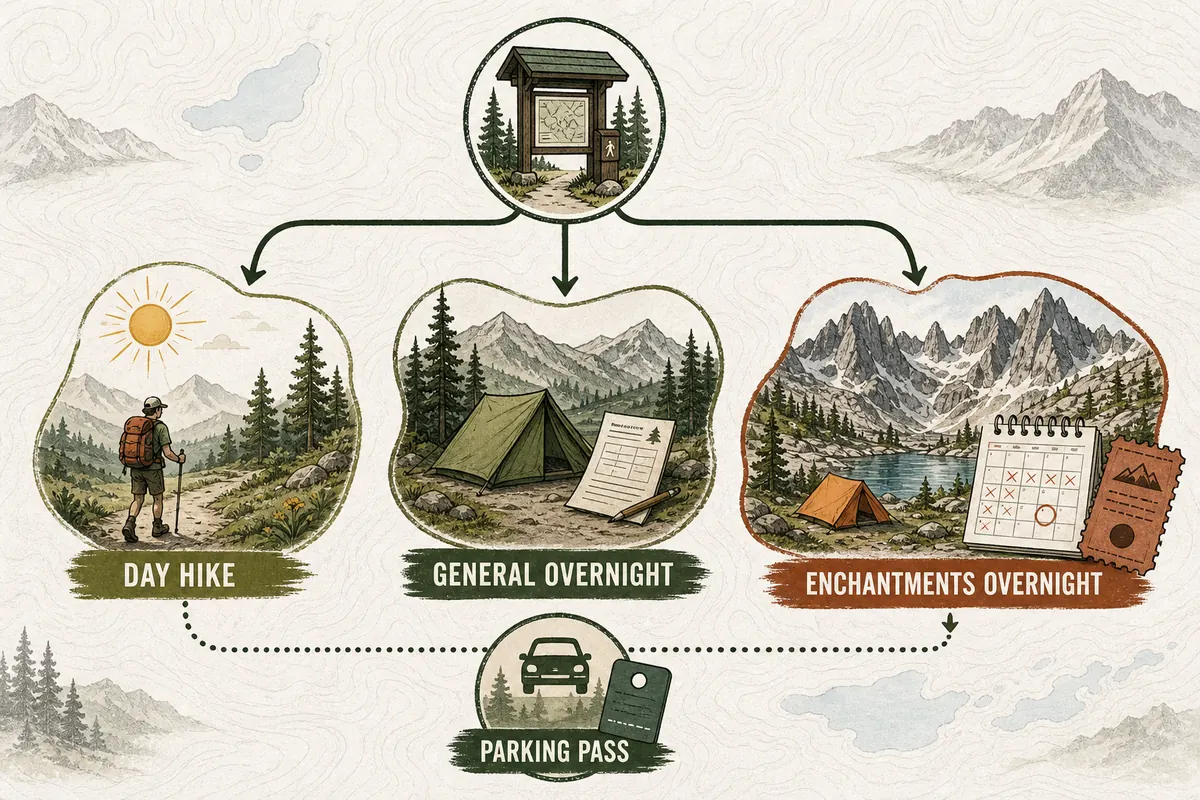
Most of the wilderness uses a self-issued wilderness permit during the published season, while the Enchantments Permit Area has a limited overnight permit system and tighter rules. Locate the permit boundary before choosing camp.
- Name the exact trailhead and managing national forest
- Check whether the route enters the Enchantments Permit Area
- Confirm the parking pass required at that trailhead
- Read current road, fire, snow, and restoration closures
- Set a turnaround for steep snow and high creek crossings
- Carry a legal camp option outside fragile lakeshores
The wilderness is close to Seattle and the I-90 corridor, but proximity does not make every route simple. Popular western trailheads can fill early, while eastern approaches may involve long forest roads, intense heat, or a permit boundary that is easy to misunderstand.
Where should you start an Alpine Lakes Wilderness hike?
The western side is commonly reached from I-90 and Highway 2 through Mount Baker-Snoqualmie National Forest.
These corridors serve routes toward Snow Lake, Pratt Lake, Granite Mountain, Necklace Valley, and other wet, forested approaches.
The eastern side is managed through Okanogan-Wenatchee National Forest and includes Icicle Creek, Cle Elum, Teanaway, and Enchantments access. It is often drier and hotter at lower elevation, with roads and parking systems that differ from the west side.
I-90 corridor
Fast regional access, heavy demand, wet forest, steep snow, and several pass-controlled trailheads.
Highway 2 corridor
Lake basins and long approaches reached from separate forest roads.
Icicle Creek
Eastern Enchantments gateways with limited overnight permits and busy trailheads.
Cle Elum side
Longer roads, broad route choice, and heat or fire exposure east of the crest.
Teanaway edge
Dry forest and open ridges where water and dog rules need route-specific checks.
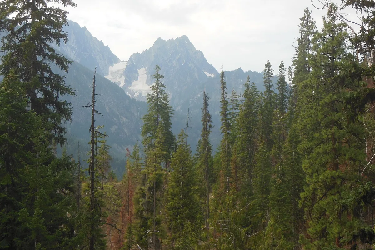
You should keep the trip inside one corridor unless the itinerary is a planned traverse. Driving from a full west-side lot to an eastern trailhead is not a practical morning fallback.
Measure the fallback drive before leaving home. A route that looks nearby across the crest can require a long highway transfer, and the second trailhead may share the same weekend parking pressure by the time you arrive.
Do you need a permit for Alpine Lakes Wilderness?
Permits are required for visitors, but the method depends on location and season.
Outside the Enchantments Permit Area, the current Forest Service system uses free self-issued permits at trailheads during the main use season.
Overnight trips inside the Enchantments zones use a limited permit allocated through Recreation.gov for the quota season. A general Alpine Lakes permit does not replace that reservation, and a parking pass does not authorize an overnight camp.
For 2026, the Enchantments quota season runs from May 15 through October 31.
Recreation.gov publishes the current advance and daily-lottery procedures, so confirm the method and dates before applying.
| Document | What it covers | What it does not cover |
|---|---|---|
| Self-issued wilderness permit | Entry outside the Enchantments quota zones | Parking fee or an Enchantments overnight stay |
| Enchantments overnight permit | Assigned zone and dates during the quota season | Any camp outside the named authorization |
| Northwest Forest Pass | Parking at a signed fee trailhead | Wilderness entry or camping permission |
| Interagency pass | Parking where the pass is accepted | Reservation, road access, or a closed area |
| Day-use Enchantments permit | Day entry under current rules | Overnight camping |
You should read the current zone map before applying. Core, Colchuck, Snow, Stuart, and Eightmile authorizations are not interchangeable simply because a hiking route can cross between them.
Write the permit name, entry date, overnight zone, group members, and vehicle requirement on one itinerary page. This catches the common mistake of solving the campsite authorization while leaving the trailhead pass or entry date unresolved.
Can you day hike the Enchantments without a lottery permit?
Day use follows a different system from overnight camping.
Current Forest Service guidance allows day visitors under the applicable day-use permit process, but the mileage, elevation, exposed rock, and limited exit options make a through-day much harder than the absence of an overnight lottery suggests.
Aasgard Pass is steep, loose, and commonly snow-covered beyond the lowland hiking season. It is not a shortcut when the group is tired and retreat is difficult.
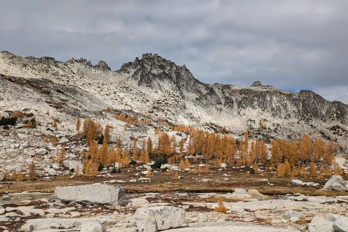
If the group wants alpine-lake scenery without the full traverse, choose an out-and-back whose return retraces known terrain. The best day is the one that preserves enough time and leg strength for the descent.
Do not use the daily permit system as a late substitute for a missed overnight plan. Day hikers still need to leave the basin, and a slow group cannot legally turn an ambitious day into an unplanned camp.
Snowline, not the calendar, opens the high country
There is no single snow-free date. Low west-side trails can open while shaded passes, north-facing slopes, and high lake basins still hold steep snow.
June and early July often combine long daylight with runoff, mosquitoes, and snow above the forest. Late July through September usually offers the widest high-country access, but wildfire smoke, heat, drought, and early autumn storms can narrow that window.
Read elevation, not the calendar
- Trailhead reportCheck road and low-elevation accessA reachable lot does not prove the pass is clear
- Satellite and snow dataEstimate continuous snow above treelineThe group carries the right traction and navigation tools
- Recent official noticeIdentify damaged bridges, fires, or restoration closuresThe plan follows current management limits
- Morning observationCompare temperature and cloud with the forecastThe turnaround moves earlier when conditions worsen
- High pointPreserve a descent margin before soft snow or stormsThe exit remains controlled
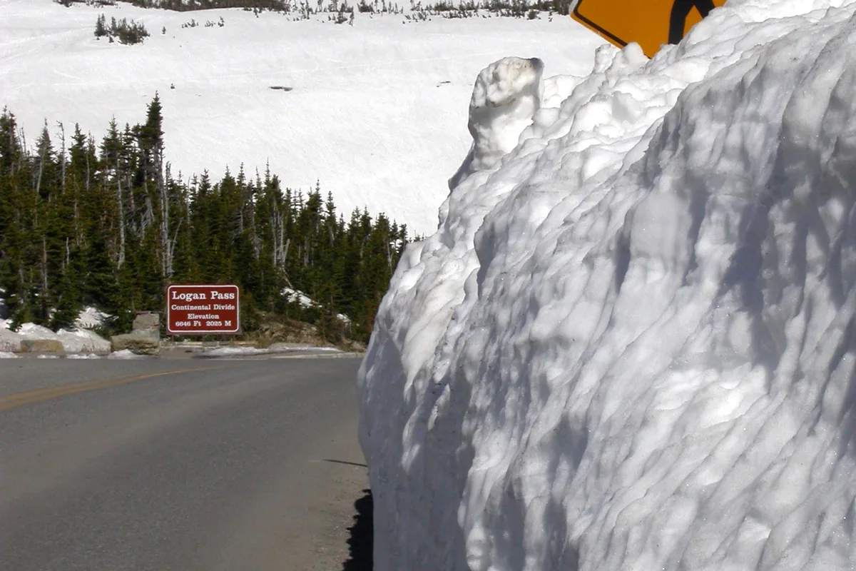
An ice axe or traction device helps only when the user knows how to apply it on the specific slope.
If a fall would continue into rocks or trees, a conservative turnaround is more useful than unfamiliar equipment.
Recent photographs help only when you match their elevation, aspect, and date to the intended slope. A sunny south-facing lake can be open while the shaded pass above it still holds hard morning snow.
Where can you camp in Alpine Lakes Wilderness?
Camping rules protect crowded lakes, meadows, and water quality. Use established durable sites where allowed, obey posted no-camping and restoration closures, and keep the required distance from water or trails when the named area specifies one.
In the Enchantments, camp only inside the zone and dates on the permit.
Elsewhere, a self-issued permit does not guarantee an open site at the first lake, so carry enough time and water to reach a legal alternative.
- Zone authorization
- Controls Enchantments overnight location and dates
- Group maximum
- Wilderness-wide limit can be tighter inside the Enchantments
- Durable surface
- Rock, gravel, or established bare ground reduces damage
- Lake restoration
- Signed closures override an old campsite or trip report
- Campfire rule
- Varies by elevation, lake, season, and current fire restriction
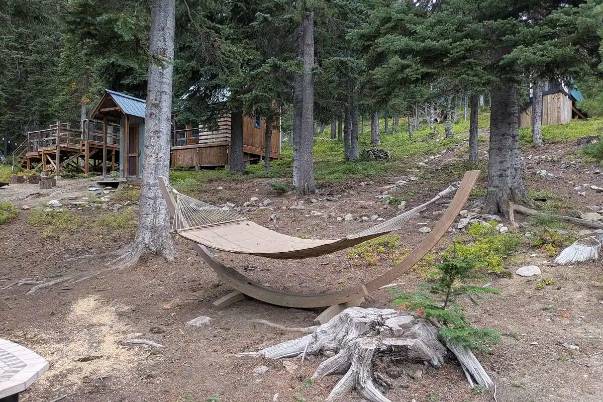
High-use basins can be noisy and exposed even when camping is legal. Bring a shelter that handles wind and a plan that does not depend on occupying one specific flat patch.
Set a latest arrival time for the first-choice basin and name the lower legal camp used after that time. This keeps fading light from pushing the group onto vegetation or across a difficult final snow slope.
Are dogs allowed in Alpine Lakes Wilderness?
Dog rules change by corridor. Before hiking with a dog, confirm the named trail, lake basin, and approach rather than relying on the wilderness-wide label.
Dogs are prohibited in the Enchantments Permit Area and at Ingalls Lake under current Forest Service guidance, while western access corridors can require leashes on named trails.
Outside those restrictions, legal access still requires control around wildlife, other hikers, stock, camps, and fragile shorelines. A dog that chases a mountain goat or enters a restoration site can create a problem even where a leash is not universally required.
Enchantments Permit Area
Leave dogs at home because entry is prohibited.
Ingalls Lake
Follow the specific no-dog rule for this heavily used destination.
Leash-required corridors
Keep the leash attached from the trailhead rather than waiting for a conflict.
Stock encounters
Step off on a safe downhill side and keep the dog close and quiet.
Backcountry camp
Secure food, waste, and the animal without expanding the campsite.
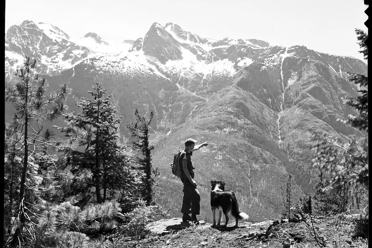
You should check the exact destination before leaving home. A route that crosses a prohibited boundary is not solved by keeping the dog leashed.
How should you plan water, bears, and food storage?
Lakes and streams are common, but every natural source needs treatment. Popular basins receive concentrated use, and a clear alpine lake can still carry pathogens.
Black bears and smaller animals learn from food left in tents or packs. Follow the current food-storage order for the managing forest and keep cooking, scented items, and washing away from the sleeping area.
- Map reliable sources and the dry distance between them
- Carry enough water for hot eastern approaches
- Collect away from busy camps and stagnant shoreline water
- Filter or otherwise treat every natural source
- Use the required approved food-storage method
- Pack out food scraps and keep wash water away from lakes
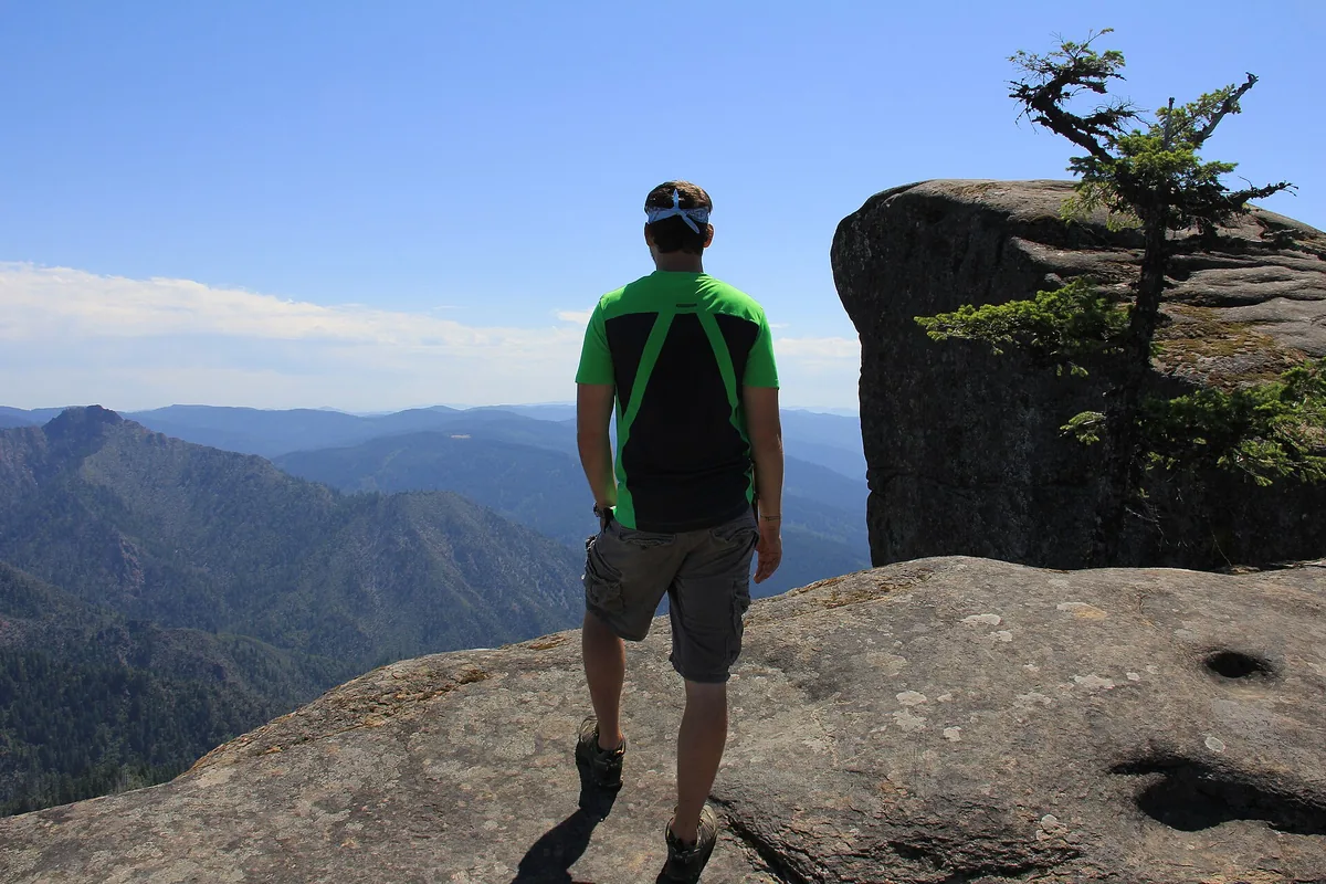
Do not depend on fire. Seasonal restrictions, high-elevation bans, and scarce wood make a stove and adequate insulation the more reliable plan.
Carry enough fuel for the coldest expected meal and a no-cook backup when restrictions can change. Food storage should remain secure during cooking and breaks, since habituated small animals often reach packs before a bear does.
What makes a safe fallback in this wilderness?
A useful fallback avoids the same permit, parking, snow, and road dependency.
Two routes from one packed trailhead are not separate options, and two high passes fail together when the snow level is the problem.
You should leave the exact trailhead, vehicle, route, permit zone, camp, and overdue time with an outside contact. Cell service drops quickly in valleys, so offline maps and a communication plan matter before the first junction.
Test the backup against the reason the primary route could fail. A lower lake on the same road may solve steep snow, but it does not solve a closed gate, fire boundary, or full parking corridor.
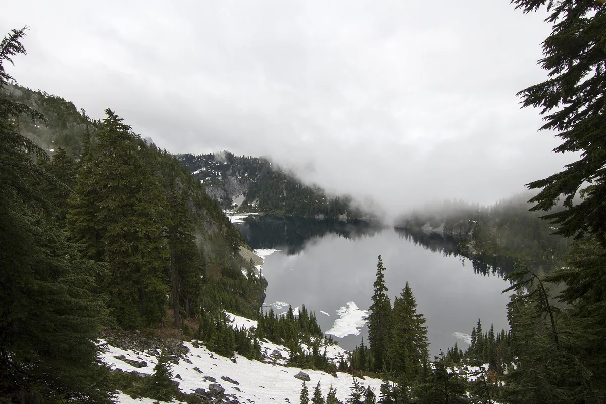
Turn around when the route depends on an unsafe crossing, unfamiliar steep snow, lightning exposure, or an illegal camp. The wilderness will remain, while the margin lost to schedule pressure cannot be recovered late in the day.
Crowded trailheads change the route before it starts
Popular I-90, Highway 2, and Icicle Creek trailheads can fill early on summer weekends.
Parking outside a legal space can block emergency access, damage vegetation, or earn a citation, while walking along a narrow forest road adds a hazard that was not in the route plan.
Arrival before sunrise helps only when overnight parking and gate access are legal. Do not sleep in a trailhead lot or roadside pullout unless the managing forest explicitly permits that use.
Build the fallback before leaving home. A lower route from another trailhead can work, but a second hike from the same full lot is not an independent option.
Crowding continues beyond the vehicle. Give uphill hikers room, avoid widening switchbacks to pass, and wait for a durable place before stepping off the tread.
At camp, move on when the only available ground is vegetation, a closed restoration plot, or an illegal lakeshore. Carry enough daylight and water to reach the next legal option rather than expanding an established site.
Crowd pressure can also change the descent. Passing groups on narrow granite or steep snow takes time, so the turnaround should preserve a queue and route-finding margin instead of assuming the outbound pace will continue.
Can you swim in alpine lakes?
Swimming is not a reliable way to cool down or clean up in high country.
Snow-fed water can be dangerously cold, shorelines can drop quickly, and sunscreen or soap harms water quality when used at the edge.
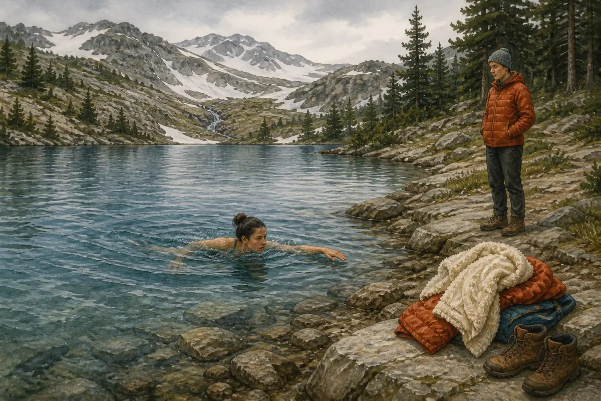
Enter only where swimming is allowed, conditions are calm, and you have a controlled exit. Never jump from unknown rock, and keep a warm layer ready because a short immersion can impair coordination.
Wash people and dishes away from the lake with a small amount of biodegradable soap where local rules allow it. Pack out food scraps and strain wash water so a popular basin does not become a feeding site for wildlife.
Set the turnaround before the pass
You should set the turnaround at a terrain feature and a clock time before departure.
A named pass, lake outlet, creek, or trail junction is easier to recognize than a vague promise to turn around when the group feels tired.
You should move the time earlier when snow, heat, smoke, navigation errors, or parking delays consume the reserve. Do not move it later because the destination appears close across a basin, since the remaining line can contain the steepest ground.
On an out-and-back, protect energy for the same descent and crossings already completed. On a traverse, include transport delay and the possibility that the final trailhead cannot be reached by the planned vehicle.
Every person should be able to call the turnaround without arguing against the group goal. A clear rule prevents the strongest hiker from deciding for someone whose balance, water, or warmth is already declining.
Use two independent triggers when possible, such as a clock time and a terrain condition. The group turns when either trigger is reached, which prevents a fast approach from justifying entry onto unsafe snow or a clear slope from justifying a late return.
If lightning develops near exposed granite or ridges, descend before the storm is overhead. Trees at the trailhead do not show the wind and electrical exposure at a high pass.
Cold rain deserves the same respect as snow. Wet clothing, wind, and a long stop can lower body temperature during summer, so protect insulation in a waterproof liner and keep one warm layer unused until it is needed.
Groups should remain close enough to communicate at junctions and crossings. If people travel at different speeds, agree to regroup before every branch rather than at a lake whose approach can split into several social paths.
Sources
Permit types, Enchantments zones, group limits, dog restrictions, and wilderness regulations came from the USDA Forest Service pages for Okanogan-Wenatchee and Mount Baker-Snoqualmie National Forests. The 2026 quota dates and lottery procedures came from the official Recreation.gov permit pages.
Current fire, restoration, road, bridge, and snow notices can change during the season. Verify the named corridor with the managing forest before departure and carry the permit and parking documents required for that specific trip.
RespectHazards to plan for
- steep snow
- cold water
- lightning
- wildfire and smoke
- parking pressure
- navigation loss